Uphill
124m

Length
6km
Duration
1h30min
Elev gain
124m
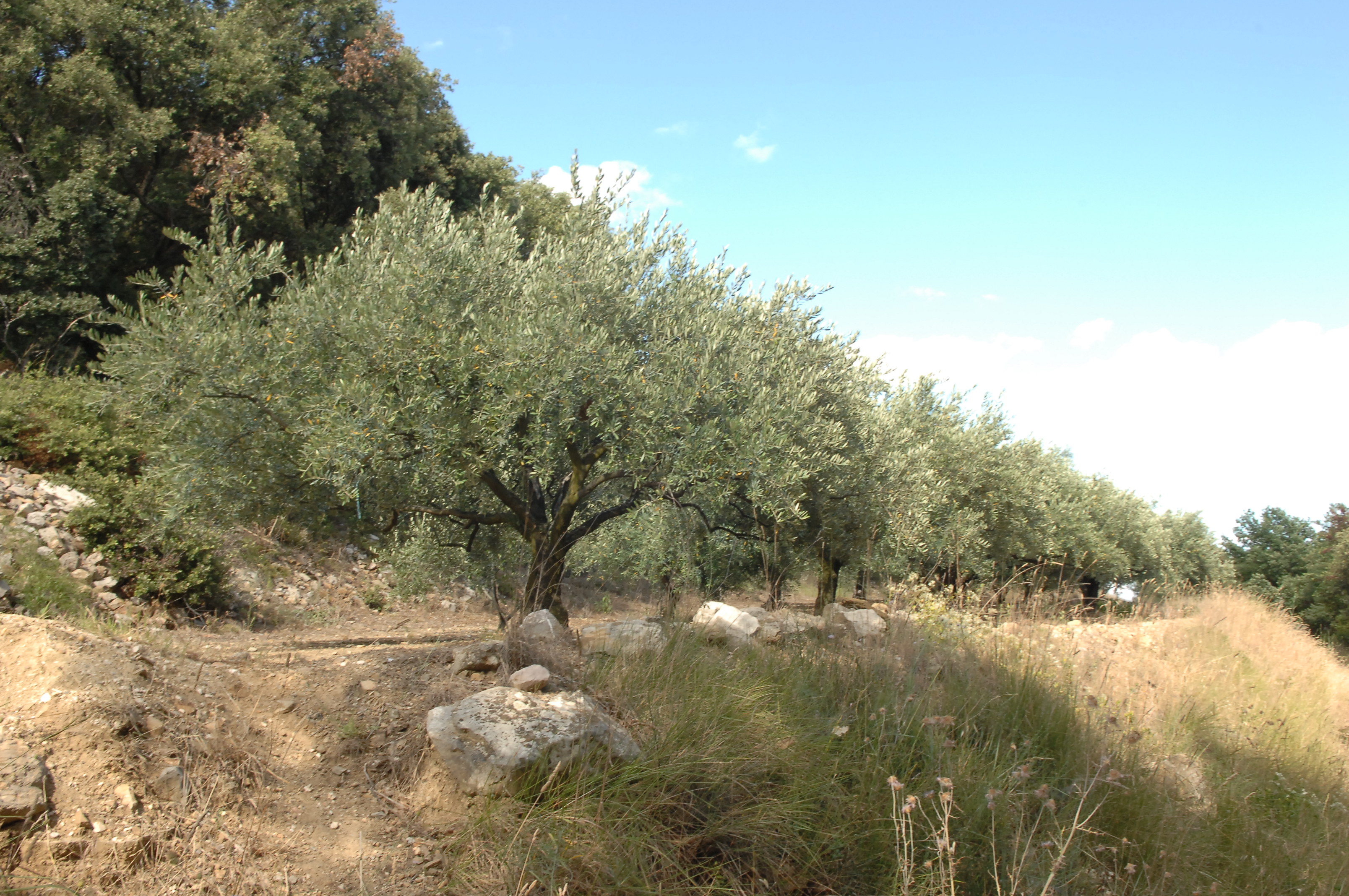
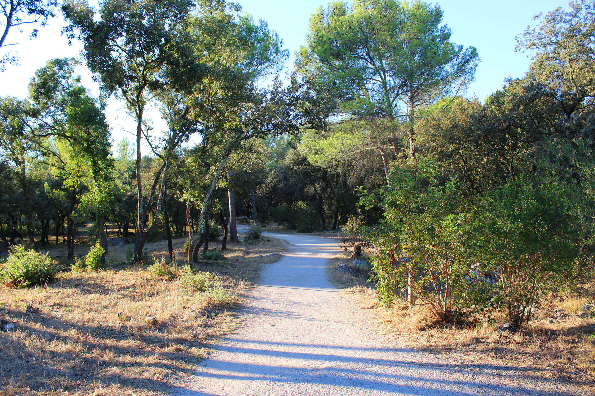
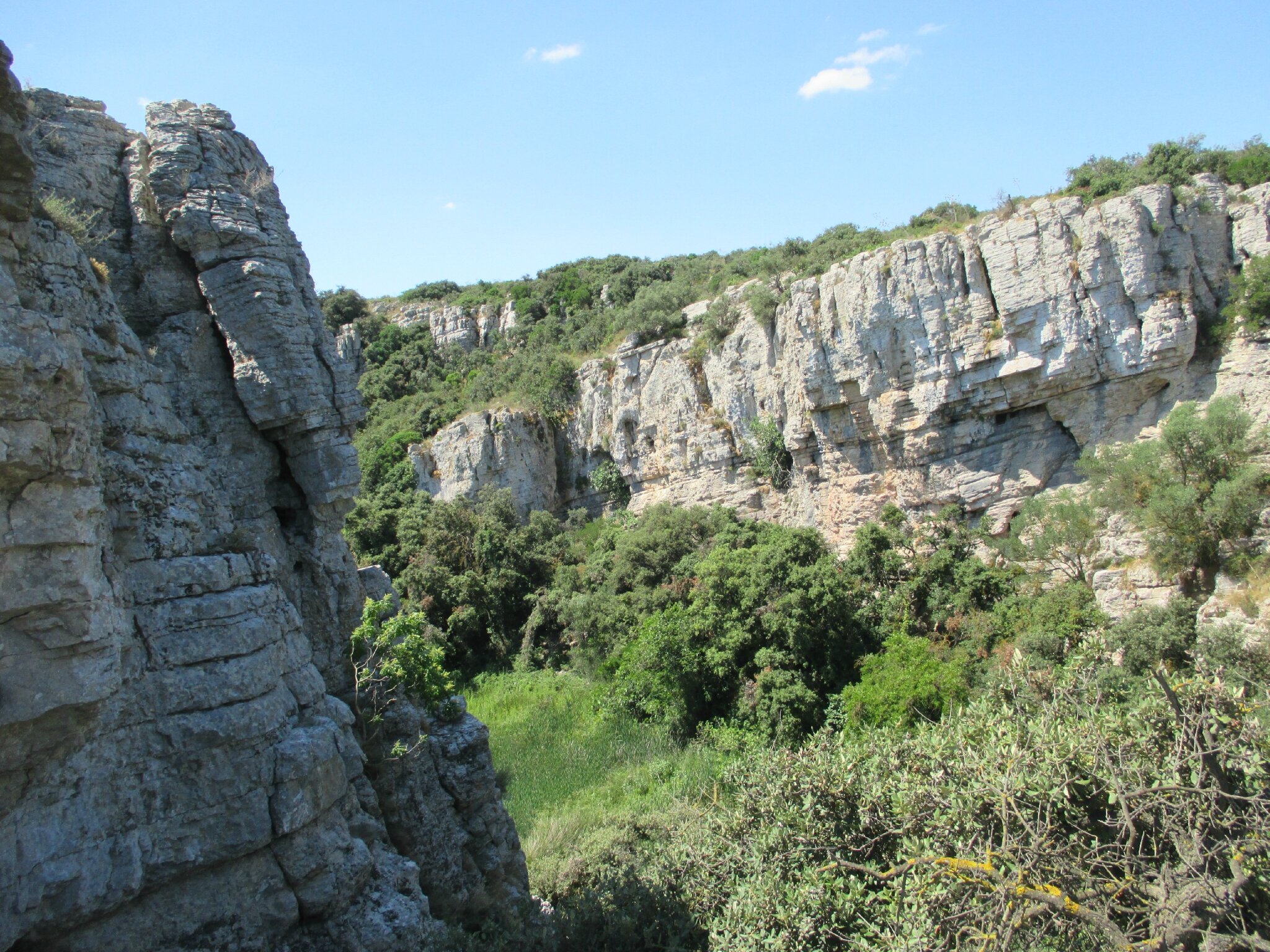
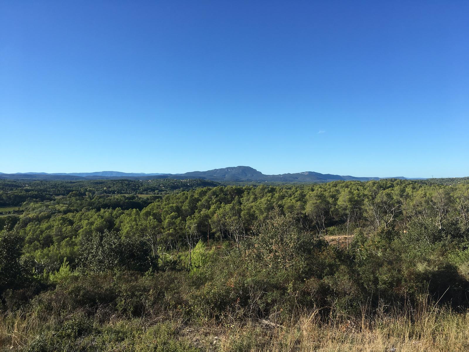
Departing from Saint-Georges-d'Orques, take a short stroll through the scrubland, taking in particular the old railway line from Montpellier to Rabieux.

Already more than 200,000 users!
Uphill
124m
Highest point
147m
Downhill
124m
Lowest point
65m
Route type
There and back
Download the map on your smartphone to save battery and rest assured to always keep access to the route, even without signal.
Includes IGN France and Swisstopo.
I indicate whether dogs are allowed or prohibited on this trail
All year
0 ratings
Also enjoy:

Already more than 200,000 users!