Uphill
185m

Length
10km
Duration
3h
Elev gain
185m
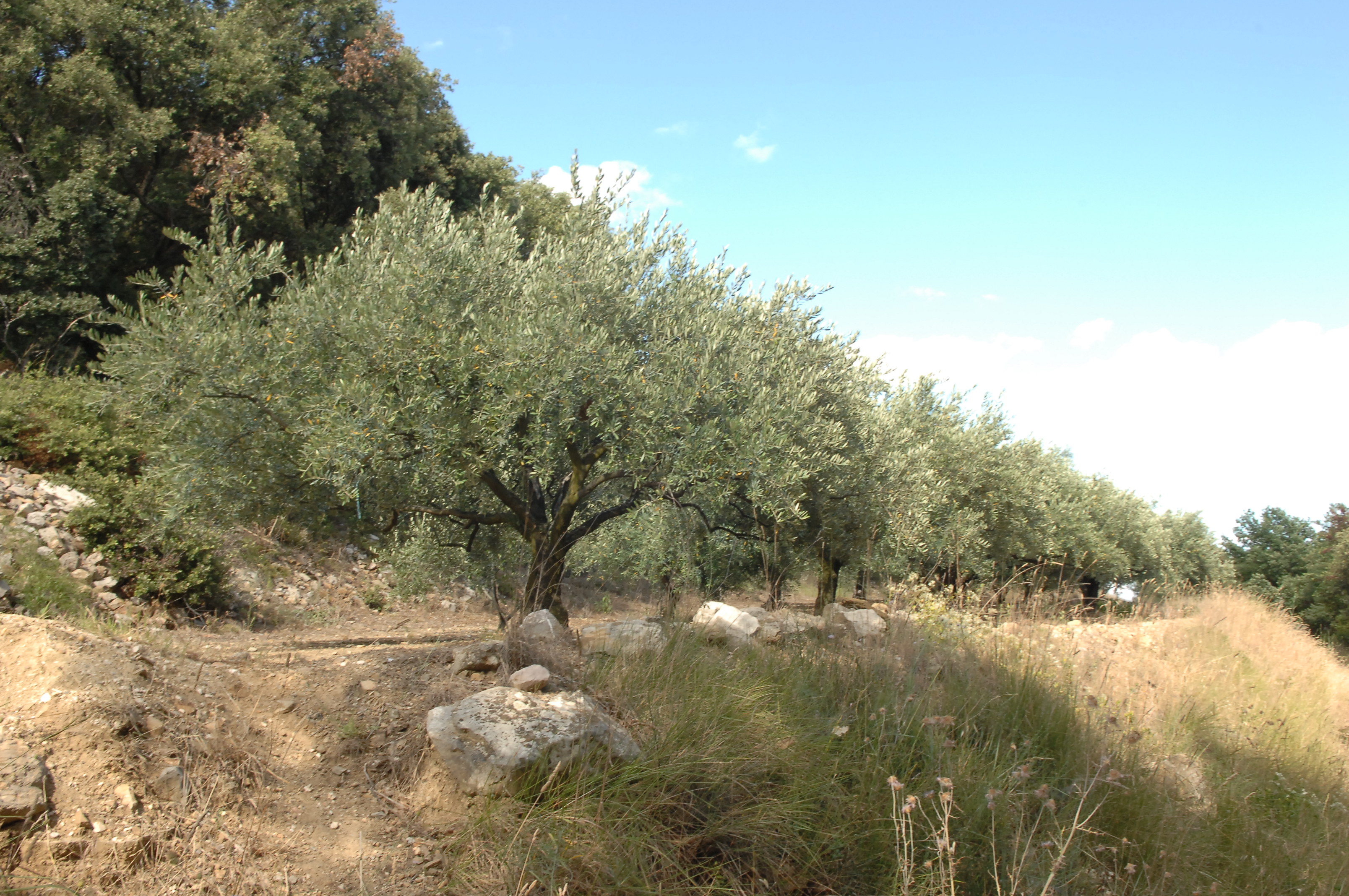
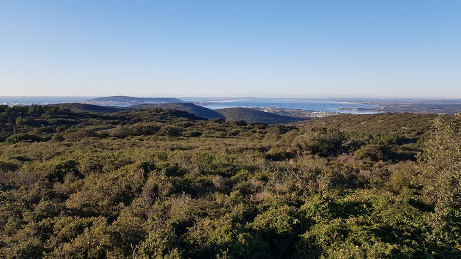
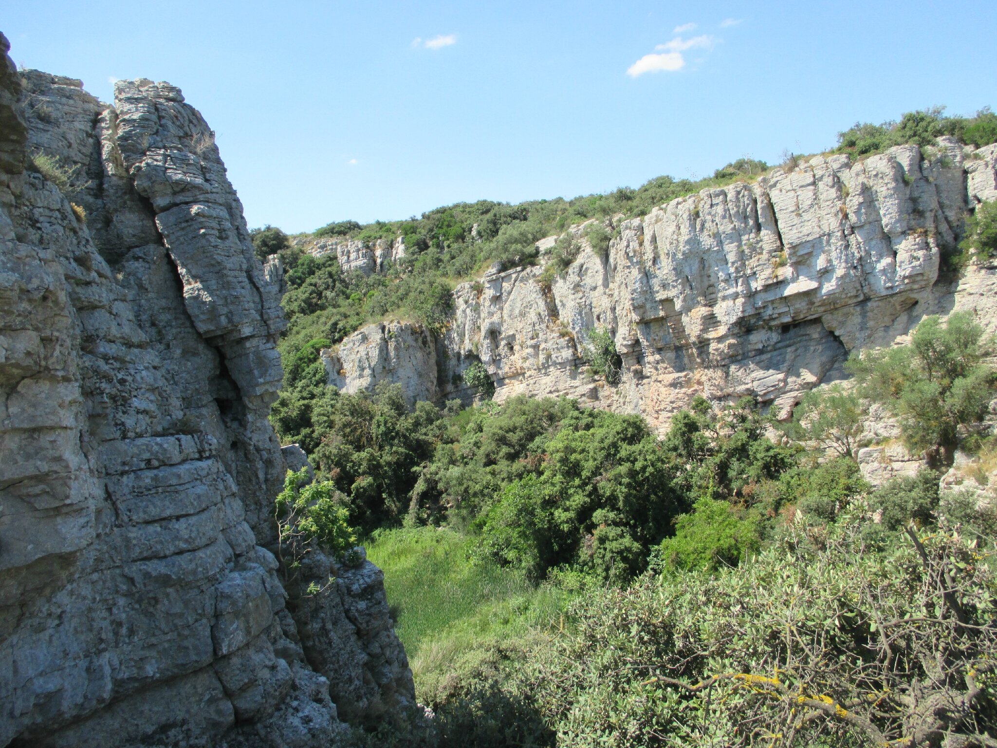
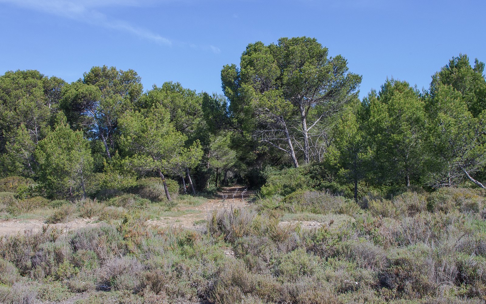
Departing from Cournonterral, this hike makes a loop in a wild environment with beautiful flora. There are many paths to alternate between tracks and trails according to your desire.

Already more than 200,000 users!
Uphill
185m
Highest point
193m
Downhill
185m
Lowest point
35m
Route type
Loop
Download the map on your smartphone to save battery and rest assured to always keep access to the route, even without signal.
Includes IGN France and Swisstopo.
I indicate whether dogs are allowed or prohibited on this trail
All year
0 ratings
Also enjoy:

Already more than 200,000 users!