Uphill
308m
Length
12km
Duration
4h
Elev gain
308m
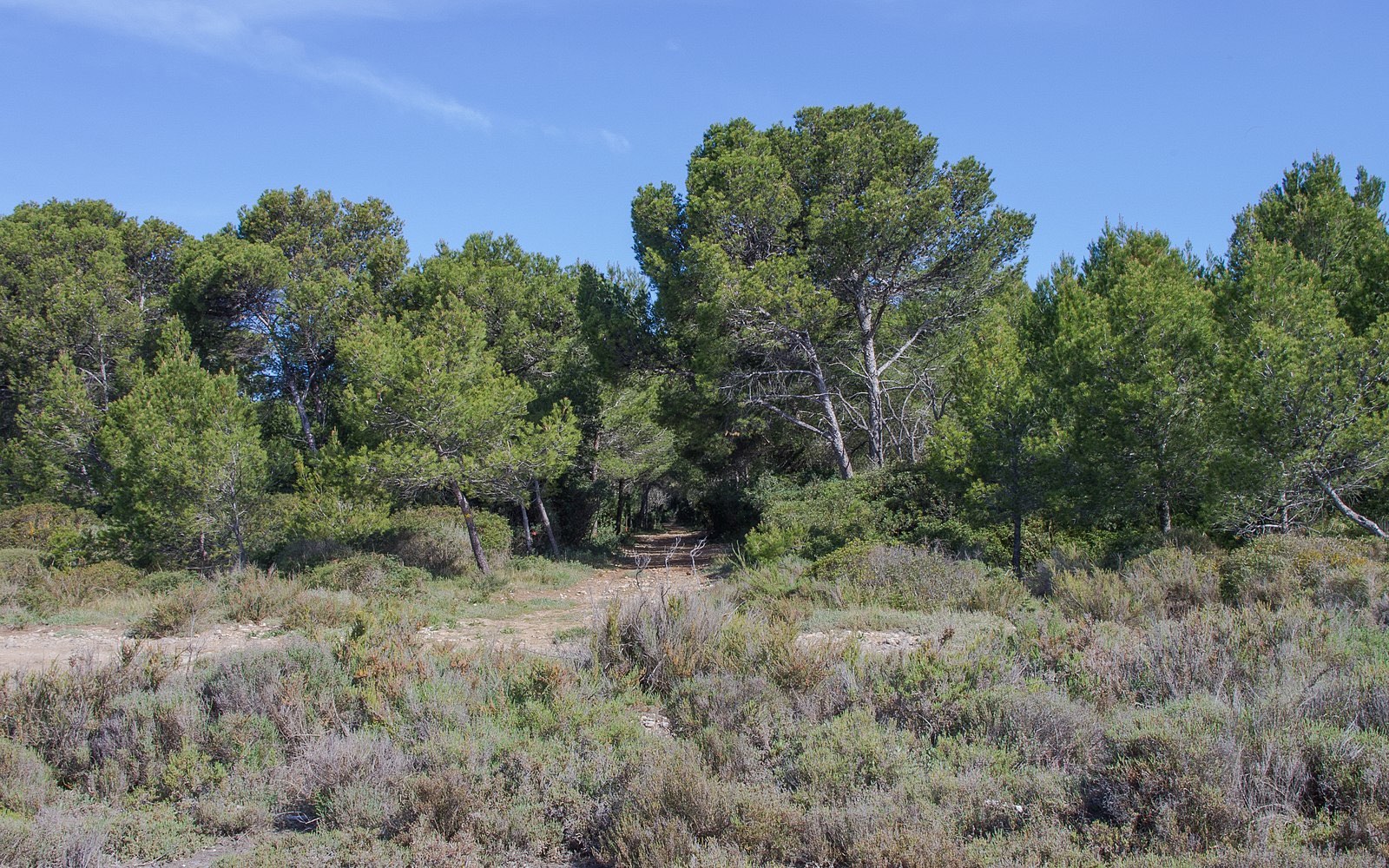
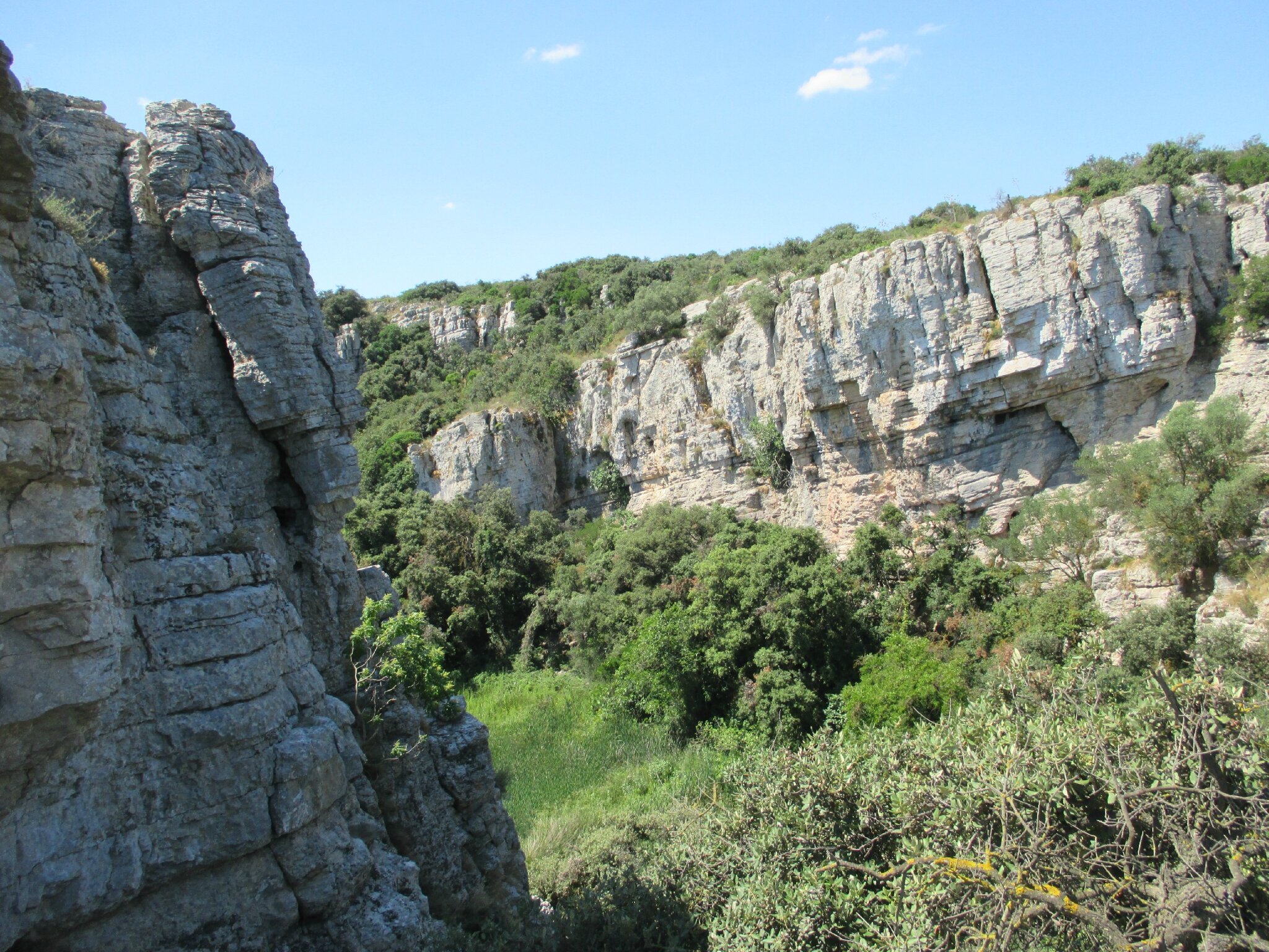
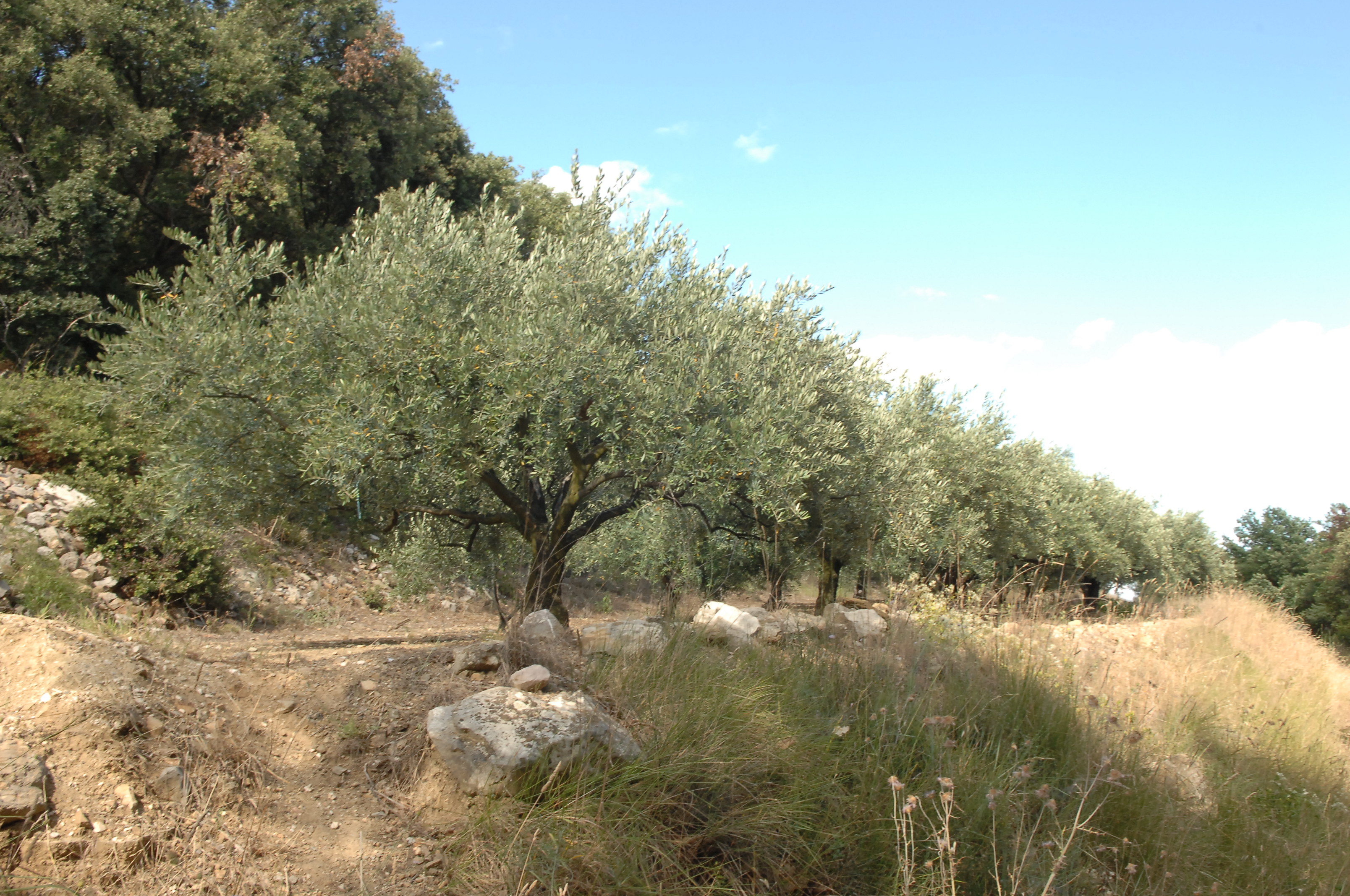
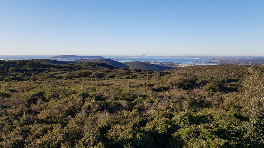
Departing from the ruins of the abbey of Saint-Félix-de-Montceau, stroll through a massif made up of scrubland, pines, cypress and rosemary. Some pretty views over the Mediterranean Sea and as far as the Pyrenees in good weather, especially from the Roc d'Anduze.

Already more than 200,000 users!
Uphill
308m
Highest point
234m
Downhill
308m
Lowest point
52m
Route type
Loop
Download the map on your smartphone to save battery and rest assured to always keep access to the route, even without signal.
Includes IGN France and Swisstopo.
I indicate whether dogs are allowed or prohibited on this trail
All year
1 rating
Also enjoy:

Already more than 200,000 users!