Uphill
190m
Length
8km
Duration
2h30min
Elev gain
190m
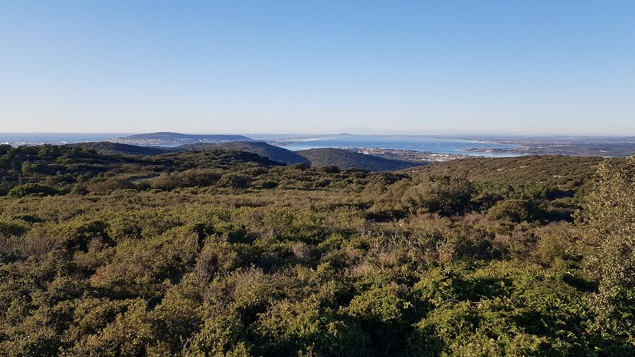
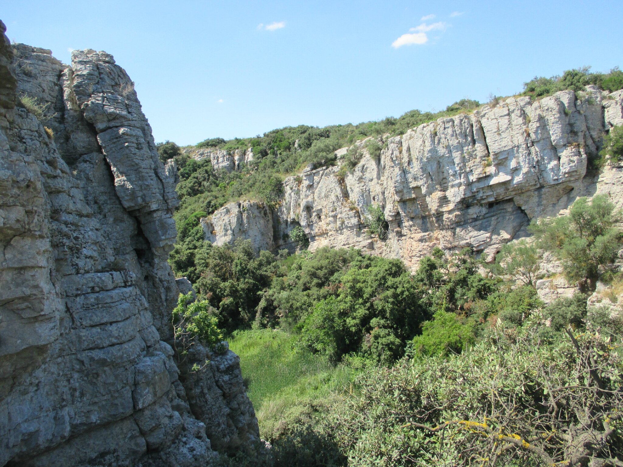
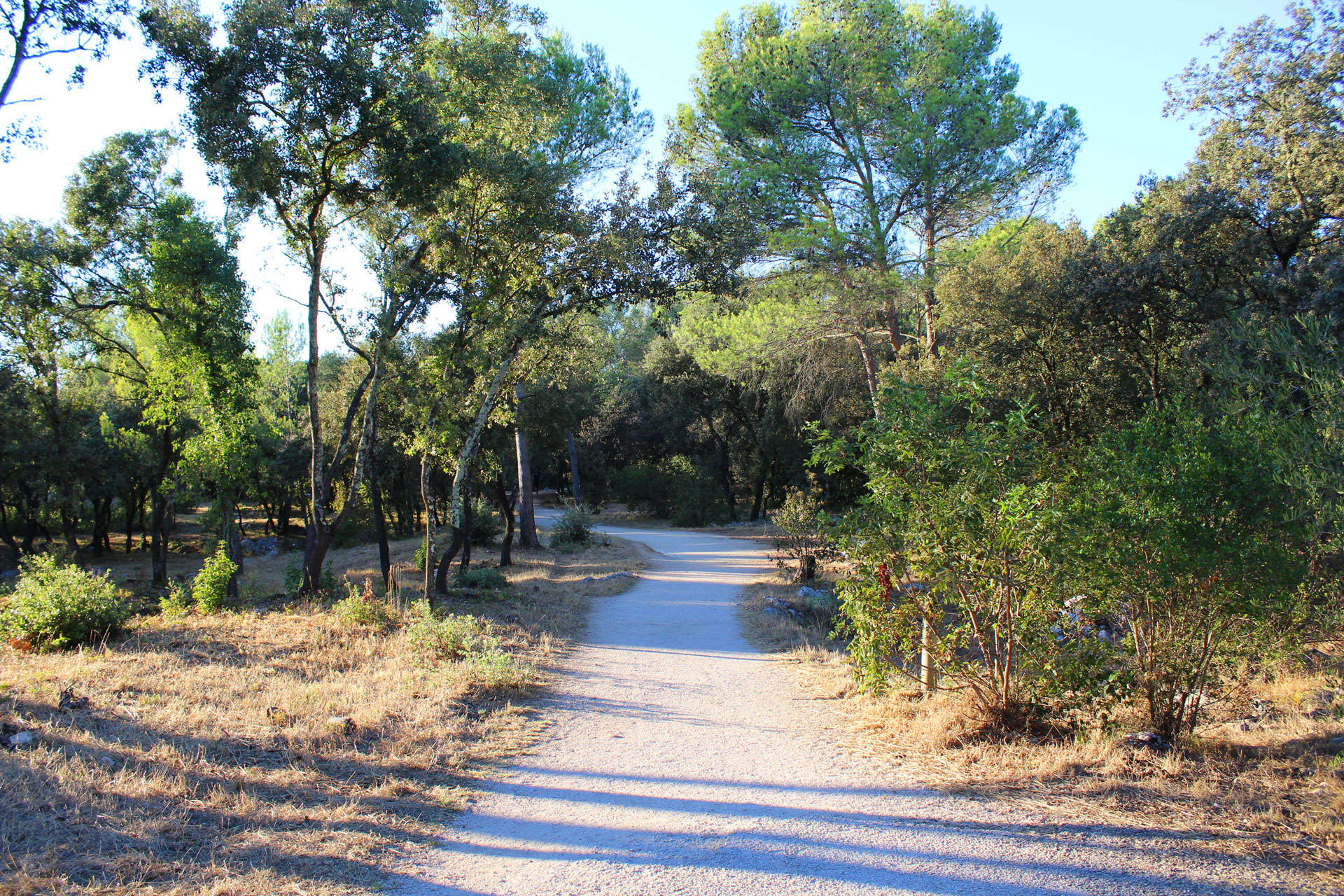
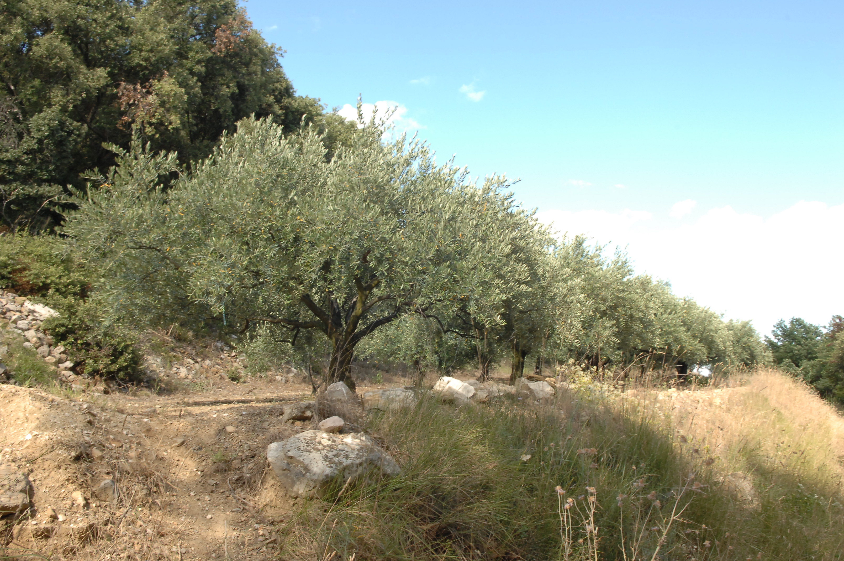
Walk from Murviel-lès-Montpellier, offering lovely views of the surroundings from the garrigue, and passing through the oppidum of Altimurium.

Already more than 200,000 users!
Uphill
190m
Highest point
204m
Downhill
190m
Lowest point
104m
Route type
Loop
Download the map on your smartphone to save battery and rest assured to always keep access to the route, even without signal.
Includes IGN France and Swisstopo.
I indicate whether dogs are allowed or prohibited on this trail
All year
0 ratings
Also enjoy:

Already more than 200,000 users!