Uphill
109m
Length
6km
Duration
1h30min
Elev gain
109m
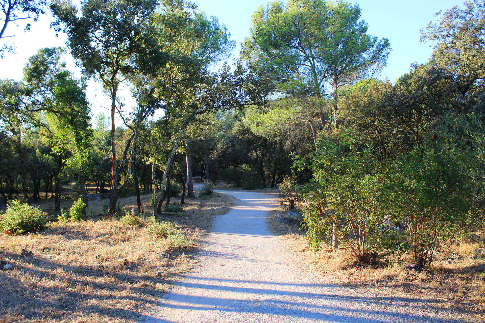
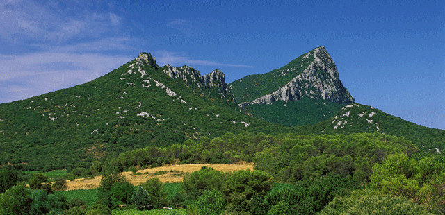
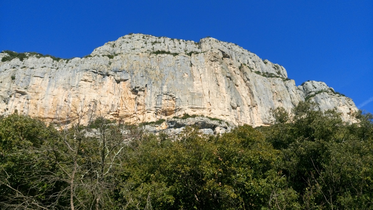
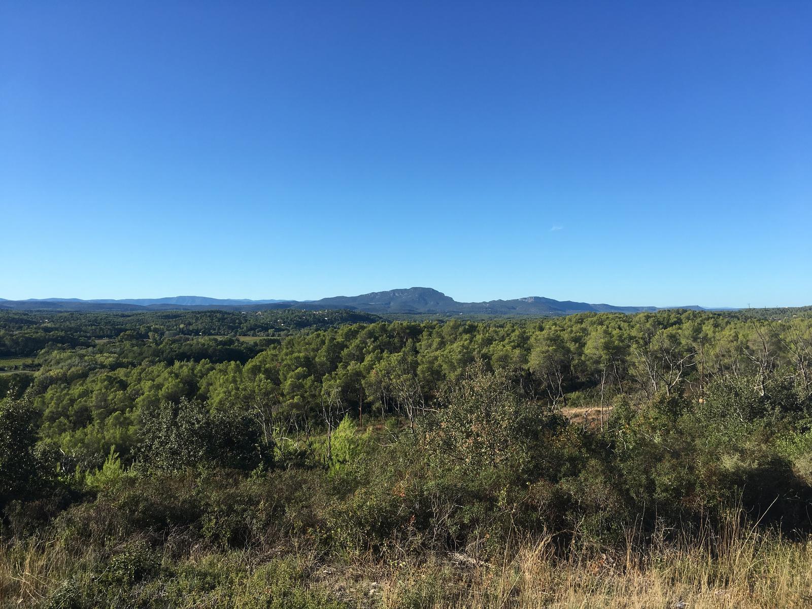
Walk in the forest on the heights of Lez, in a massif dominated by the Aleppo pine. Viewpoints over the villages of Montferrier and the valley of Clapiers, Teyran and Castries, the Pic St Loup and the Hortus.

Already more than 200,000 users!
Uphill
109m
Highest point
122m
Downhill
109m
Lowest point
48m
Route type
Loop
Download the map on your smartphone to save battery and rest assured to always keep access to the route, even without signal.
Includes IGN France and Swisstopo.
I indicate whether dogs are allowed or prohibited on this trail
All year
2 ratings
Also enjoy:

Already more than 200,000 users!