Uphill
240m
France > Occitanie > Pyrénées-Orientales > Catalan Pyrenees Regional Natural Park
Length
8km
Duration
2h30min
Elev gain
240m
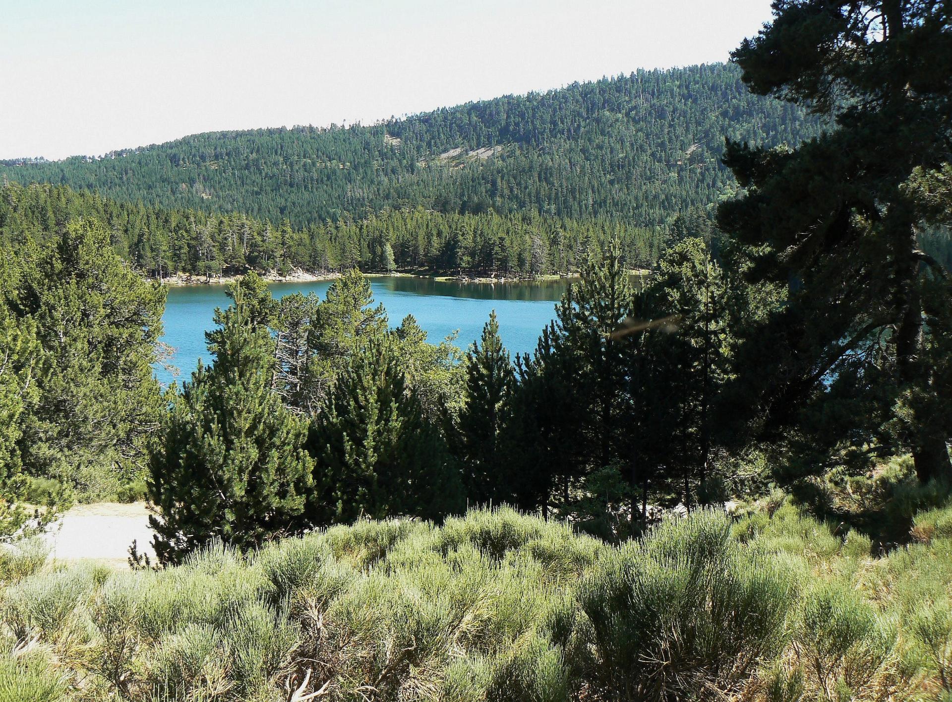
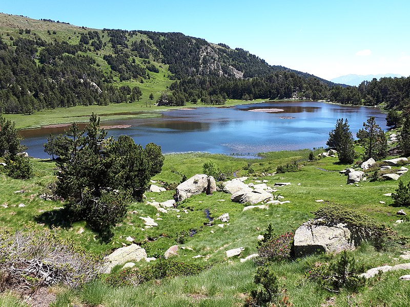
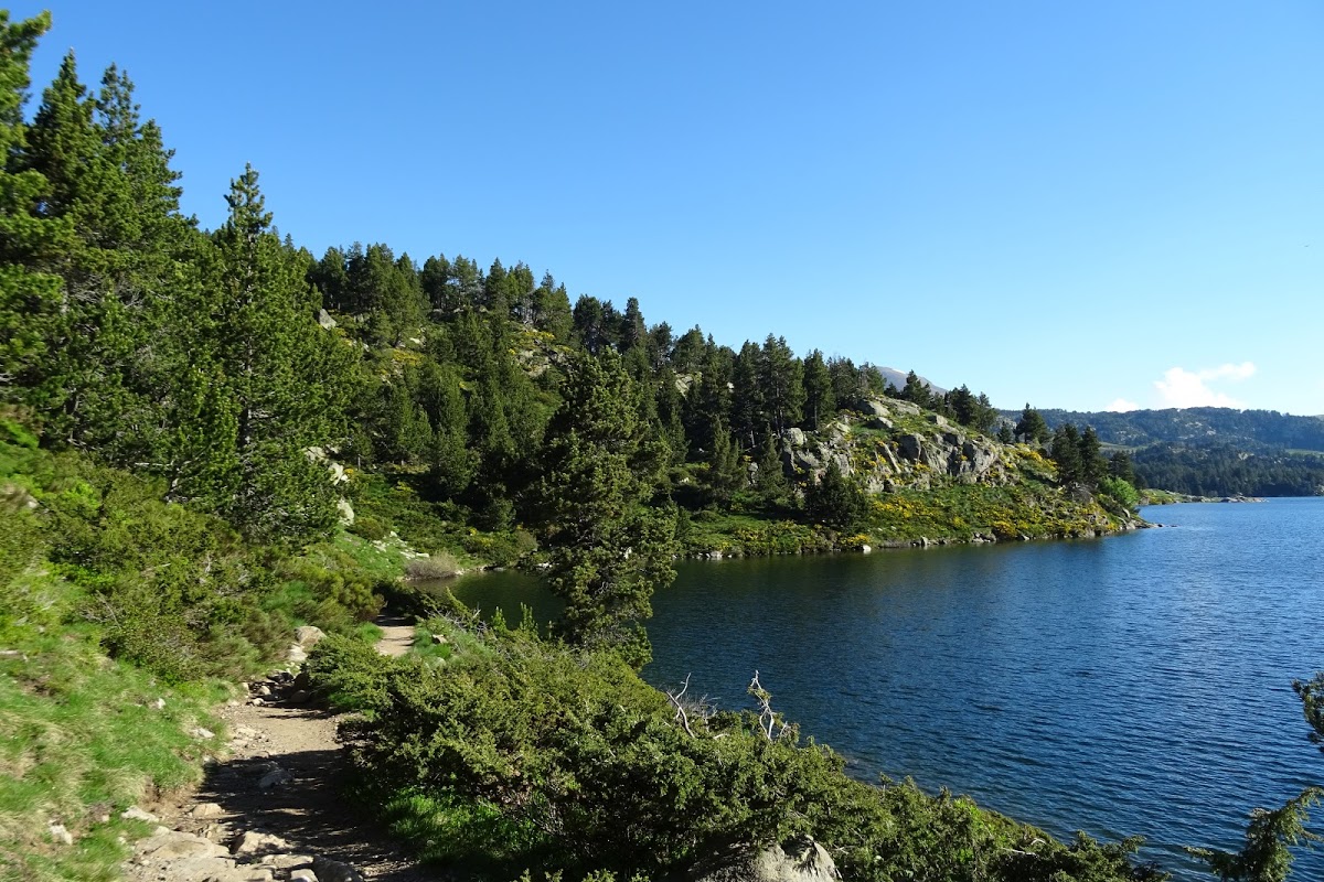
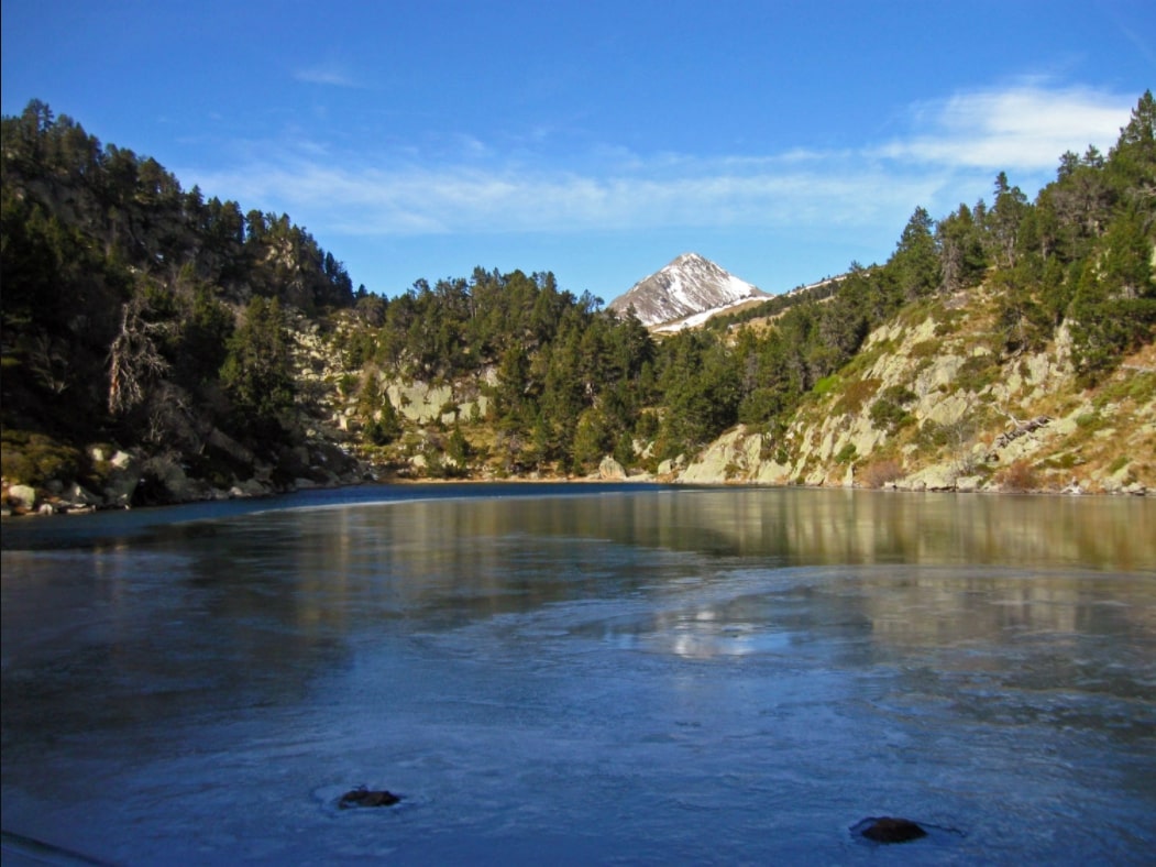
Pretty hike that leads to the Balmette pond, at more than 2,000 meters above sea level. The walk is mainly on a wide track, in the undergrowth then along a river, before emerging on the beautiful Balmette pond.

Already more than 200,000 users!
Uphill
240m
Highest point
2057m
Downhill
240m
Lowest point
1841m
Route type
There and back
Download the map on your smartphone to save battery and rest assured to always keep access to the route, even without signal.
Includes IGN France and Swisstopo.
I indicate whether dogs are allowed or prohibited on this trail
From May to September
0 ratings
Also enjoy:

Already more than 200,000 users!