Uphill
426m
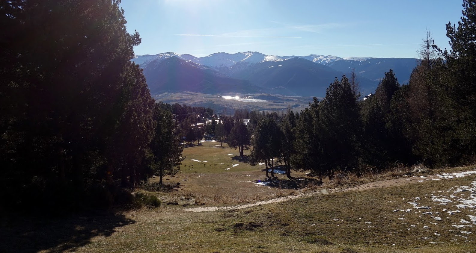
France > Occitanie > Pyrénées-Orientales > Catalan Pyrenees Regional Natural Park
Length
12km
Duration
4h
Elev gain
426m
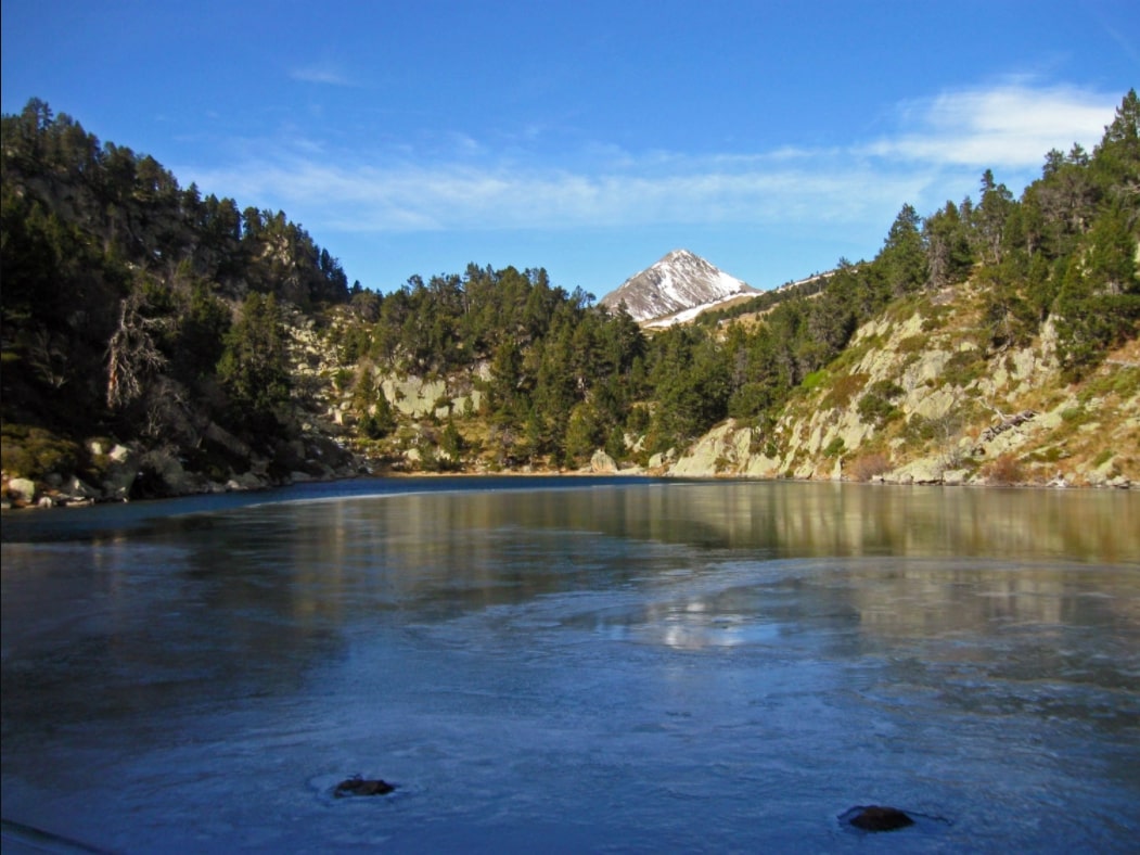
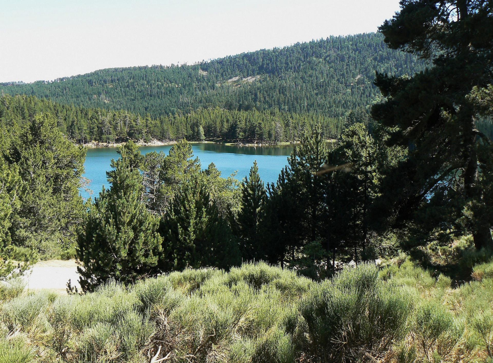
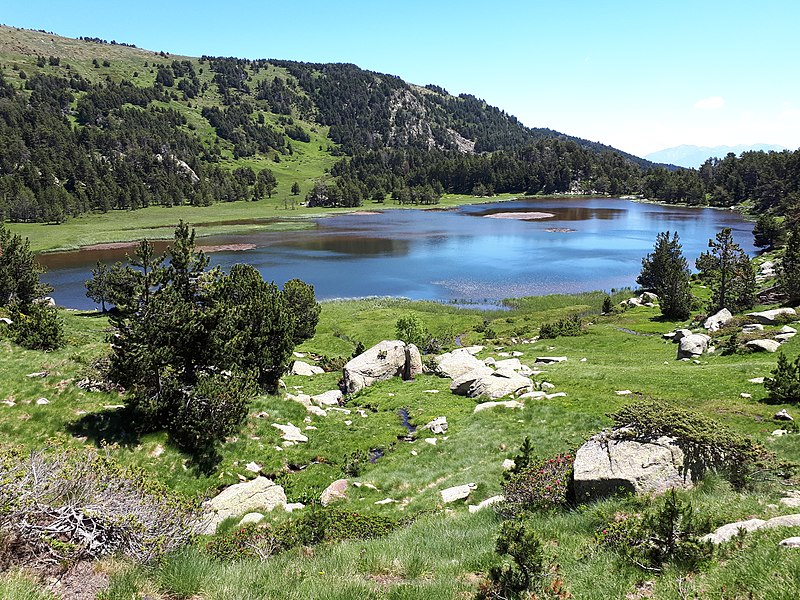
Nice hike to discover Lake Aude Pla del Mir at 1,796 meters above sea level. The path runs along the Aude and crosses it twice. At the top, the lake takes place in a magical setting.

Already more than 200,000 users!
Uphill
426m
Highest point
2159m
Downhill
426m
Lowest point
1797m
Route type
Loop
Download the map on your smartphone to save battery and rest assured to always keep access to the route, even without signal.
Includes IGN France and Swisstopo.
I indicate whether dogs are allowed or prohibited on this trail
From May to September
0 ratings
Also enjoy:

Already more than 200,000 users!