Uphill
403m
France > Occitanie > Pyrénées-Orientales > Catalan Pyrenees Regional Natural Park
Length
9km
Duration
3h30min
Elev gain
403m
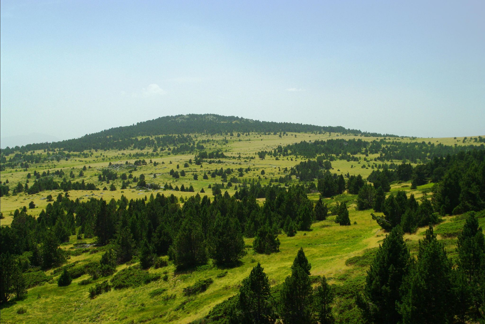
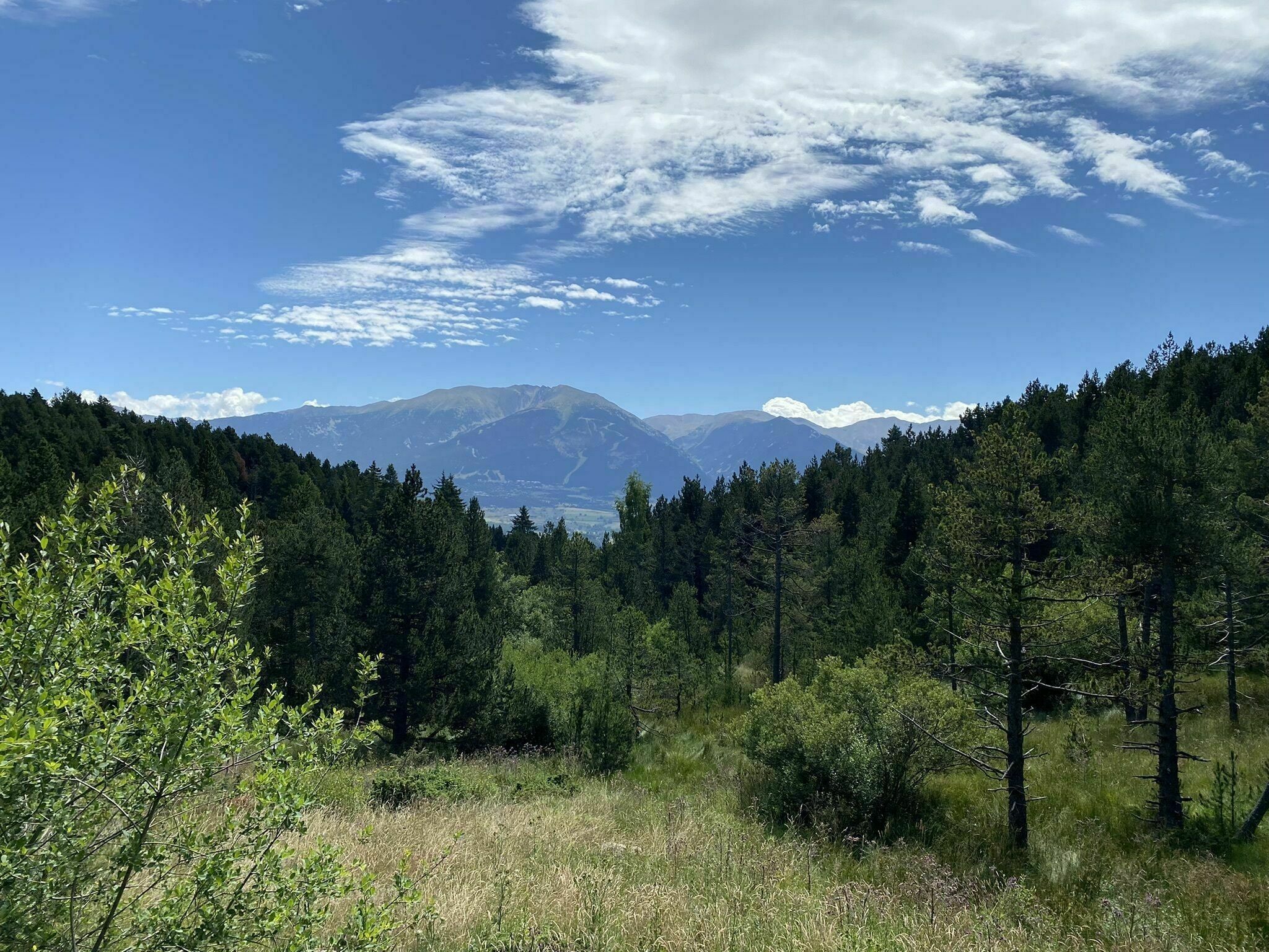
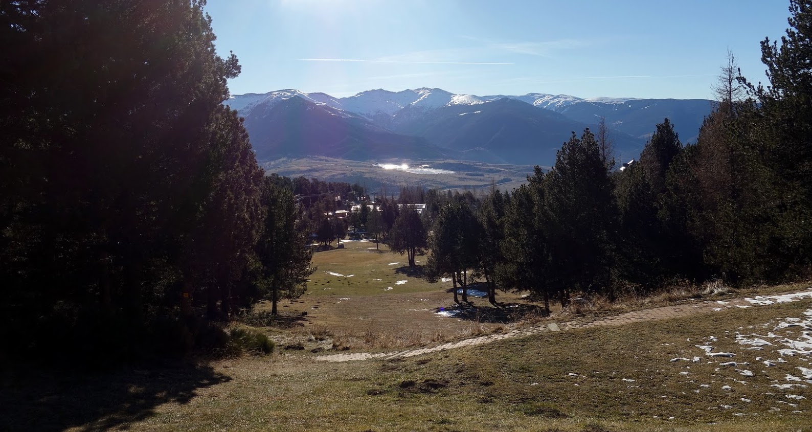
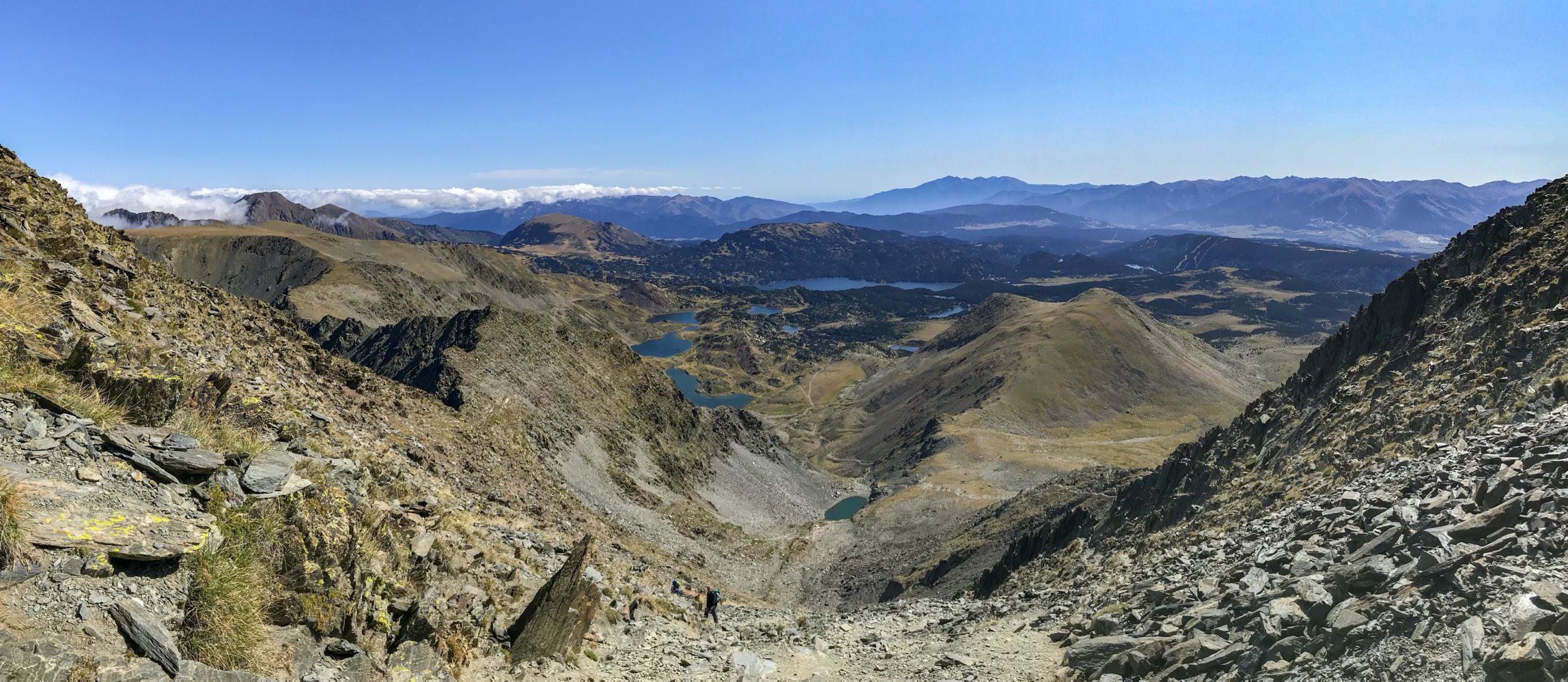
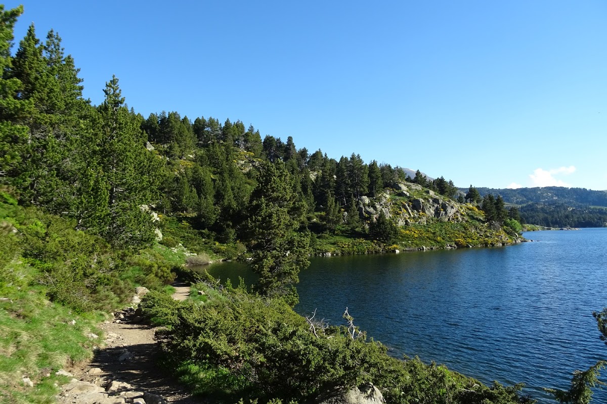
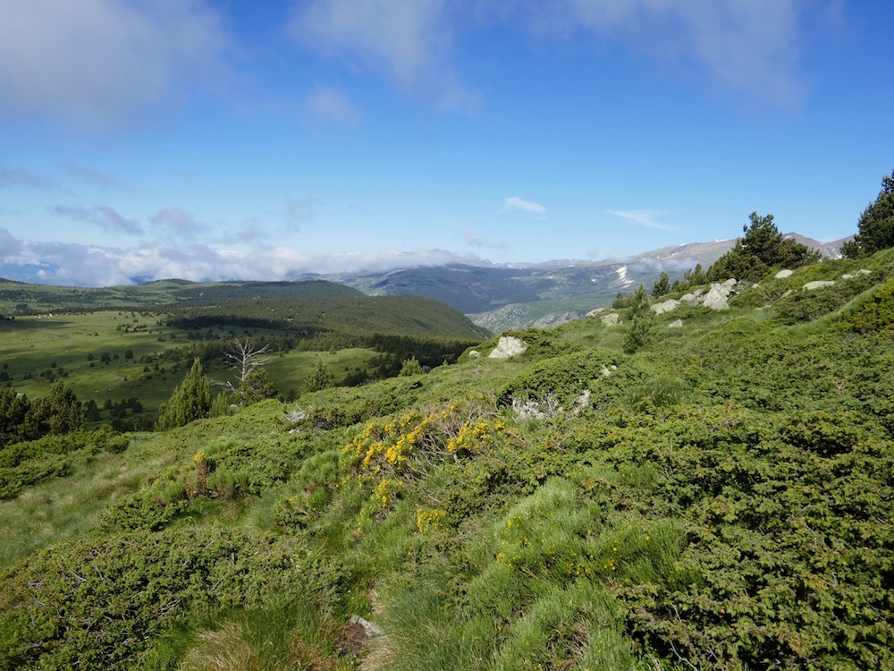
This hike crosses part of the Airelle ski area, then passes by the Pradeilles pond before reaching the Calma peak, culminating at 2,206 meters. At the top, the 360° view is extraordinary.
For those with a sweet tooth, the Bistrot de la Calme is located along the return route.

Already more than 200,000 users!
Uphill
403m
Highest point
2212m
Downhill
403m
Lowest point
1896m
Route type
Loop
Download the map on your smartphone to save battery and rest assured to always keep access to the route, even without signal.
Includes IGN France and Swisstopo.
I indicate whether dogs are allowed or prohibited on this trail
From May to September
1 rating
Also enjoy:

Already more than 200,000 users!