Uphill
465m
France > Occitanie > Pyrénées-Orientales > Catalan Pyrenees Regional Natural Park
Length
12km
Duration
4h30min
Elev gain
465m
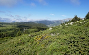
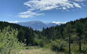
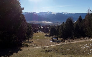
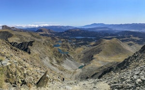
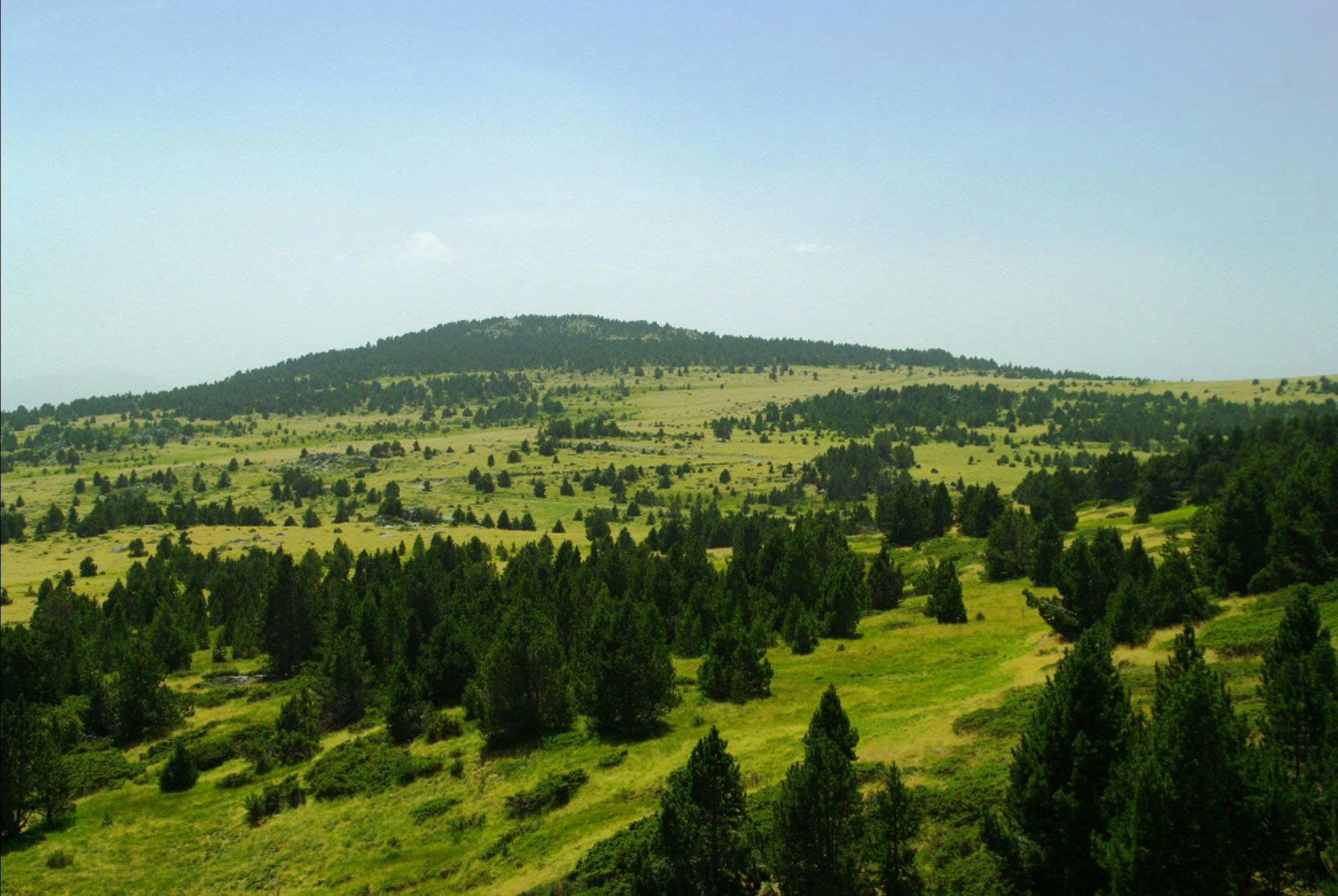
This is a nice hike that leads to the Pic dels Moros (2,138m), and goes around it. At the top, the view is magnificent. The return path crosses the Targasona before reaching the starting point.

Already more than 200,000 users!
Uphill
465m
Highest point
2133m
Downhill
465m
Lowest point
1728m
Route type
Loop
Download the map on your smartphone to save battery and rest assured to always keep access to the route, even without signal.
Includes IGN France and Swisstopo.
I indicate whether dogs are allowed or prohibited on this trail
From May to September
0 ratings
Also enjoy:

Already more than 200,000 users!