Uphill
140m
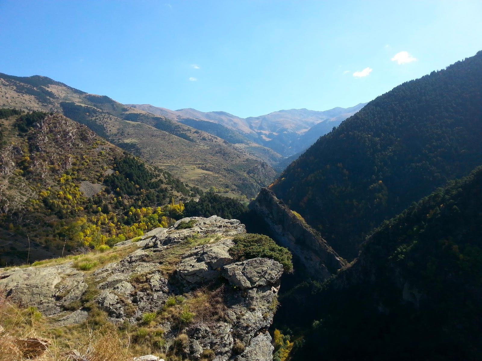
France > Occitanie > Pyrénées-Orientales > Catalan Pyrenees Regional Natural Park
Length
5km
Duration
1h30min
Elev gain
140m
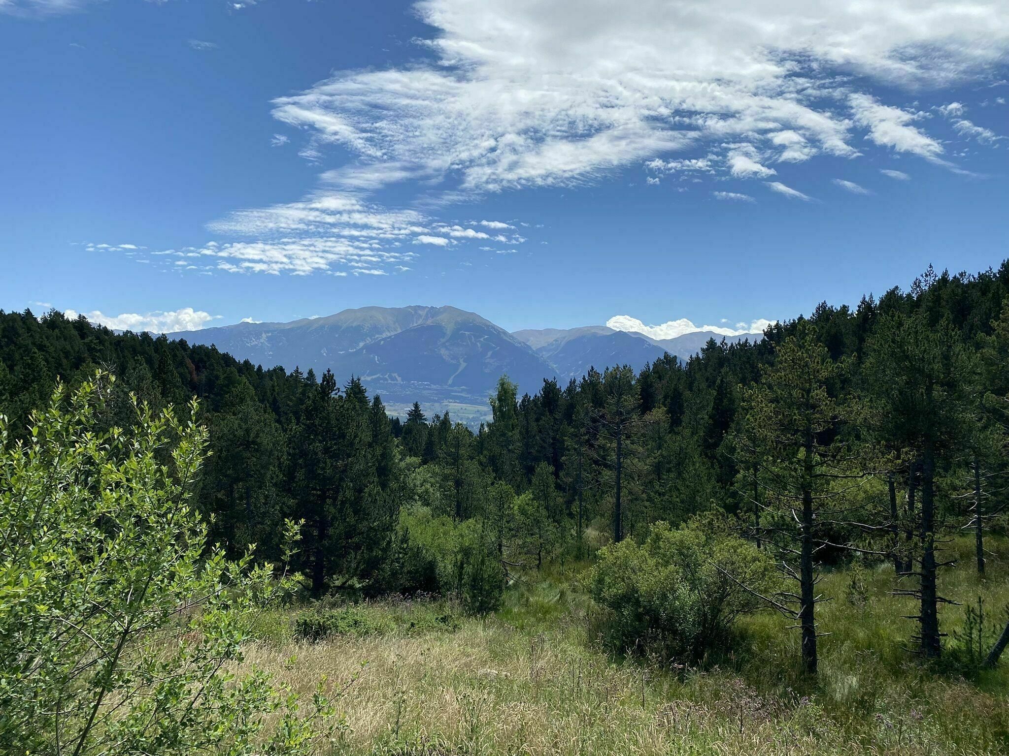
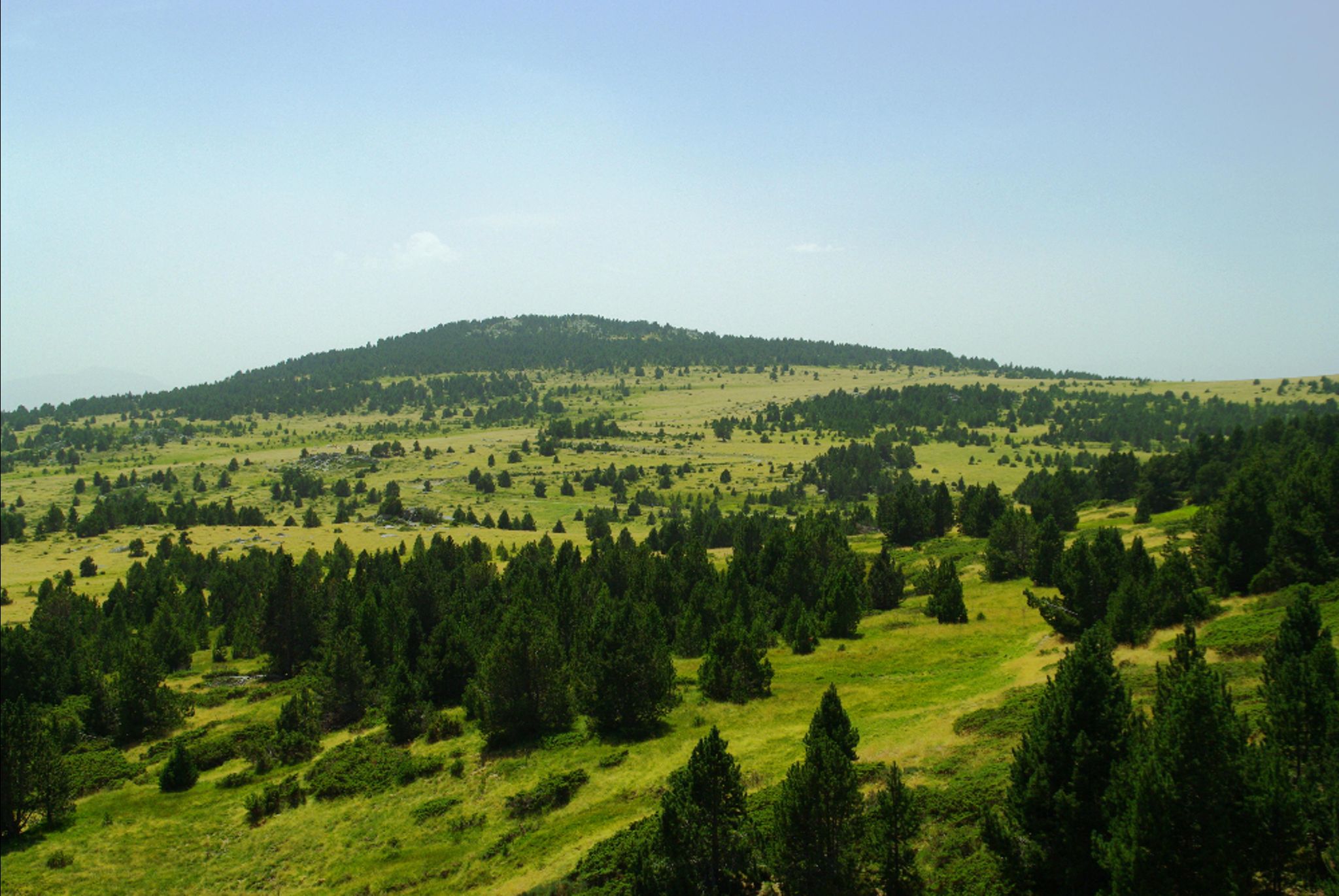
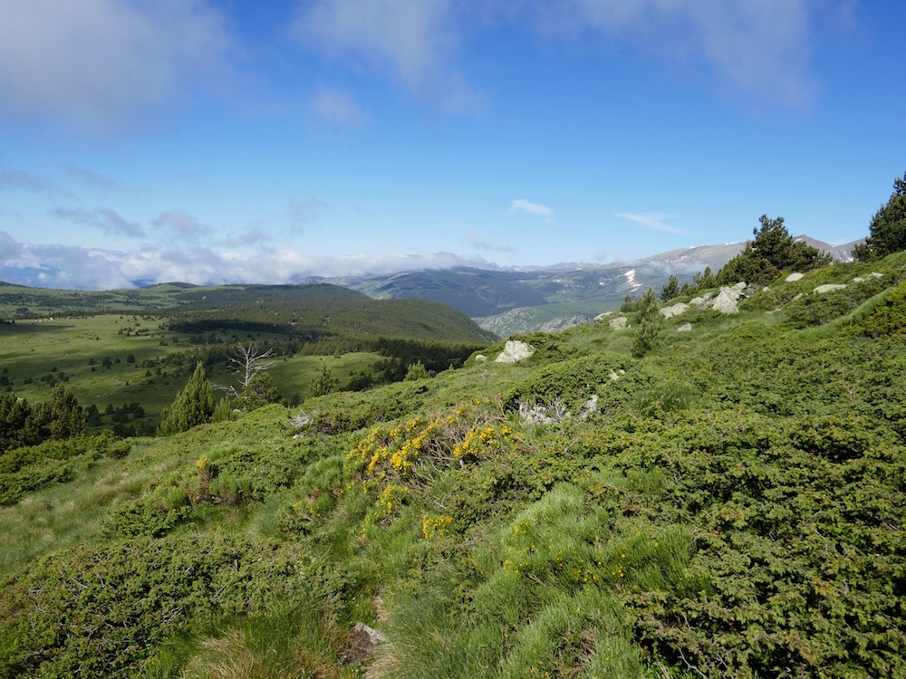
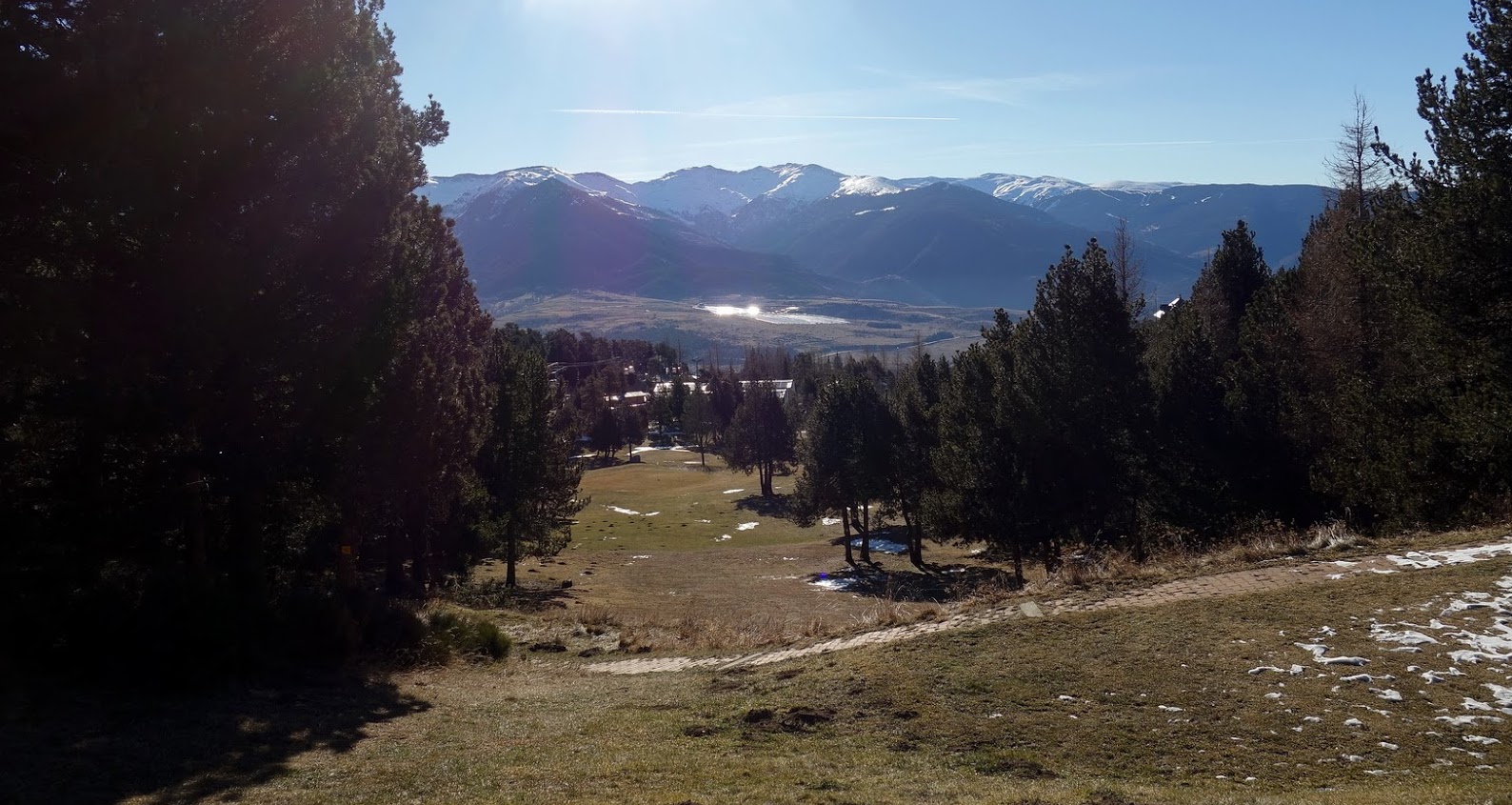
Walk on a forest path located on the heights of Font-Romeu, offering pretty views of the surroundings.
After going around the municipal golf course, the path passes near the Pierre Coubertin high school. The return passes through the Notre-Dame de Font-Romeu hermitage, listed as a historical monument in 1999, before returning to the starting point.

Already more than 200,000 users!
Uphill
140m
Highest point
1863m
Downhill
140m
Lowest point
1758m
Route type
Loop
Download the map on your smartphone to save battery and rest assured to always keep access to the route, even without signal.
Includes IGN France and Swisstopo.
I indicate whether dogs are allowed or prohibited on this trail
From May to October
0 ratings
Also enjoy:

Already more than 200,000 users!