Uphill
1286m
France > Occitanie > Pyrénées-Orientales > Catalan Pyrenees Regional Natural Park
Length
20km
Duration
9h30min
Elev gain
1286m
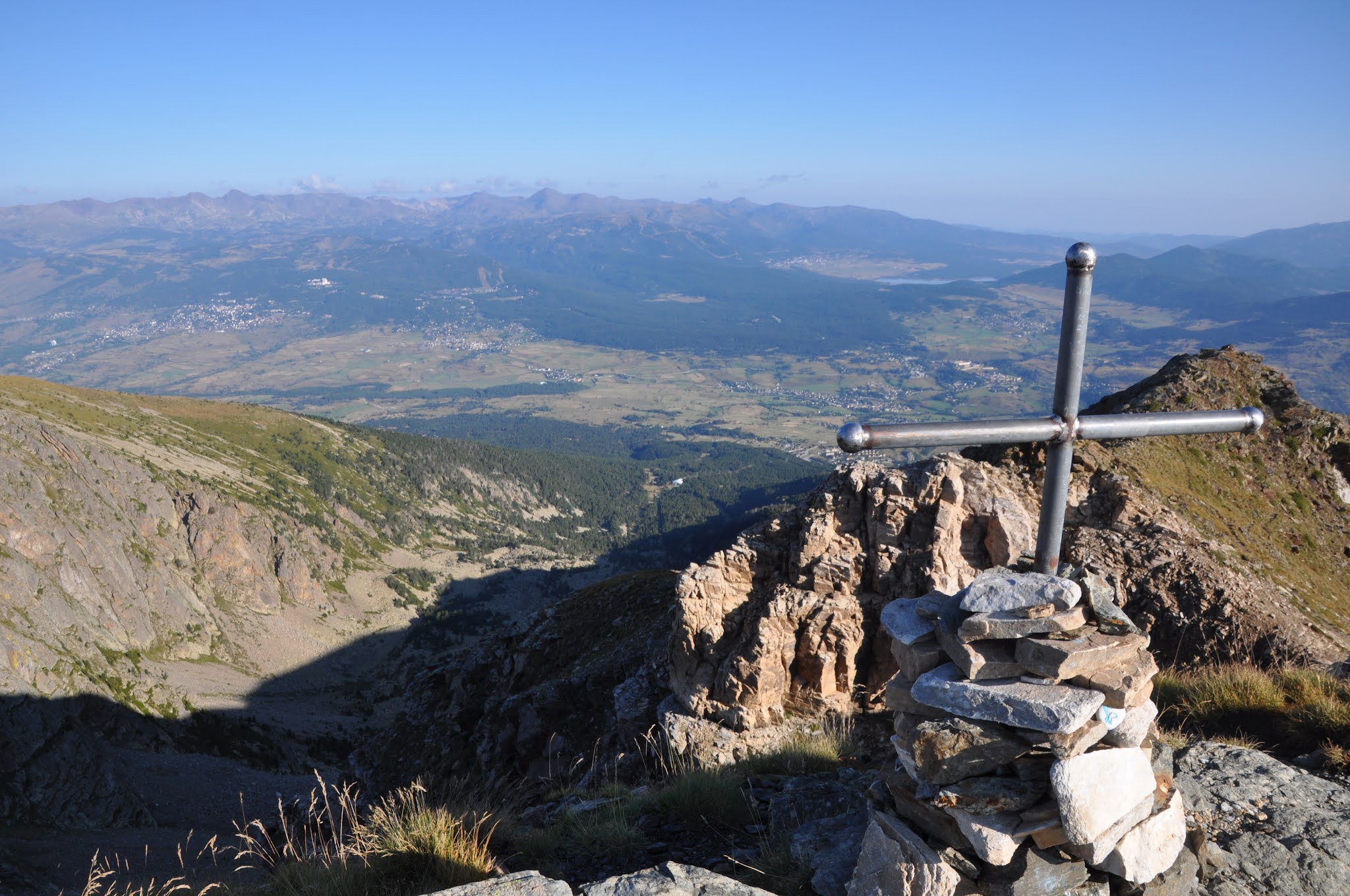
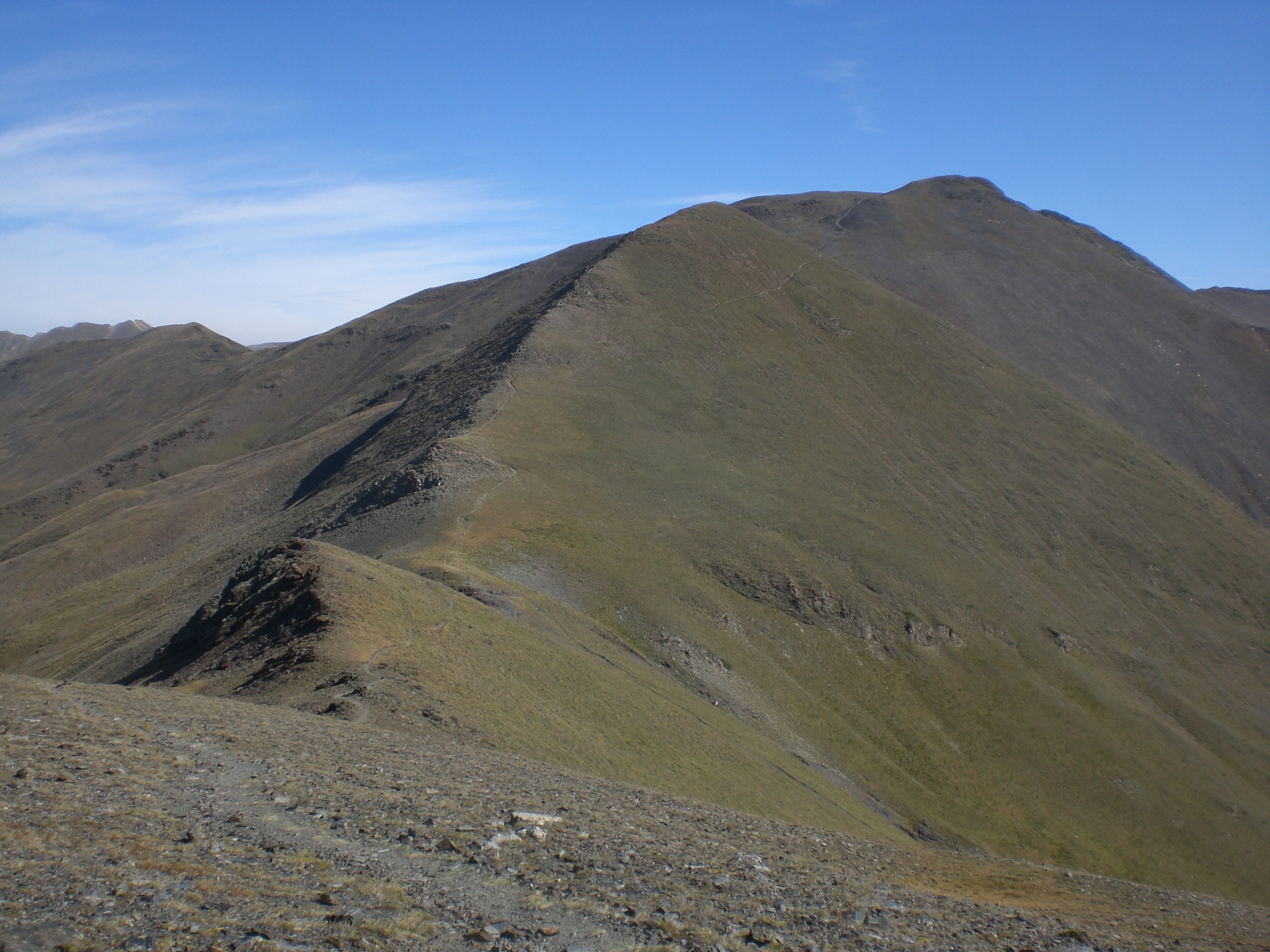
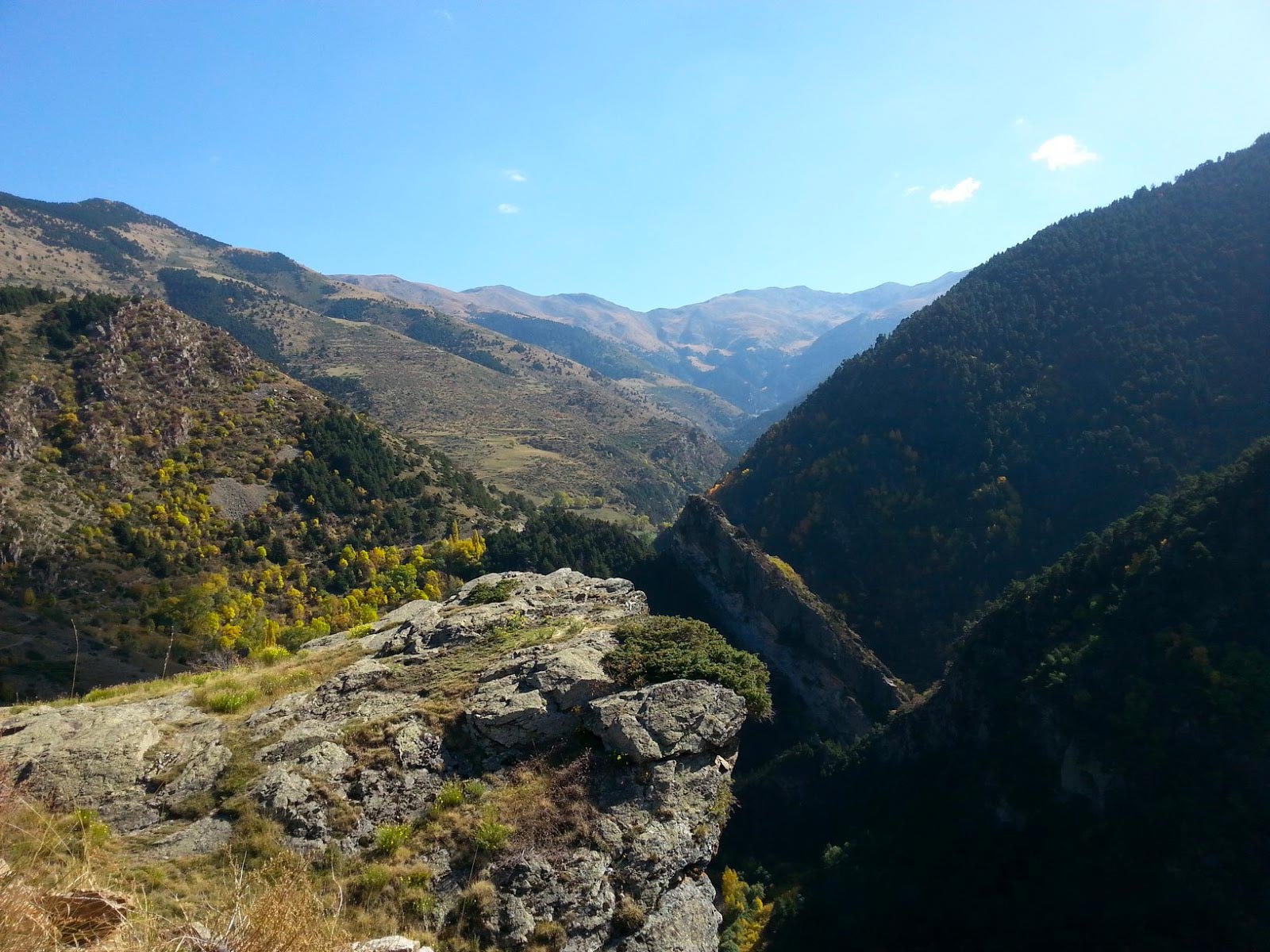
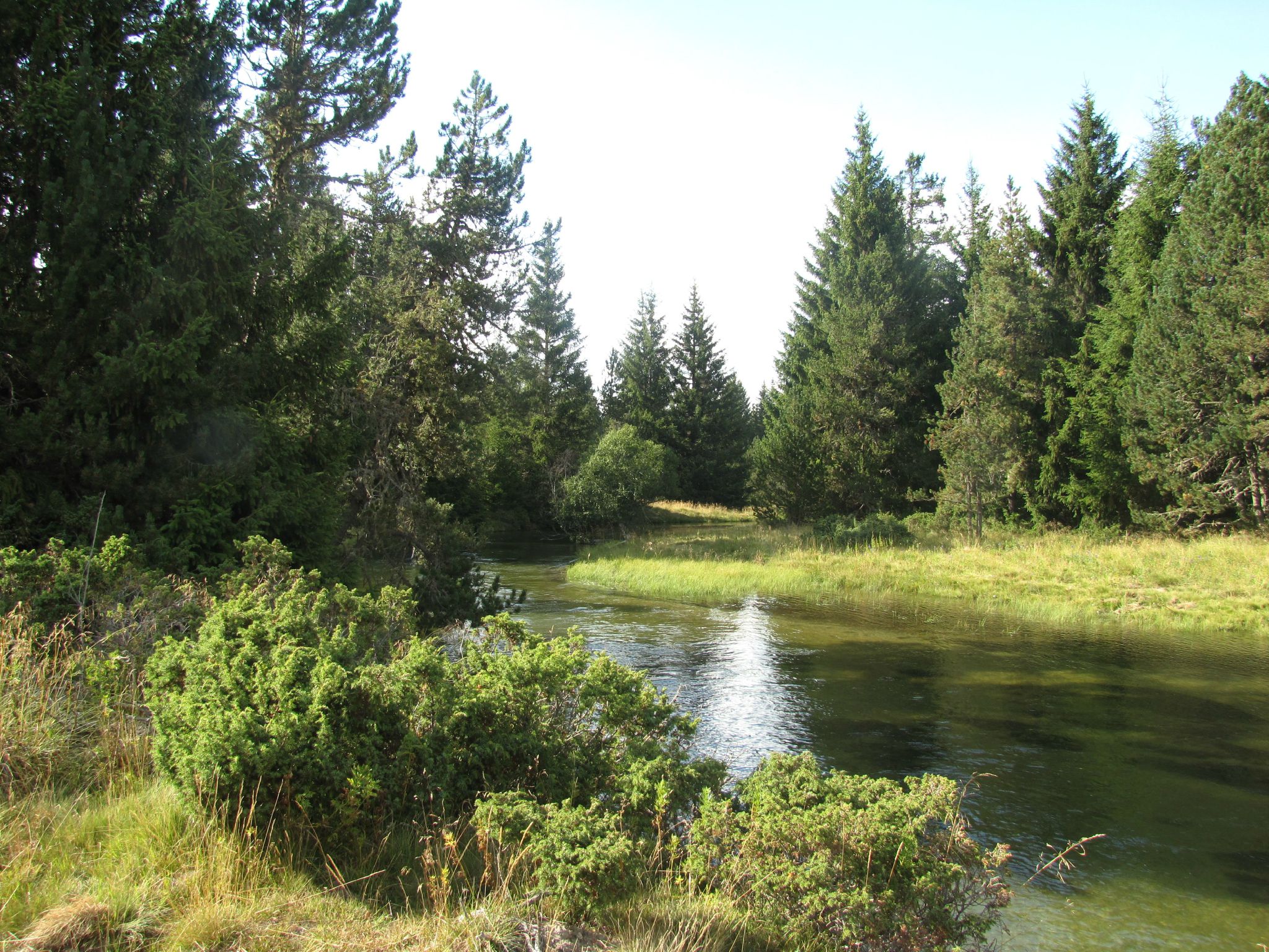
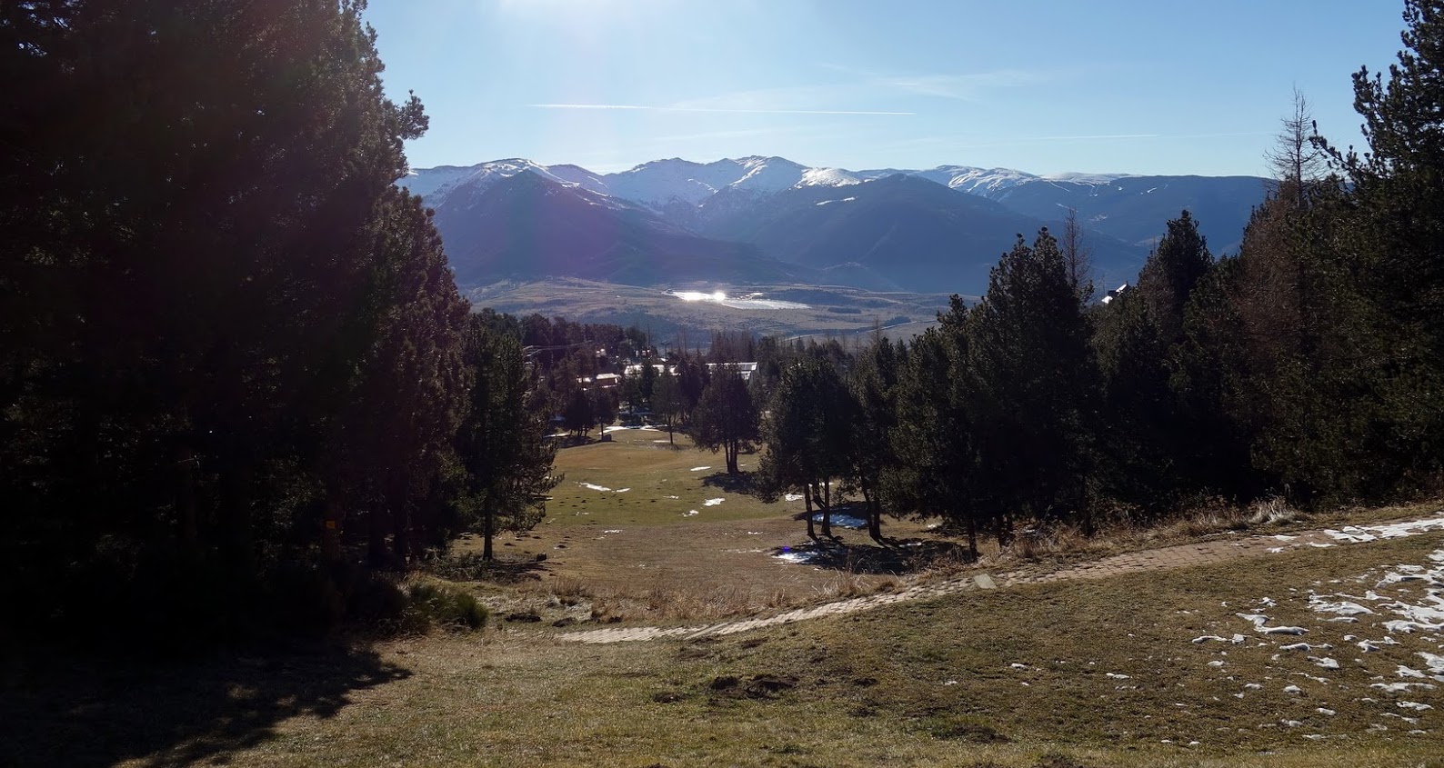
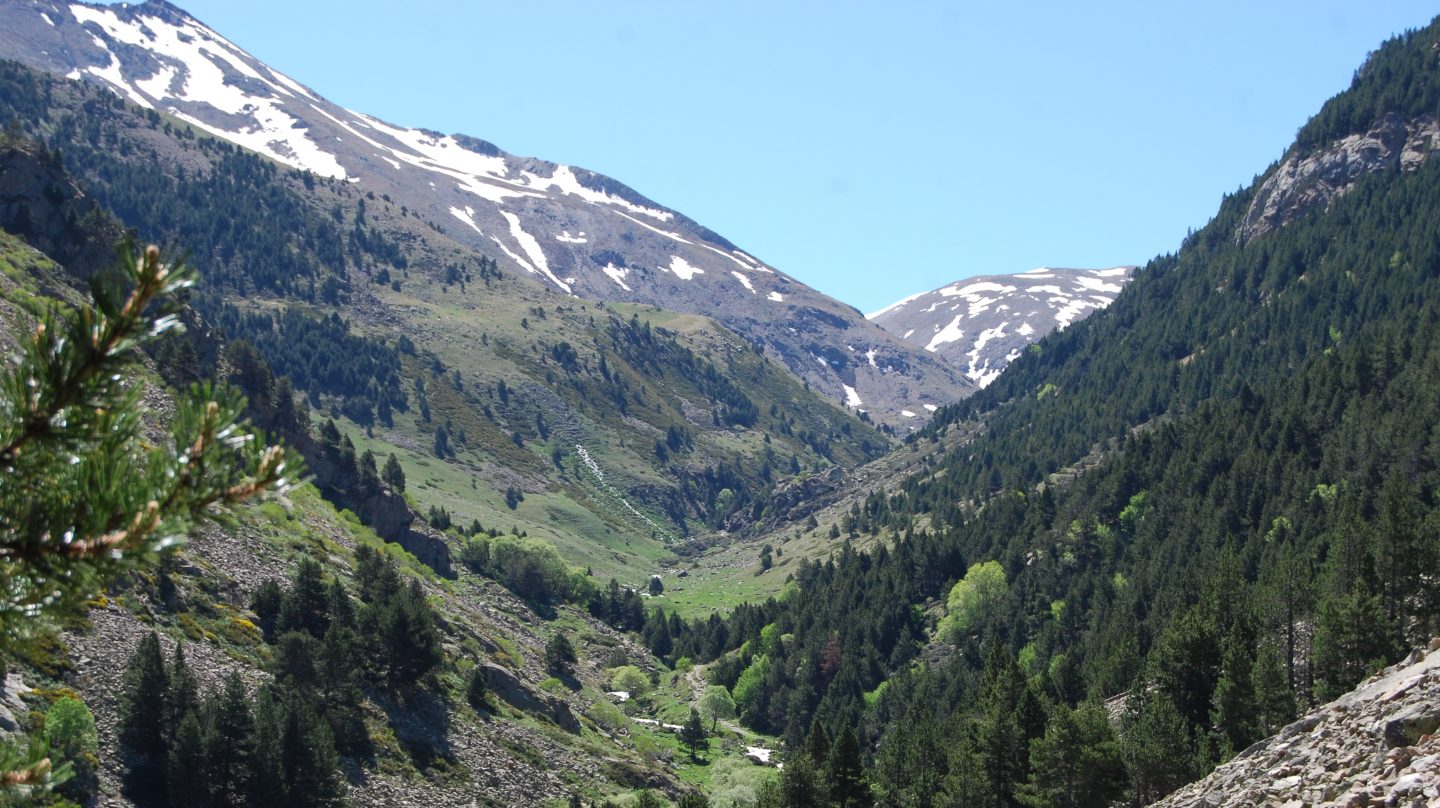
There and back trail in the Eyne valley, rated as a national nature reserve, which presents an abundant flora and fauna.
The peaks of Eyne and Núria offer a superb panorama of the Pyrenees on the Spanish border.

Already more than 200,000 users!
Uphill
1286m
Highest point
2787m
Downhill
1286m
Lowest point
1588m
Route type
There and back
Download the map on your smartphone to save battery and rest assured to always keep access to the route, even without signal.
Includes IGN France and Swisstopo.
I indicate whether dogs are allowed or prohibited on this trail
From June to September
1 rating
Also enjoy:

Already more than 200,000 users!