Uphill
1369m
France > Occitanie > Pyrénées-Orientales > Catalan Pyrenees Regional Natural Park
Length
19km
Duration
9h30min
Elev gain
1369m
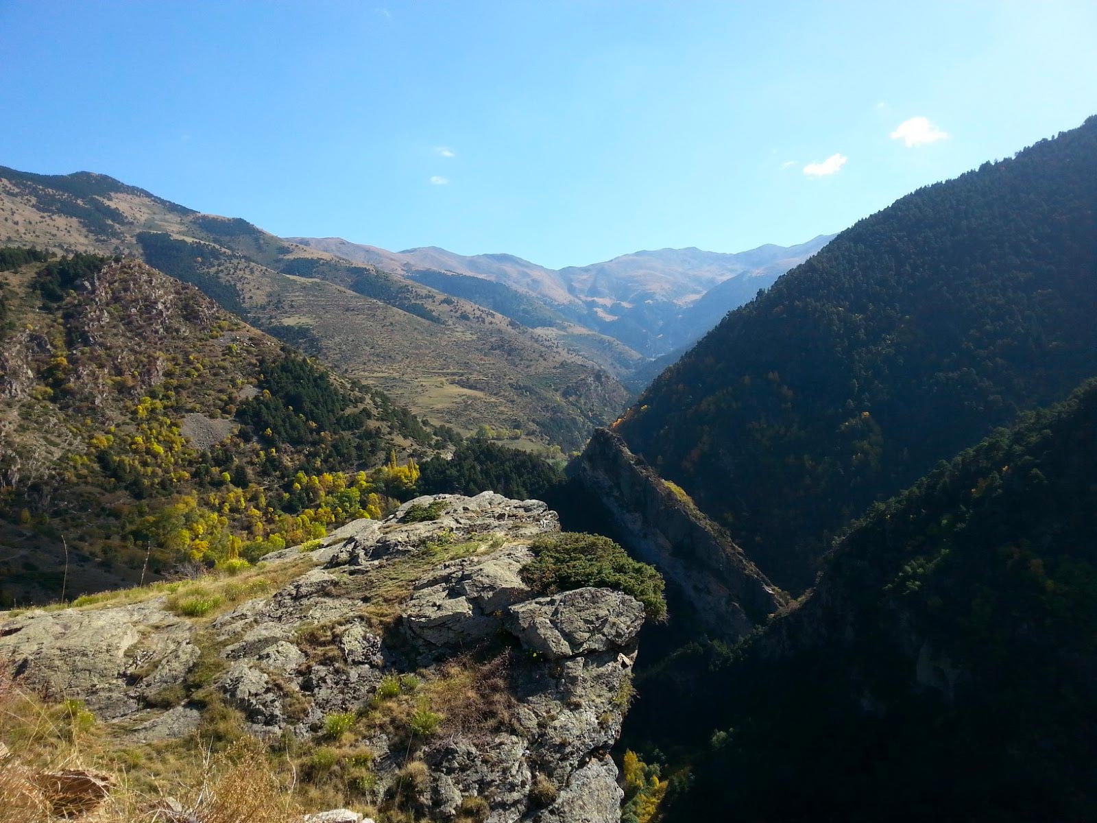
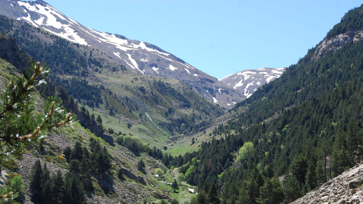
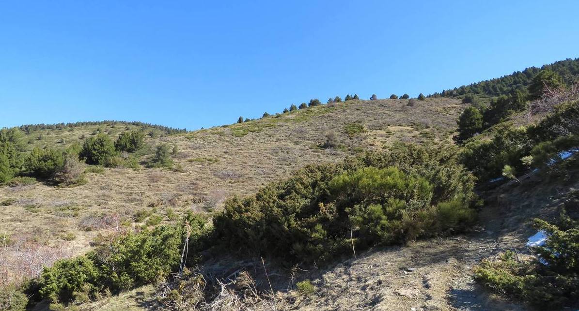
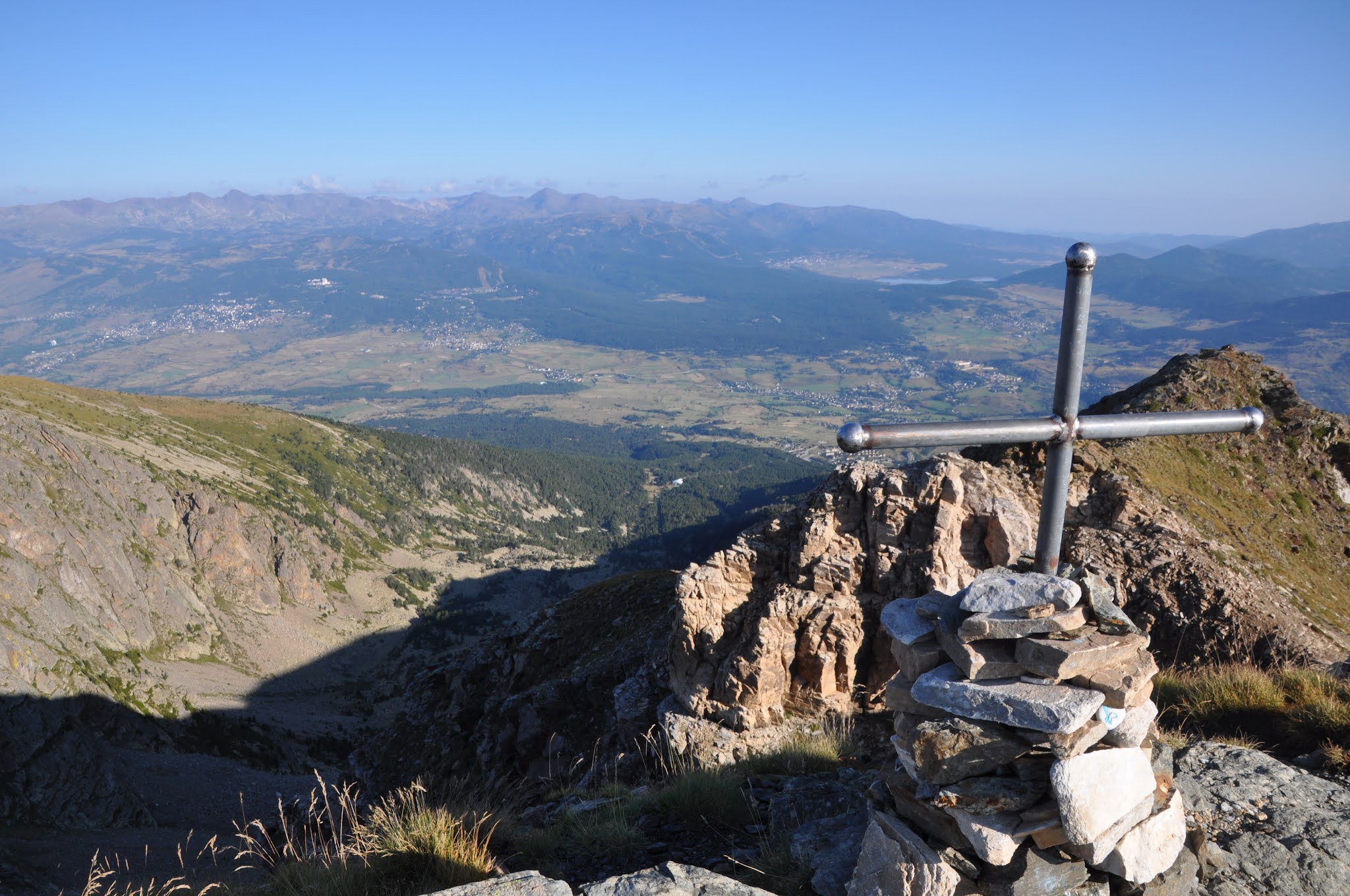
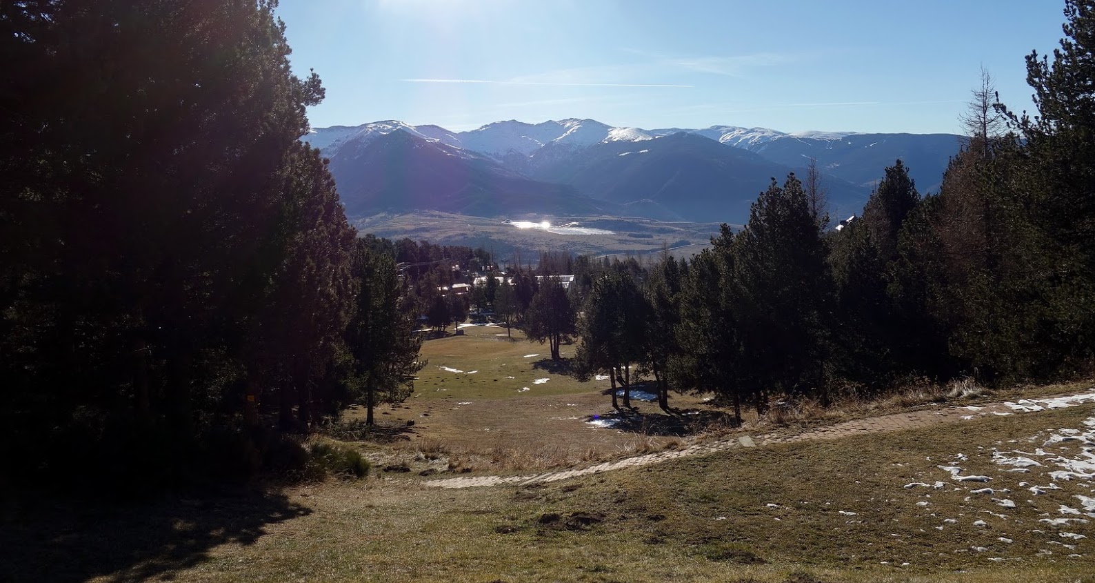
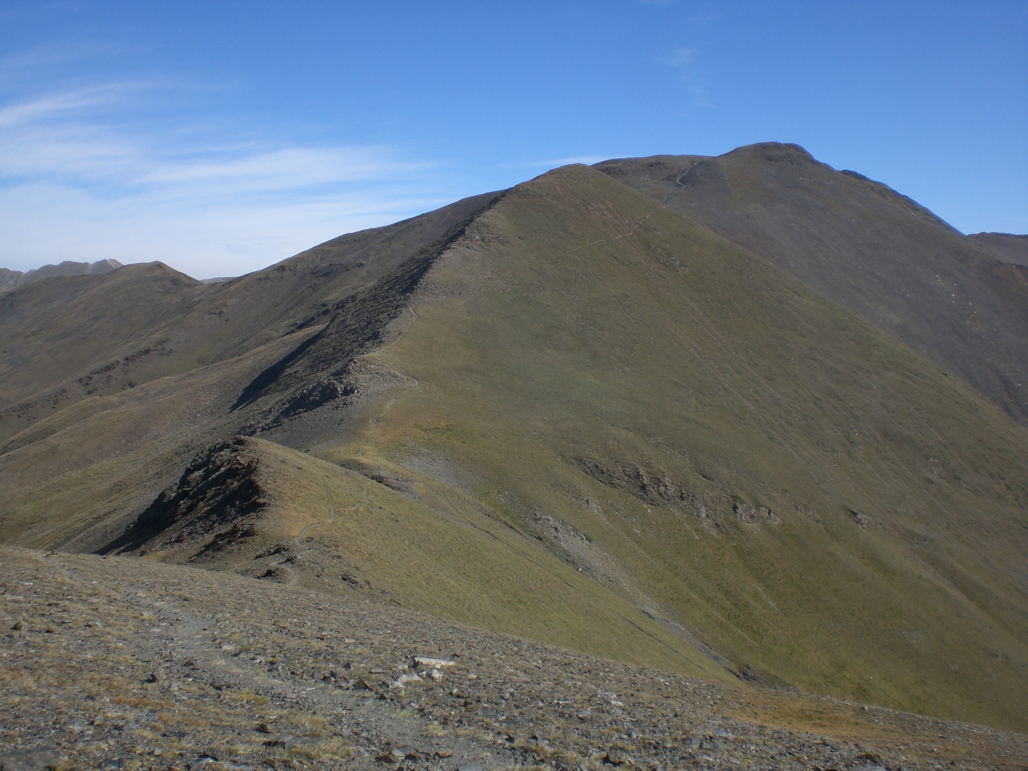
Superb hike that goes up to the Coll de Finestrelles. On the outward journey, the path runs along the Sègre and passes very close to Castell Vidre (1,629m), then leads to the Coll de Finestrelles (2,605m). At the top, the panoramic view is magnificent. The return path passes next to the tossa d'Err.
Note that this route is technical and physical.

Already more than 200,000 users!
Uphill
1369m
Highest point
2602m
Downhill
1369m
Lowest point
1380m
Route type
Loop
Download the map on your smartphone to save battery and rest assured to always keep access to the route, even without signal.
Includes IGN France and Swisstopo.
I indicate whether dogs are allowed or prohibited on this trail
From June to September
0 ratings
Also enjoy:

Already more than 200,000 users!