Uphill
945m
France > Occitanie > Pyrénées-Orientales > Catalan Pyrenees Regional Natural Park
Length
10km
Duration
6h30min
Elev gain
945m
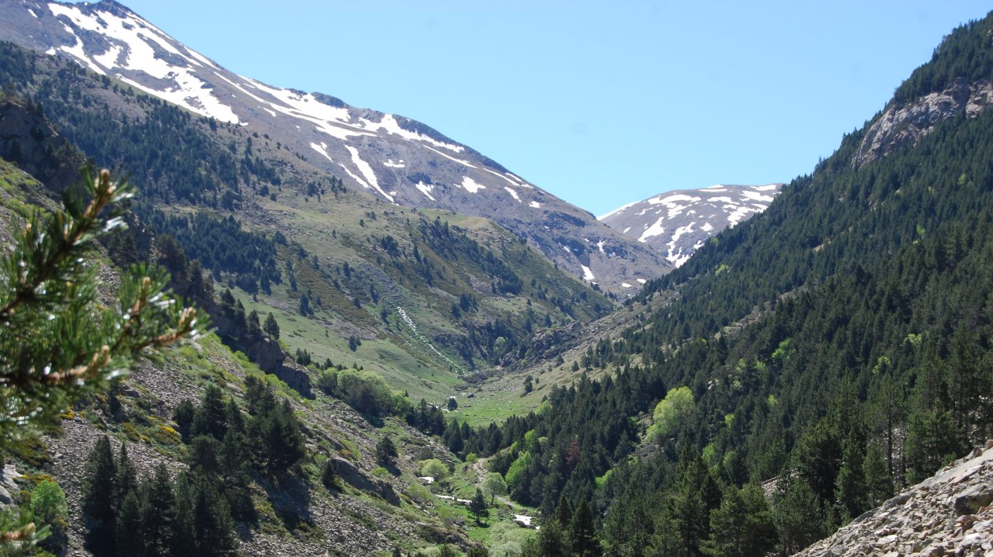
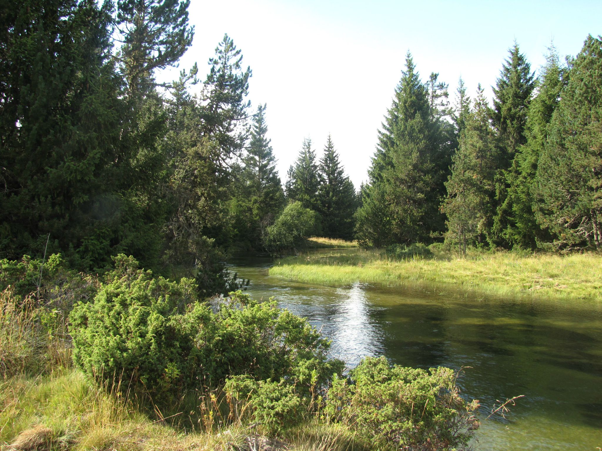
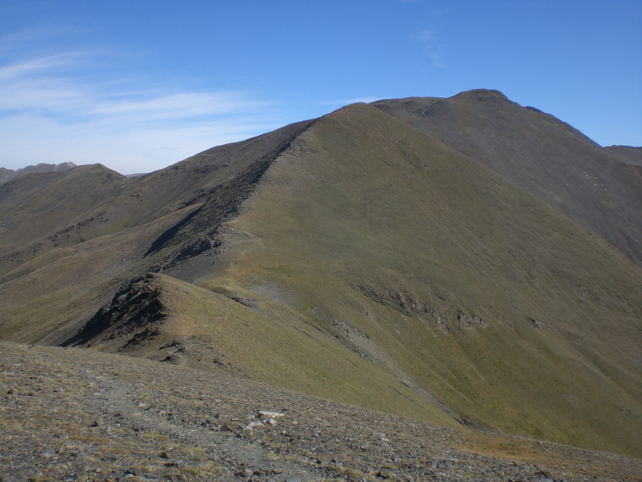
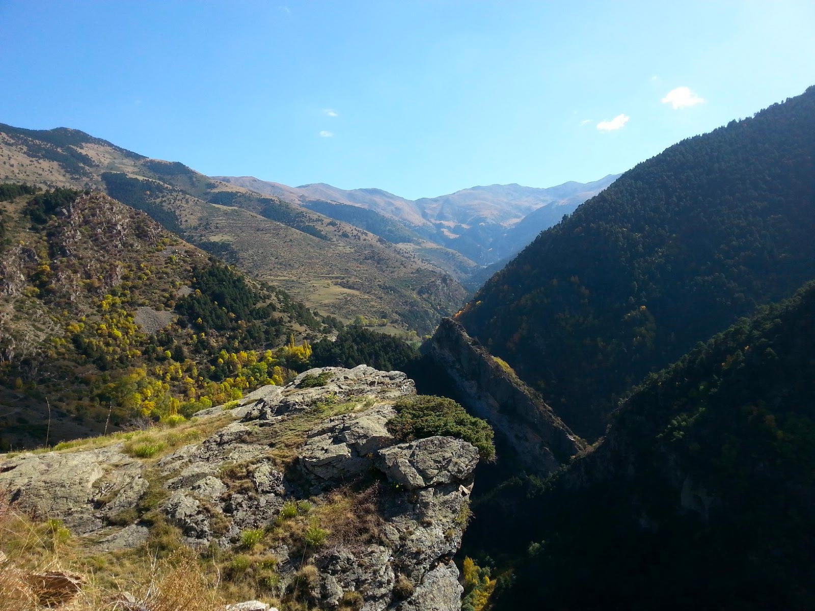
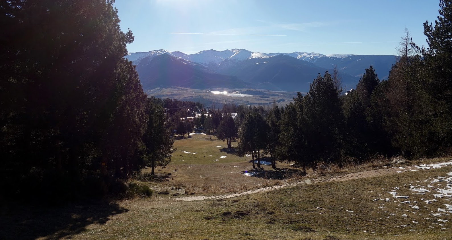
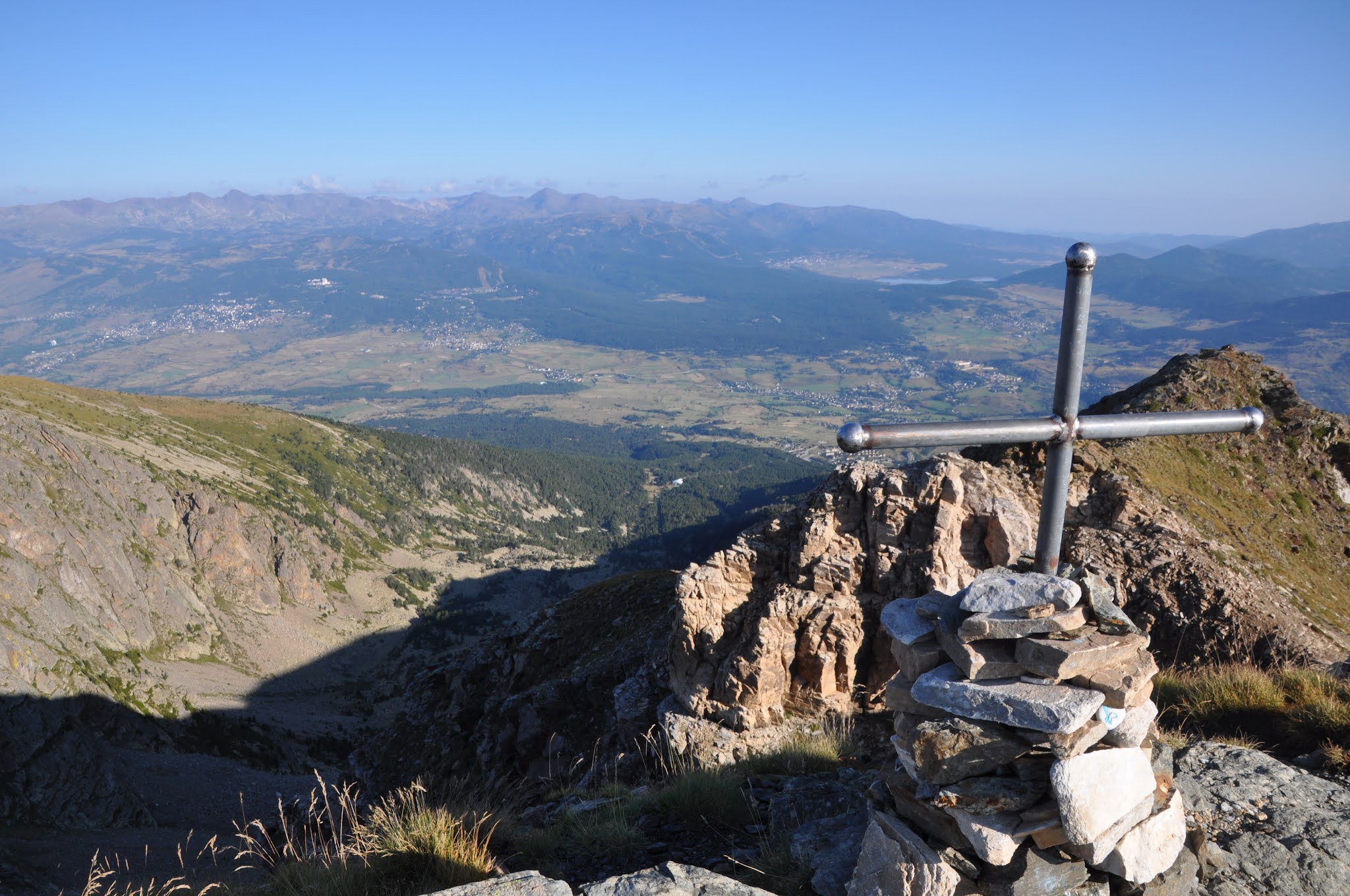
Here is a sporty hike with magnificent views. The climb is in the forest before emerging at the Cambre d'Aze. Up there, at 2,711 meters above sea level, the view is spectacular. The return via the track is steep and technical.
It is possible to see izards during this hike.

Already more than 200,000 users!
Uphill
945m
Highest point
2727m
Downhill
945m
Lowest point
1788m
Route type
Loop
Download the map on your smartphone to save battery and rest assured to always keep access to the route, even without signal.
Includes IGN France and Swisstopo.
I indicate whether dogs are allowed or prohibited on this trail
From June to September
1 rating
Also enjoy:

Already more than 200,000 users!