Uphill
86m
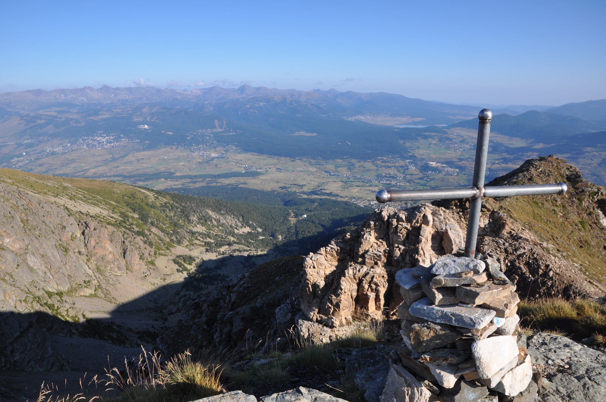
France > Occitanie > Pyrénées-Orientales > Catalan Pyrenees Regional Natural Park
Length
8km
Duration
2h
Elev gain
86m
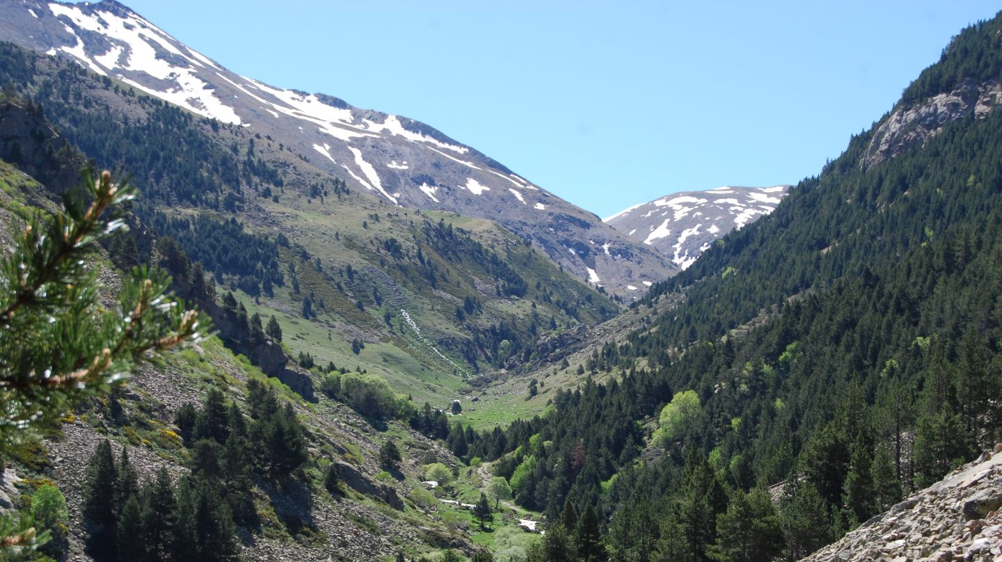
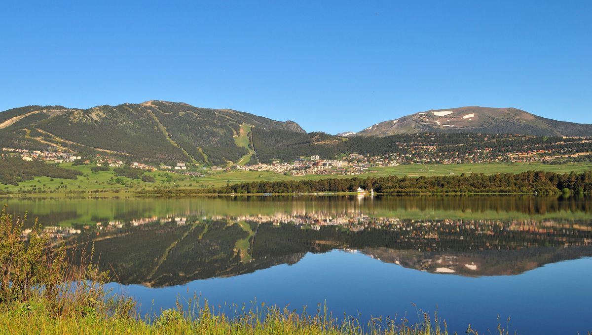
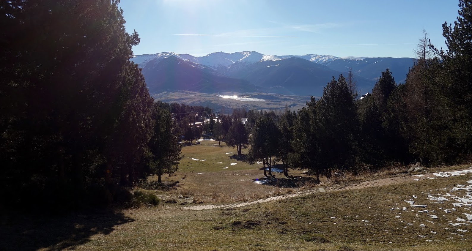
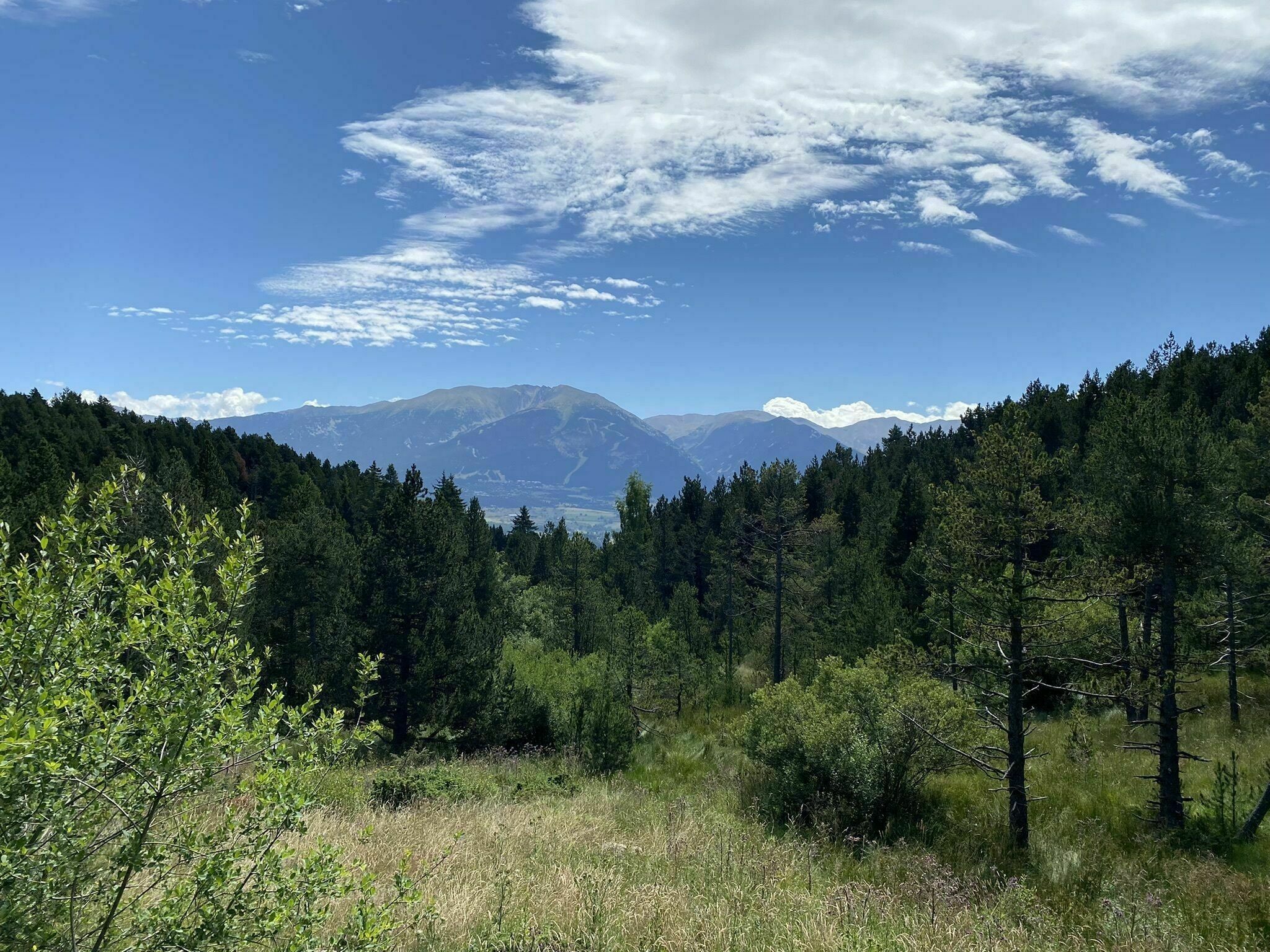
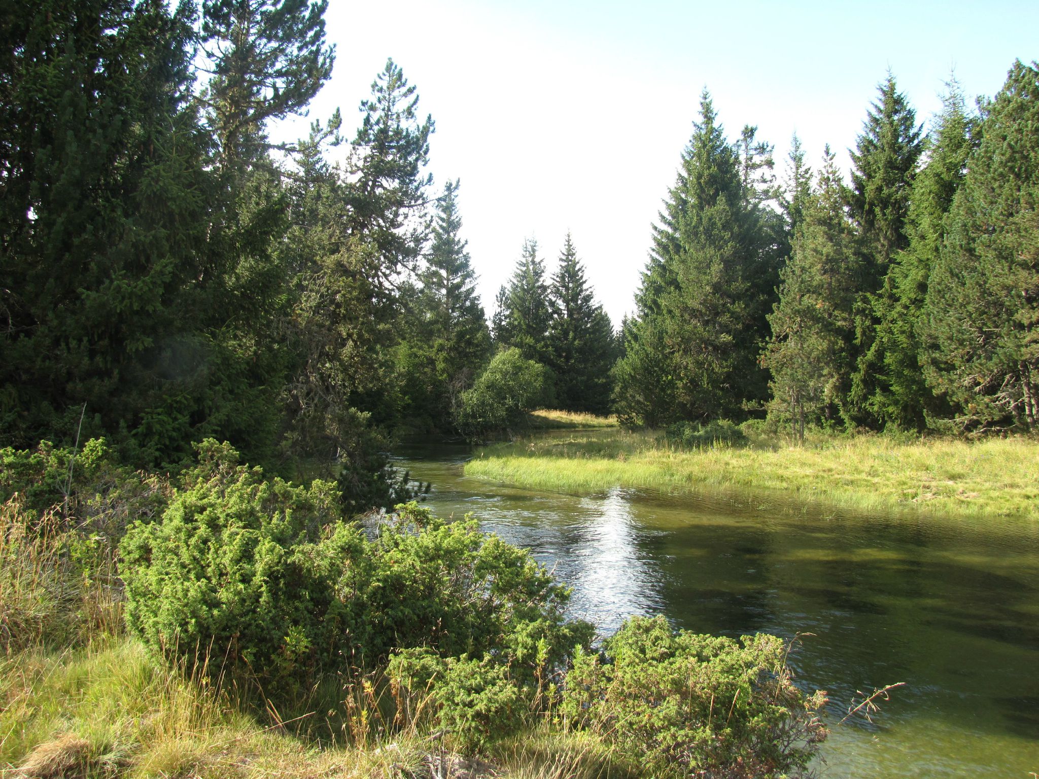
Leaving from Mont-Louis, this trail winds through the Têt valley, in the heart of magnificent natural landscapes.
The trail runs along a river surrounded by meadows and a forest, and it is possible to come across cows and horses roaming free.
An ideal hike for the whole family.

Already more than 200,000 users!
Uphill
86m
Highest point
1677m
Downhill
86m
Lowest point
1629m
Route type
Loop
Download the map on your smartphone to save battery and rest assured to always keep access to the route, even without signal.
Includes IGN France and Swisstopo.
I indicate whether dogs are allowed or prohibited on this trail
From May to October
0 ratings
Also enjoy:

Already more than 200,000 users!