Uphill
249m
France > Occitanie > Pyrénées-Orientales > Catalan Pyrenees Regional Natural Park
Length
6km
Duration
2h
Elev gain
249m
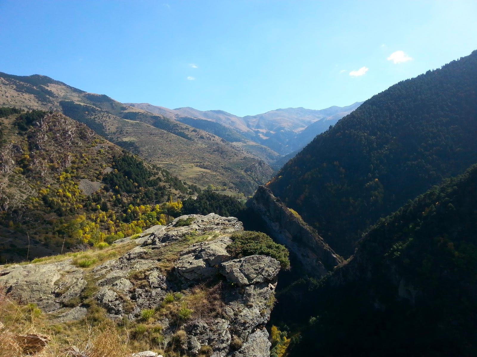
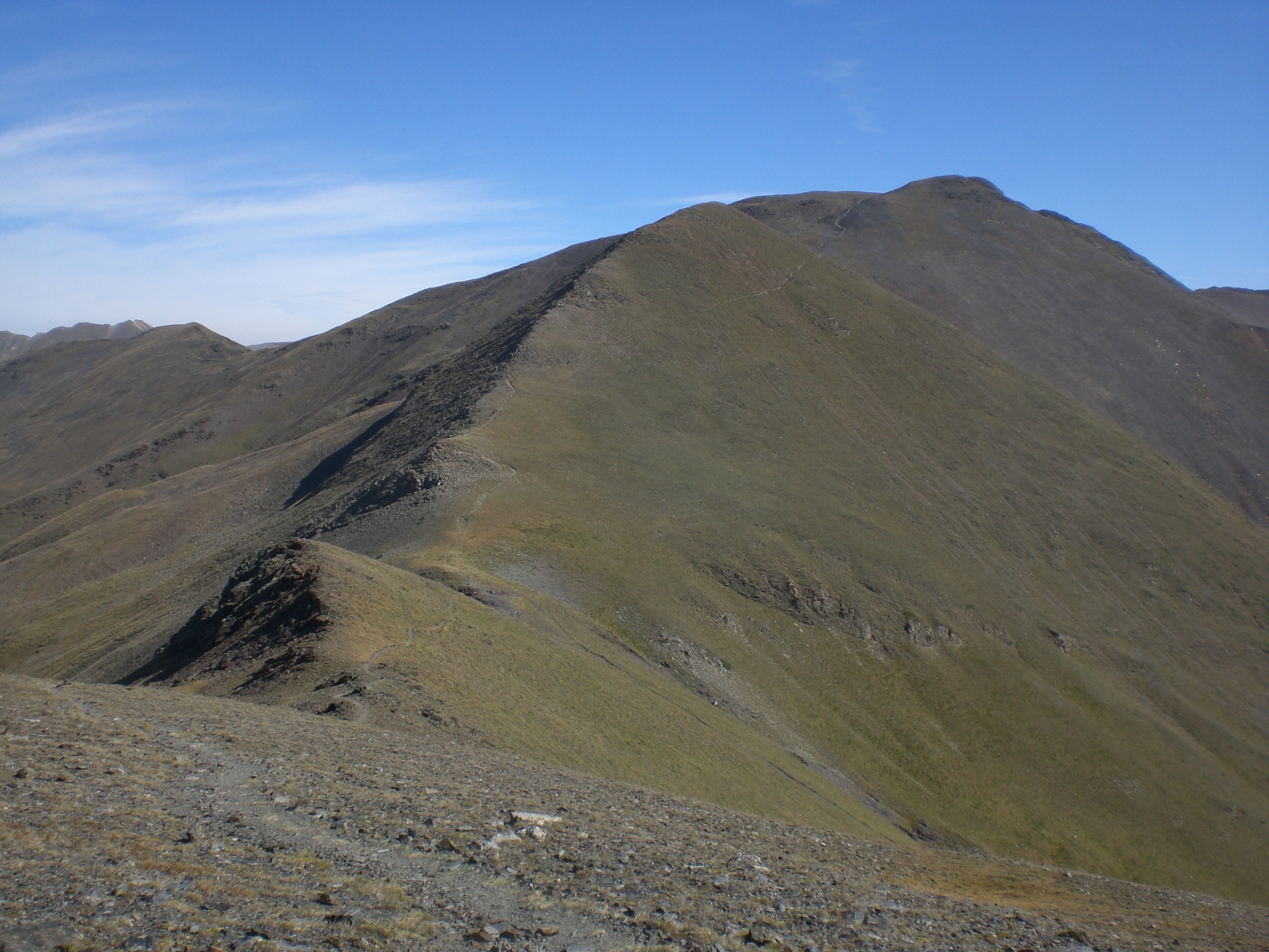
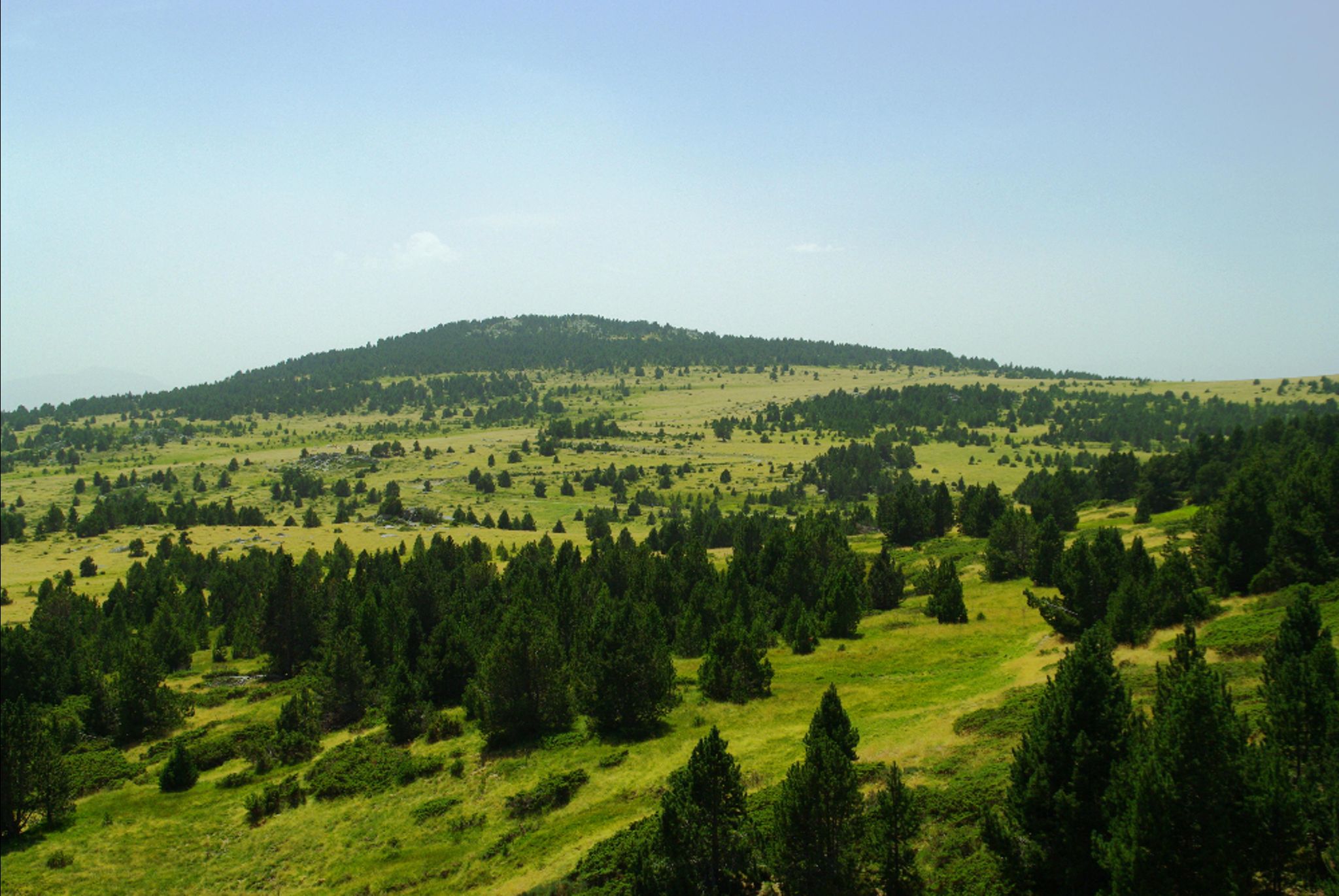
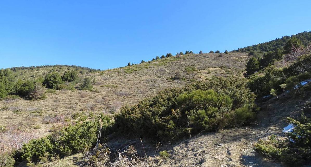
This hike leads to the Pic d'Estaques, 2,060 meters above sea level. The route is mainly through the forest before arriving at the peak. Once at the top, the view is magnificent and it is even sometimes possible to see birds of prey.

Already more than 200,000 users!
Uphill
249m
Highest point
1980m
Downhill
249m
Lowest point
1727m
Route type
Loop
Download the map on your smartphone to save battery and rest assured to always keep access to the route, even without signal.
Includes IGN France and Swisstopo.
I indicate whether dogs are allowed or prohibited on this trail
From May to October
1 rating
Also enjoy:

Already more than 200,000 users!