Uphill
245m
Length
10km
Duration
3h
Elev gain
245m
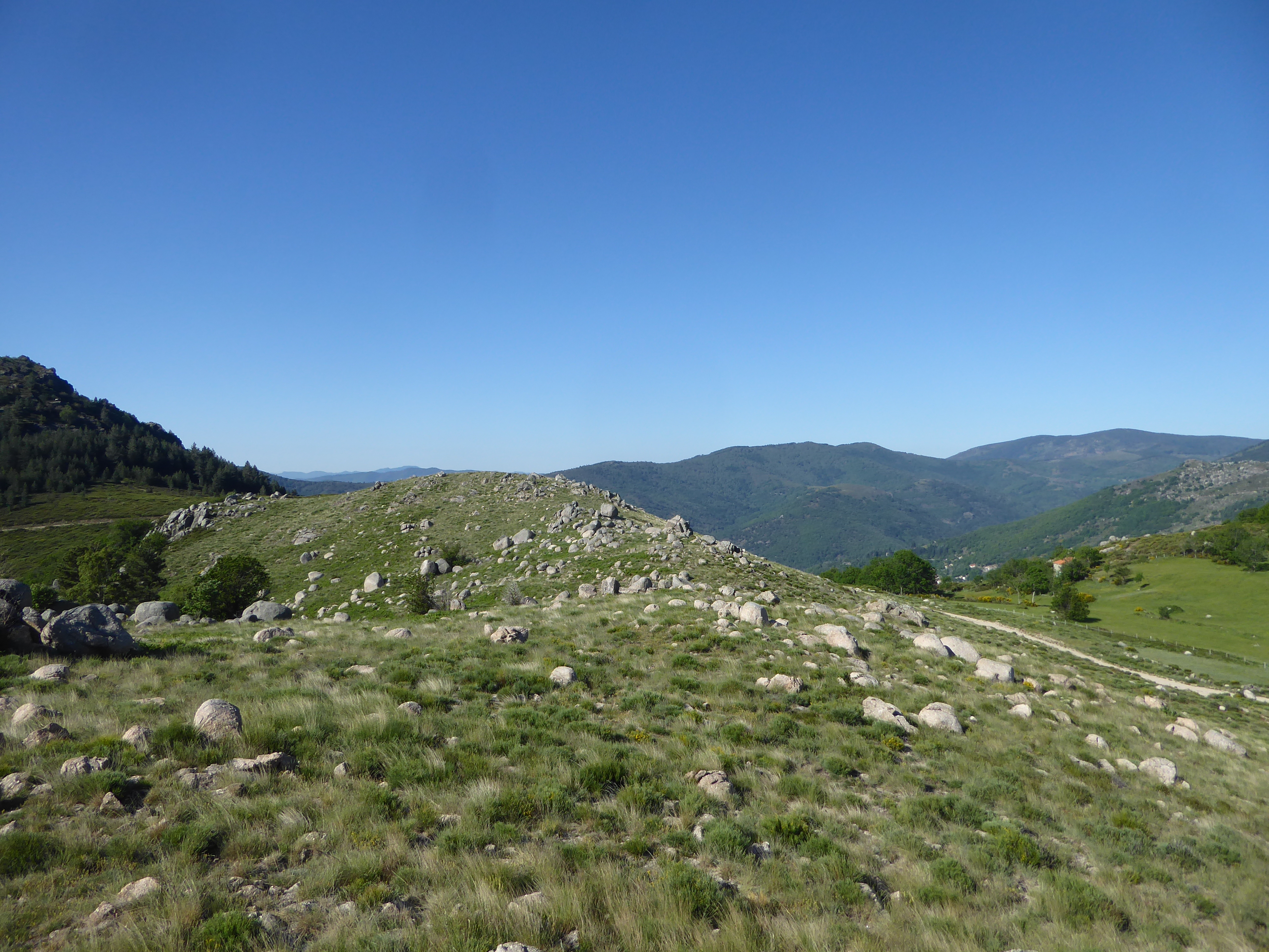
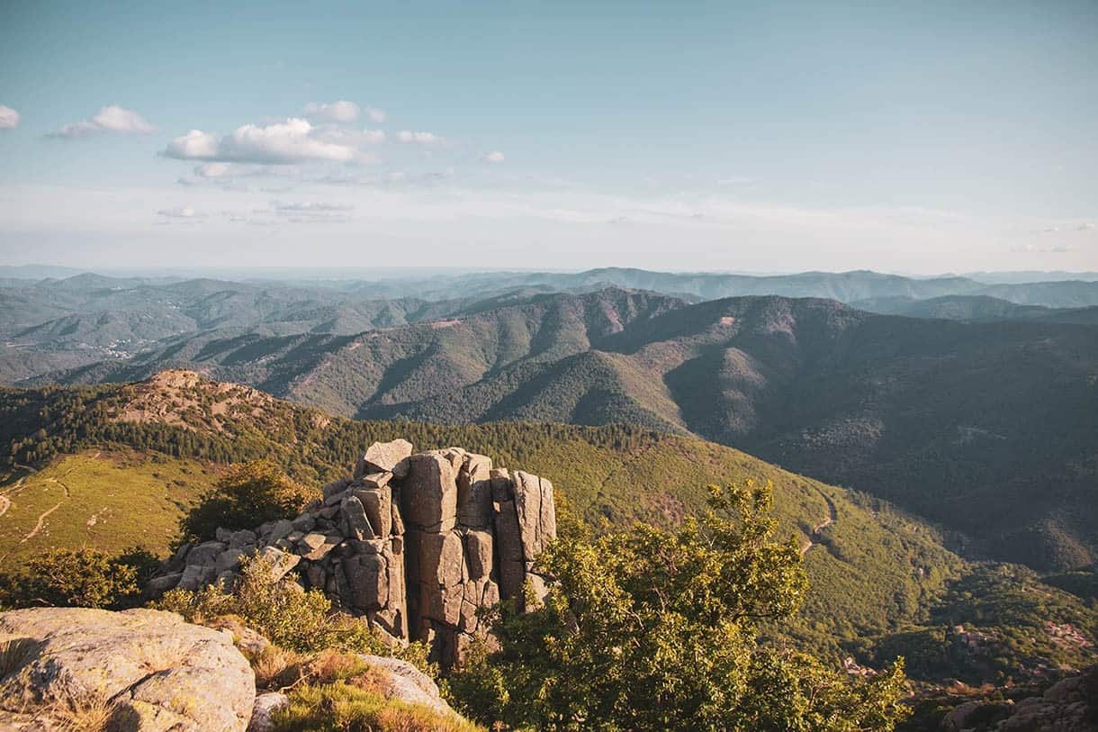
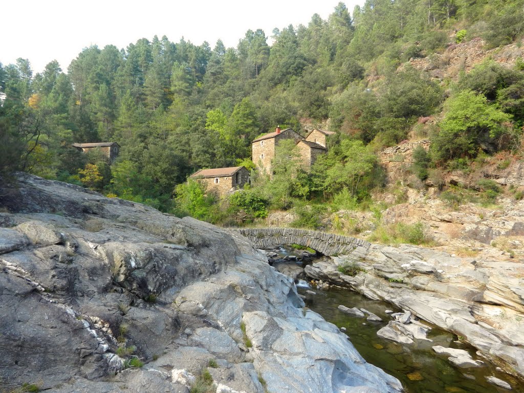
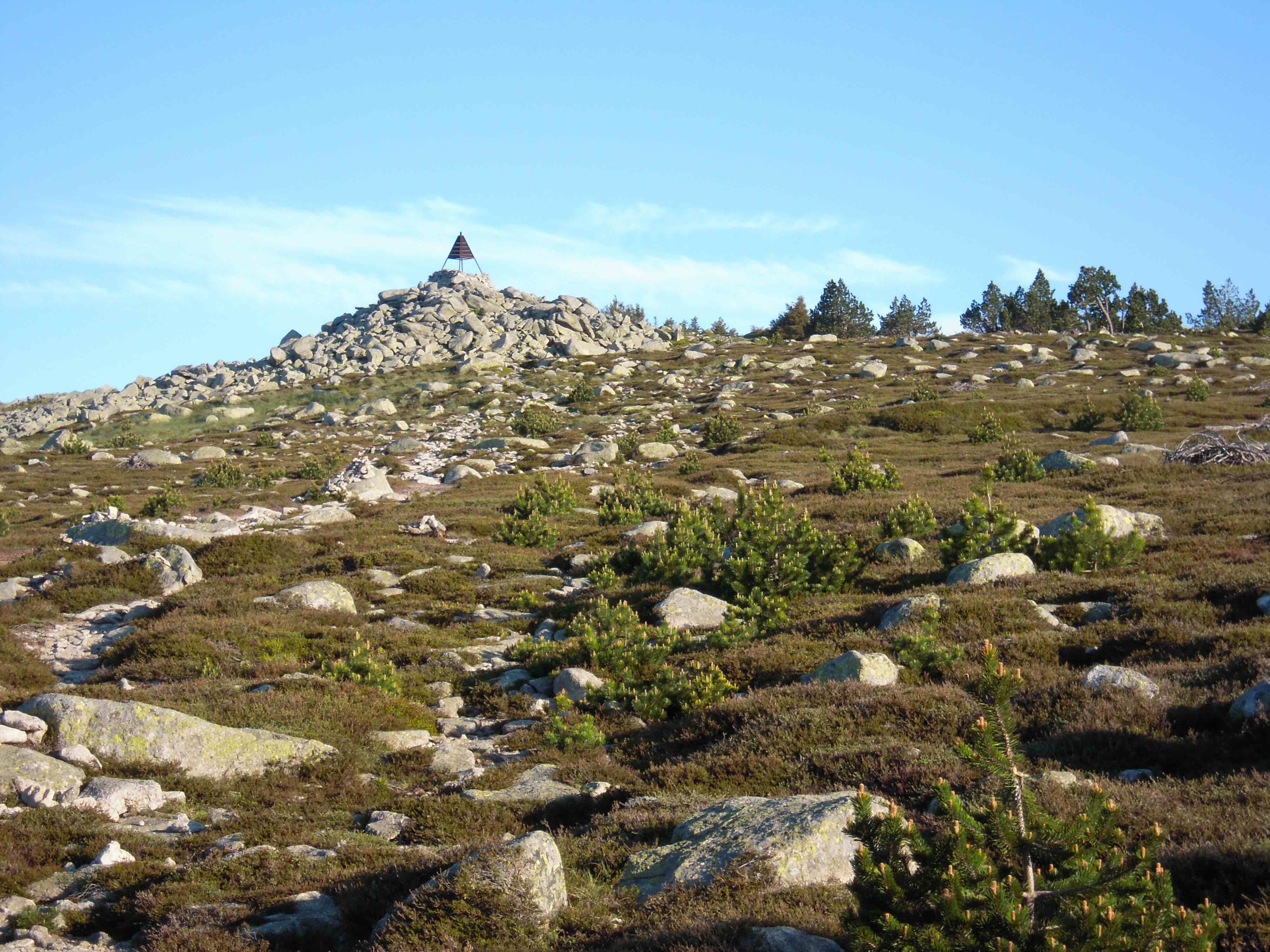
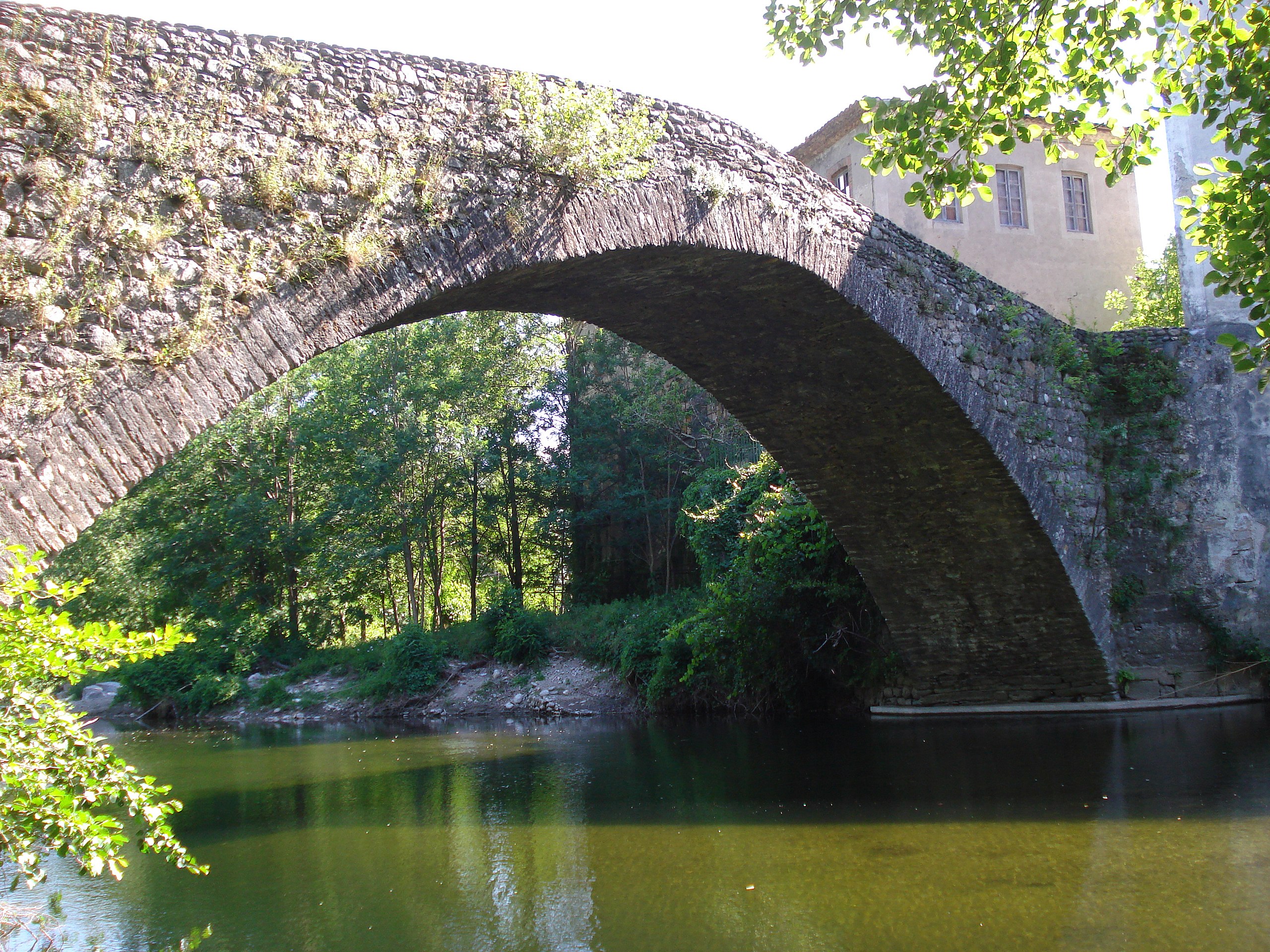
Pleasant hike from Pont de Rastel. The path begins by following the Luech before rising in the forest, offering some pretty viewpoints along the way.
Note that the first three kilometers are mainly on the road.

Already more than 200,000 users!
Uphill
245m
Highest point
465m
Downhill
245m
Lowest point
287m
Route type
Loop
Download the map on your smartphone to save battery and rest assured to always keep access to the route, even without signal.
Includes IGN France and Swisstopo.
I indicate whether dogs are allowed or prohibited on this trail
All year
0 ratings
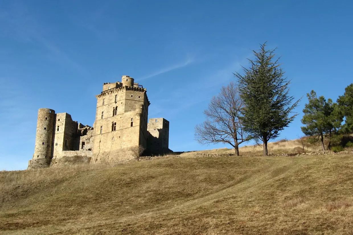
Also enjoy:

Already more than 200,000 users!