Uphill
442m
Length
10km
Duration
3h30min
Elev gain
442m
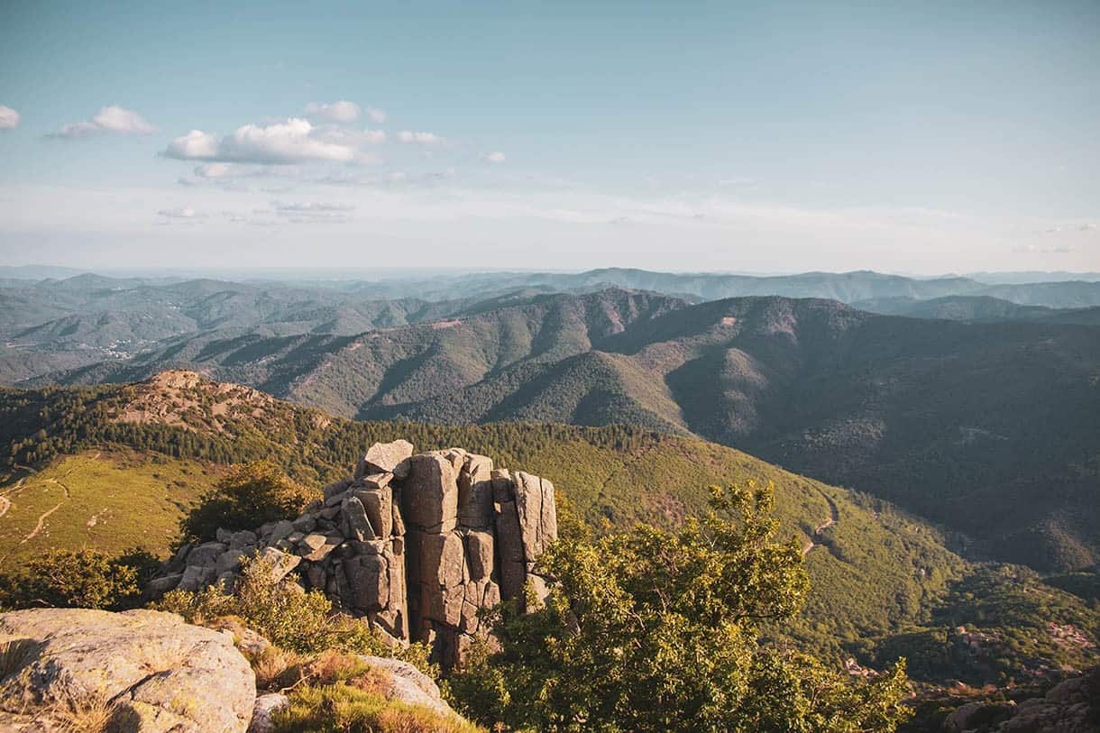
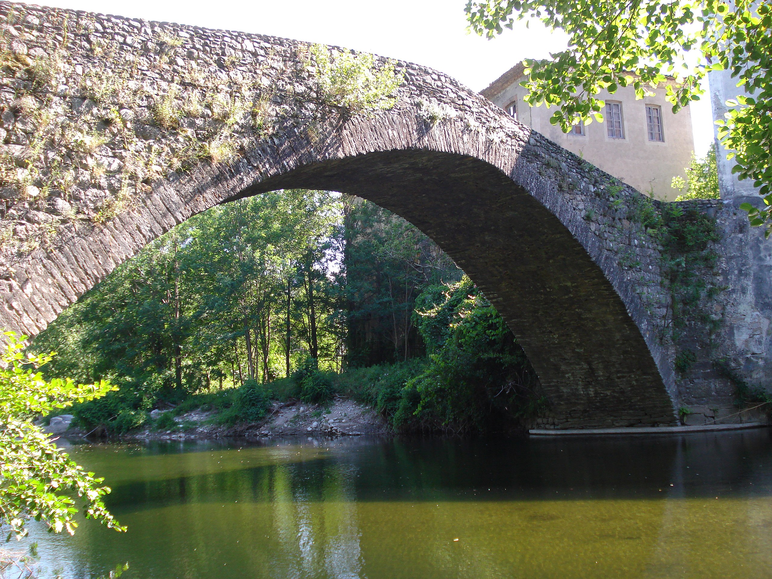
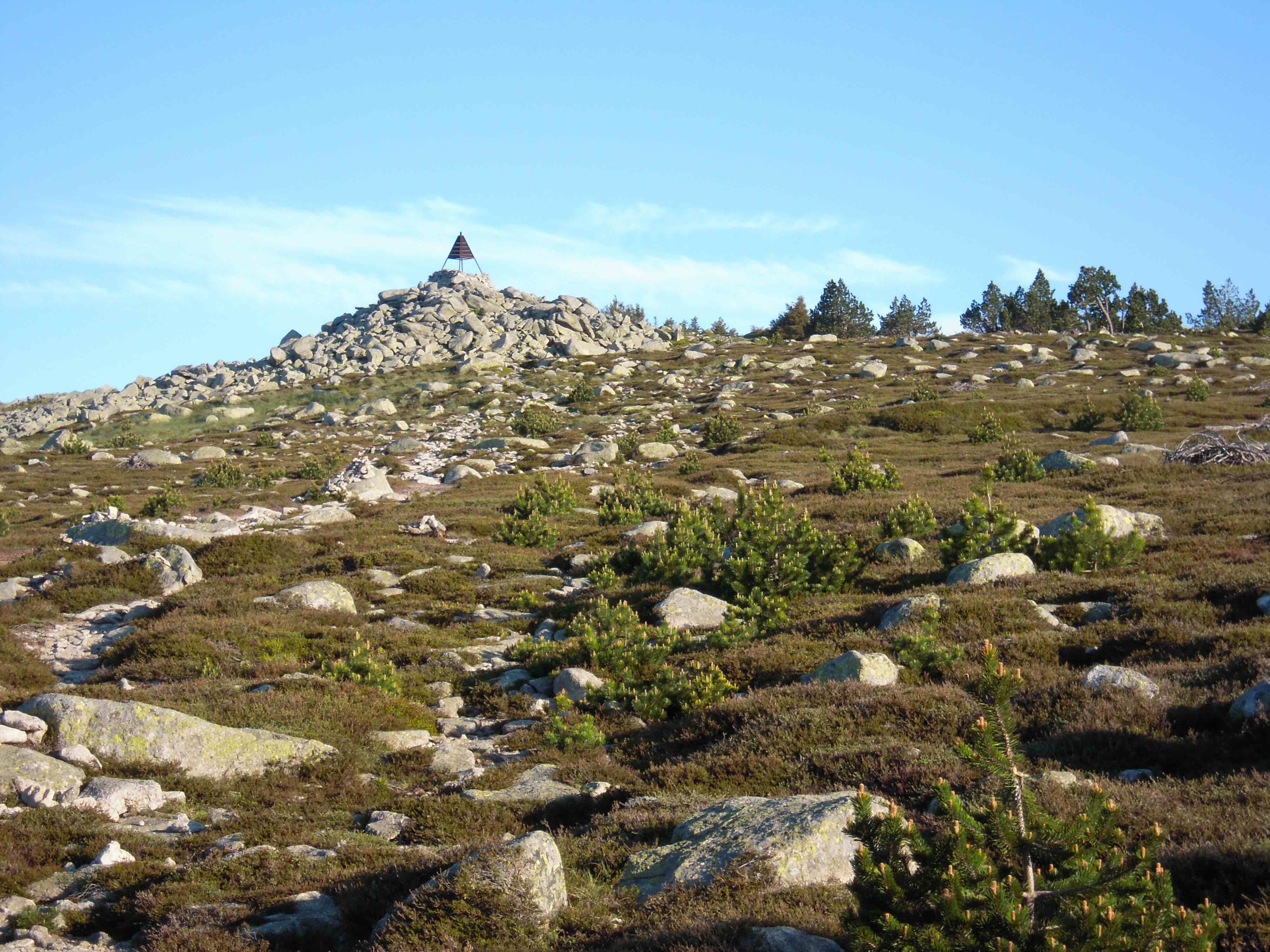
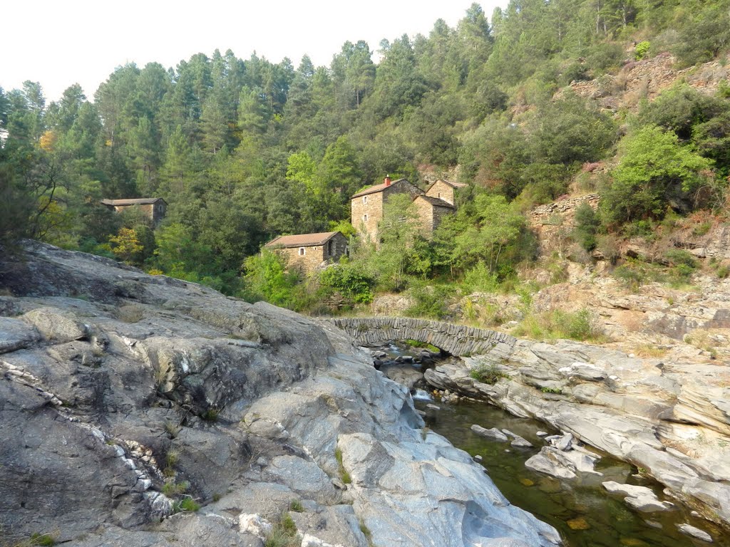
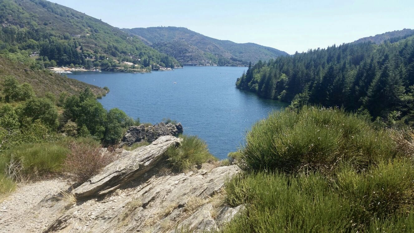
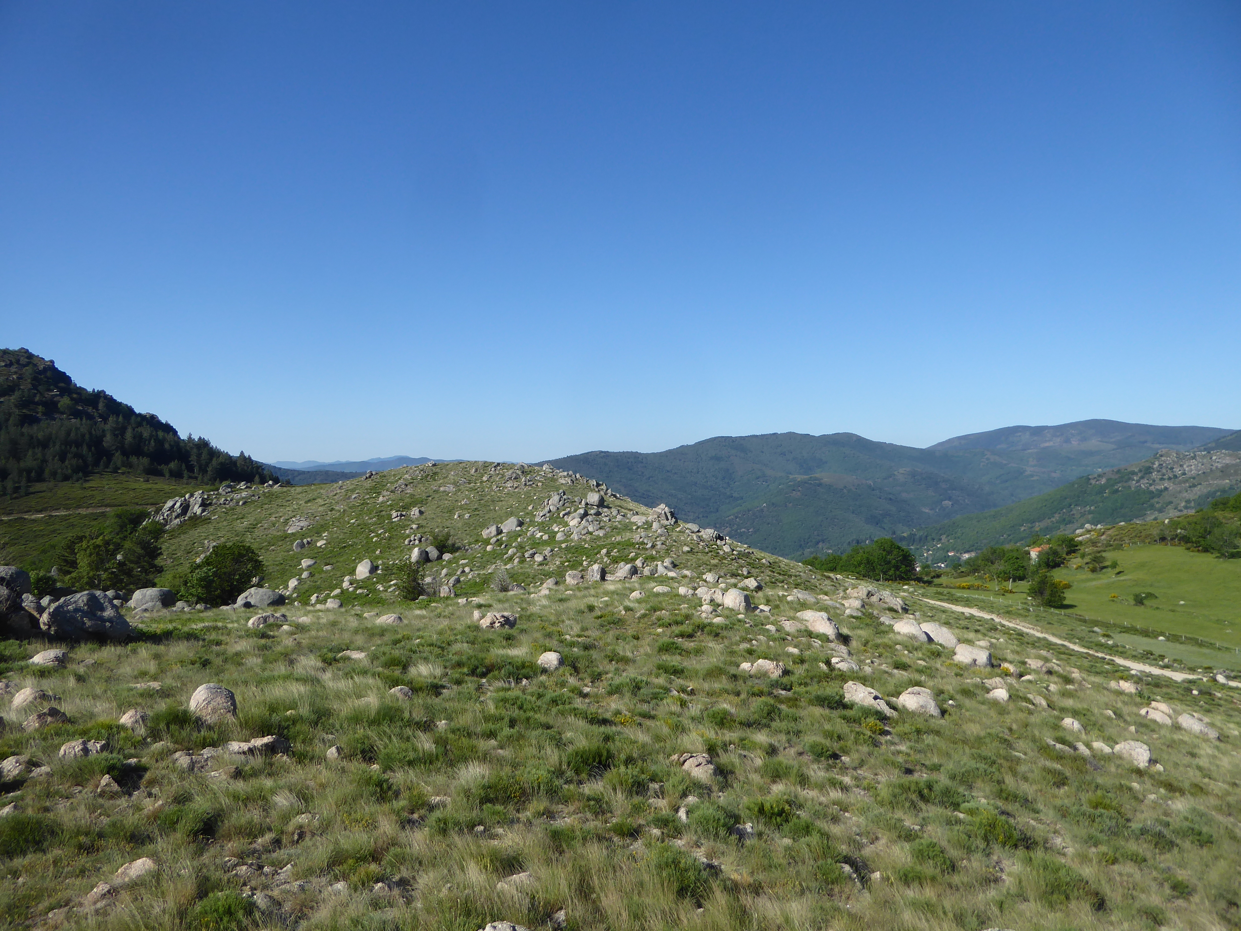
Here is a hike offering beautiful landscapes starting from Génolhac. The trail climbs steeply, crosses several small streams and offers superb panoramic views.

Already more than 200,000 users!
Uphill
442m
Highest point
894m
Downhill
442m
Lowest point
452m
Route type
Loop
Download the map on your smartphone to save battery and rest assured to always keep access to the route, even without signal.
Includes IGN France and Swisstopo.
I indicate whether dogs are allowed or prohibited on this trail
All year
0 ratings
Also enjoy:

Already more than 200,000 users!