Uphill
86m
Length
7km
Duration
2h
Elev gain
86m
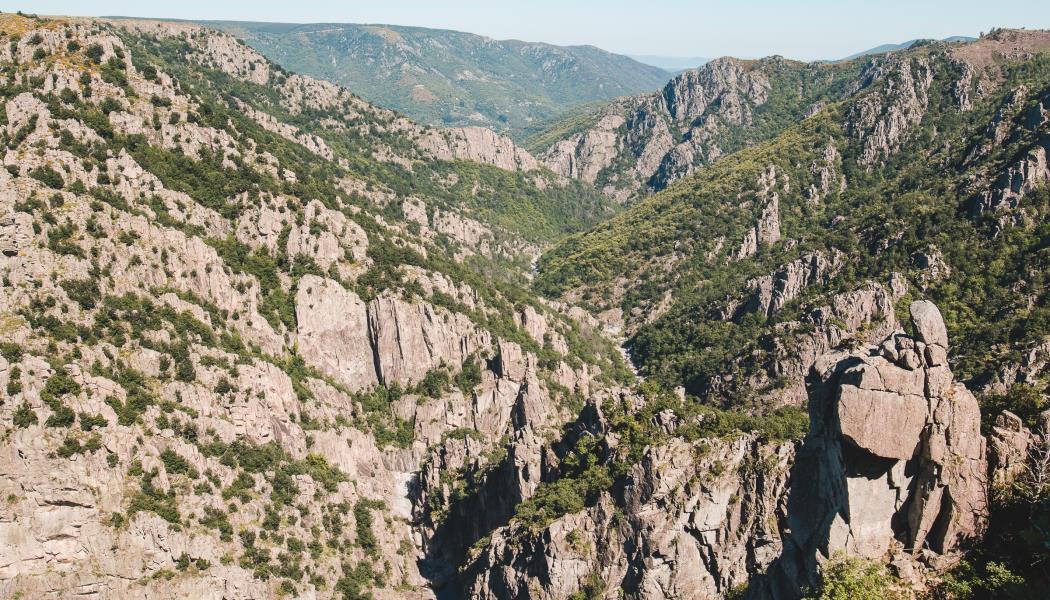
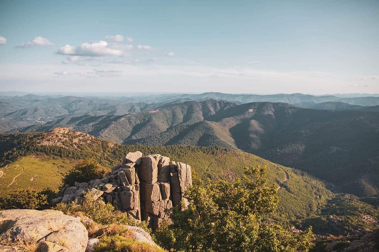
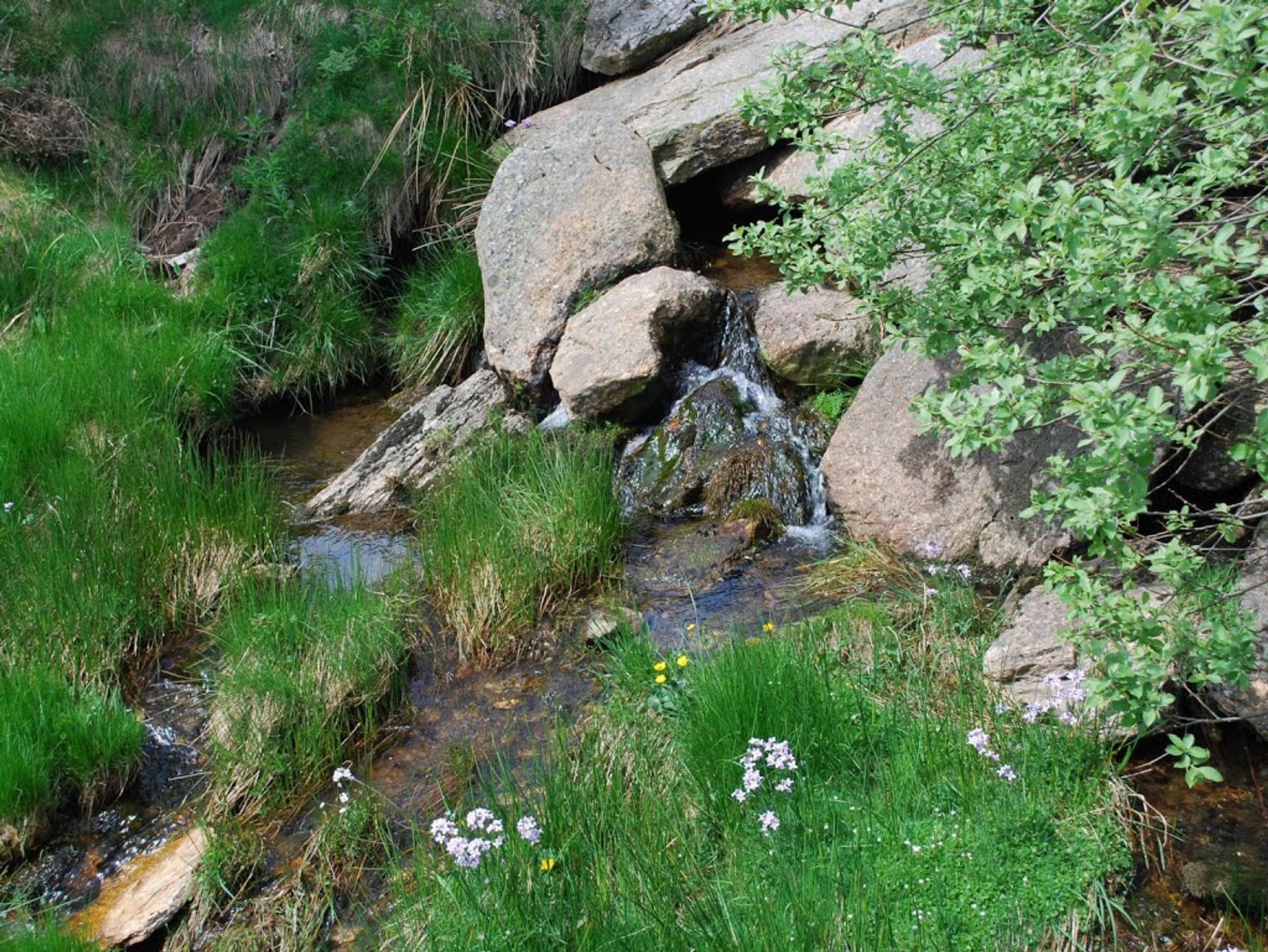
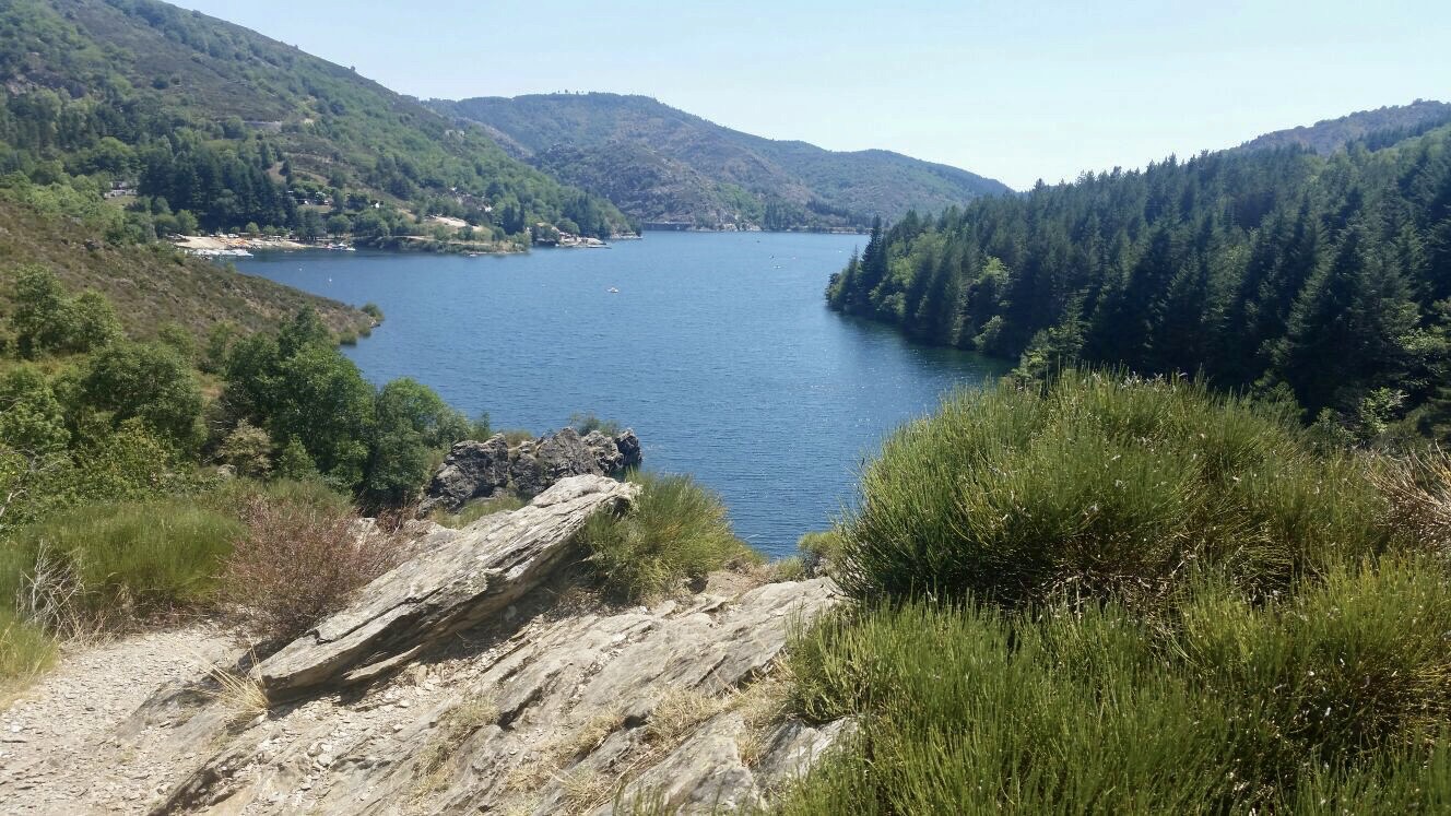
Shaded hike with lovely views of Lac de Villefort. Ideal for a picnic or a swim. Note a short passage on the road.

Already more than 200,000 users!
Uphill
86m
Highest point
641m
Downhill
86m
Lowest point
593m
Route type
Loop
Download the map on your smartphone to save battery and rest assured to always keep access to the route, even without signal.
Includes IGN France and Swisstopo.
I indicate whether dogs are allowed or prohibited on this trail
All year
1 rating
Endroit magnifique belle randonnée attention tout de même car ça grimpe beaucoup toujours être bien chaussé
Also enjoy:

Already more than 200,000 users!