Uphill
218m
Length
8km
Duration
2h30min
Elev gain
218m
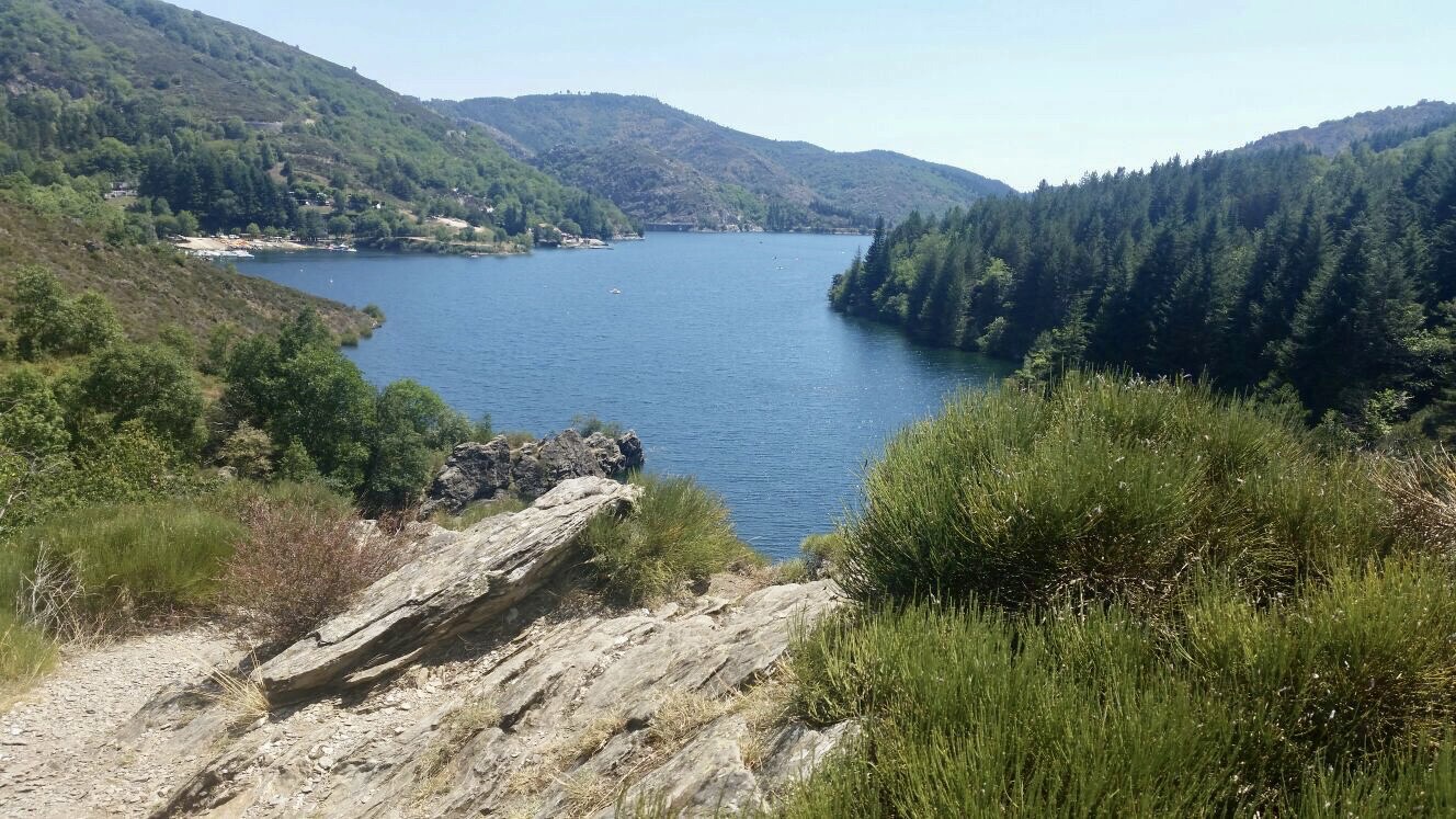
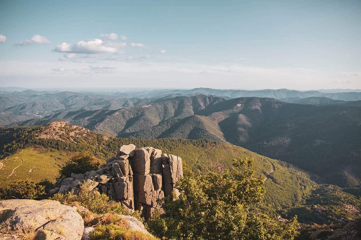
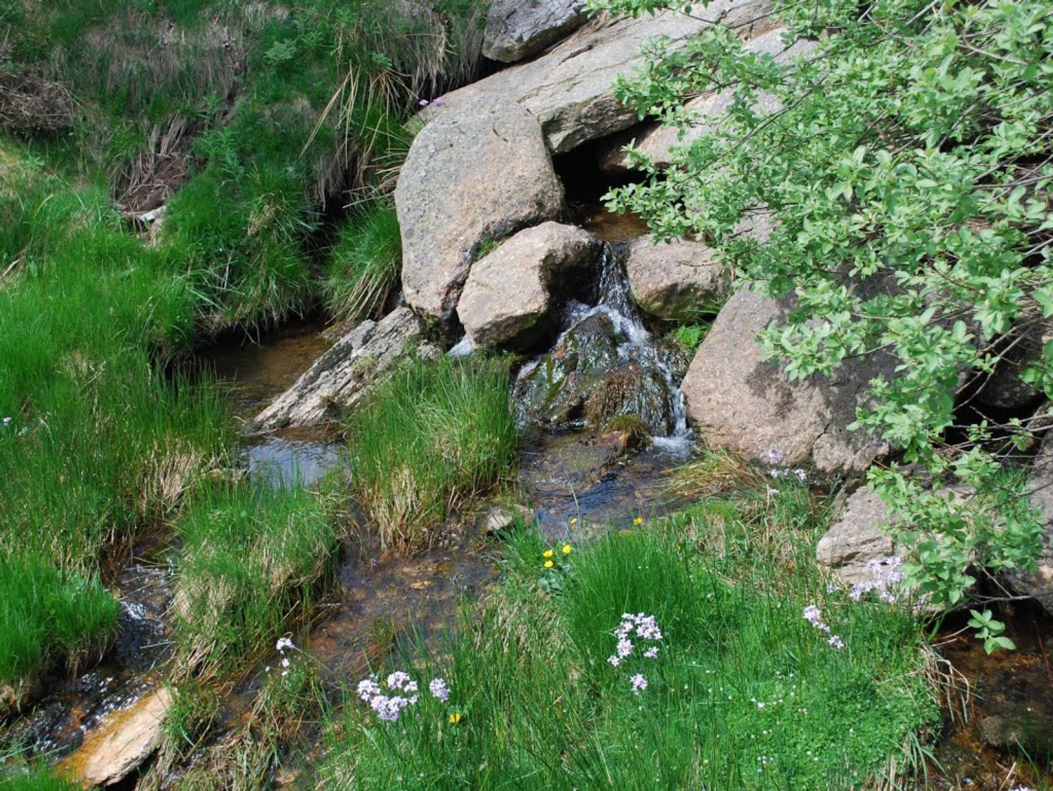
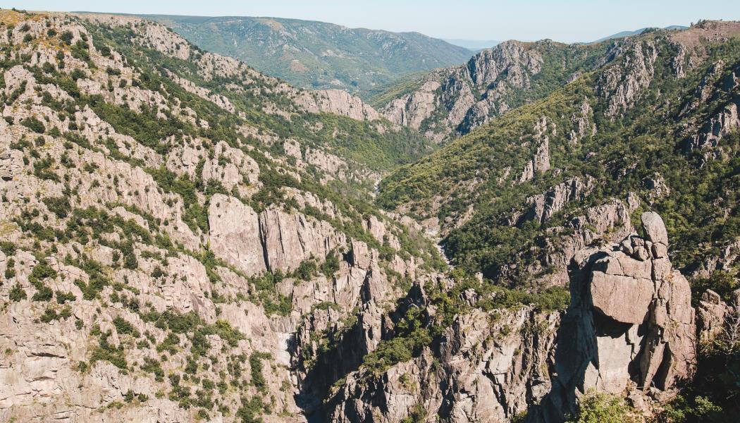
Starting from the Château de la Garde-Guérin, this route crosses the villages of Roure and Albespeyres. The path also passes by a belvedere overlooking the Chassezac valley, before returning to the direction of the starting point to end this pretty hike.

Already more than 200,000 users!
Uphill
218m
Highest point
893m
Downhill
218m
Lowest point
755m
Route type
Loop
Download the map on your smartphone to save battery and rest assured to always keep access to the route, even without signal.
Includes IGN France and Swisstopo.
I indicate whether dogs are allowed or prohibited on this trail
All year
1 rating
Also enjoy:

Already more than 200,000 users!