Uphill
639m
Length
12km
Duration
5h
Elev gain
639m
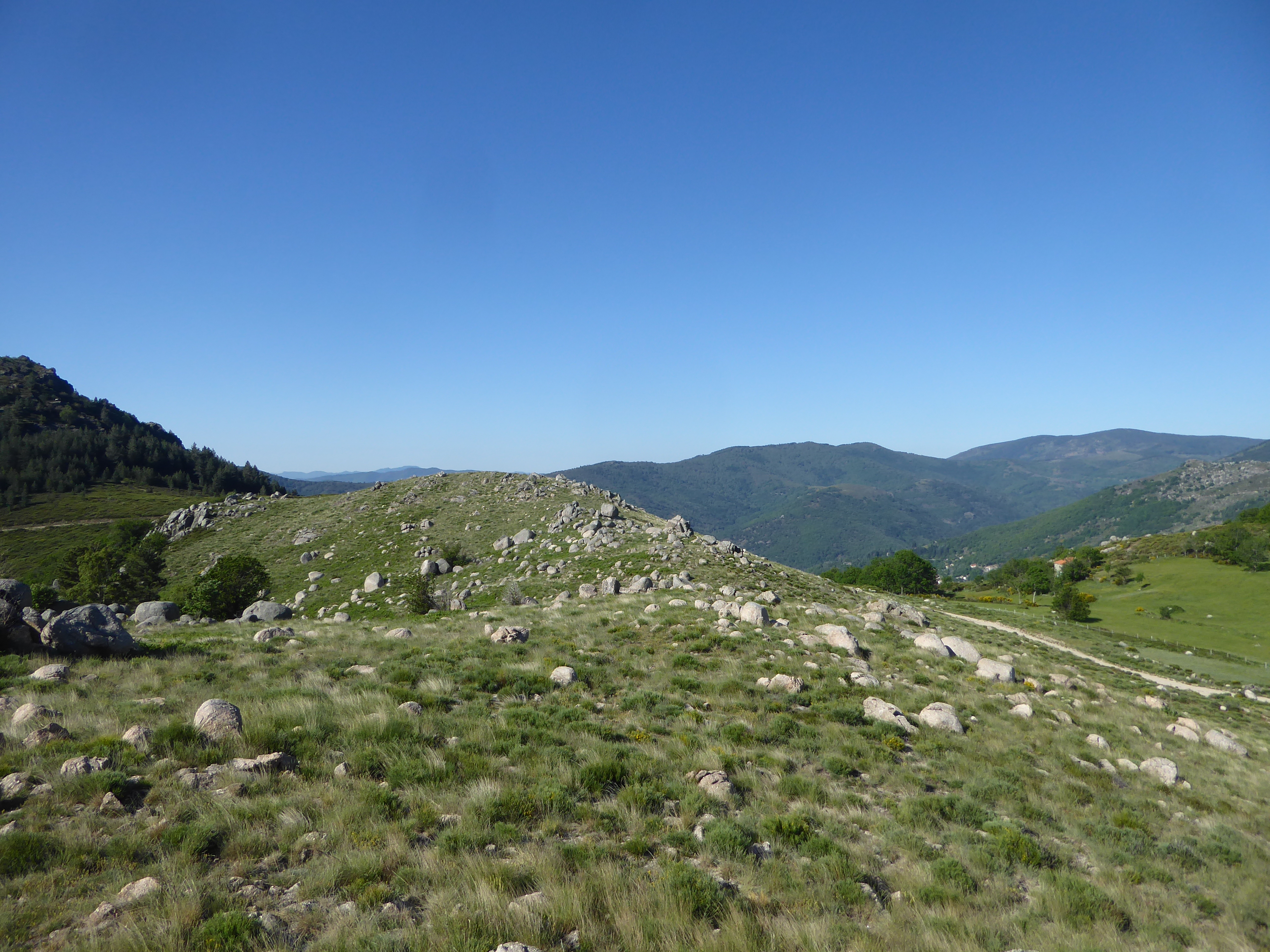
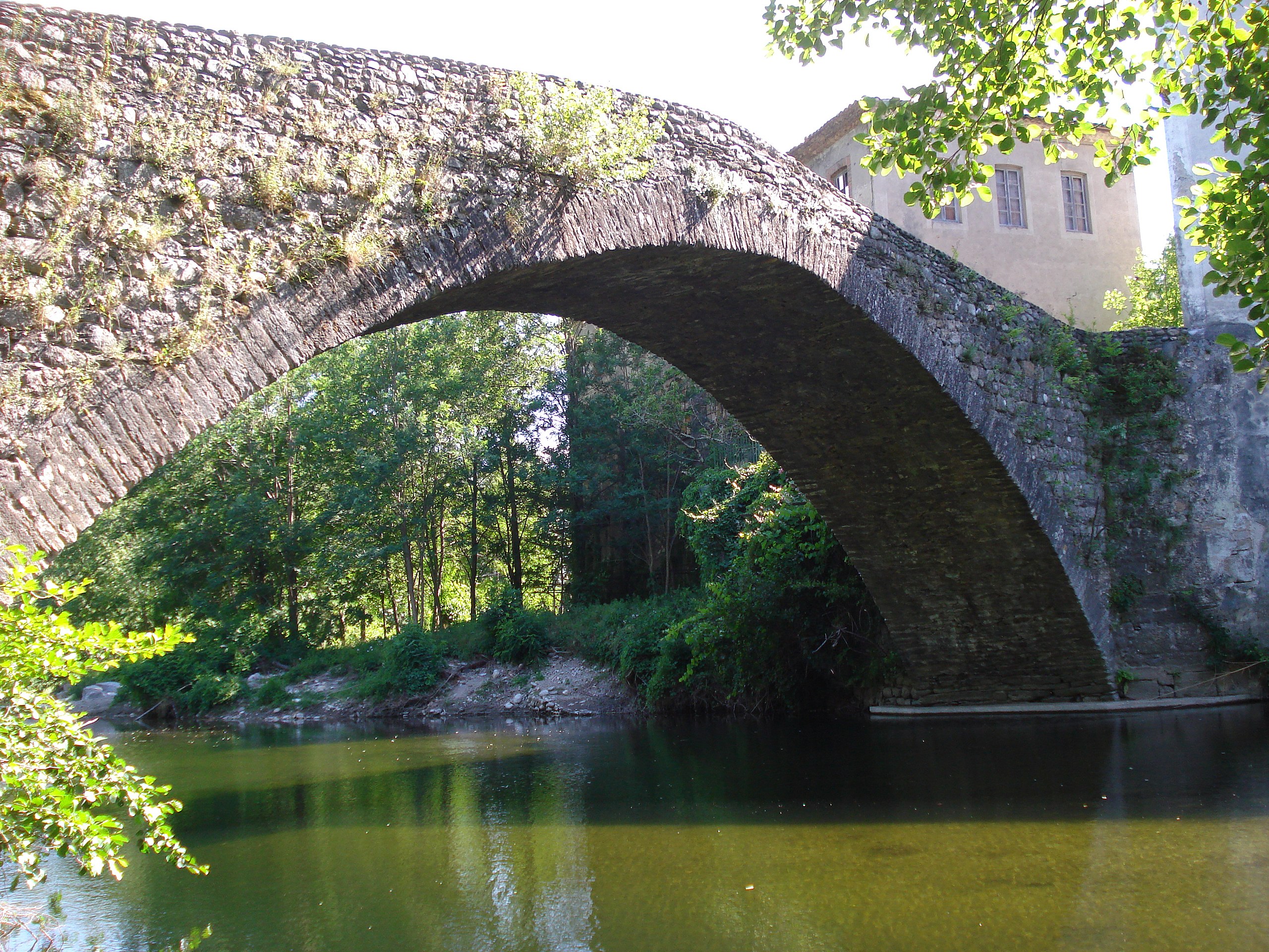
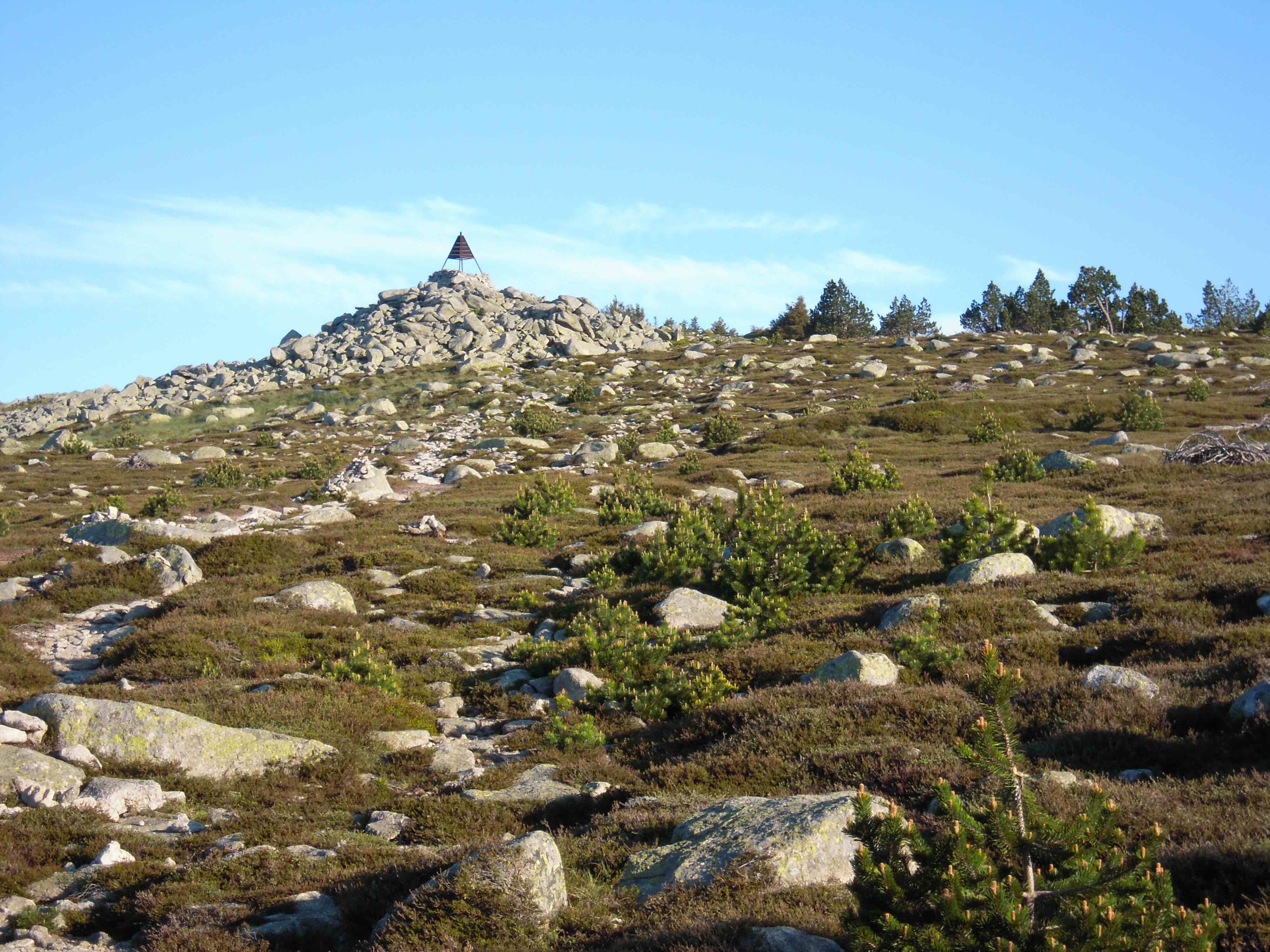
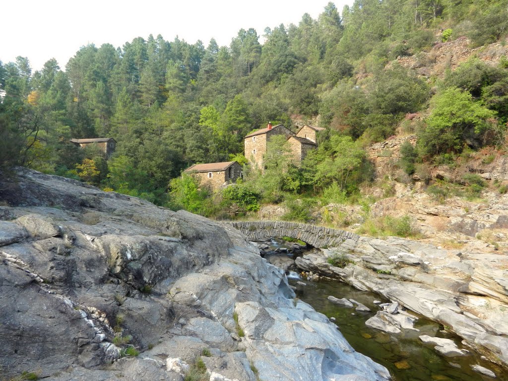
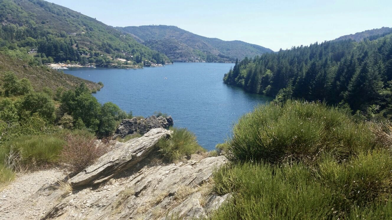
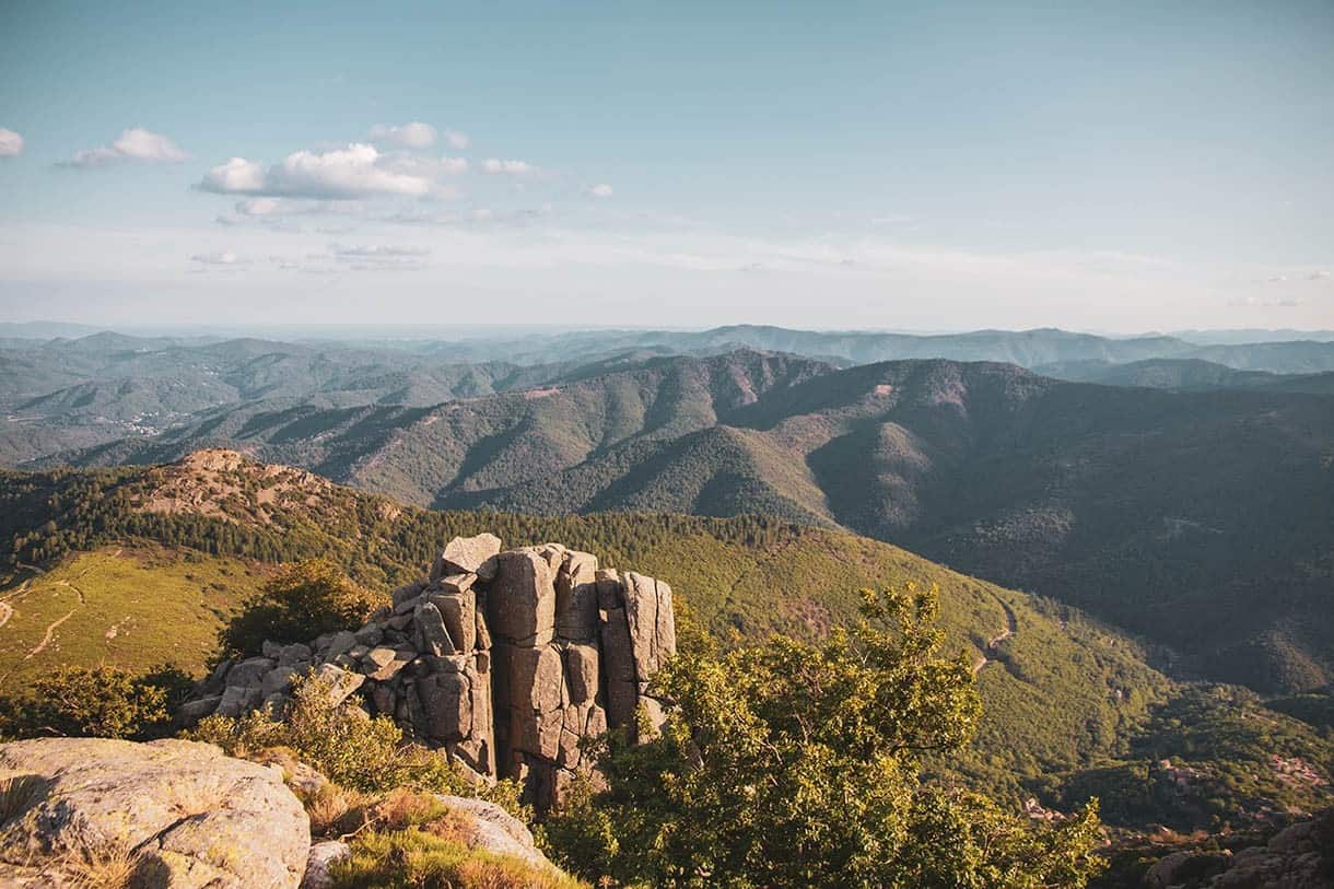
Breathtaking landscapes, beautiful flora, and a bit of physical effort: here's how to sum up this hike. The path runs along the rocky bar of Trenze and offers beautiful views of the Vialas and Gardonnette valleys.

Already more than 200,000 users!
Uphill
639m
Highest point
1415m
Downhill
639m
Lowest point
824m
Route type
Loop
Download the map on your smartphone to save battery and rest assured to always keep access to the route, even without signal.
Includes IGN France and Swisstopo.
Authorised on a leash
Can be difficult in Winter
4 ratings
Also enjoy:

Already more than 200,000 users!