Uphill
300m
Length
12km
Duration
4h
Elev gain
300m
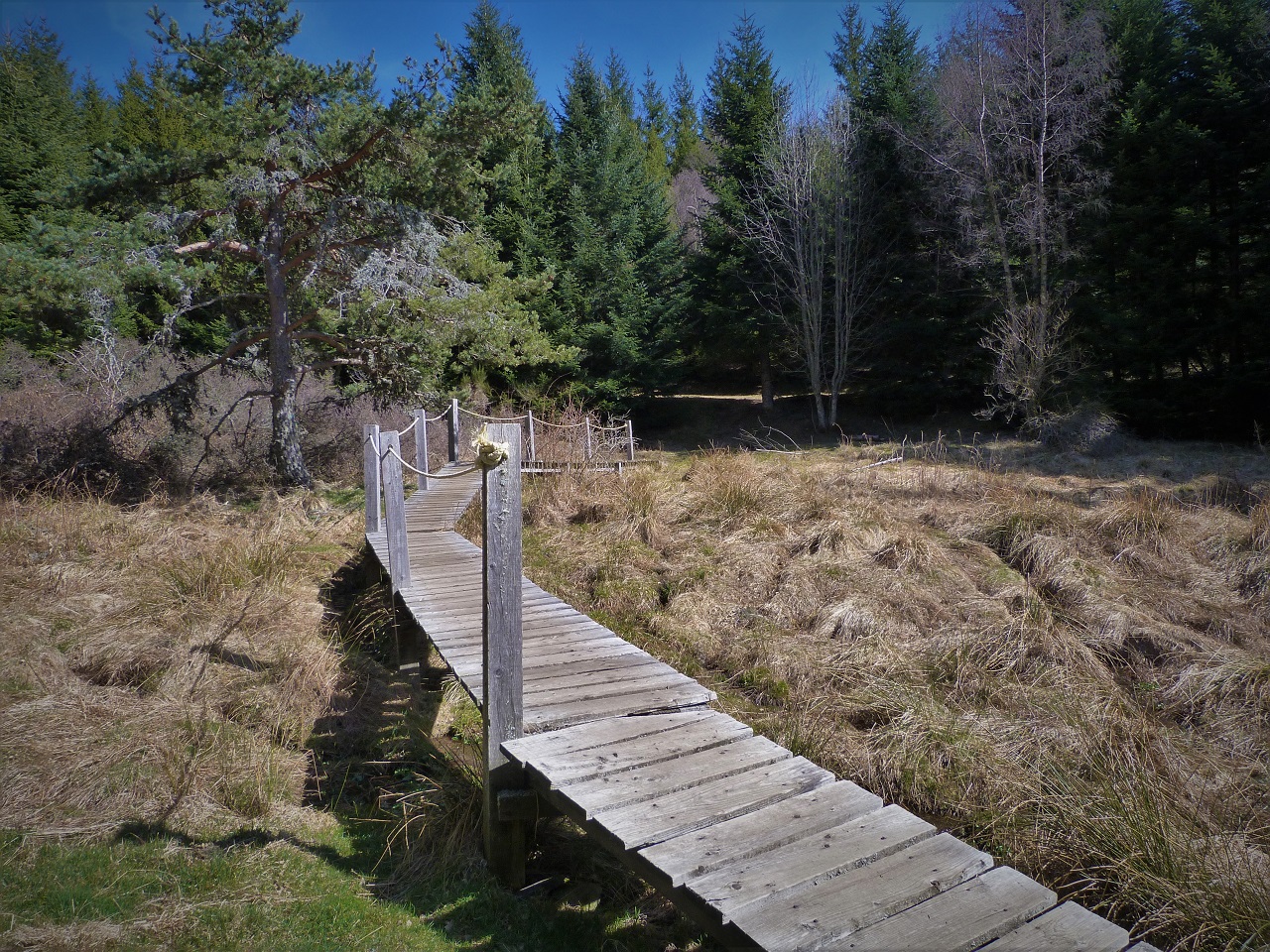
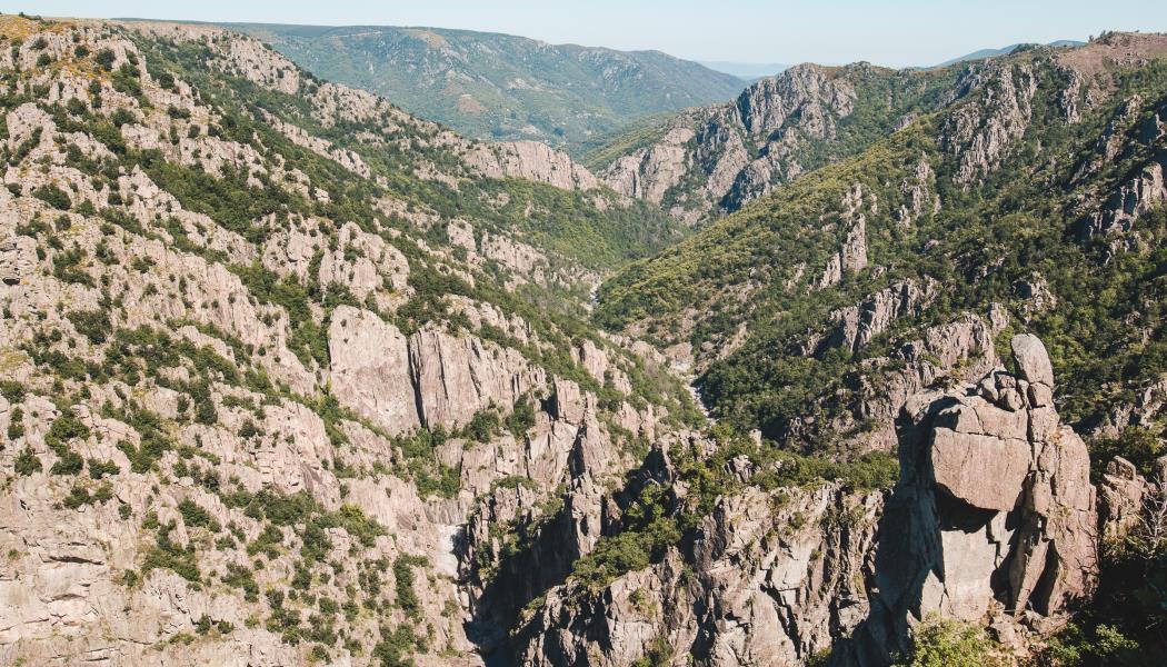
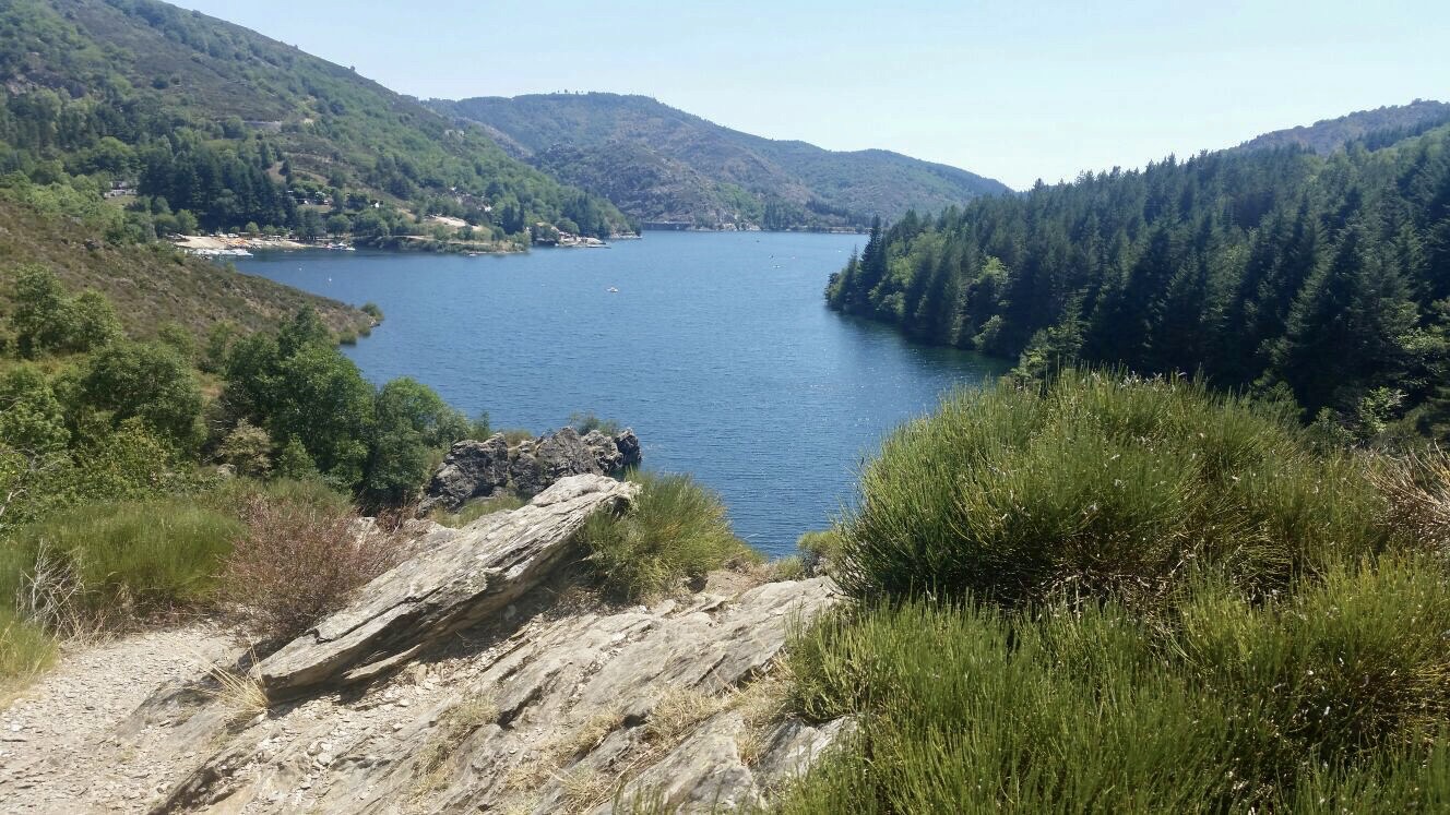
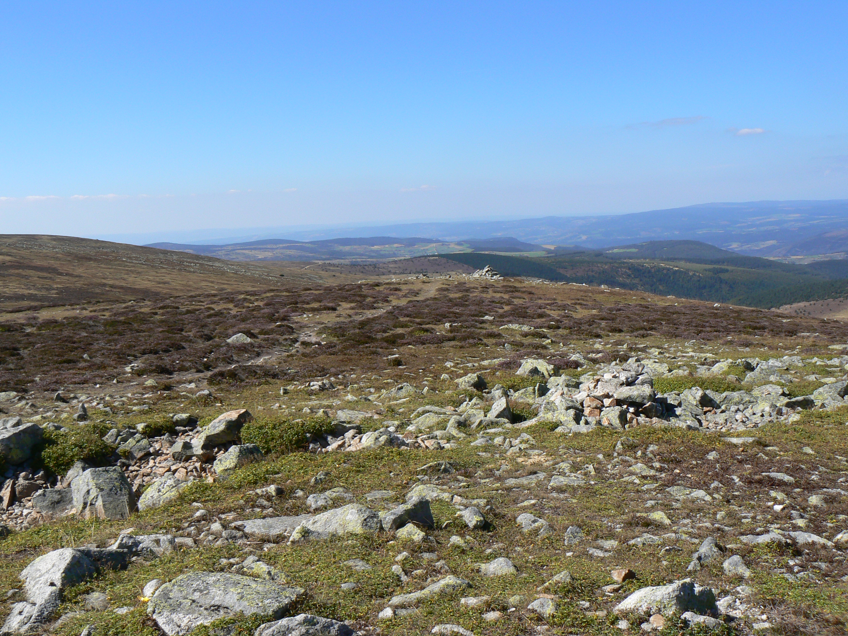
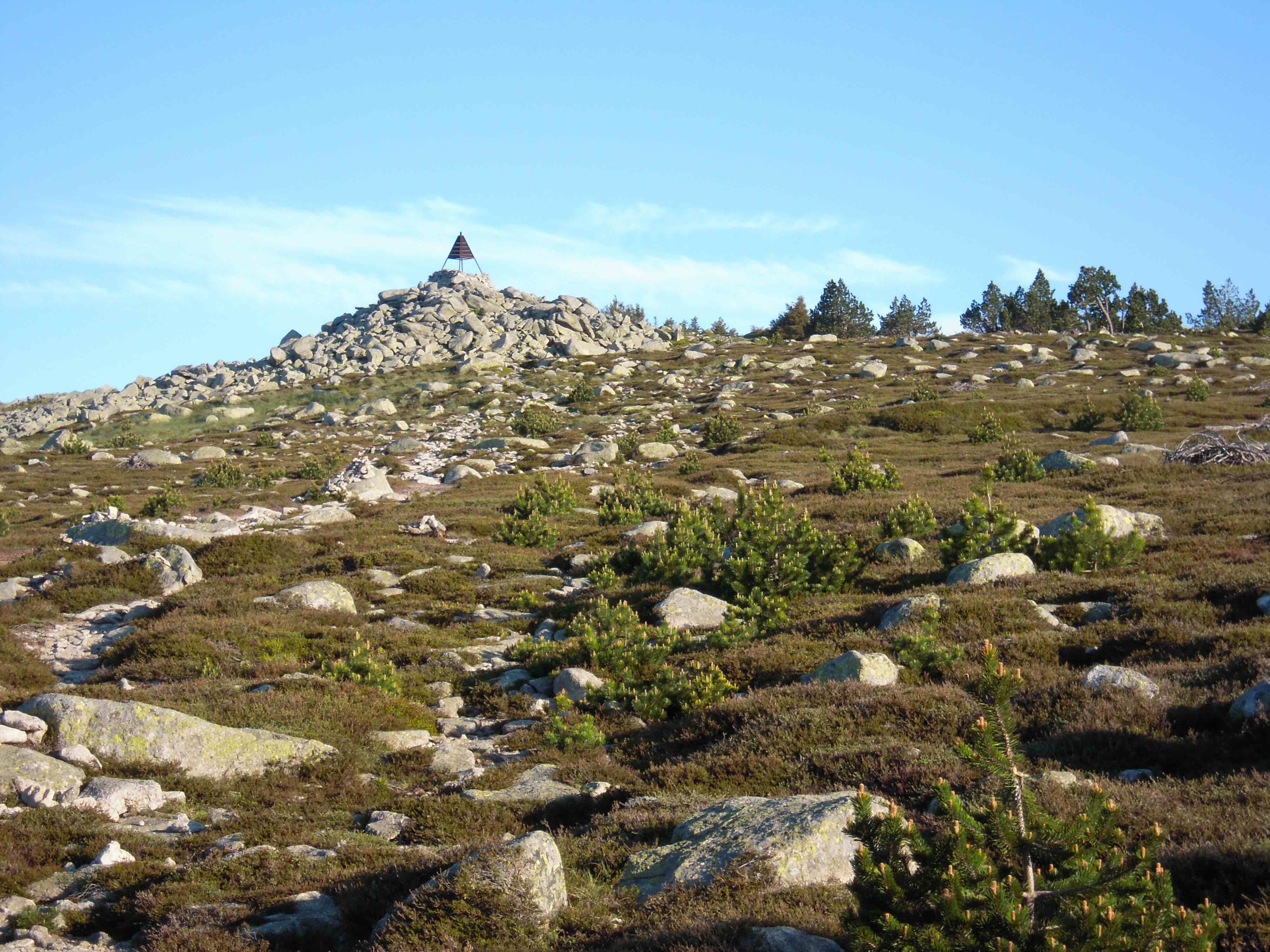
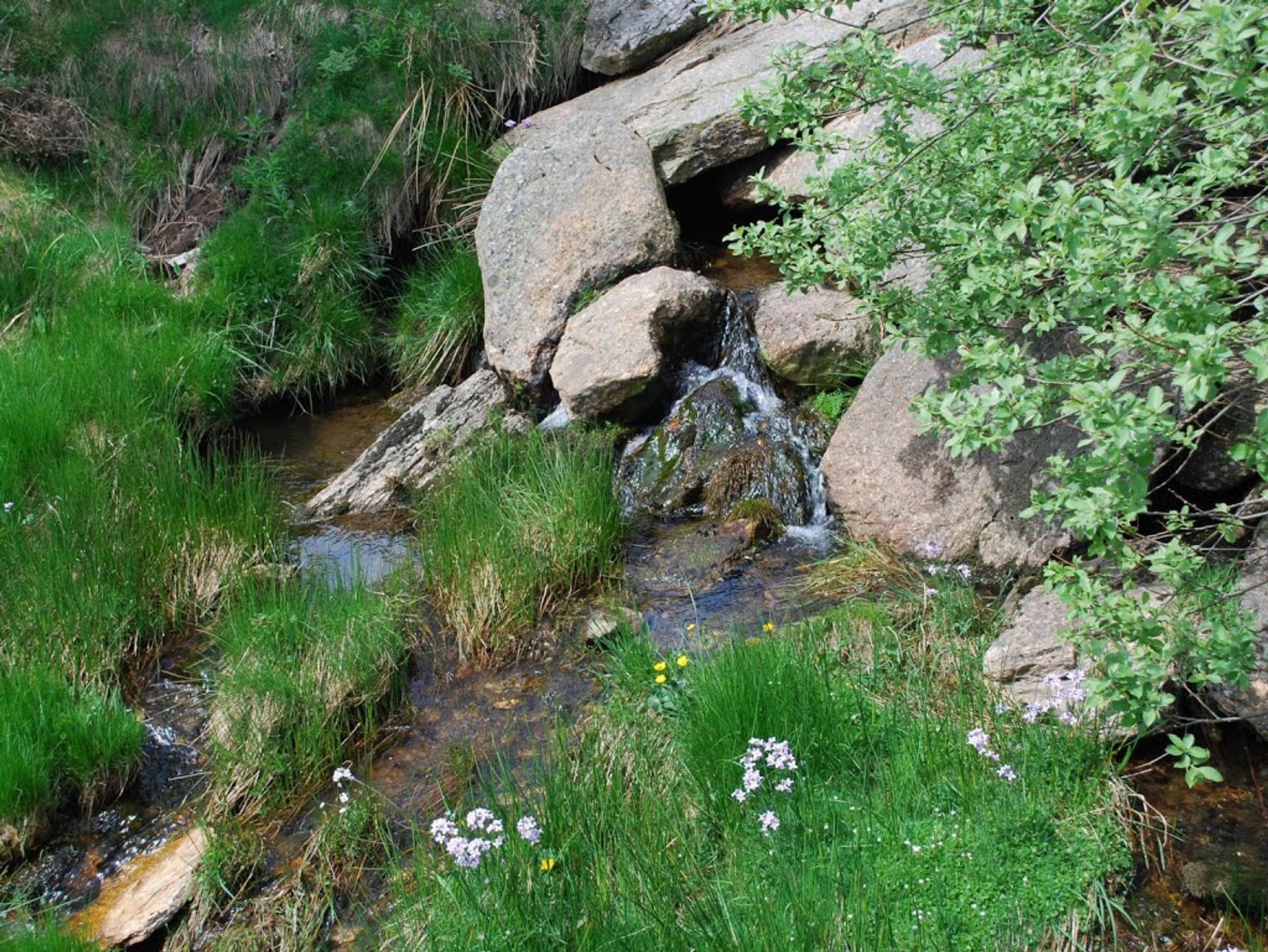
Pretty loop hike starting from Chasseradès. The route passes by the sources of the Allier and very close to the Moure de la Gardille, within an environment typical of the area.

Already more than 200,000 users!
Uphill
300m
Highest point
1425m
Downhill
300m
Lowest point
1169m
Route type
Loop
Download the map on your smartphone to save battery and rest assured to always keep access to the route, even without signal.
Includes IGN France and Swisstopo.
I indicate whether dogs are allowed or prohibited on this trail
Can be difficult in Winter
0 ratings
Also enjoy:

Already more than 200,000 users!