Uphill
312m
Length
12km
Duration
4h
Elev gain
312m
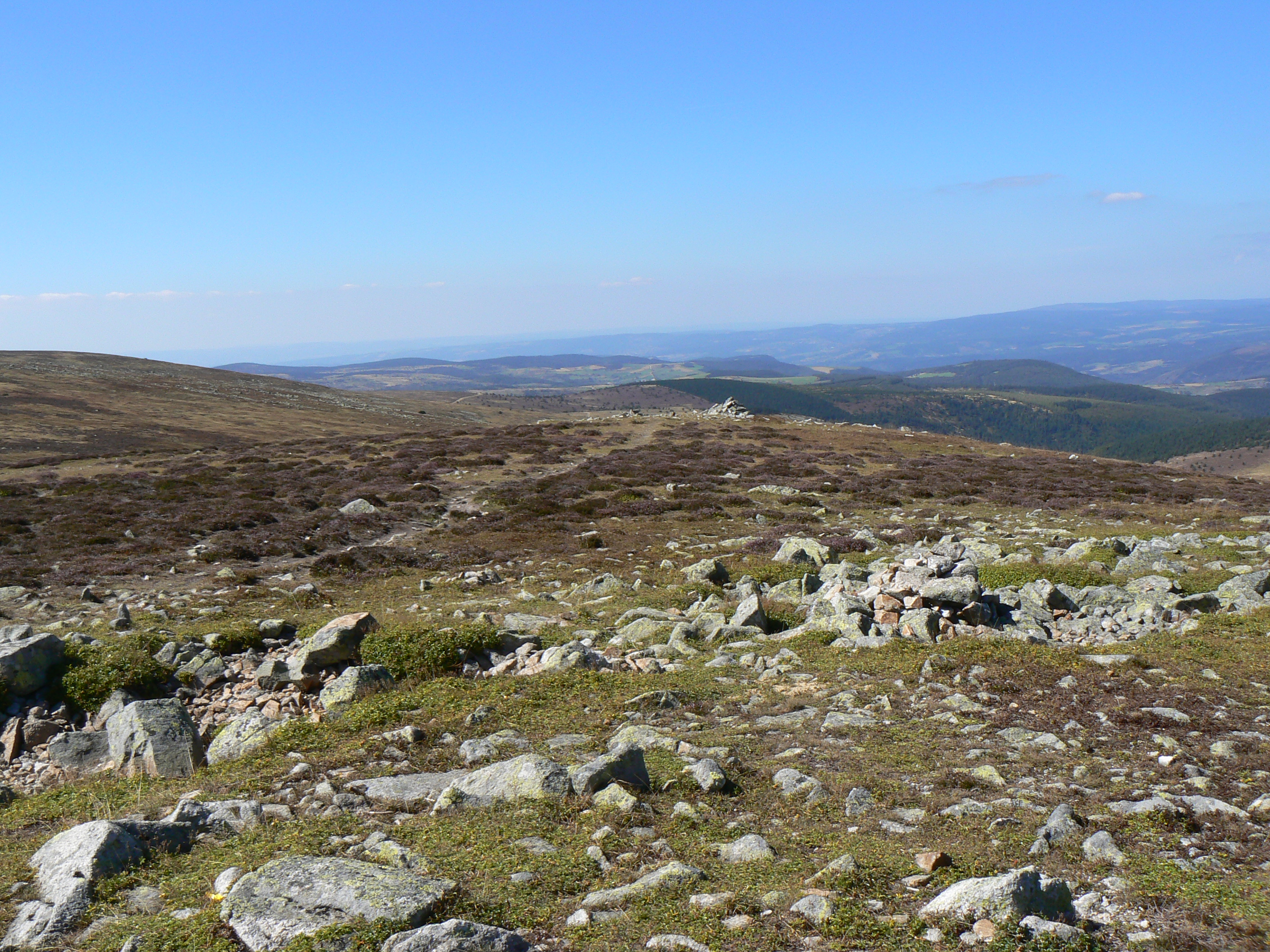
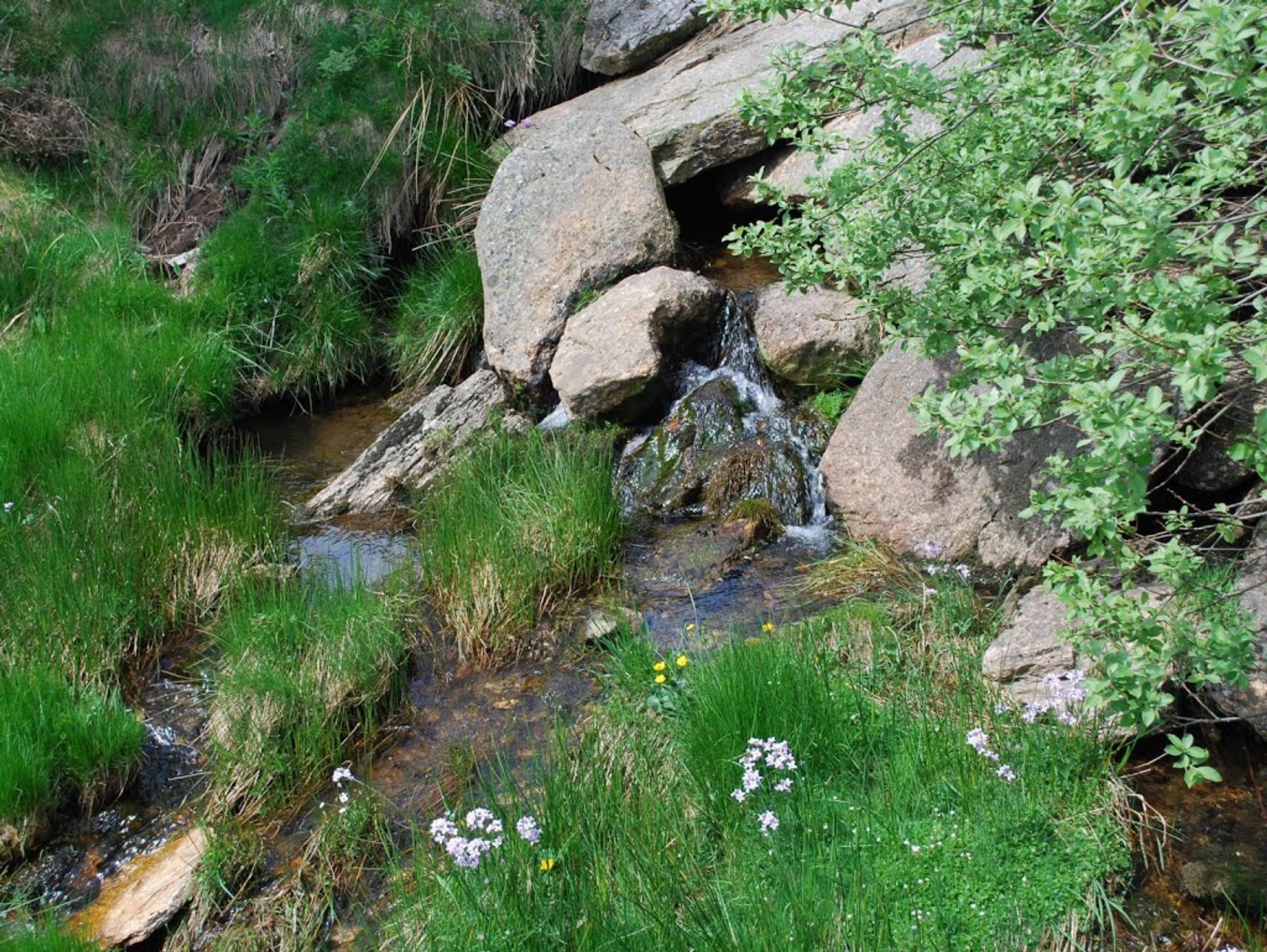
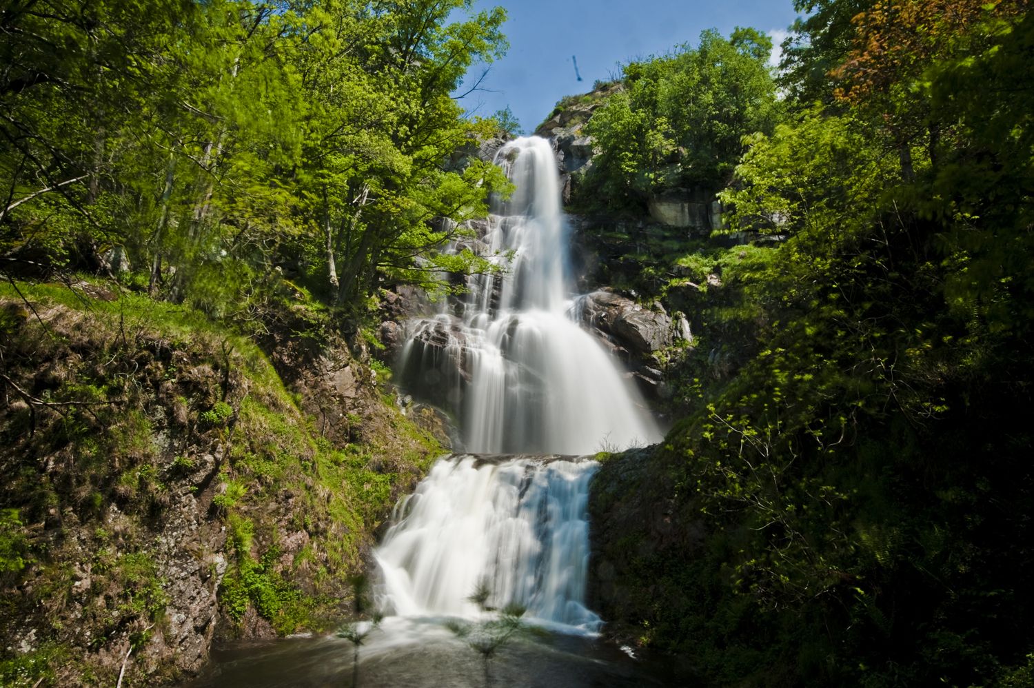
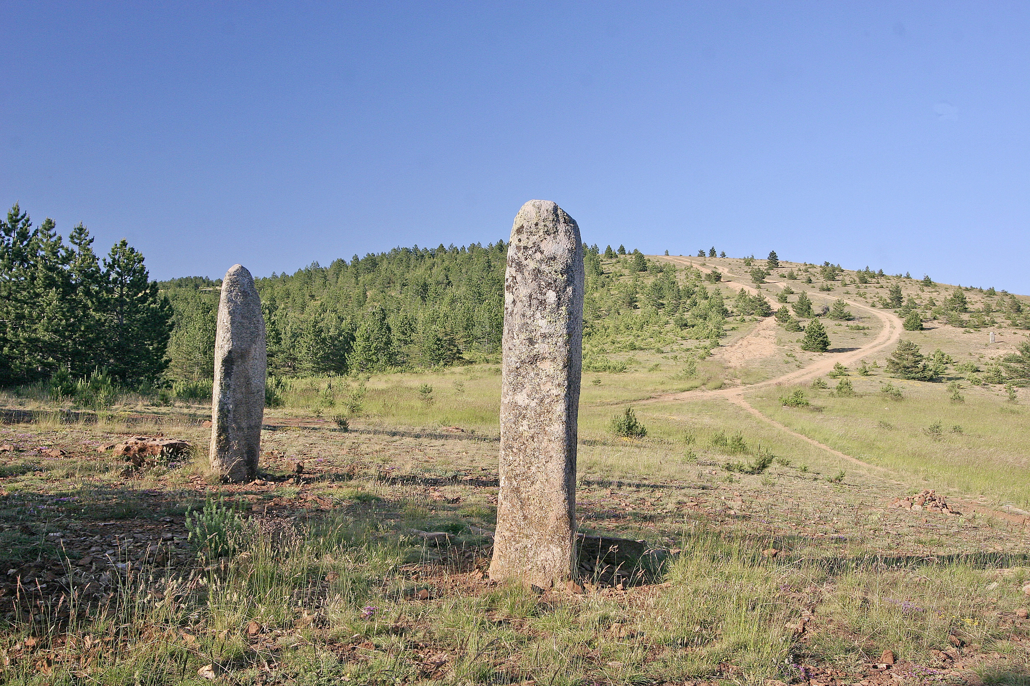
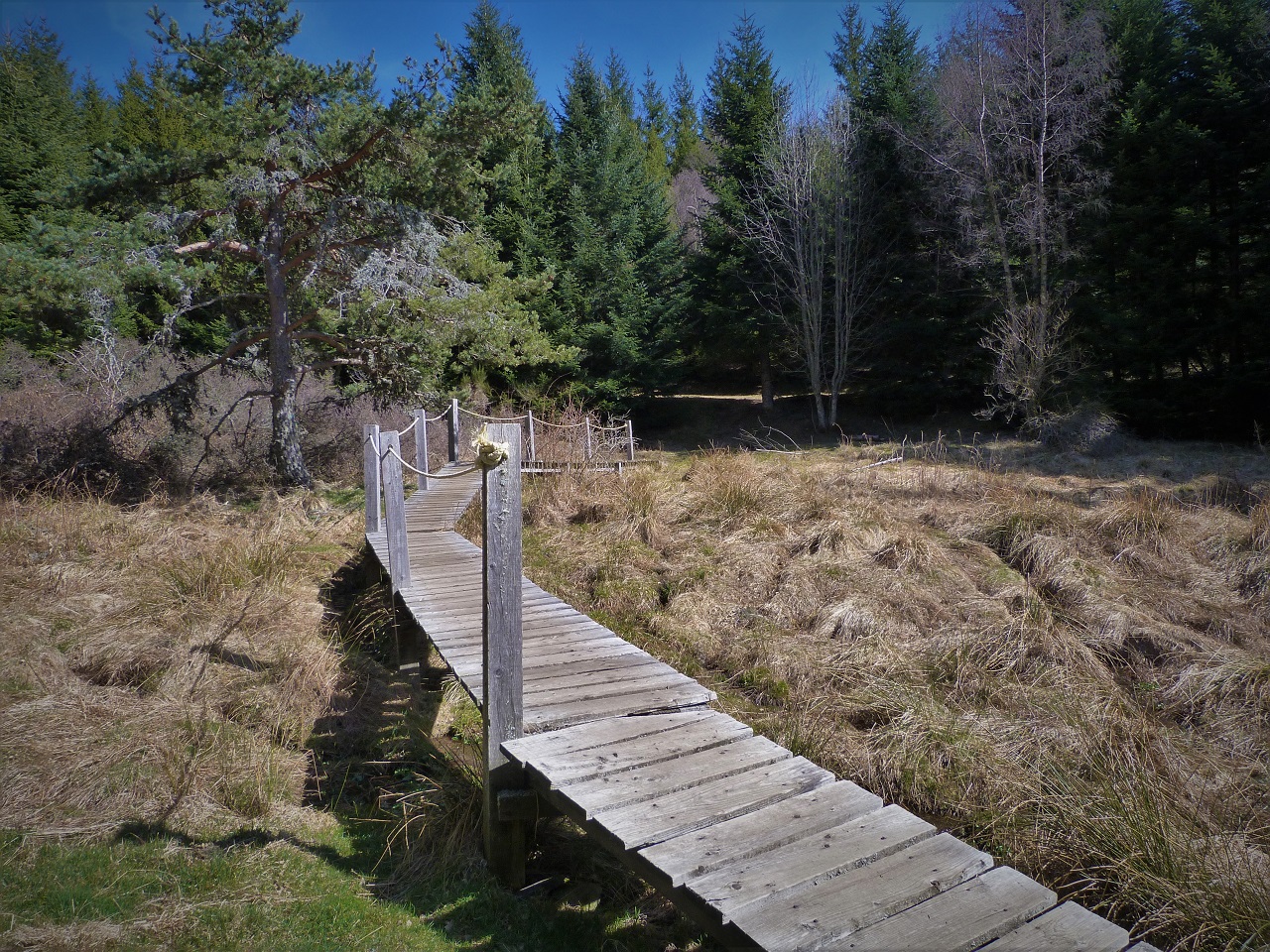
Departing from Le Bleymard, this is a walk between forests and meadows, to discover the sources of the Lot.

Already more than 200,000 users!
Uphill
312m
Highest point
1286m
Downhill
312m
Lowest point
1058m
Route type
Loop
Download the map on your smartphone to save battery and rest assured to always keep access to the route, even without signal.
Includes IGN France and Swisstopo.
No specific parking for this hike, but some space in the village of Le Bleymard.
I indicate whether dogs are allowed or prohibited on this trail
Can be difficult in Winter
0 ratings
Also enjoy:

Already more than 200,000 users!