Uphill
176m
Length
5km
Duration
2h
Elev gain
176m
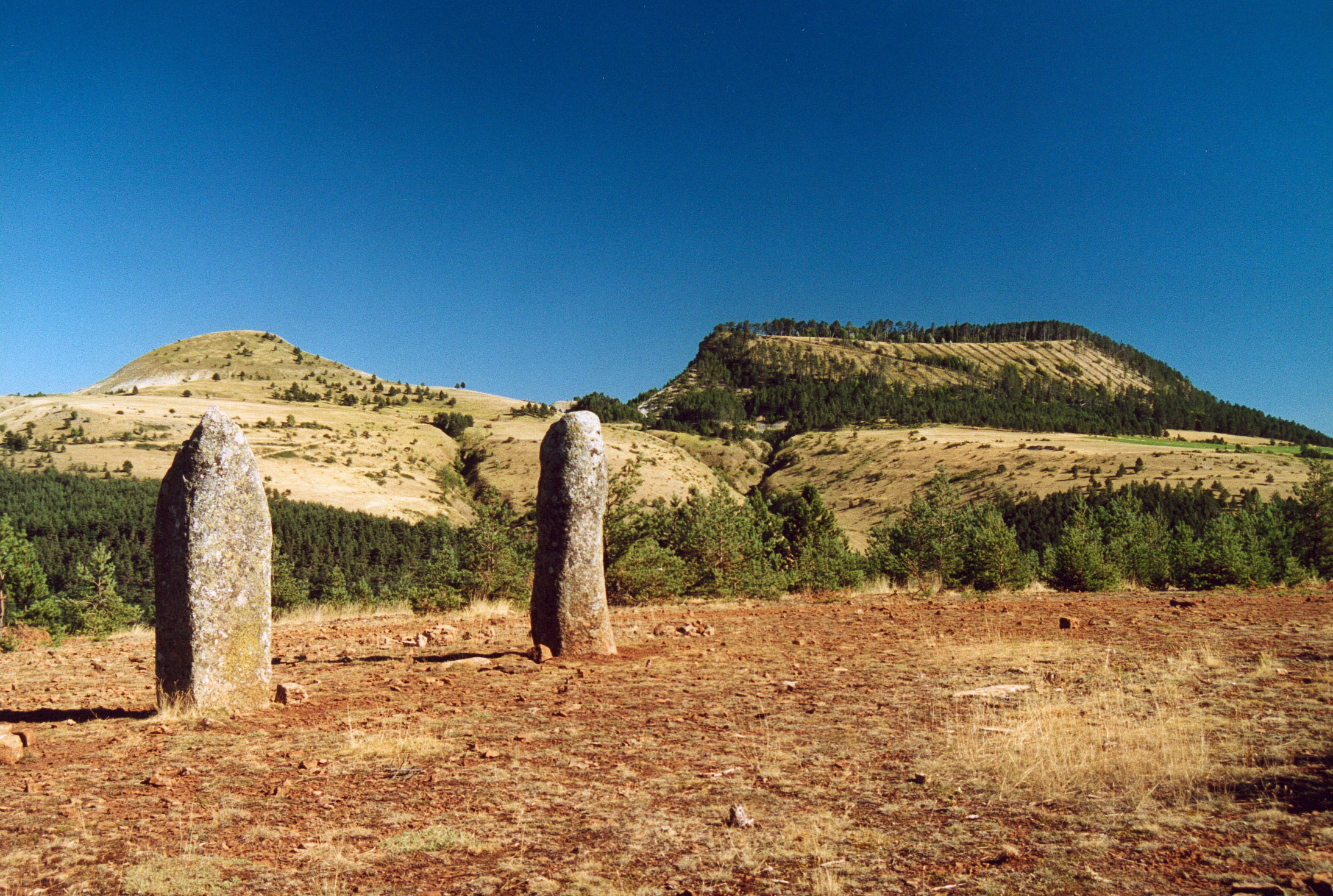
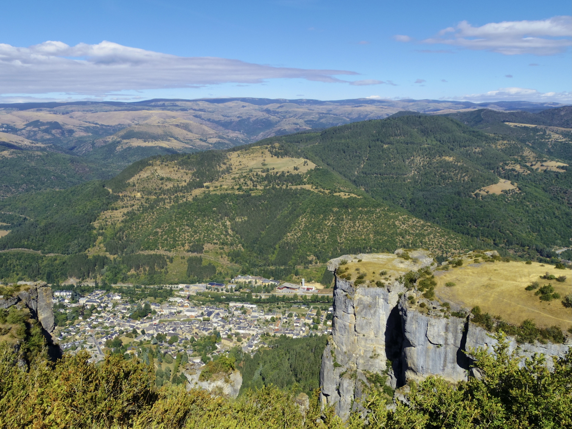
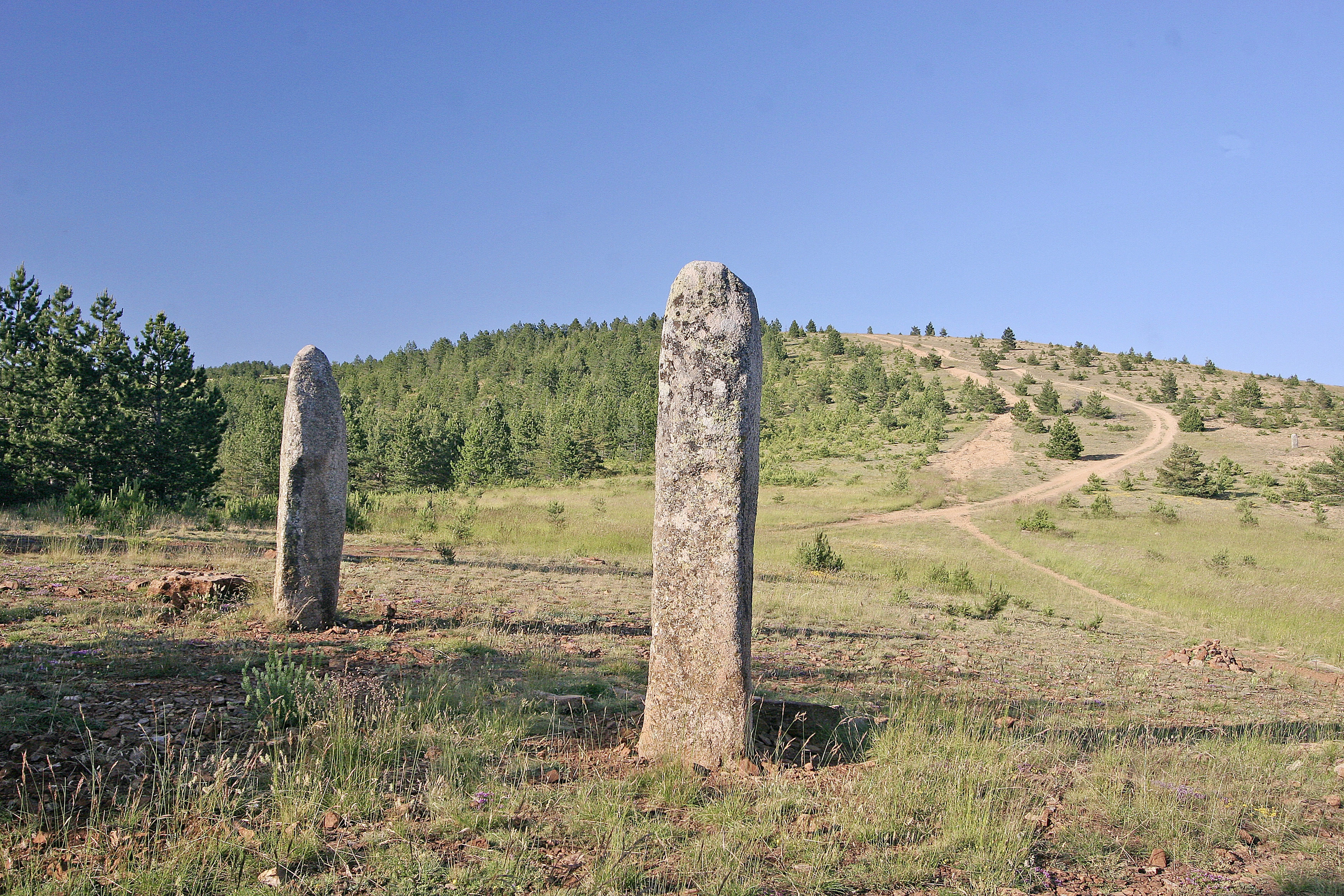
Here is a short hike near Mont Lozère. The route sets out to discover the menhirs of La Fage and offers many viewpoints over the surroundings.
This route is named "Balade au Pays des Menhirs" in local tourist offices.

Already more than 200,000 users!
Uphill
176m
Highest point
1178m
Downhill
176m
Lowest point
995m
Route type
Loop
Download the map on your smartphone to save battery and rest assured to always keep access to the route, even without signal.
Includes IGN France and Swisstopo.
I indicate whether dogs are allowed or prohibited on this trail
All year
0 ratings
Also enjoy:

Already more than 200,000 users!