Uphill
205m
Length
6km
Duration
2h
Elev gain
205m
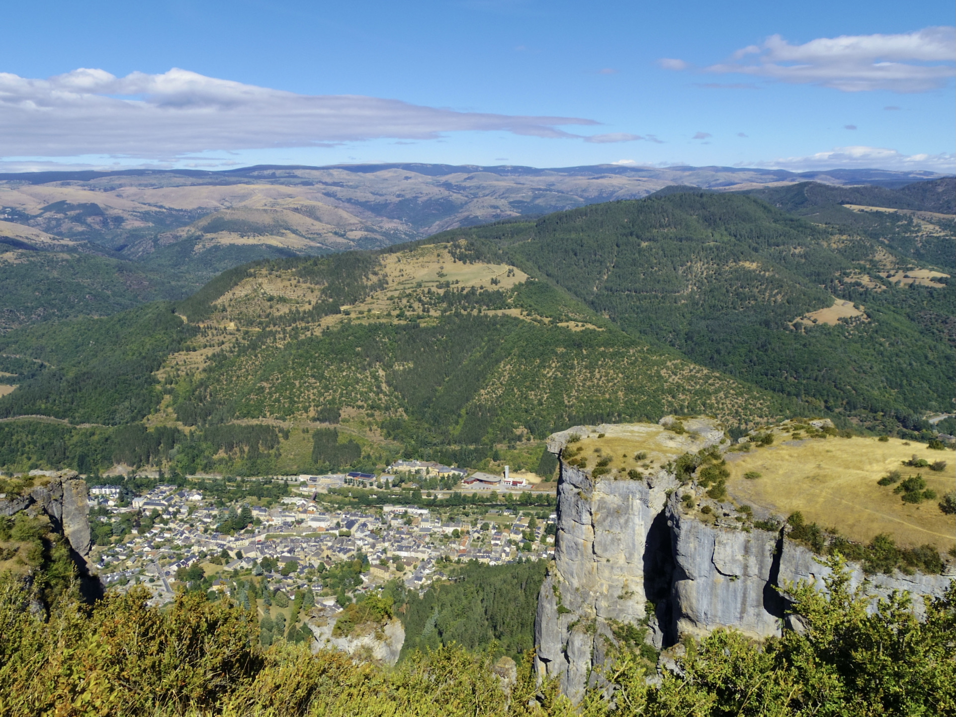
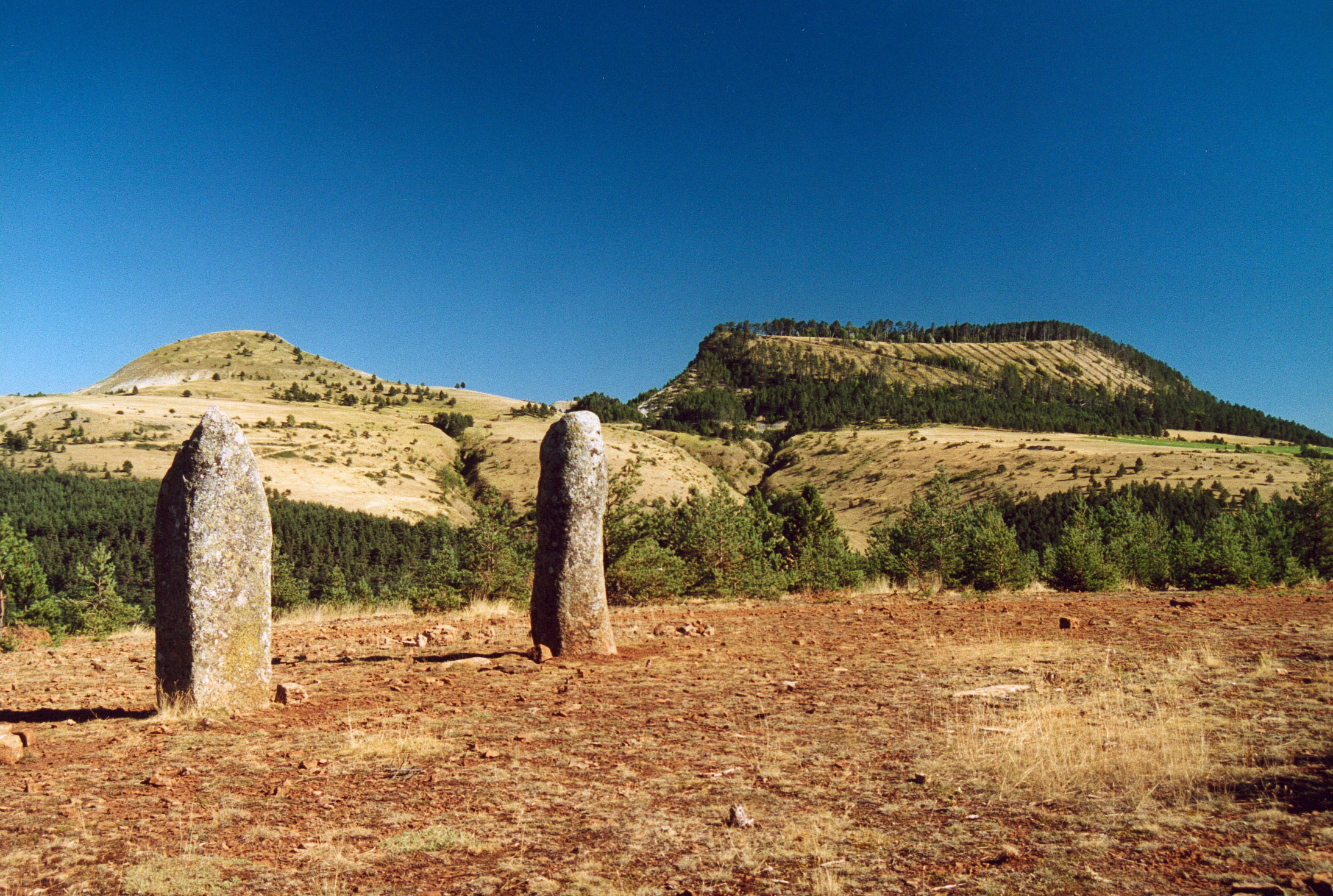
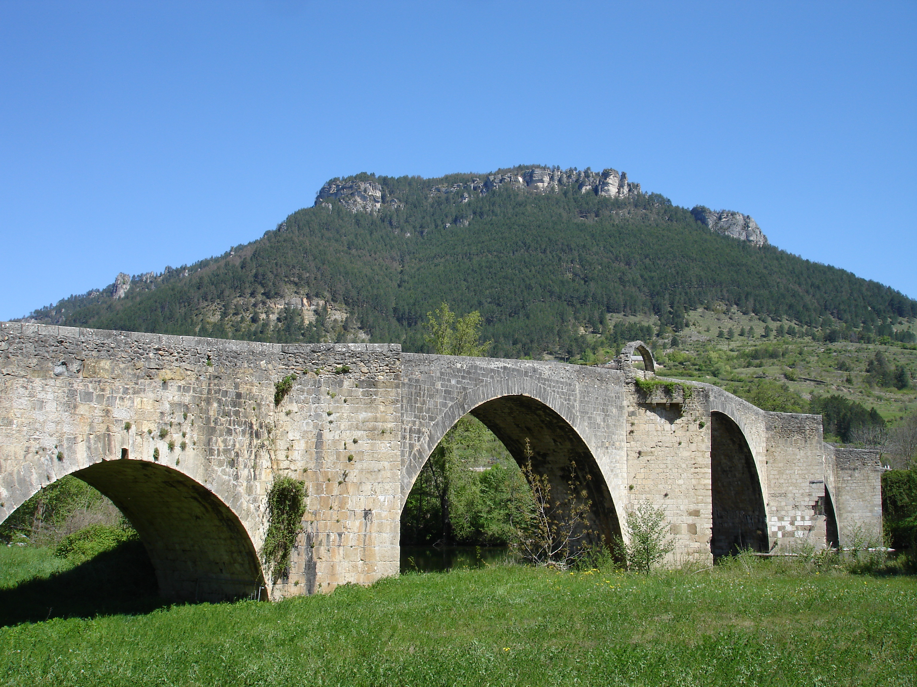
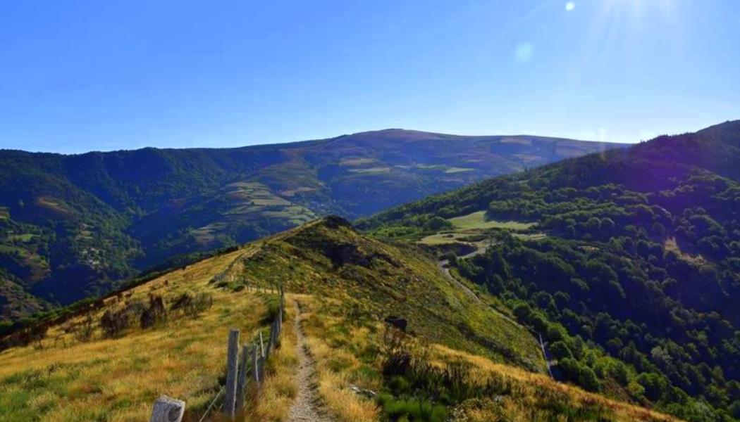
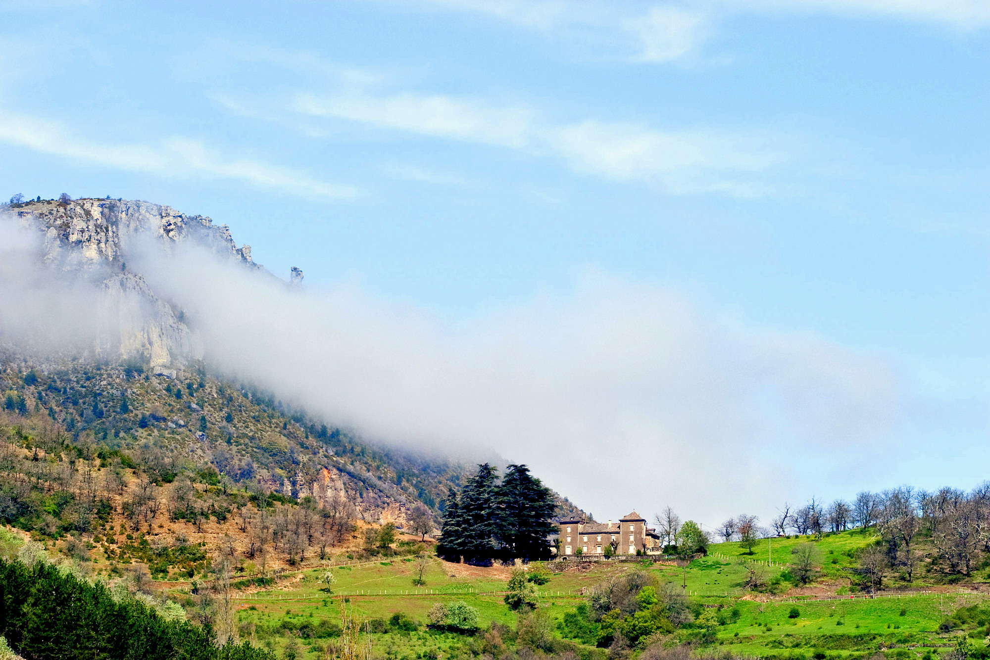
The start of this beautiful hike is near Florac. The route loops through small hamlets and cuts through beautiful meadows. It also offers pretty views of Florac and the cliffs of the Causse Méjean.

Already more than 200,000 users!
Uphill
205m
Highest point
706m
Downhill
205m
Lowest point
527m
Route type
Loop
Download the map on your smartphone to save battery and rest assured to always keep access to the route, even without signal.
Includes IGN France and Swisstopo.
I indicate whether dogs are allowed or prohibited on this trail
All year
0 ratings
Also enjoy:

Already more than 200,000 users!