Uphill
610m
Length
14km
Duration
5h
Elev gain
610m
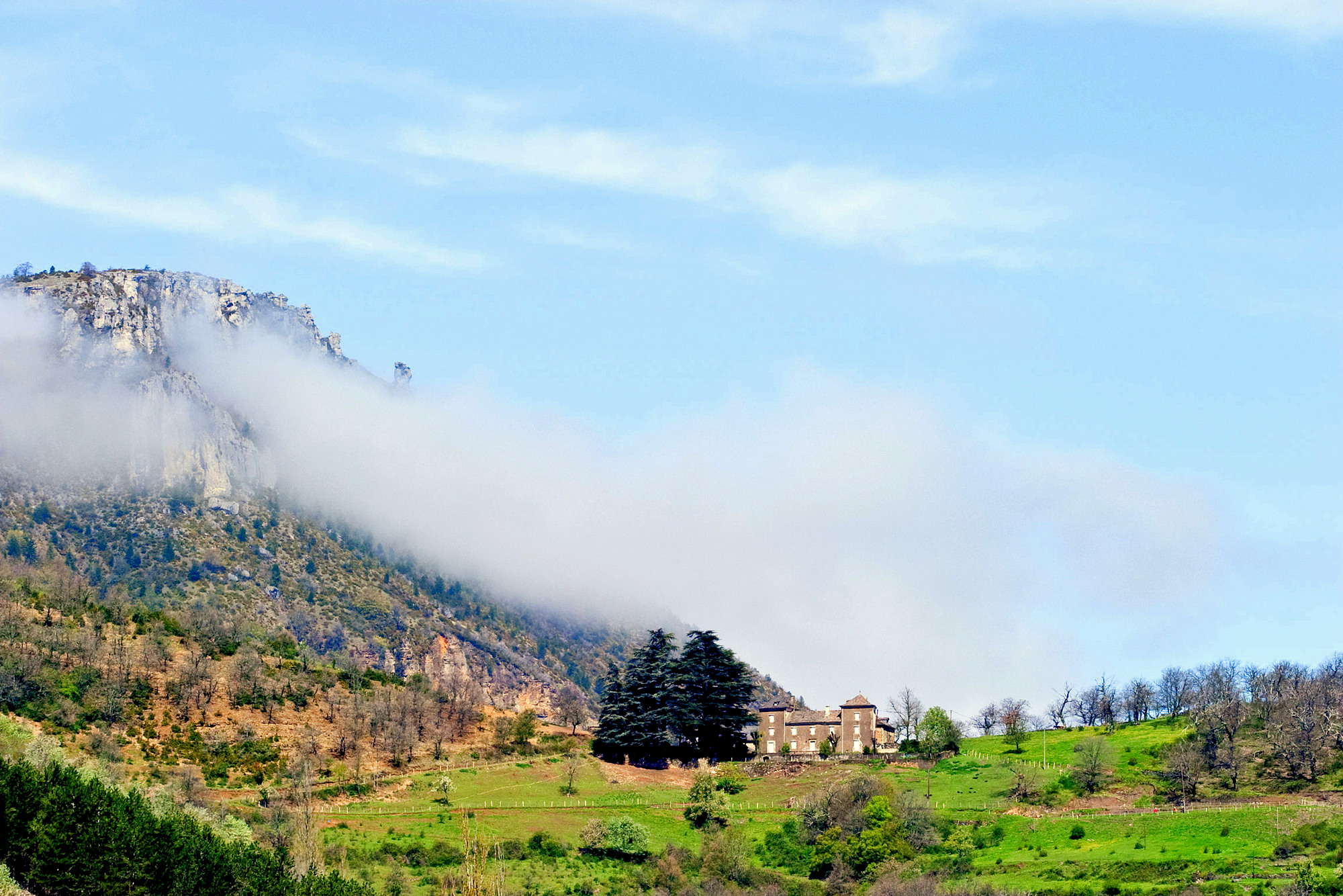
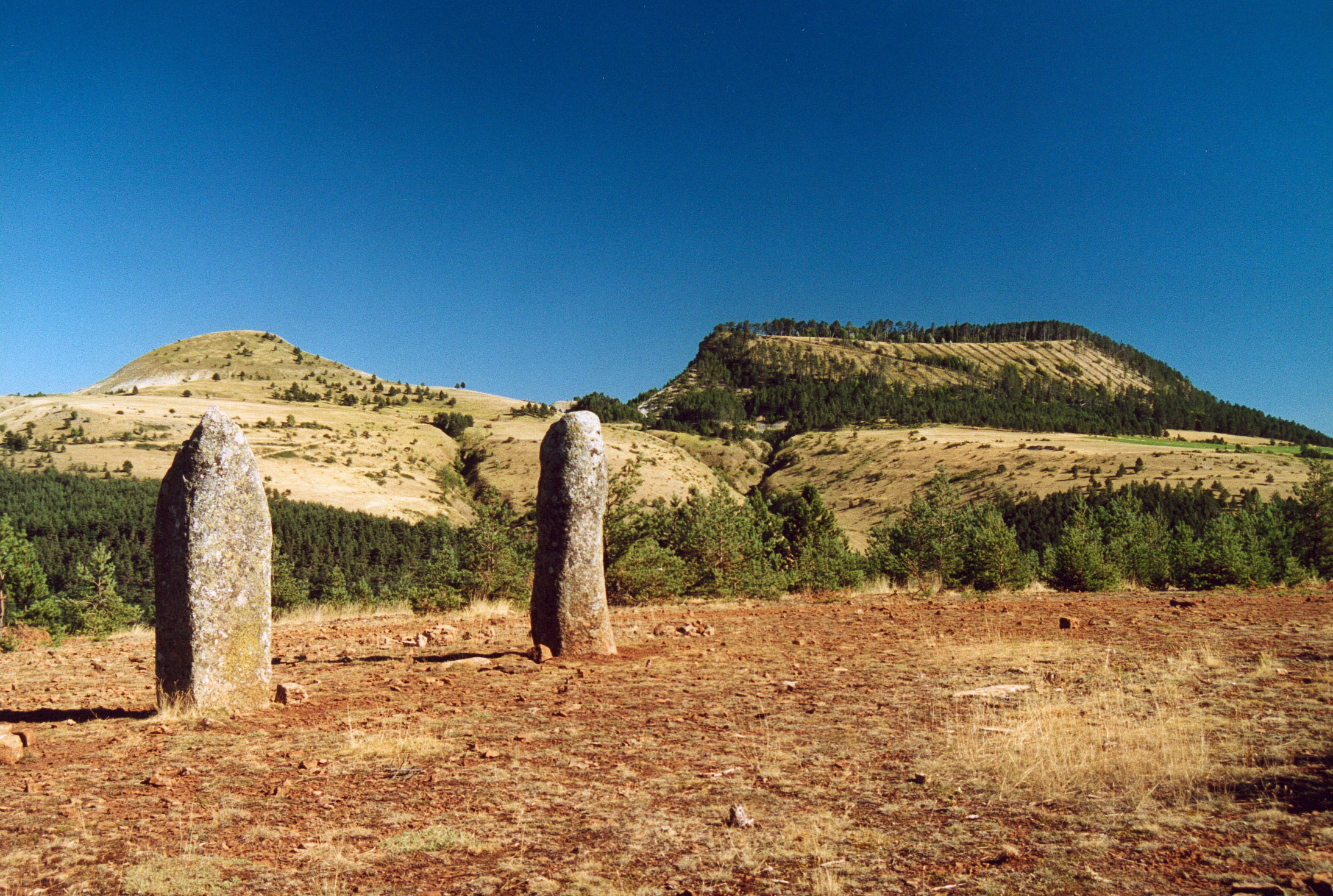
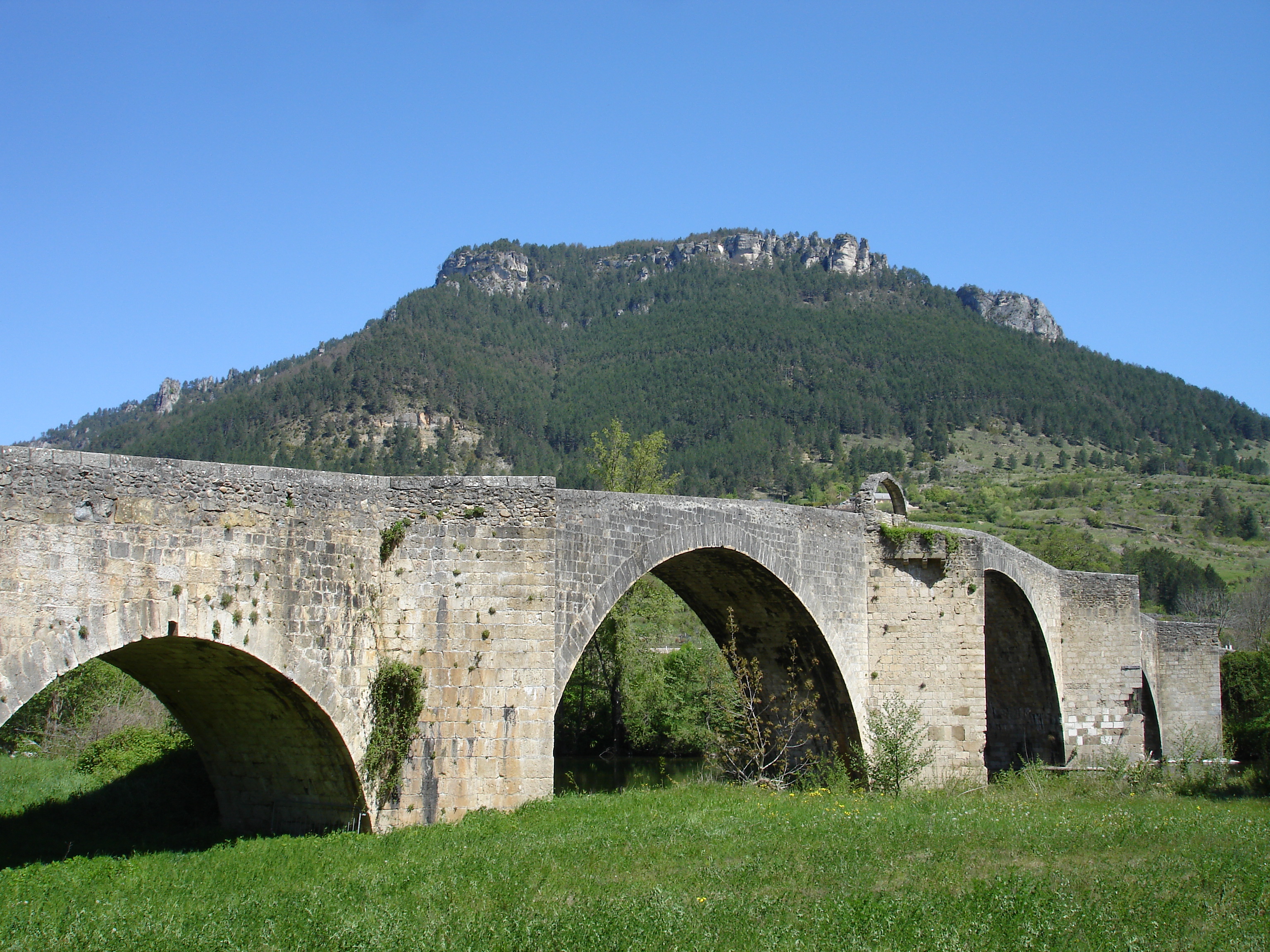
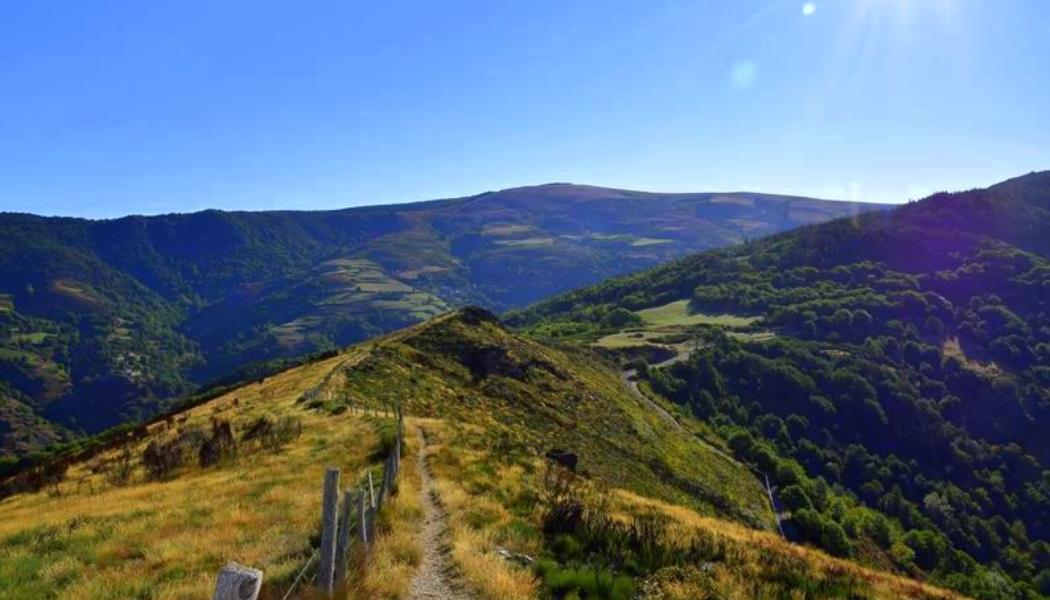
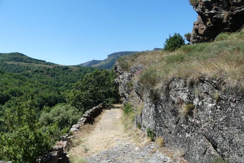
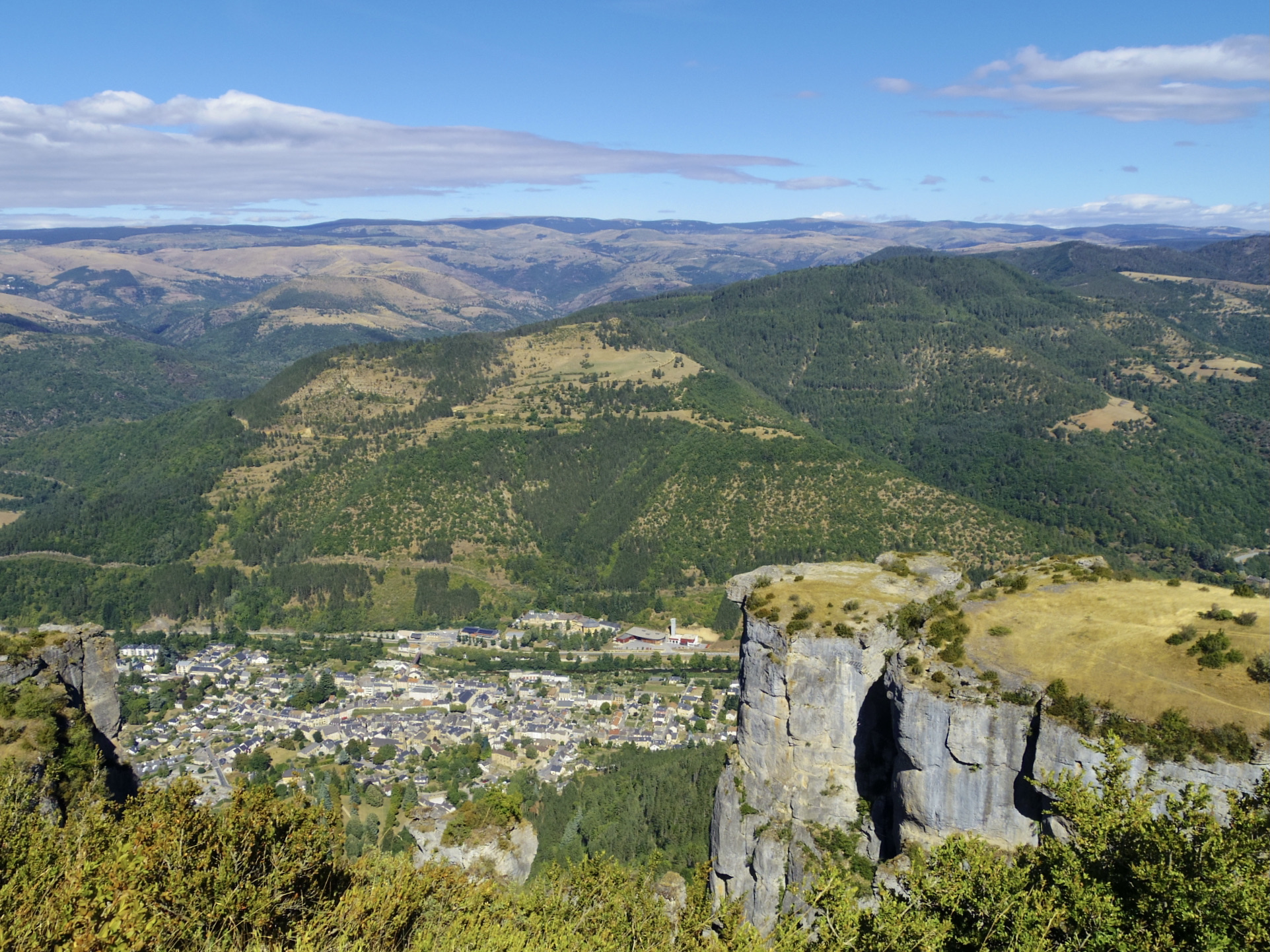
Departing from Florac, this hike leads under the Causse Méjean and overlooks the Florac valley. The route sets out to discover the spectacular dolomitic rocks, also called the "crowns". In the distance, you can see the Cévennes and Mount Lozère which seems never to stop. Stunning!

Already more than 200,000 users!
Uphill
610m
Highest point
1112m
Downhill
610m
Lowest point
543m
Route type
Loop
Download the map on your smartphone to save battery and rest assured to always keep access to the route, even without signal.
Includes IGN France and Swisstopo.
I indicate whether dogs are allowed or prohibited on this trail
All year
1 rating
Attention, route du pradal fermée au public donc détour obligatoire
Also enjoy:

Already more than 200,000 users!