Uphill
284m
Length
9km
Duration
3h
Elev gain
284m
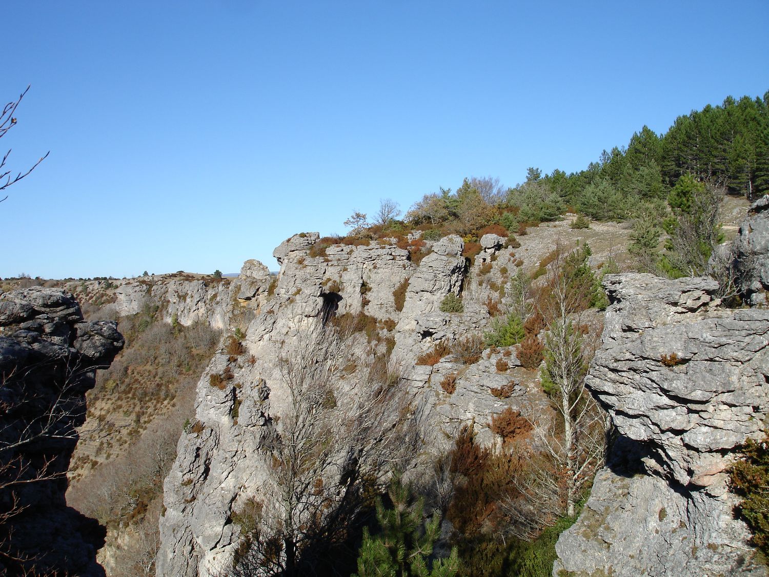
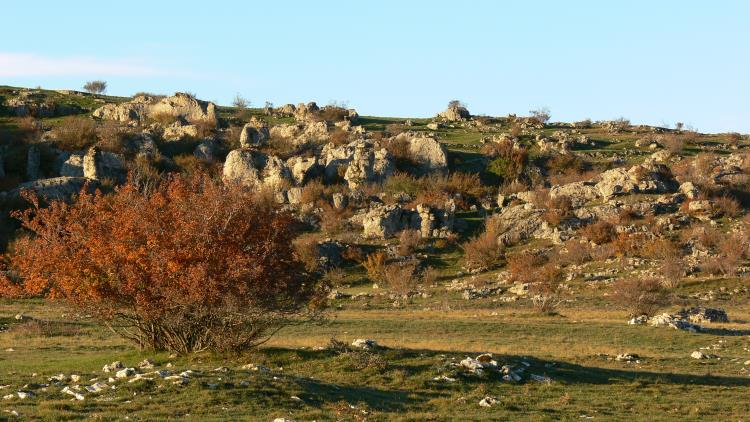
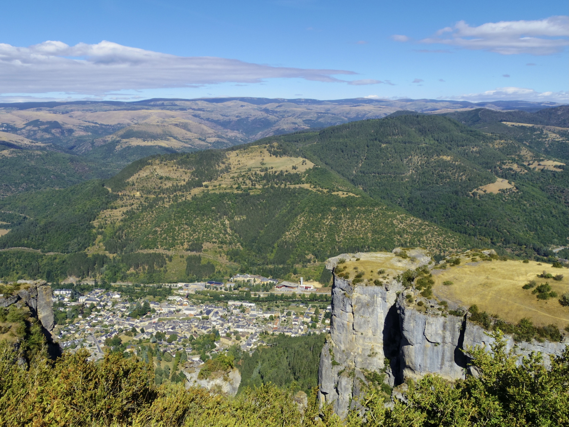
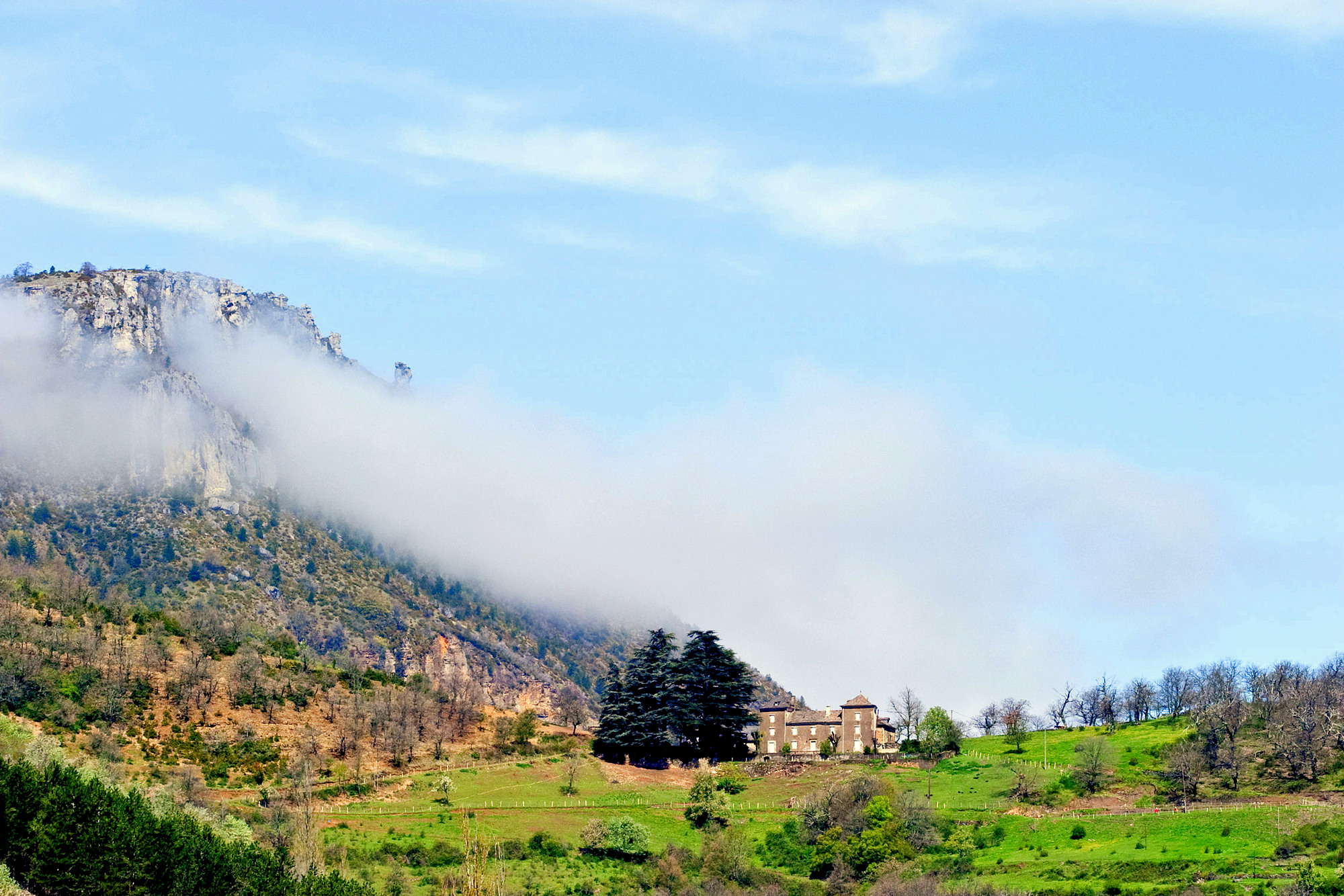
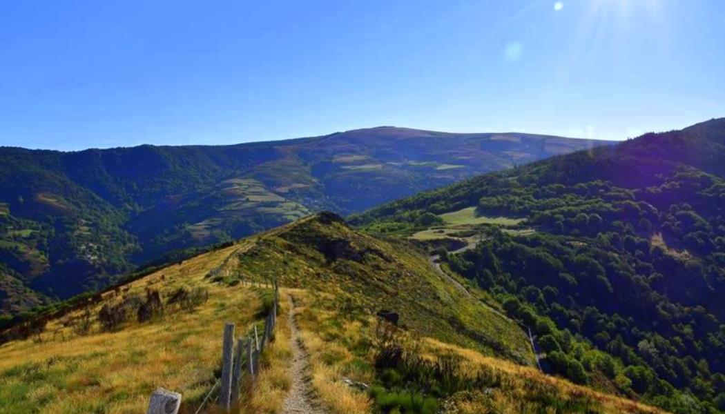
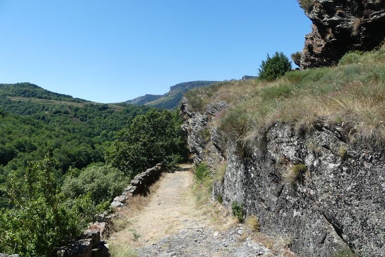
Departing from Vebron, a small typical Cévennes village, this walk makes a loop in the heart of the Tarnon valley. The shady path passes by the ruins of the hamlet of Broussous as well as the village of Vanels, and runs along several rivers.

Already more than 200,000 users!
Uphill
284m
Highest point
897m
Downhill
284m
Lowest point
627m
Route type
Loop
Download the map on your smartphone to save battery and rest assured to always keep access to the route, even without signal.
Includes IGN France and Swisstopo.
2 ratings
Jolie balade dans les bois , donc peu de point de vue mais baignade à l’arrivée 👍😁
Also enjoy:

Already more than 200,000 users!