Uphill
385m
Length
9km
Duration
3h30min
Elev gain
385m
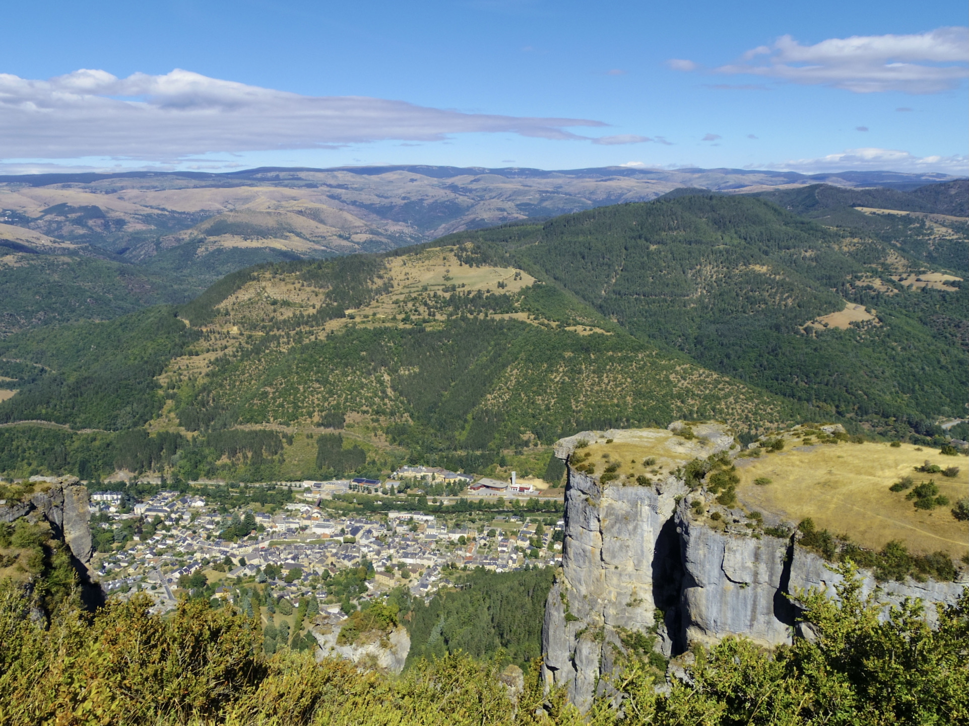
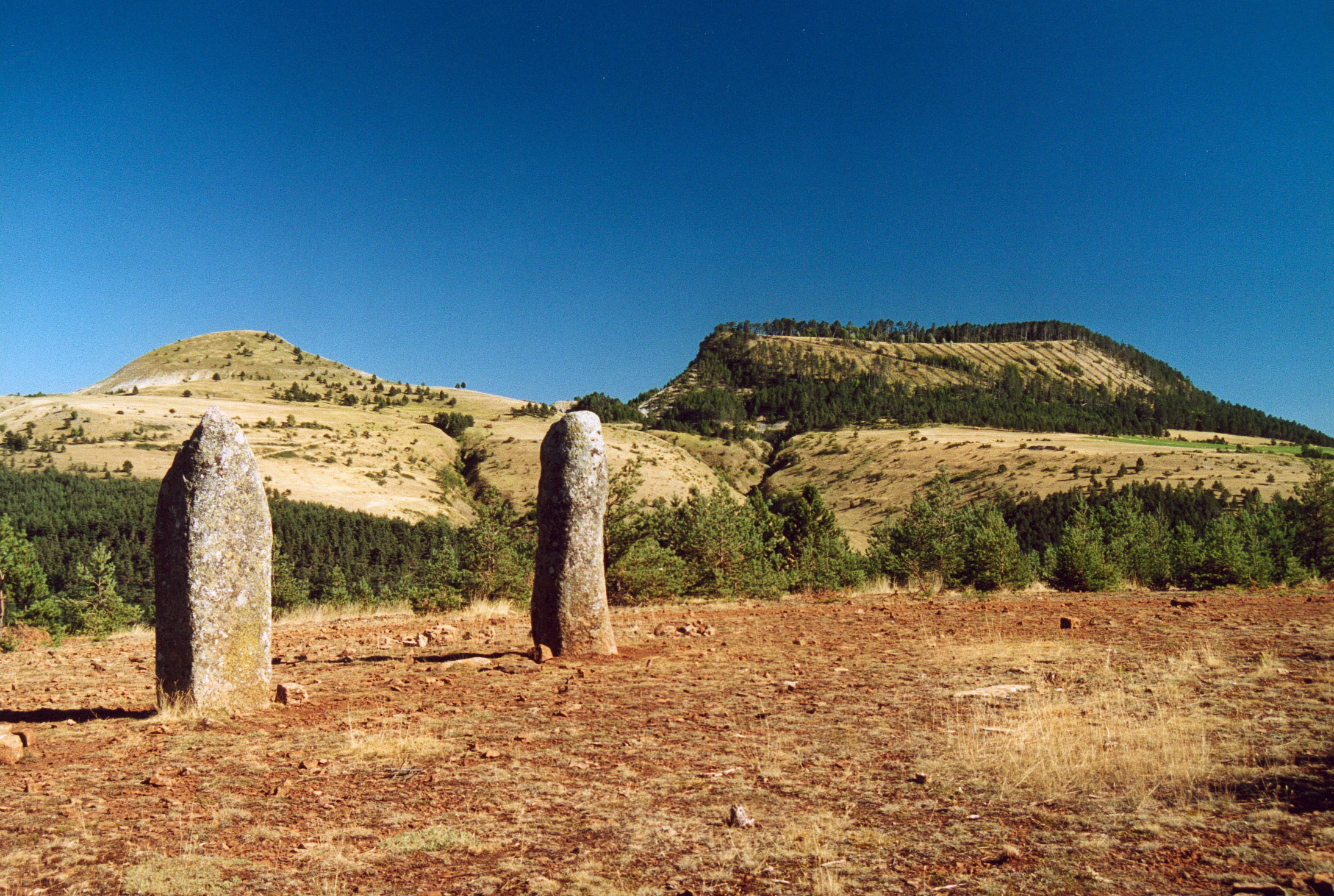
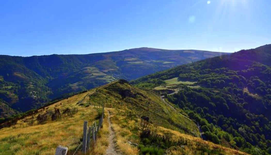
This pretty walk begins under the temple of Saint-Julien-d'Arpaon. The route starts by climbing to reach a ridge, offering a splendid view of the Cévennes. Then, you have to take the direction of the hamlet of Bougès then cross it before following the Mimente river to return to the starting point.

Already more than 200,000 users!
Uphill
385m
Highest point
962m
Downhill
385m
Lowest point
607m
Route type
Loop
Download the map on your smartphone to save battery and rest assured to always keep access to the route, even without signal.
Includes IGN France and Swisstopo.
I indicate whether dogs are allowed or prohibited on this trail
All year
3 ratings
Also enjoy:

Already more than 200,000 users!