Uphill
401m
Length
14km
Duration
4h30min
Elev gain
401m
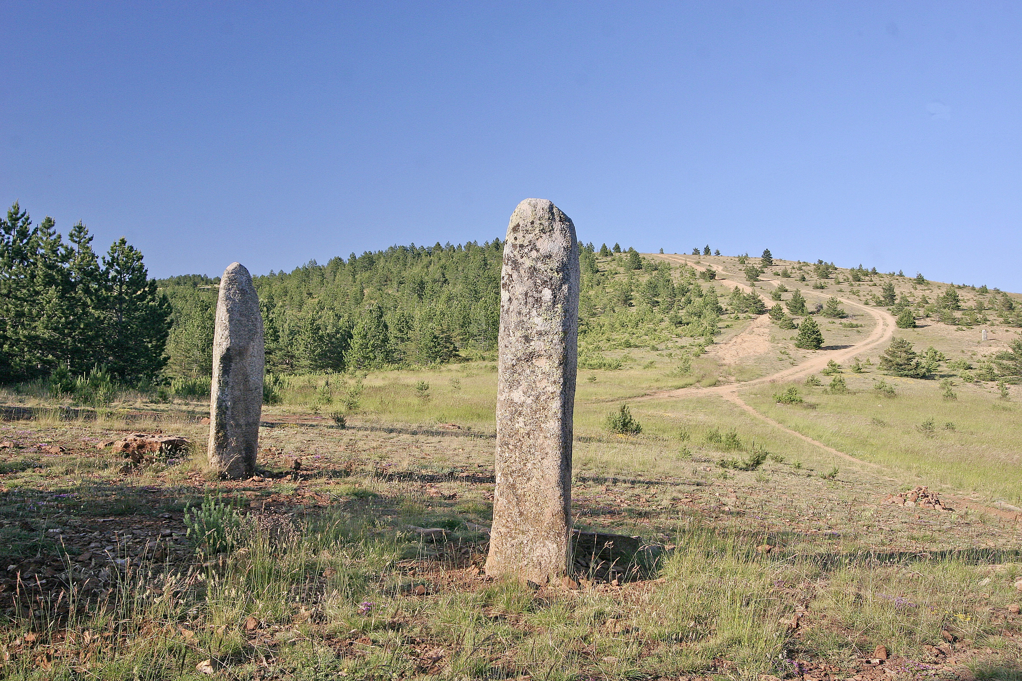
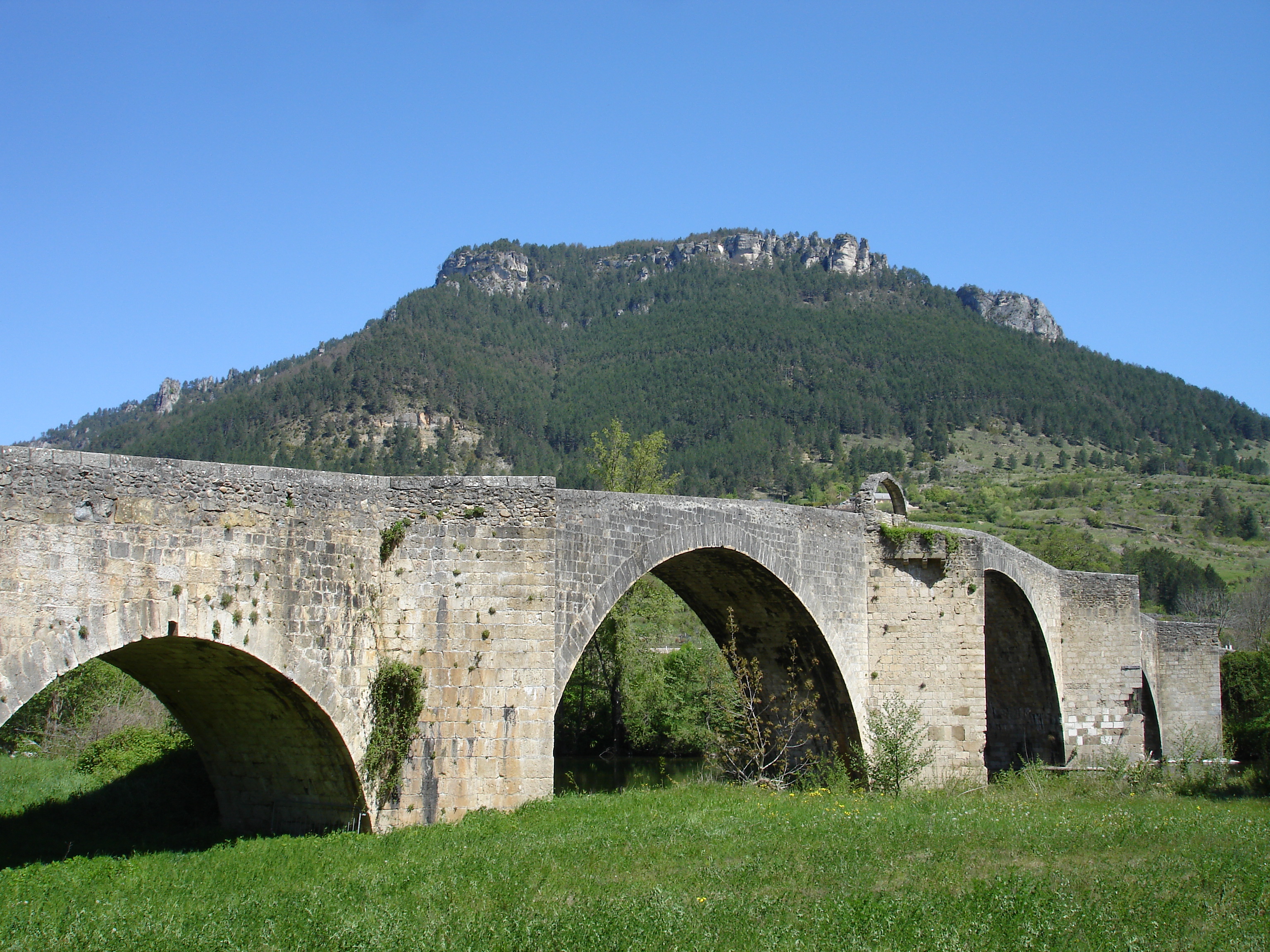
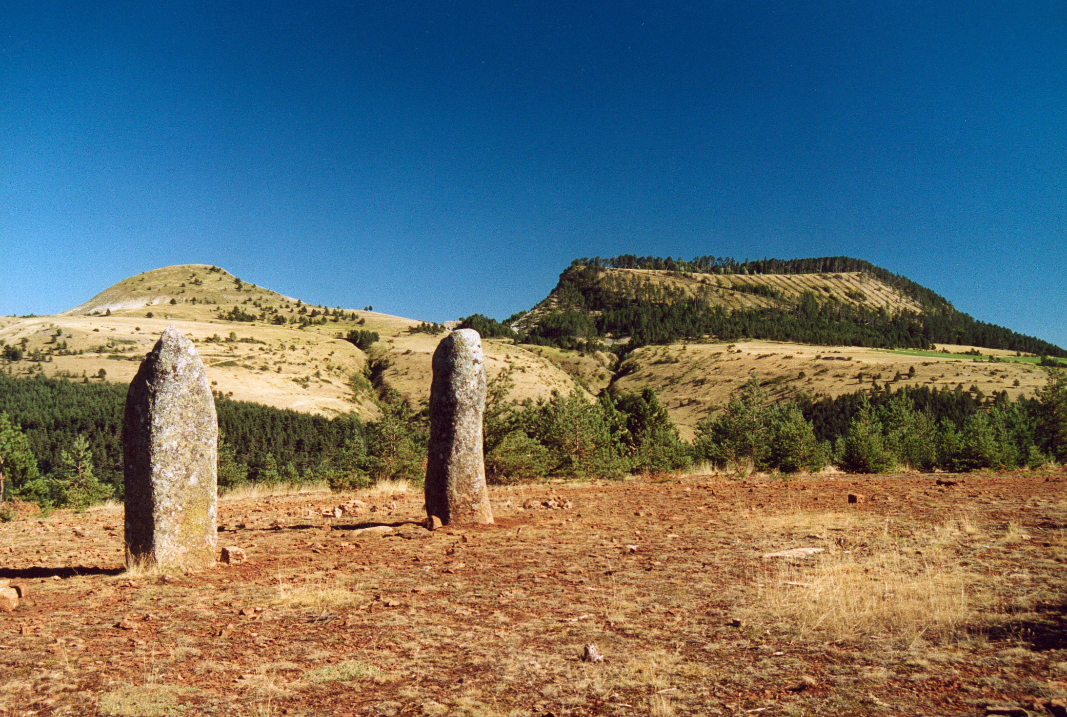
Starting from the village of Bondons, this path winds through green meadows and small streams, and offers superb views of the surroundings, including the puechs of Bondons. This walk also owes its name to the many menhirs visible on its route.

Already more than 200,000 users!
Uphill
401m
Highest point
1244m
Downhill
401m
Lowest point
913m
Route type
Loop
Download the map on your smartphone to save battery and rest assured to always keep access to the route, even without signal.
Includes IGN France and Swisstopo.
I indicate whether dogs are allowed or prohibited on this trail
Can be difficult in Winter
1 rating
Sentier parfois très mal indiqué, mais les points de vue sont splendides
Attention, le parcours est dégagé donc tout au soleil 😉
Also enjoy:

Already more than 200,000 users!