Uphill
259m
Length
8km
Duration
2h30min
Elev gain
259m
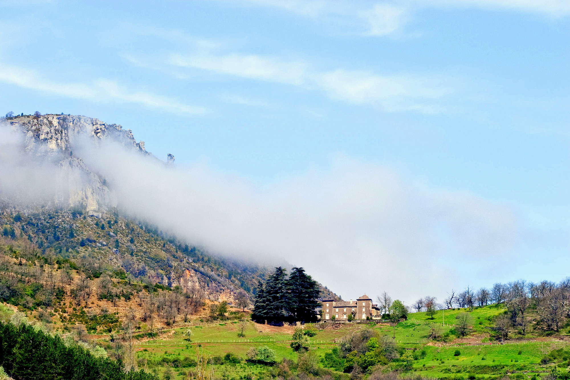
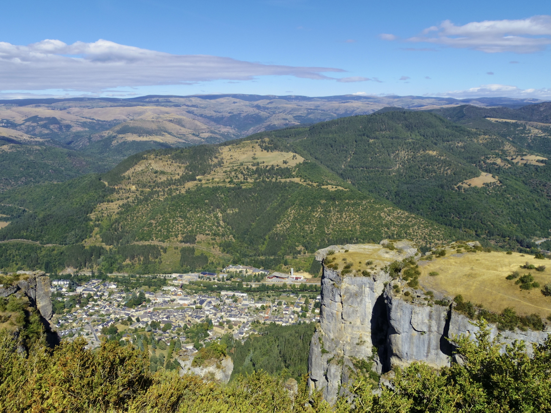
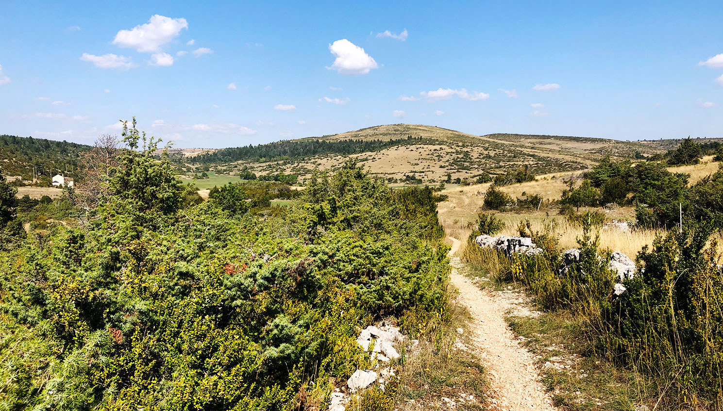
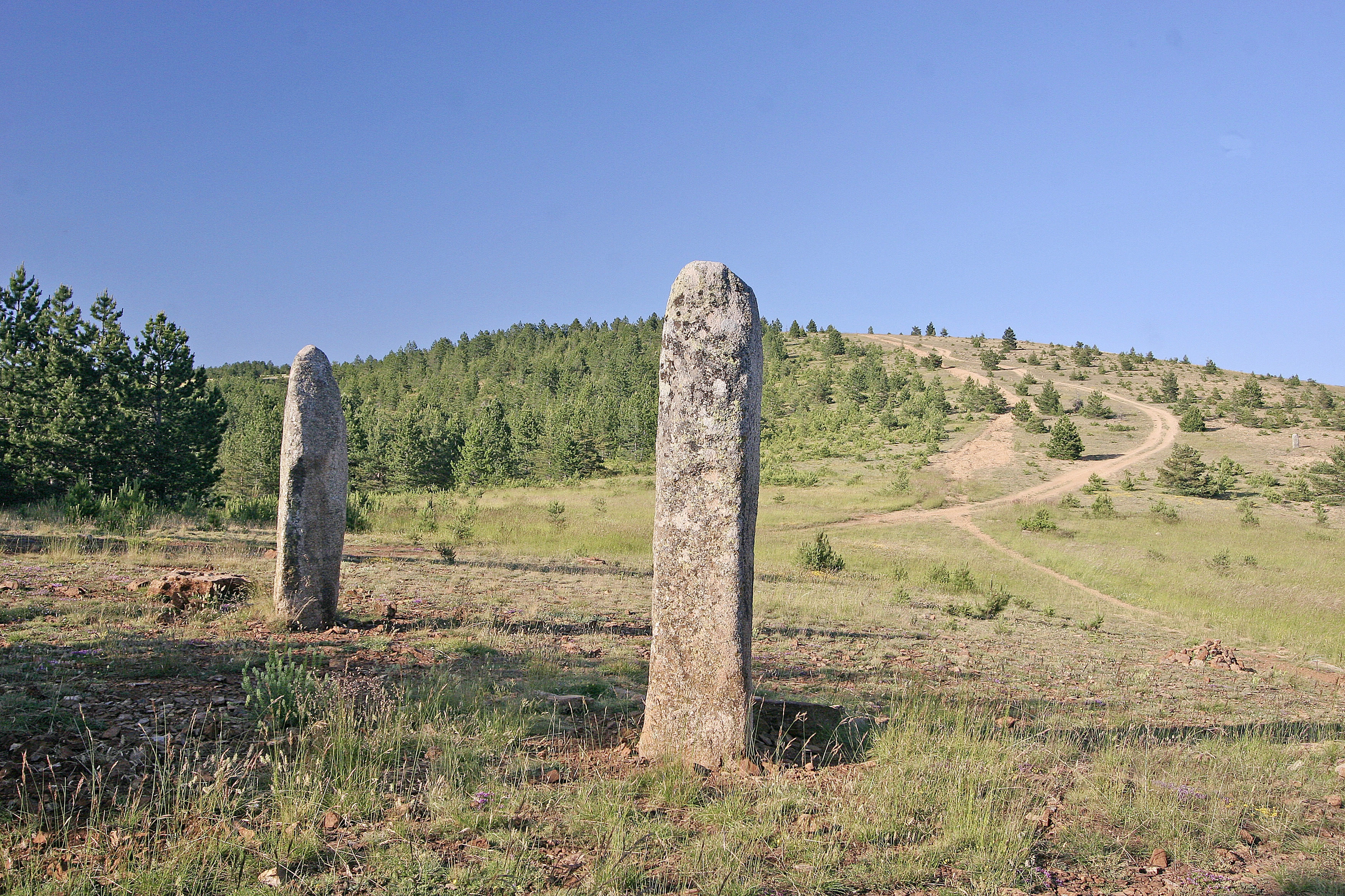
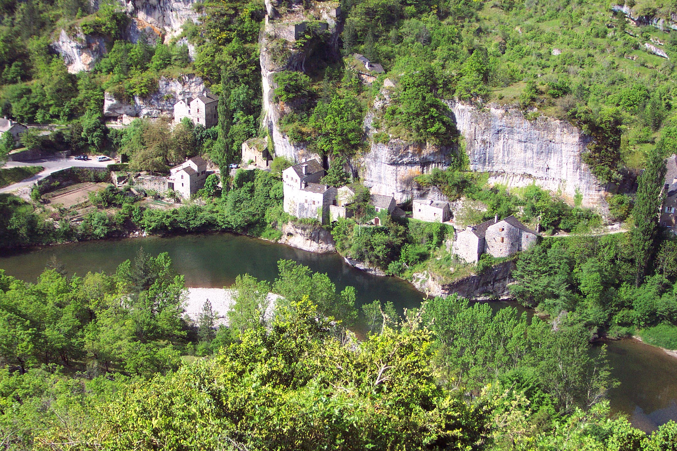
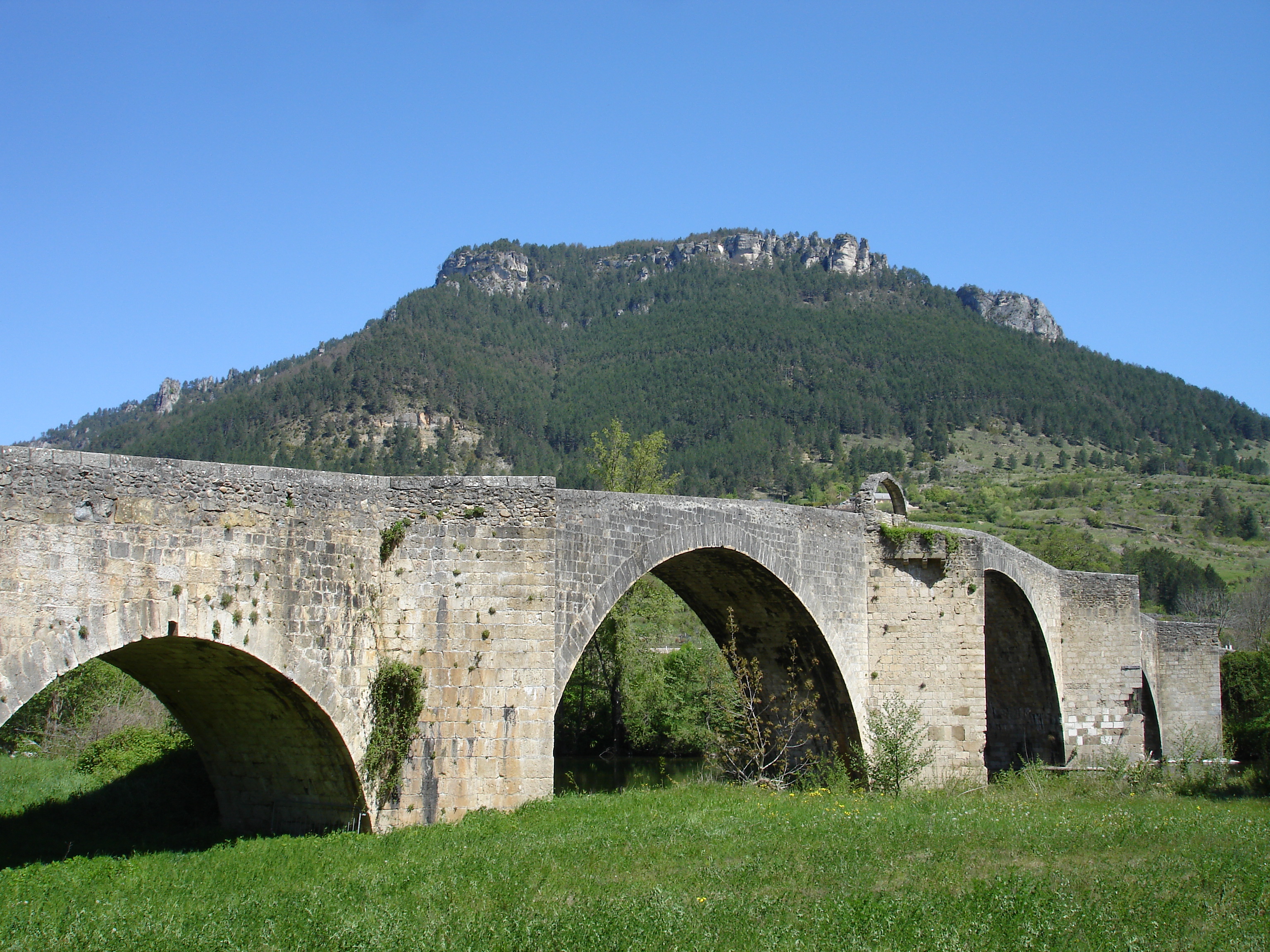
Here is a pretty hike that leads through a vast chestnut grove. From the medieval bridge of Ispagnac to the prestigious ogival bridge of Quézal, this route sets out to discover the different facets of the valley that the ancients once called "the gardens of Lozère".

Already more than 200,000 users!
Uphill
259m
Highest point
745m
Downhill
259m
Lowest point
494m
Route type
Loop
Download the map on your smartphone to save battery and rest assured to always keep access to the route, even without signal.
Includes IGN France and Swisstopo.
I indicate whether dogs are allowed or prohibited on this trail
All year
1 rating
Petit tour sympa , pas tjs évident de trouver le bon chemin mais cool 👍😁
Also enjoy:

Already more than 200,000 users!