Uphill
170m
Length
6km
Duration
2h
Elev gain
170m
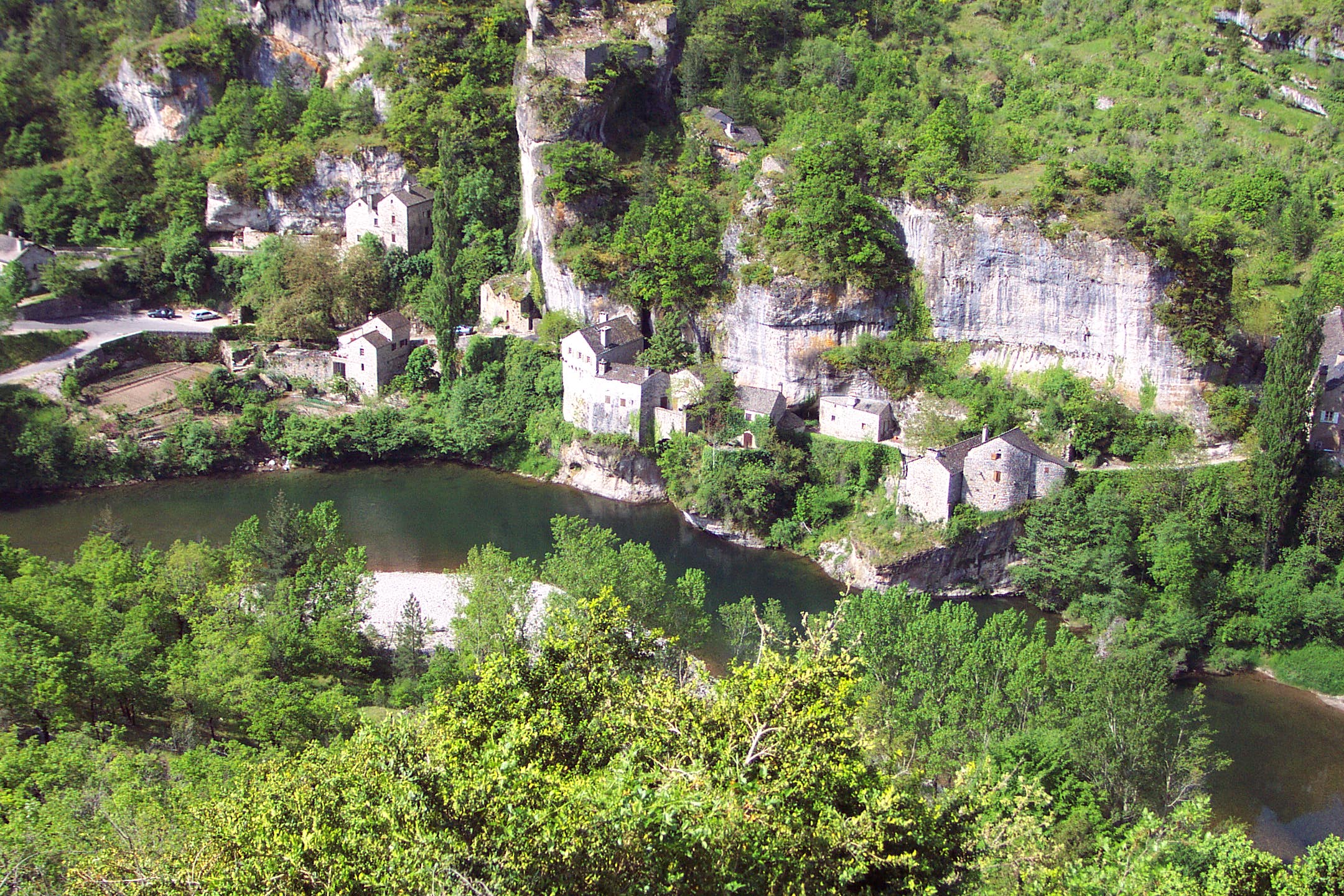
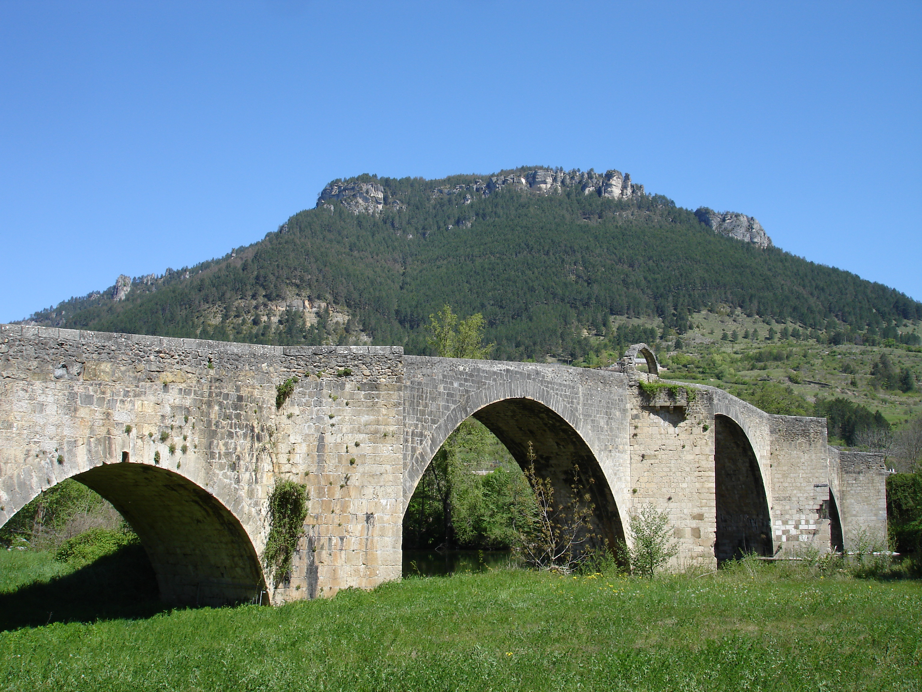
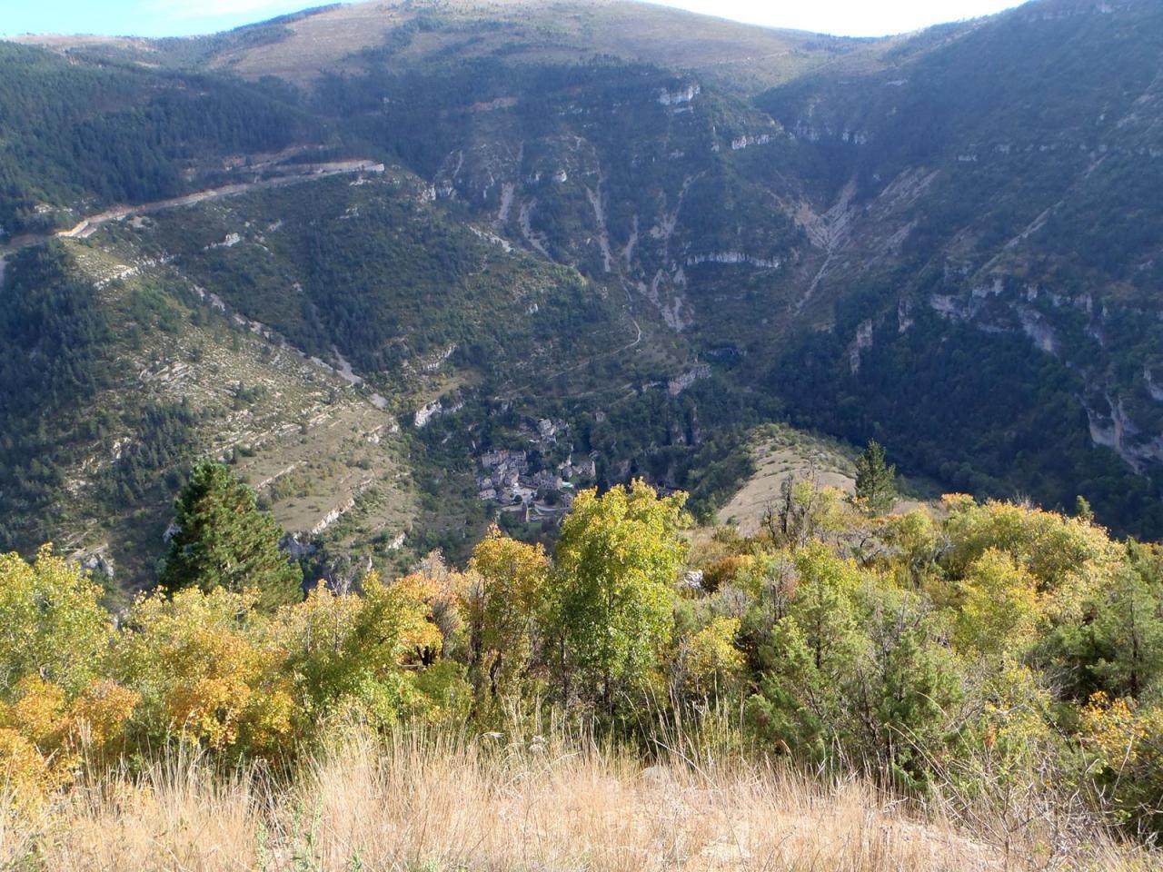
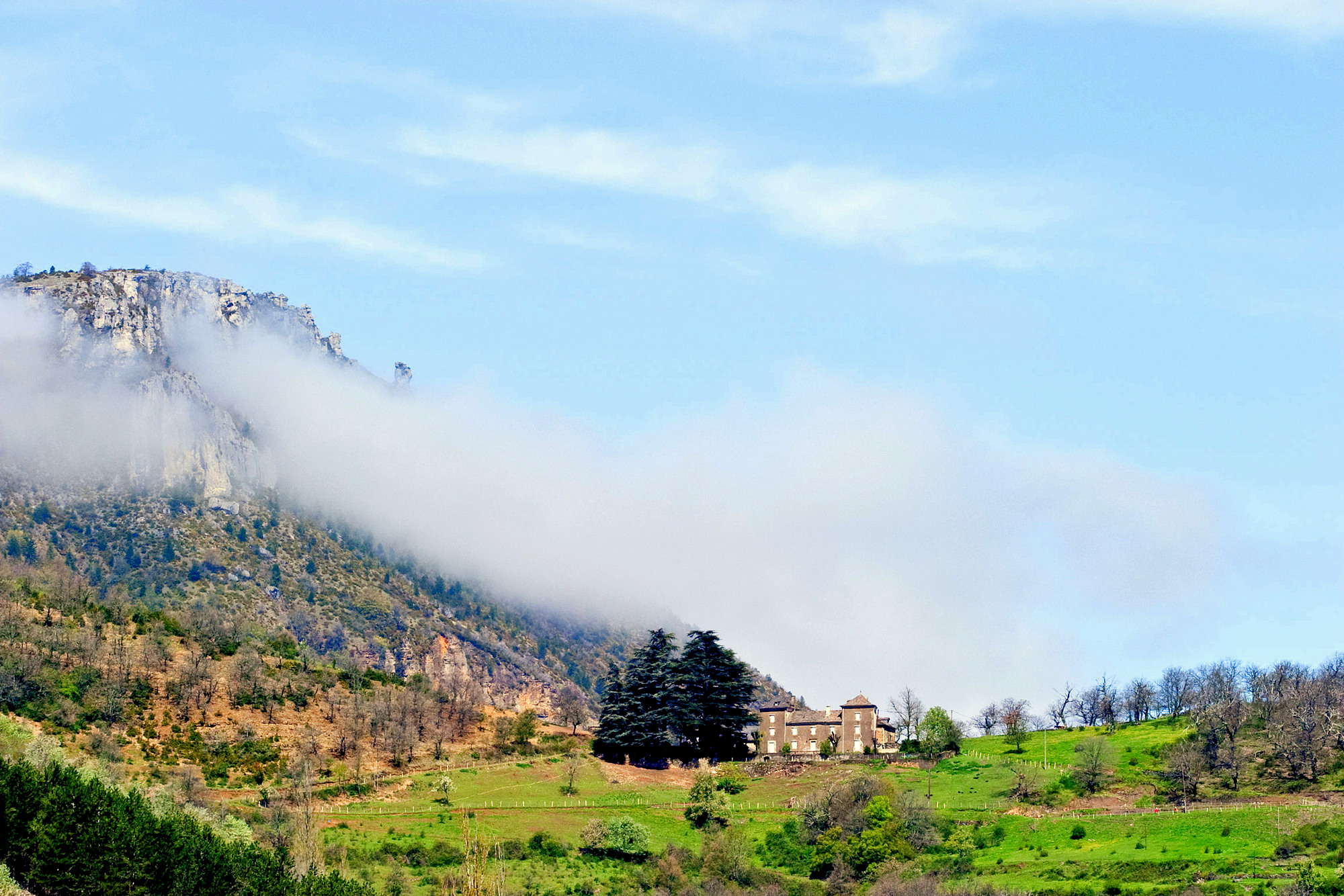
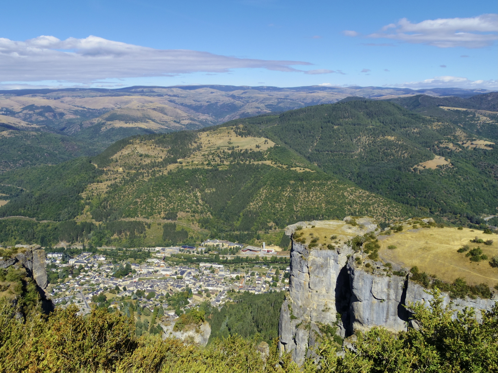
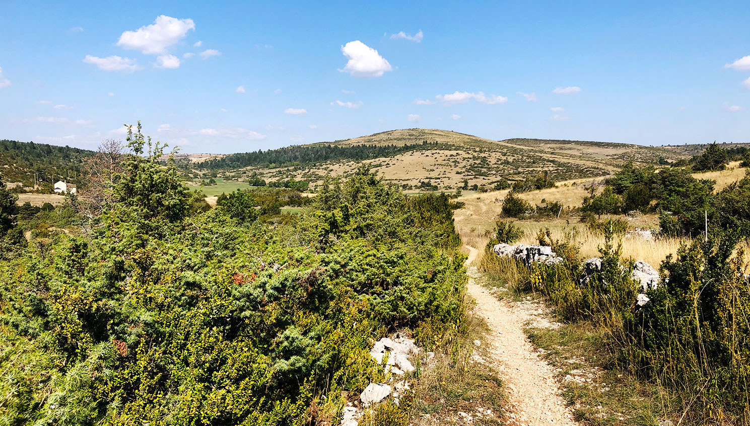
Leaving from Nissoulogres, this hike is very pleasant. The course makes a loop and offers superb panoramas on the gorges of the Tarn, then on the moor and pretty forests of fir trees.

Already more than 200,000 users!
Uphill
170m
Highest point
984m
Downhill
170m
Lowest point
823m
Route type
Loop
Download the map on your smartphone to save battery and rest assured to always keep access to the route, even without signal.
Includes IGN France and Swisstopo.
I indicate whether dogs are allowed or prohibited on this trail
All year
0 ratings
Also enjoy:

Already more than 200,000 users!