Uphill
425m

France > Occitanie > Tarn > Haut-Languedoc Nature Park
Length
10km
Duration
3h30min
Elev gain
425m
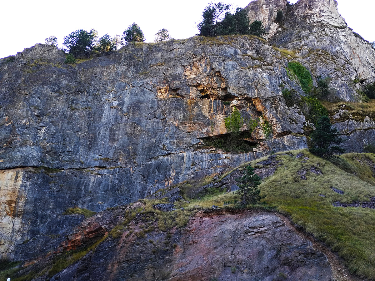
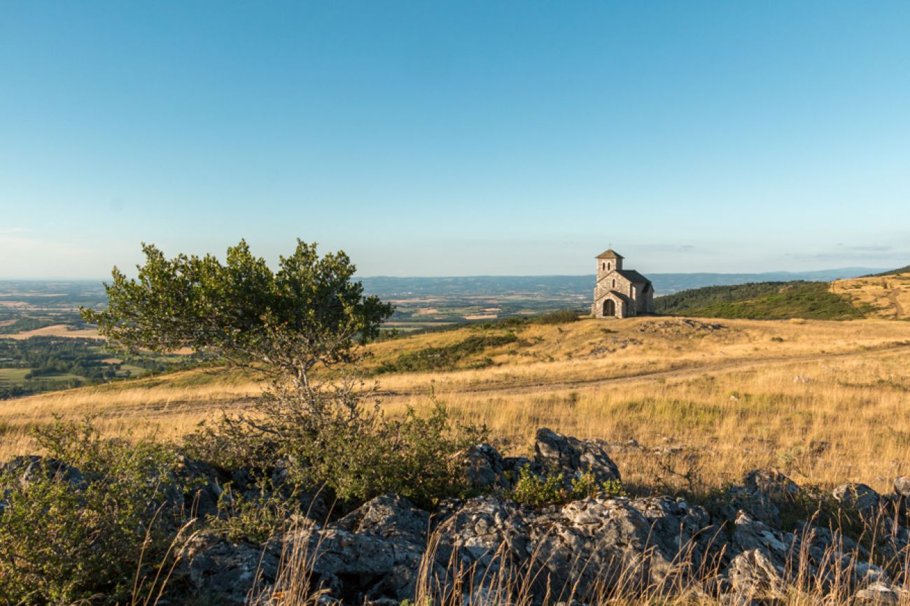
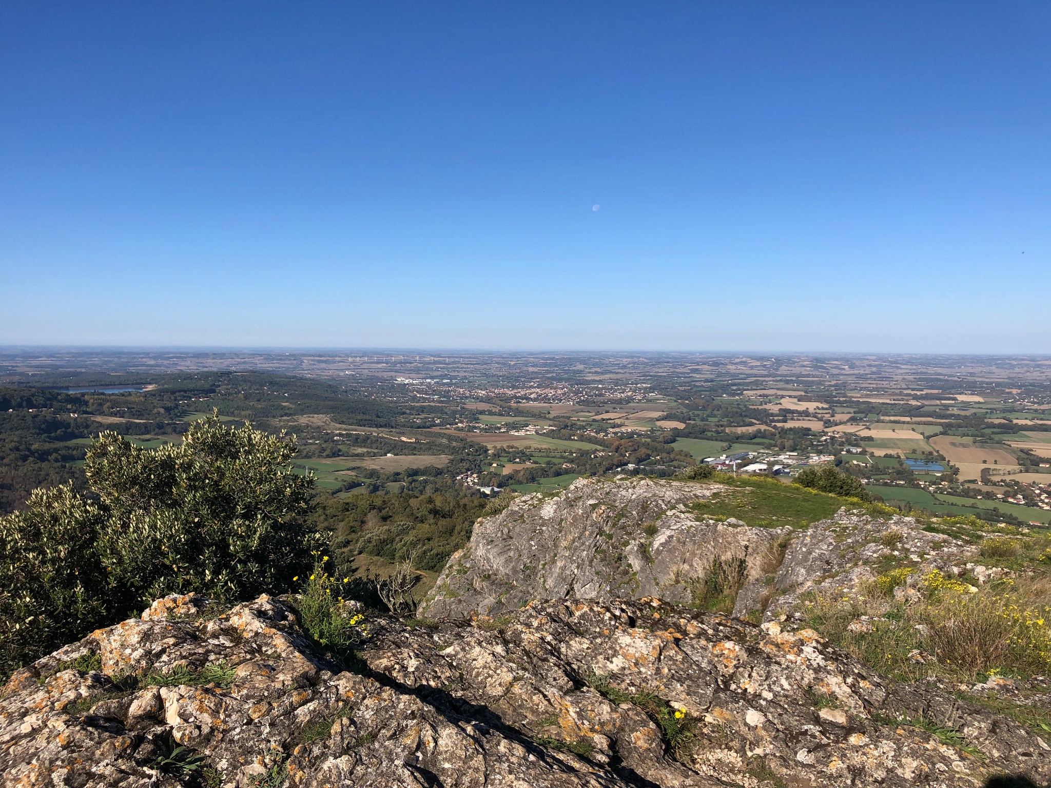
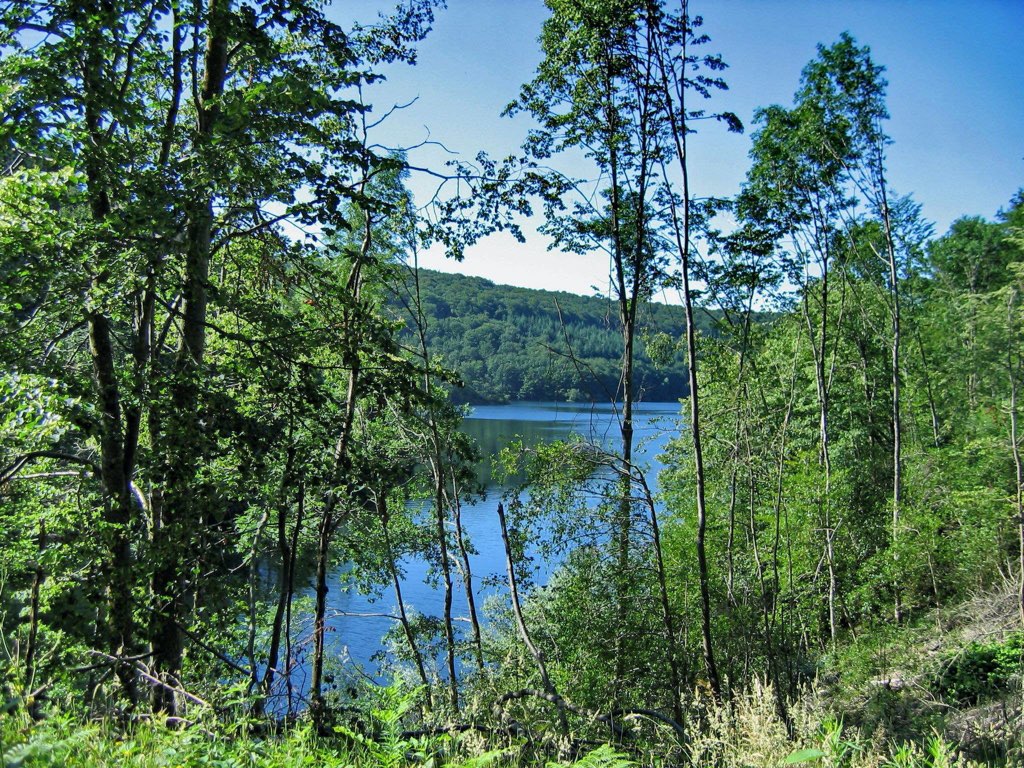
Beginning in the village of Dourgne, this walk alternates between undergrowth and meadows, and offers beautiful views. It also passes by the charming chapel of Saint-Férréol.

Already more than 200,000 users!
Uphill
425m
Highest point
583m
Downhill
425m
Lowest point
242m
Route type
Loop
Download the map on your smartphone to save battery and rest assured to always keep access to the route, even without signal.
Includes IGN France and Swisstopo.
I indicate whether dogs are allowed or prohibited on this trail
All year
1 rating
Also enjoy:

Already more than 200,000 users!