Uphill
288m
Length
7km
Duration
2h30min
Elev gain
288m
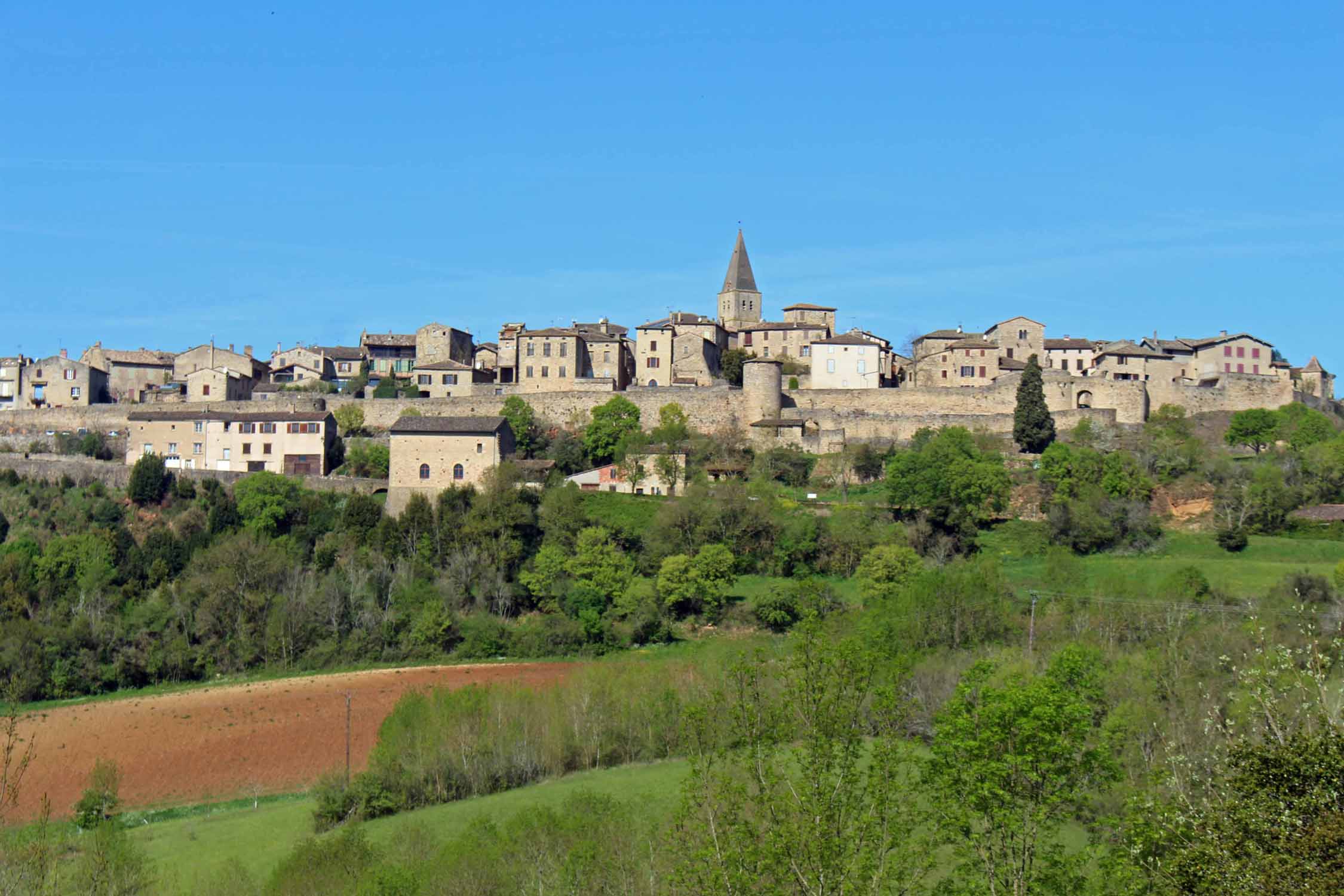
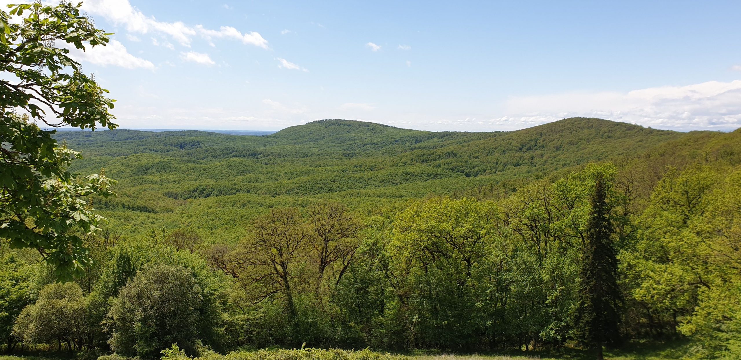
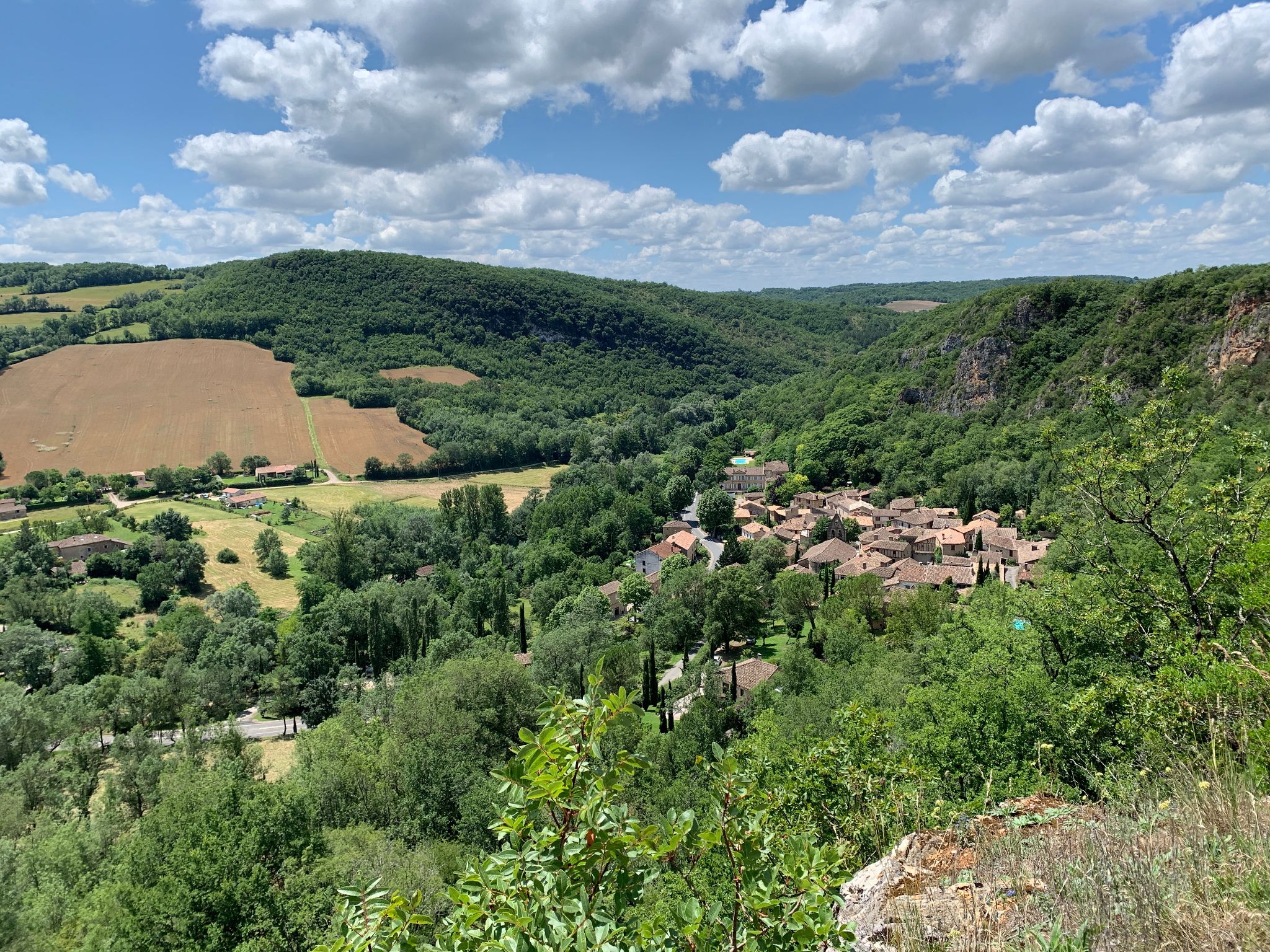
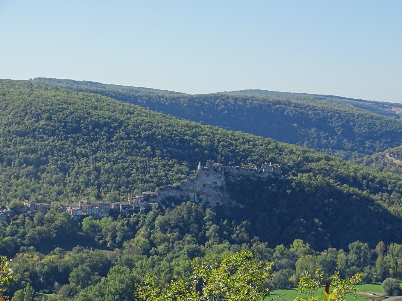
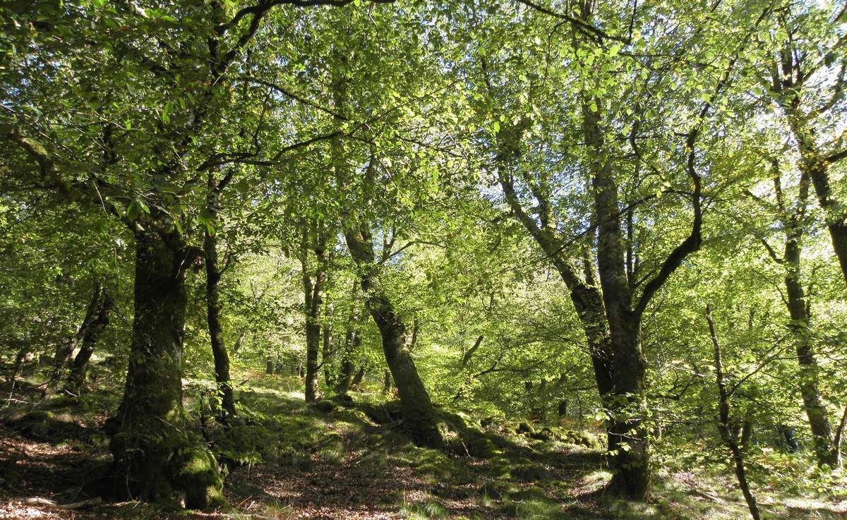
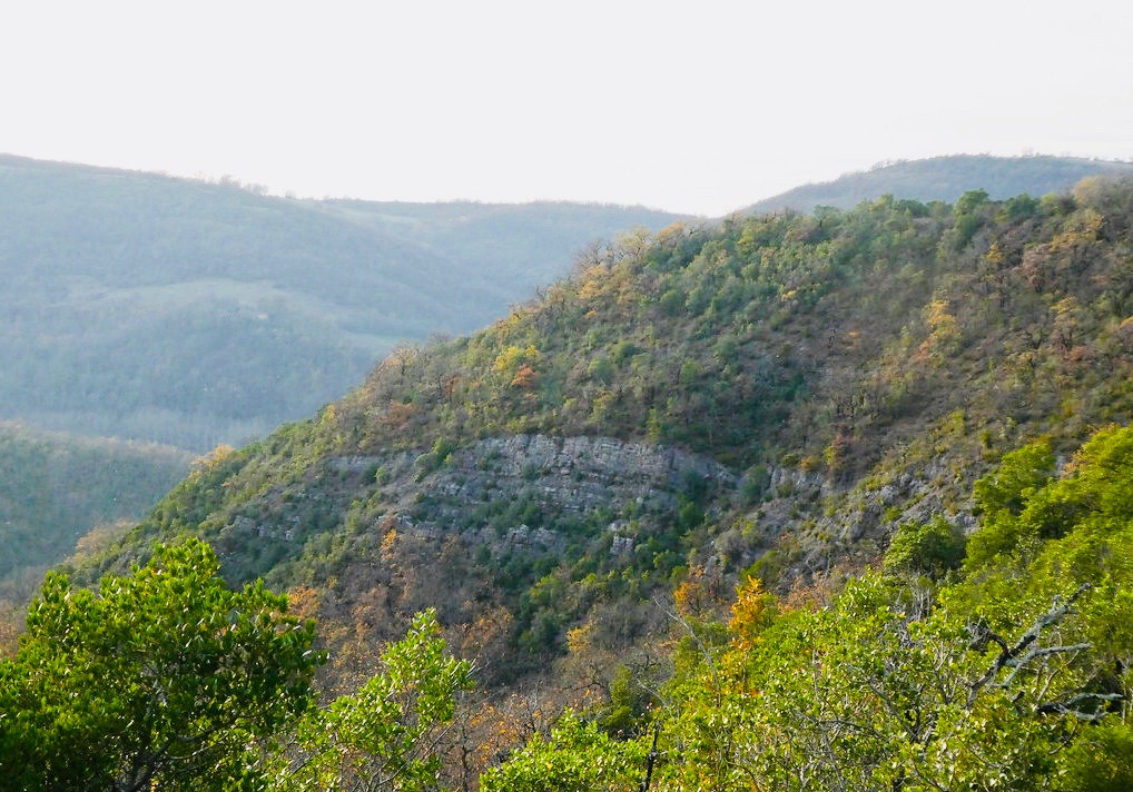
This hike starts south of Bruniquel, in Marières. The loop route passes through the cave of Mayrière, the Garouilletos, then through the pech Trégon. The landscapes and the many views of the surroundings are superb.

Already more than 200,000 users!
Uphill
288m
Highest point
366m
Downhill
288m
Lowest point
114m
Route type
Loop
Download the map on your smartphone to save battery and rest assured to always keep access to the route, even without signal.
Includes IGN France and Swisstopo.
I indicate whether dogs are allowed or prohibited on this trail
All year
0 ratings
Also enjoy:

Already more than 200,000 users!