Uphill
247m
Length
6km
Duration
2h
Elev gain
247m
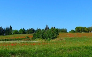
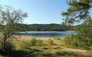
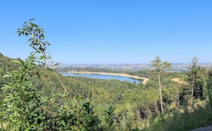
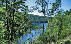
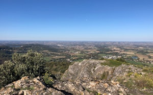
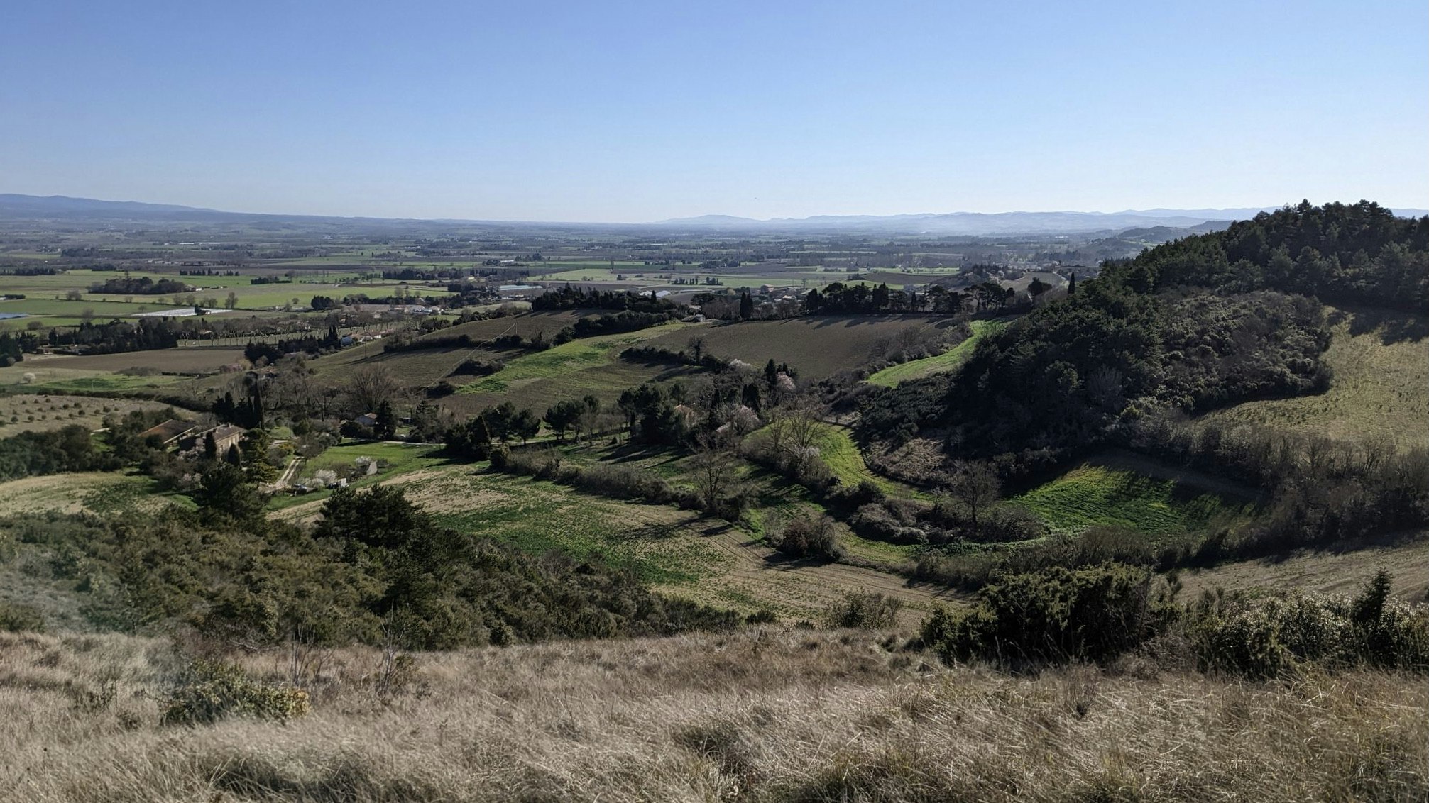
Starting from the village of Fendeille, this walk makes a loop around the pech Haut. The path takes a little height in order to offer pretty views of Fendeille and its surroundings.

Already more than 200,000 users!
Uphill
247m
Highest point
313m
Downhill
247m
Lowest point
201m
Route type
Loop
Download the map on your smartphone to save battery and rest assured to always keep access to the route, even without signal.
Includes IGN France and Swisstopo.
I indicate whether dogs are allowed or prohibited on this trail
All year
1 rating
Also enjoy:

Already more than 200,000 users!