Uphill
164m
Length
7km
Duration
2h
Elev gain
164m
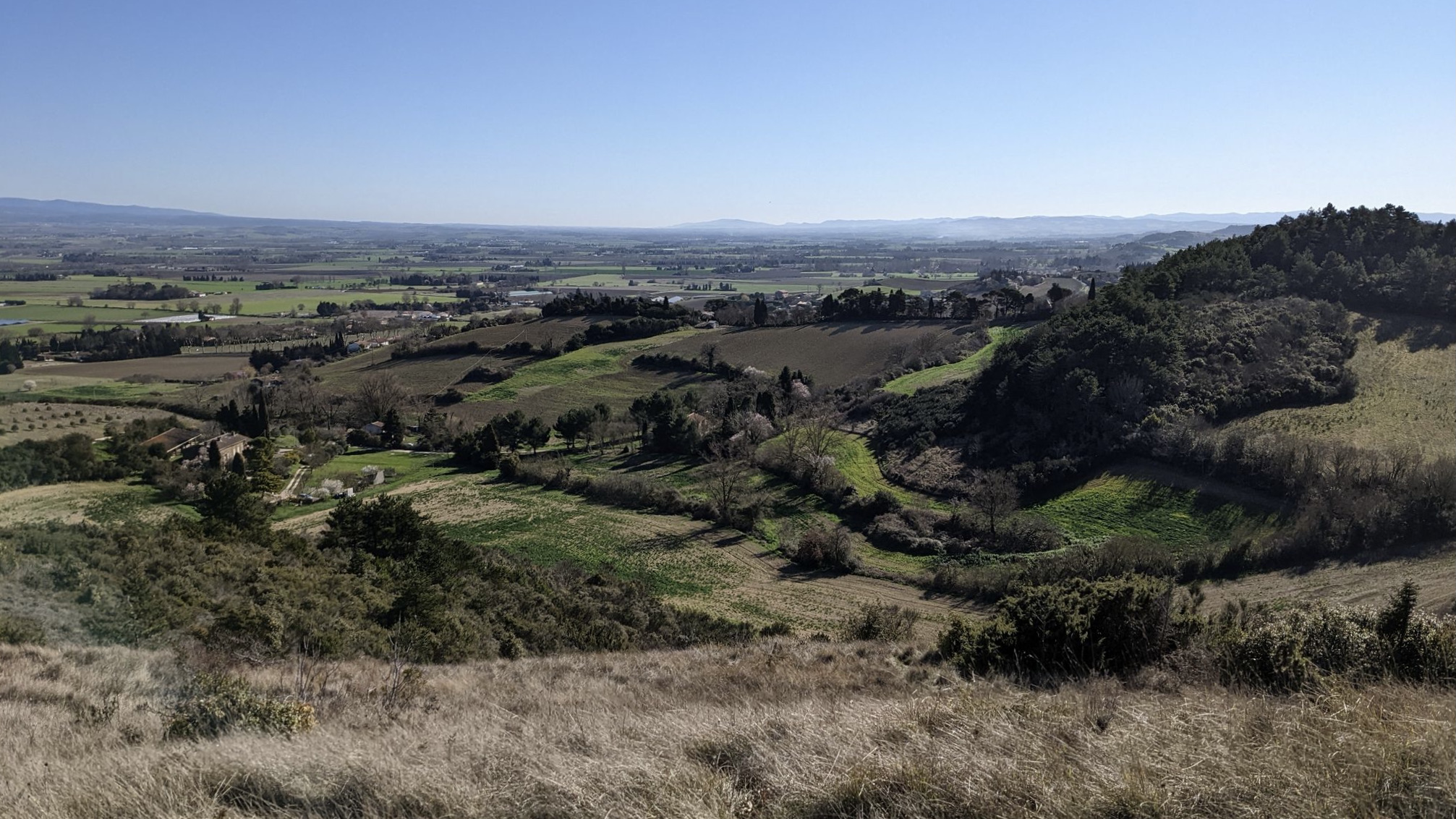
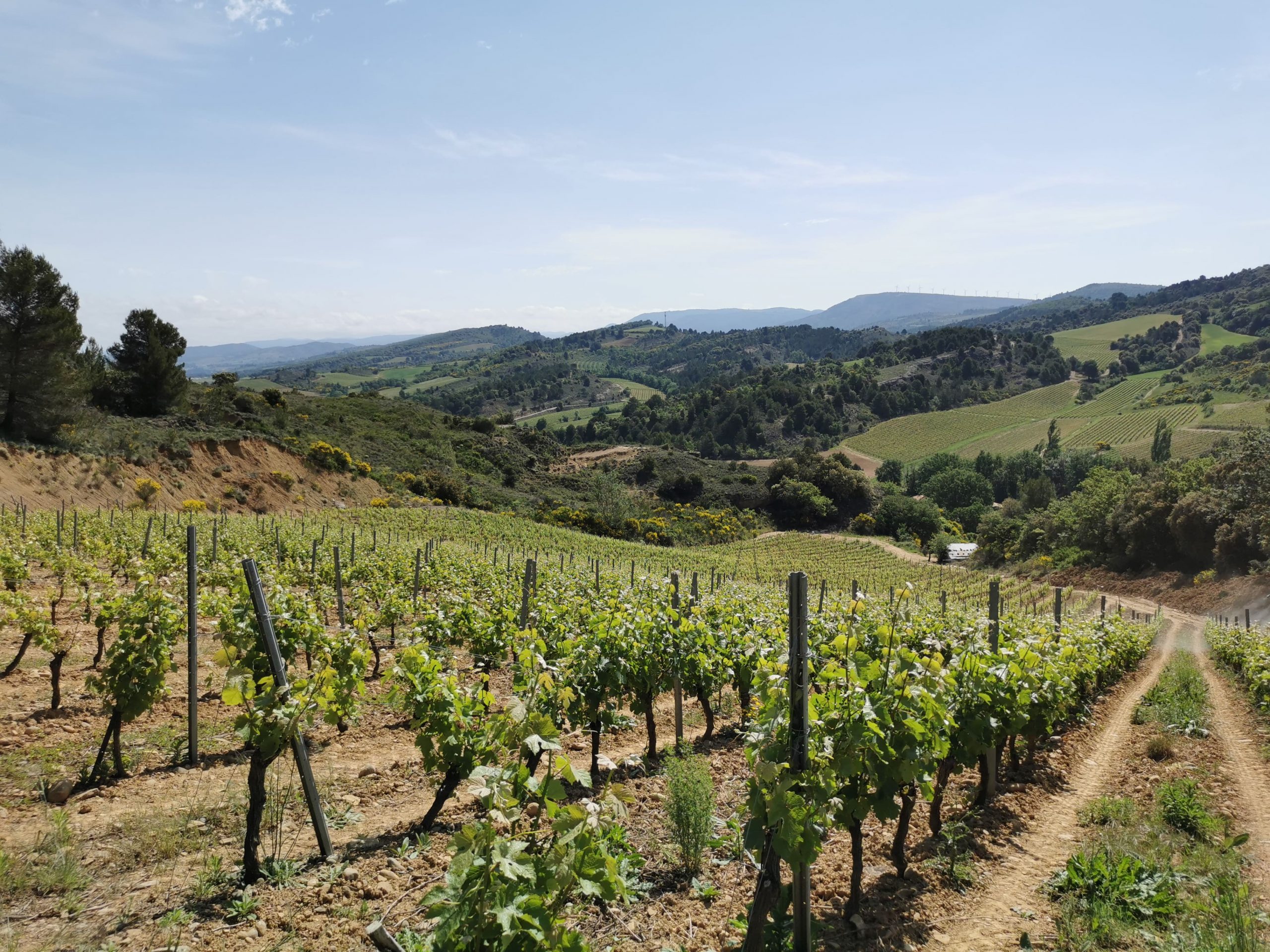
Departing from Villasavary, this walk makes a loop between forest and fields. The path takes a little height in order to offer pretty views of the Pyrenees in the distance.

Already more than 200,000 users!
Uphill
164m
Highest point
316m
Downhill
164m
Lowest point
173m
Route type
Loop
Download the map on your smartphone to save battery and rest assured to always keep access to the route, even without signal.
Includes IGN France and Swisstopo.
I indicate whether dogs are allowed or prohibited on this trail
All year
0 ratings
Also enjoy:

Already more than 200,000 users!