Uphill
628m
Length
8km
Duration
4h30min
Elev gain
628m
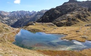
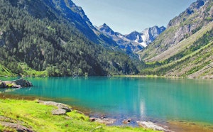
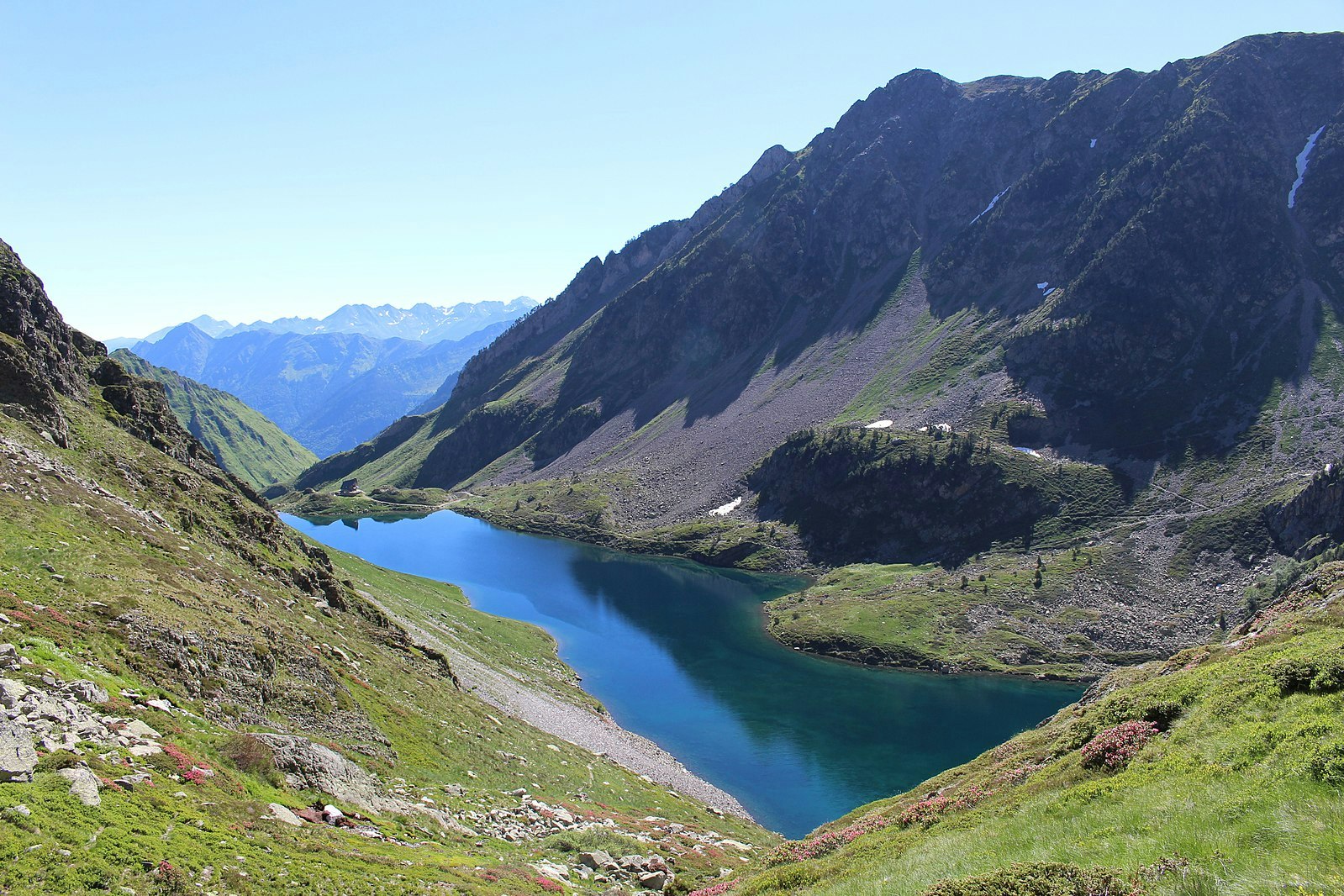
Round trip hike leading to the refuge and Lake Ilhéou. Little vegetation around, but marmots are often out.

Already more than 200,000 users!
Uphill
628m
Highest point
1982m
Downhill
628m
Lowest point
1356m
Route type
There and back
Download the map on your smartphone to save battery and rest assured to always keep access to the route, even without signal.
Includes IGN France and Swisstopo.
I indicate whether dogs are allowed or prohibited on this trail
From May to October
0 ratings
Also enjoy:

Already more than 200,000 users!