Uphill
274m
Length
6km
Duration
2h30min
Elev gain
274m
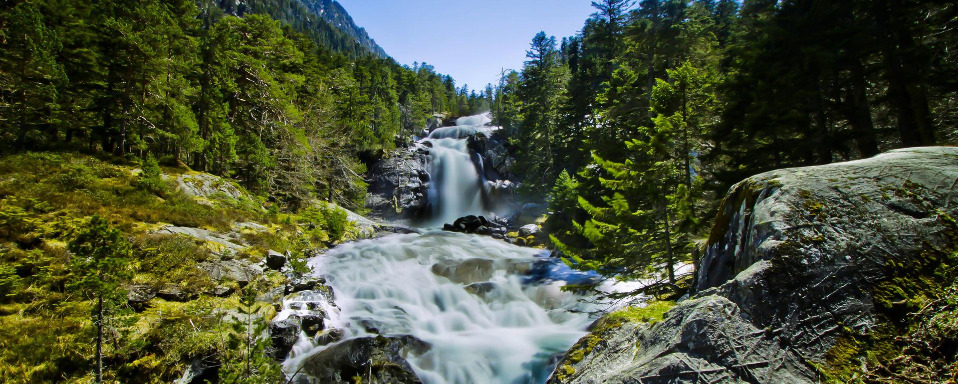
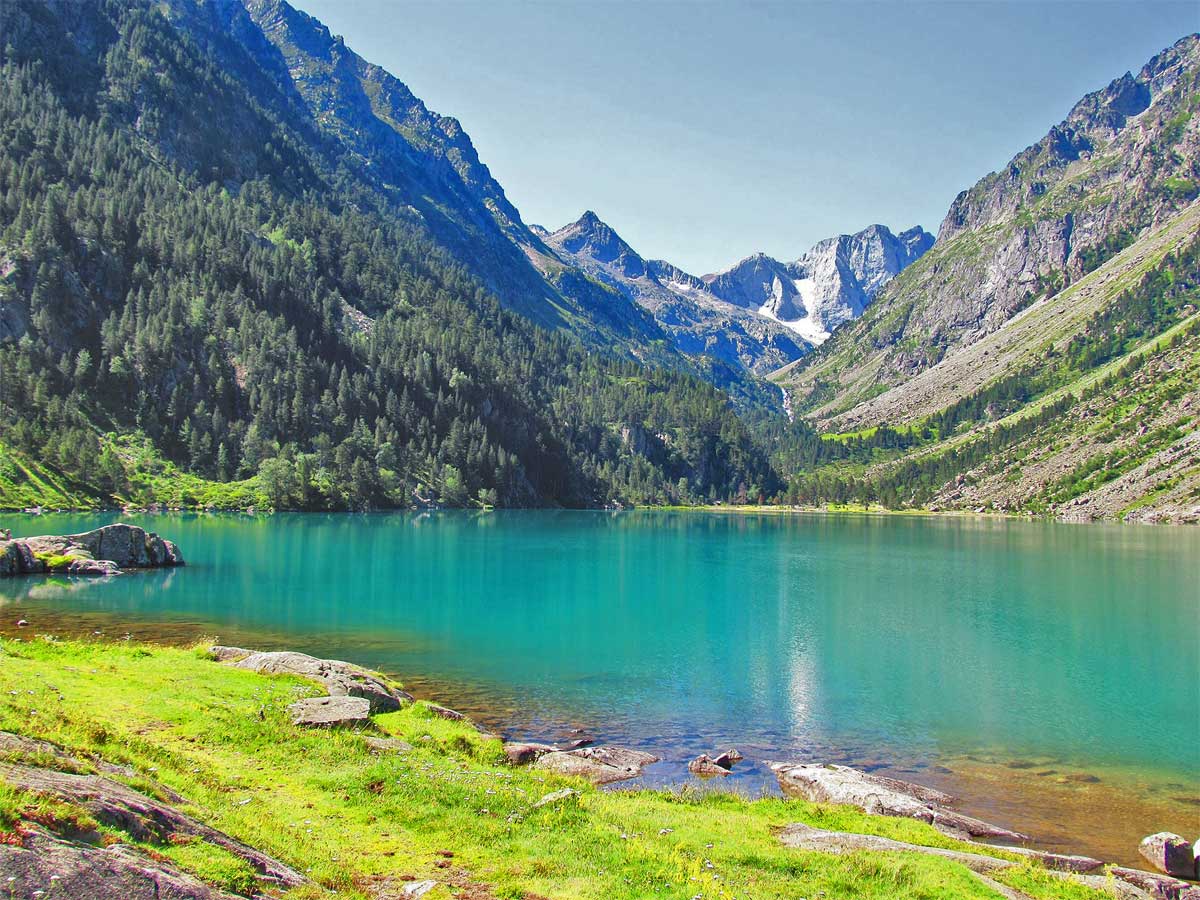
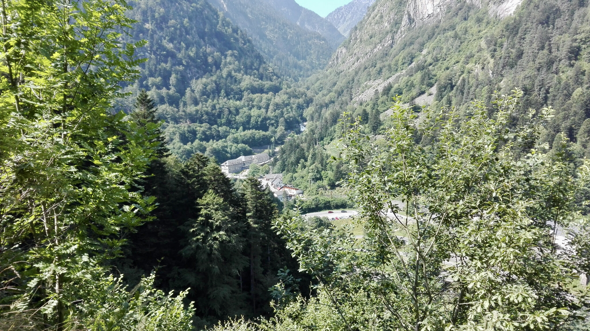
Departing from Cauterets, this is a walk along the Chemin des Pères to the Lutour waterfall at Araillère, before returning via the Chemin Demontzey.

Already more than 200,000 users!
Uphill
274m
Highest point
1168m
Downhill
274m
Lowest point
921m
Route type
Loop
Download the map on your smartphone to save battery and rest assured to always keep access to the route, even without signal.
Includes IGN France and Swisstopo.
I indicate whether dogs are allowed or prohibited on this trail
Can be difficult in Winter
1 rating
Also enjoy:

Already more than 200,000 users!