Uphill
1166m
Length
20km
Duration
9h
Elev gain
1166m
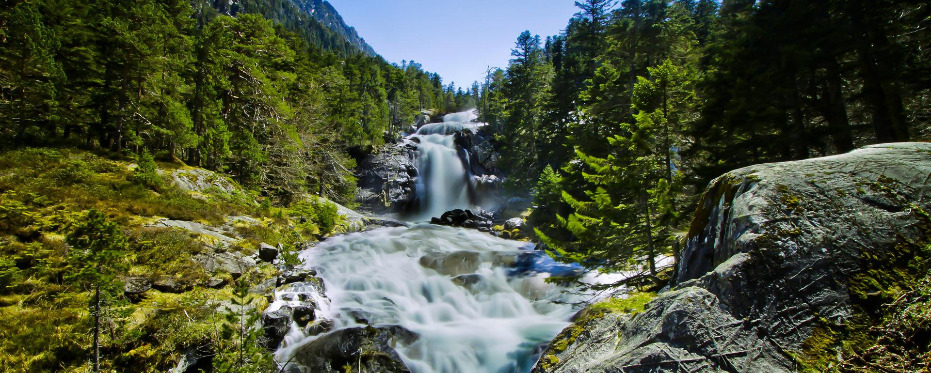
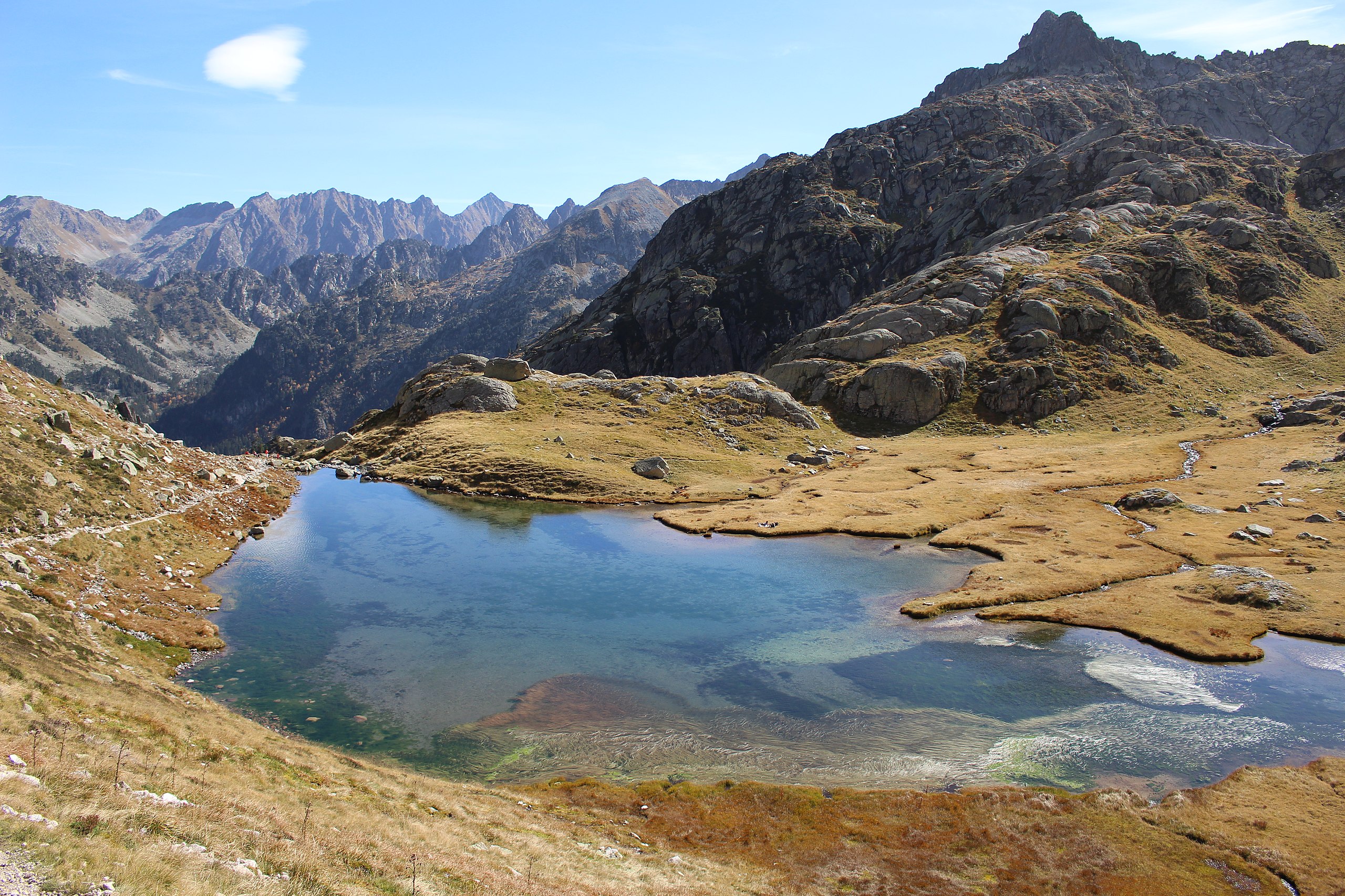
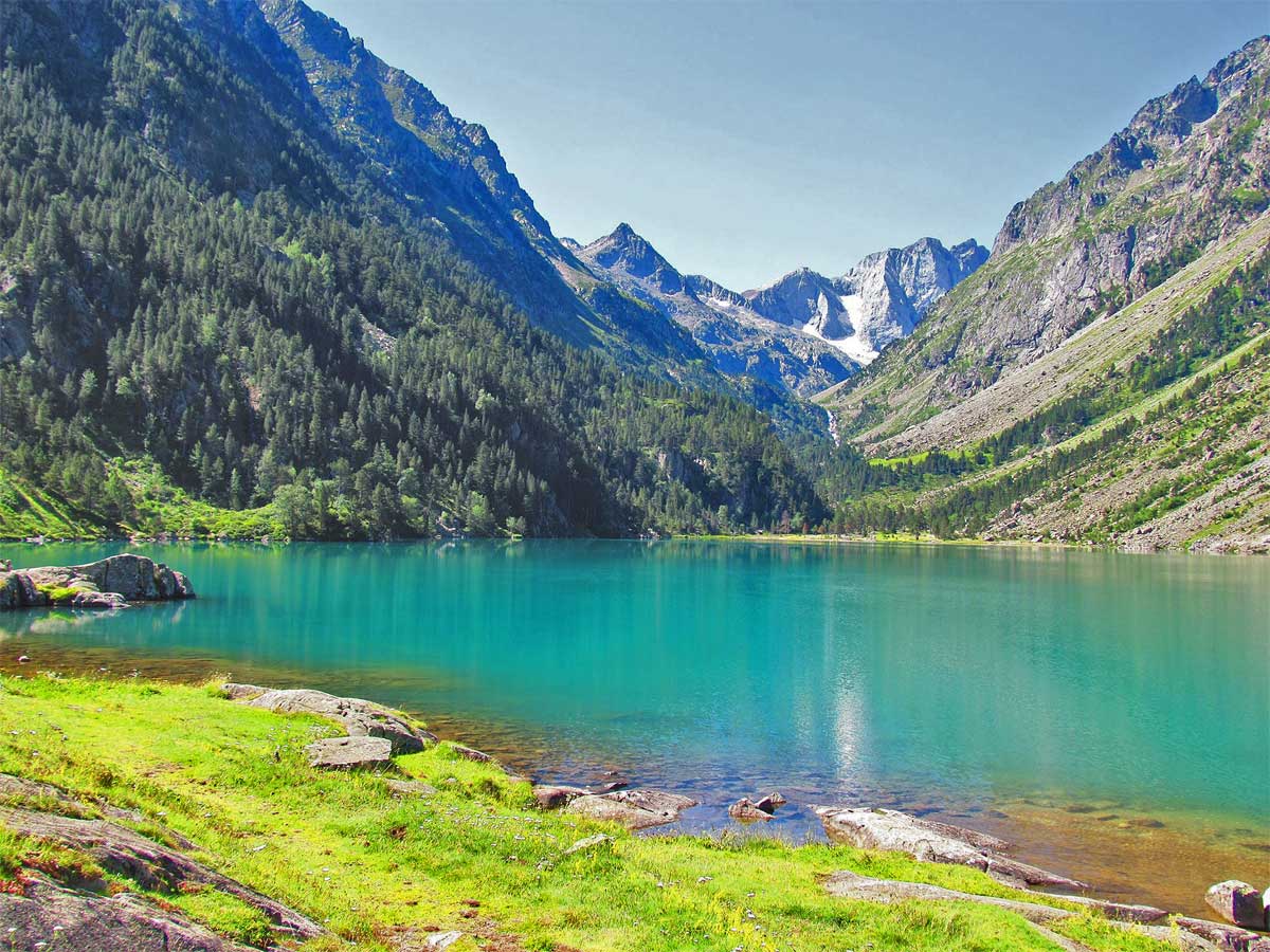
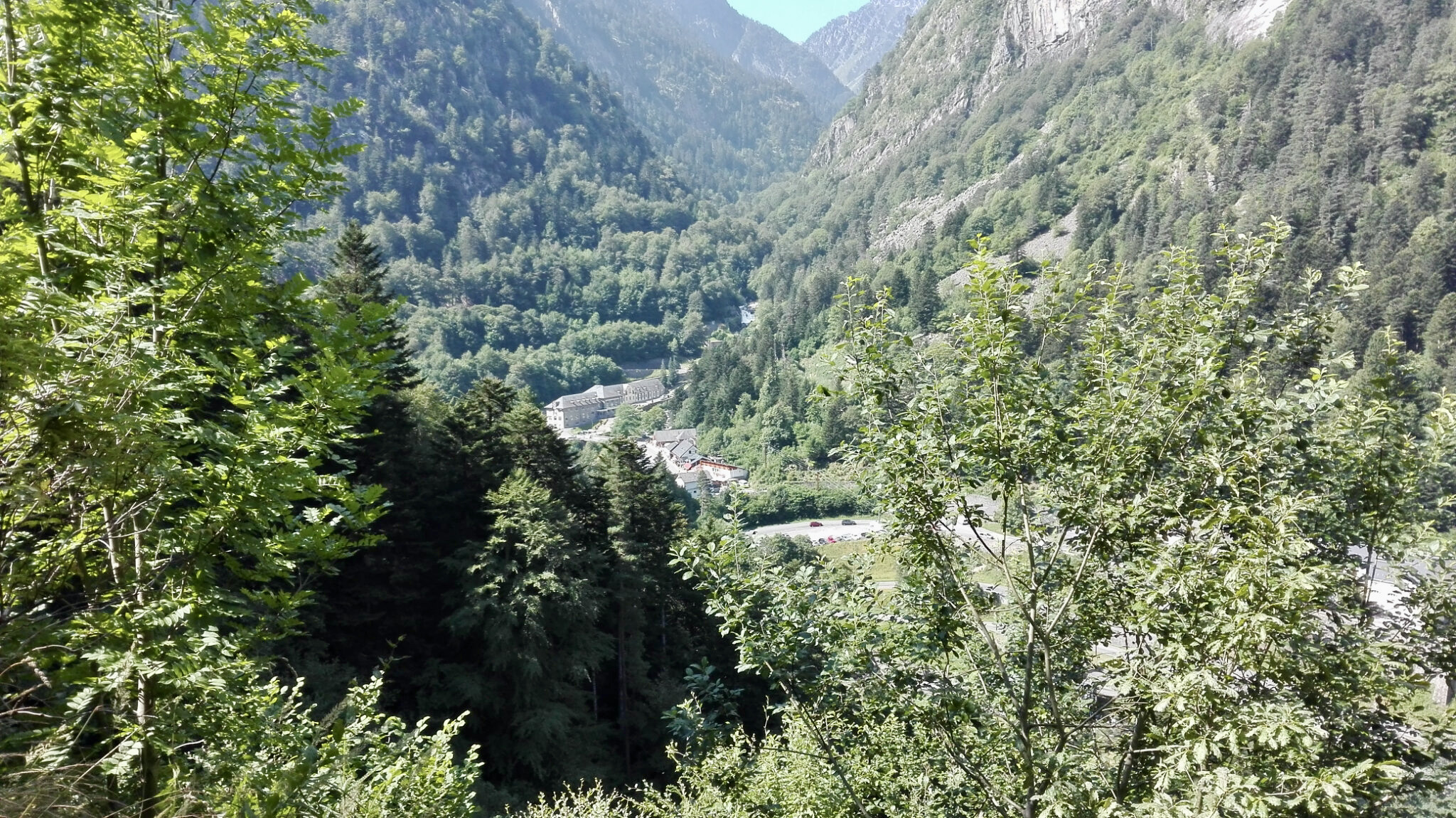
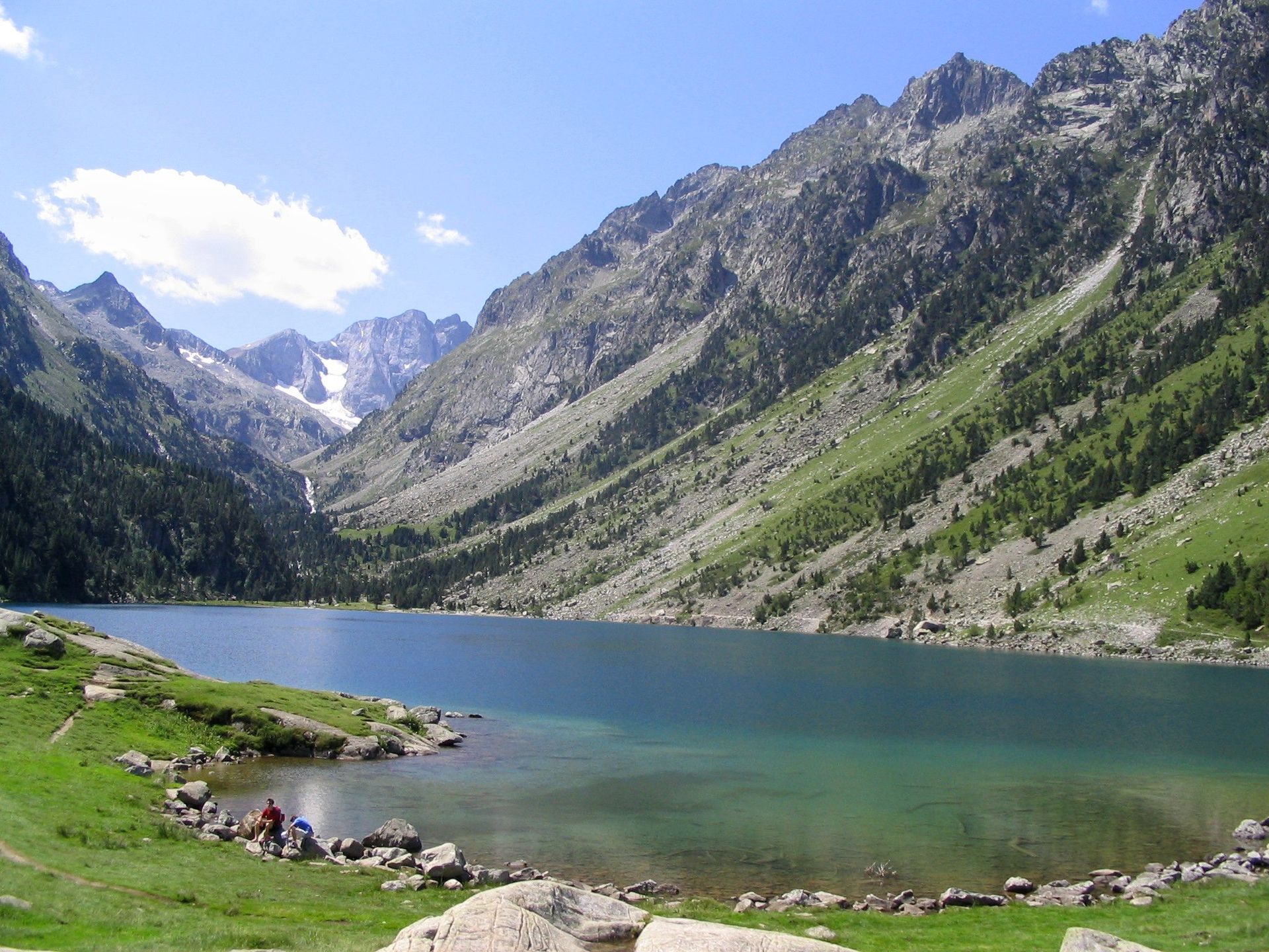
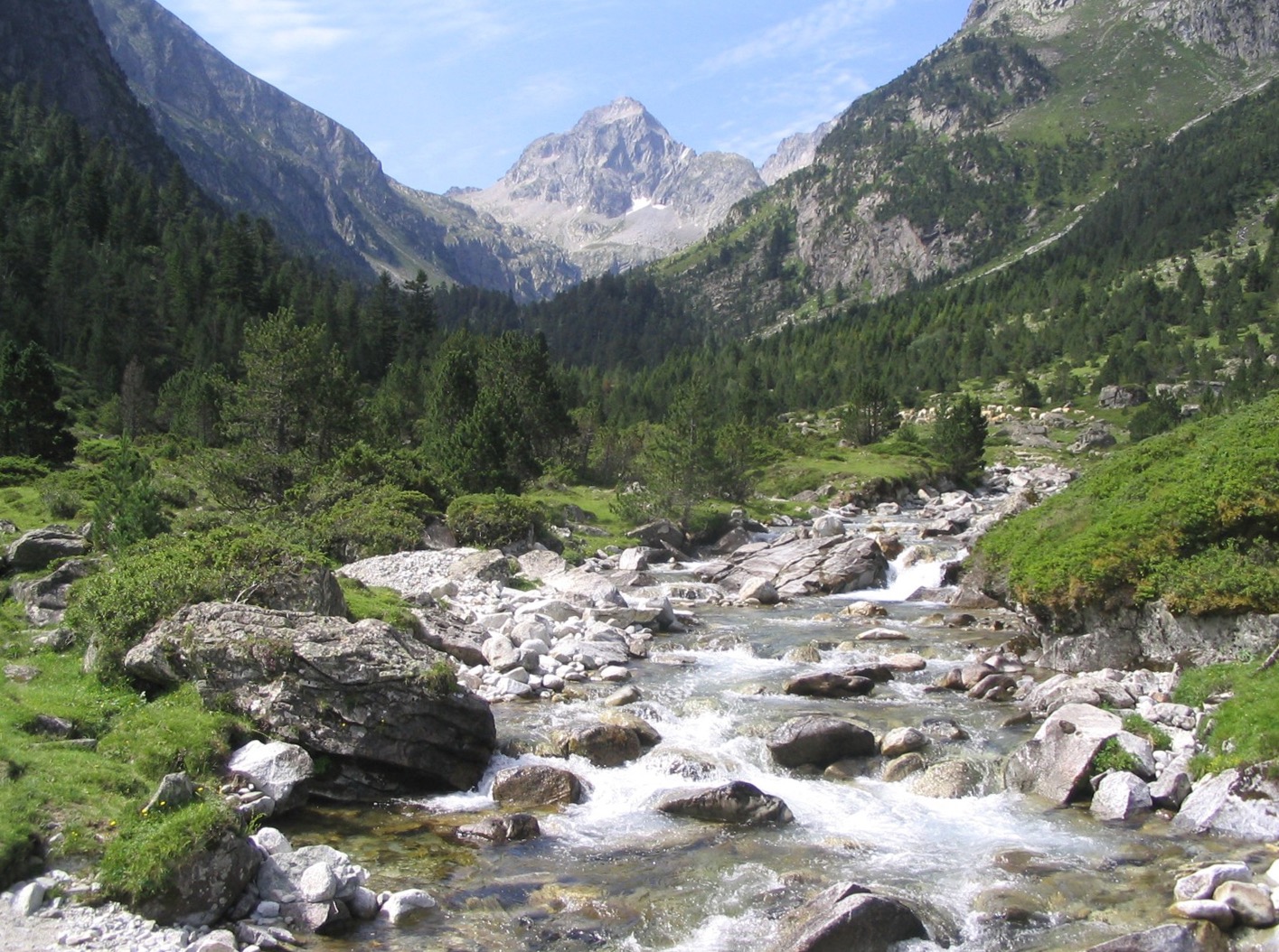
Round trip to the lakes of Estom and Labas, via the magnificent Lutour valley. Long trail but no real difficulties.

Already more than 200,000 users!
Uphill
1166m
Highest point
2454m
Downhill
1166m
Lowest point
1363m
Route type
There and back
Download the map on your smartphone to save battery and rest assured to always keep access to the route, even without signal.
Includes IGN France and Swisstopo.
I indicate whether dogs are allowed or prohibited on this trail
From June to September
0 ratings
Also enjoy:

Already more than 200,000 users!