Uphill
469m
Length
9km
Duration
3h30min
Elev gain
469m
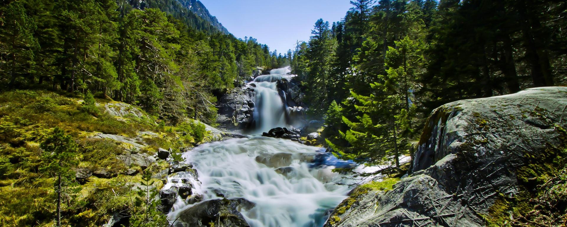
Starting from La Raillère, this trail allows you to discover no less than six waterfalls: those of Pont d'Espagne, Mauhourat, Pouey Bacou, Boussès, Escane-Gat and Ceriset.
For the brave, it is then possible to walk to Lake Gaube.

Already more than 200,000 users!
Uphill
469m
Highest point
1507m
Downhill
469m
Lowest point
1058m
Route type
There and back
Download the map on your smartphone to save battery and rest assured to always keep access to the route, even without signal.
Includes IGN France and Swisstopo.
I indicate whether dogs are allowed or prohibited on this trail
Can be difficult in Winter
5 ratings
Also enjoy:

Already more than 200,000 users!


