Uphill
96m
Length
15km
Duration
4h
Elev gain
96m
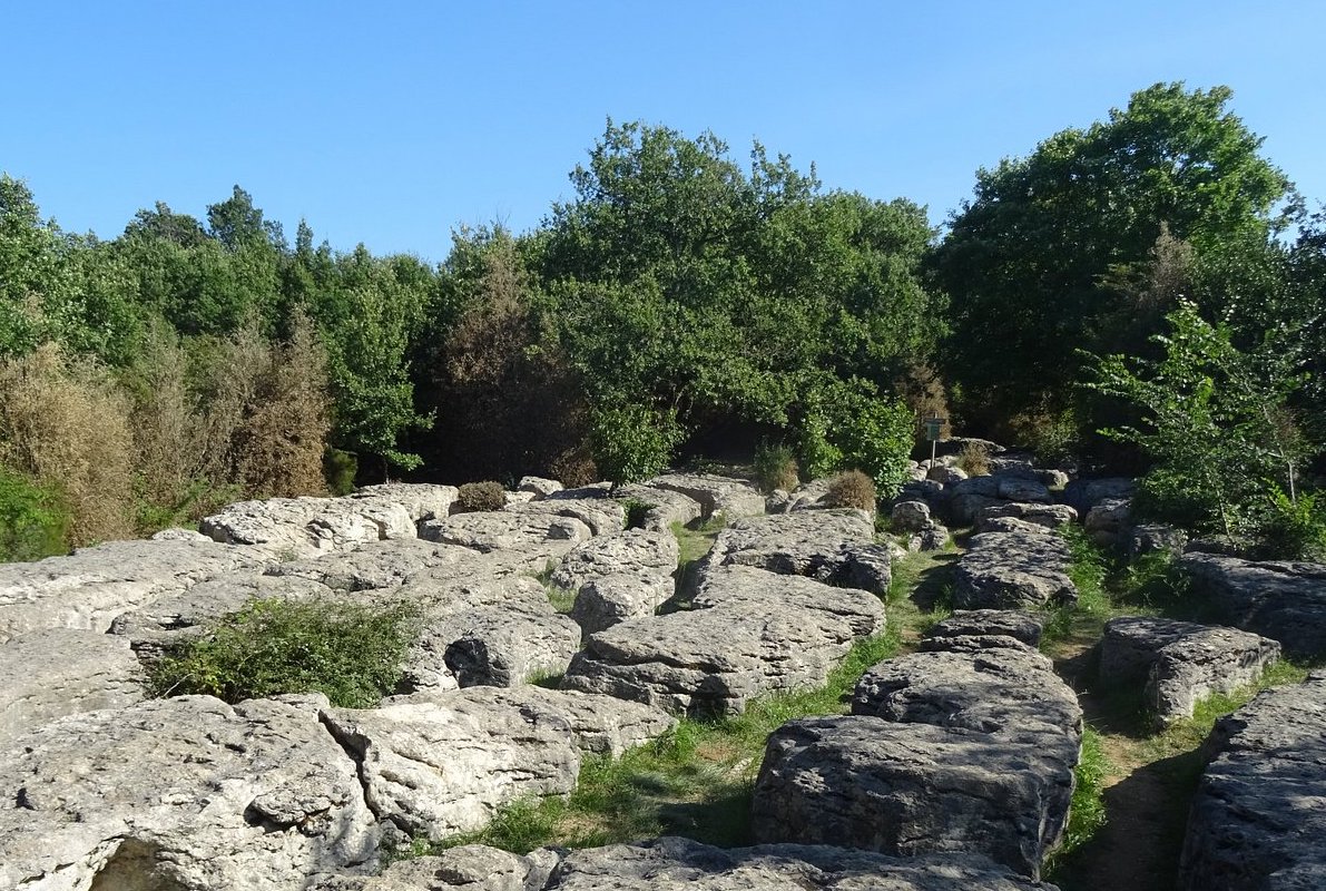
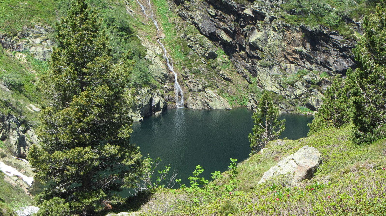
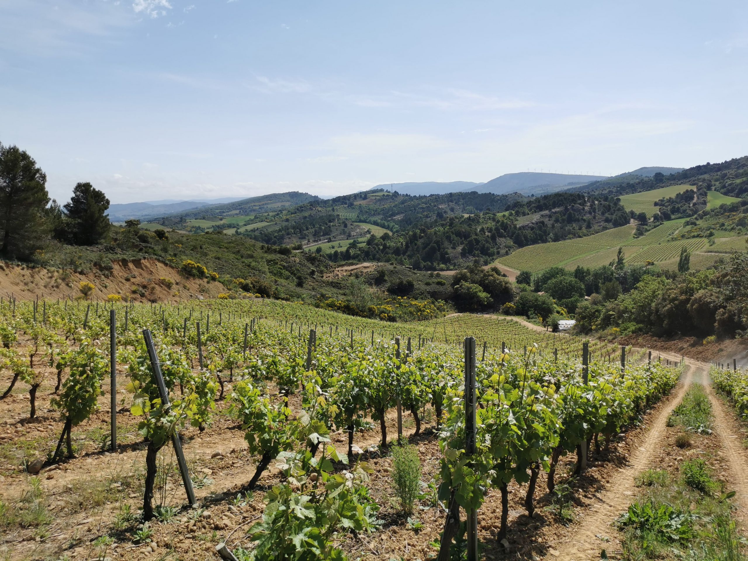
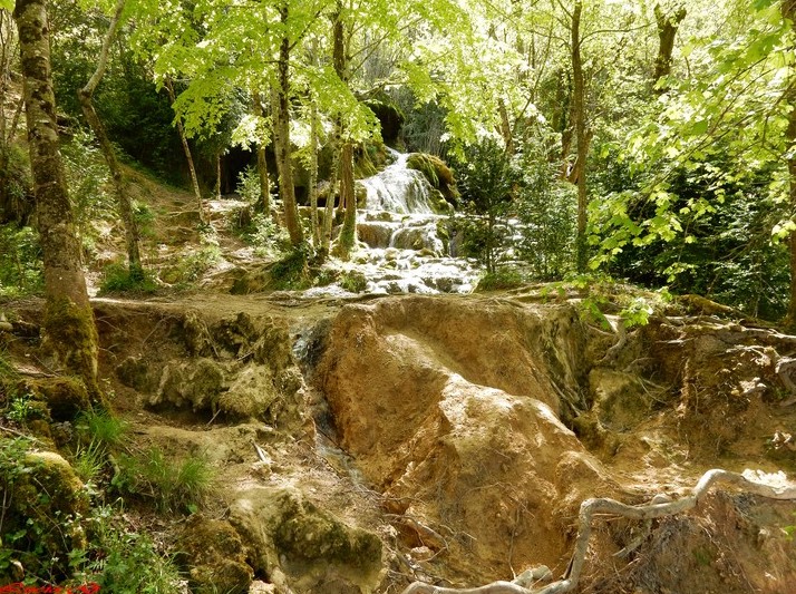
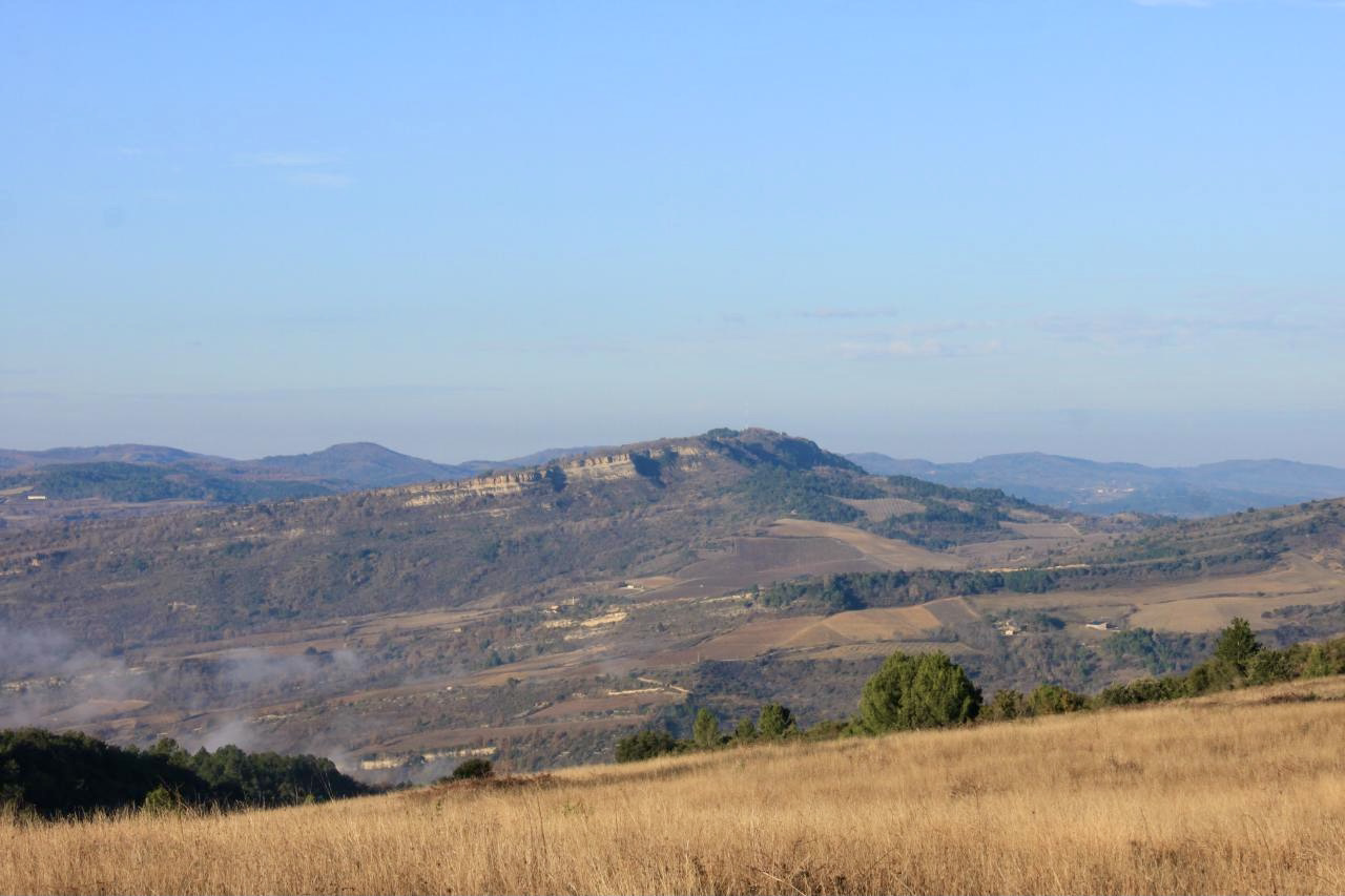
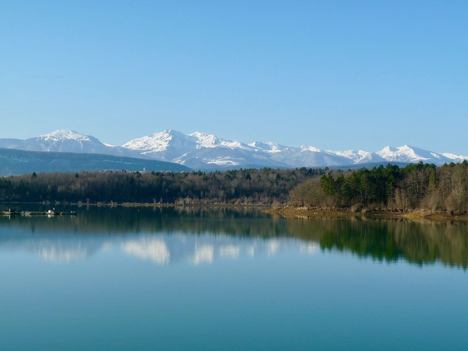
Hike around Lake Montbel, which was created in 1985 following the construction of a dam. The path alternates between undergrowth and more open landscapes, offering a nice panorama of the Pyrenees.
Note that the end of the walk is on a small road.

Already more than 200,000 users!
Uphill
96m
Highest point
422m
Downhill
96m
Lowest point
381m
Route type
Loop
Download the map on your smartphone to save battery and rest assured to always keep access to the route, even without signal.
Includes IGN France and Swisstopo.
I indicate whether dogs are allowed or prohibited on this trail
All year
1 rating
Also enjoy:

Already more than 200,000 users!