Uphill
262m
Length
13km
Duration
4h
Elev gain
262m
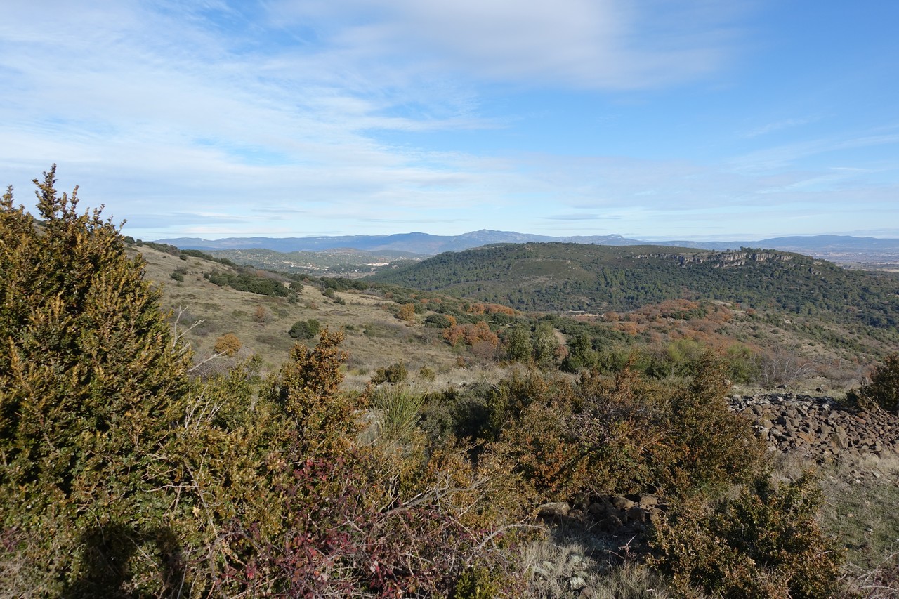
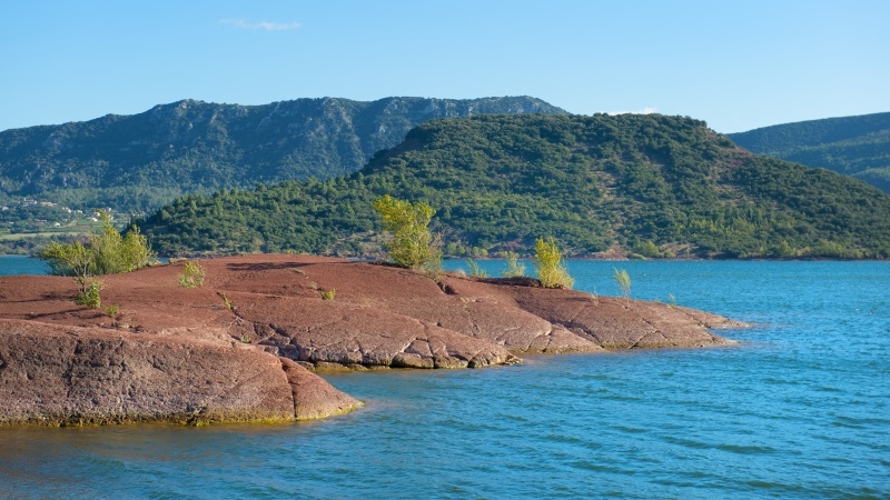
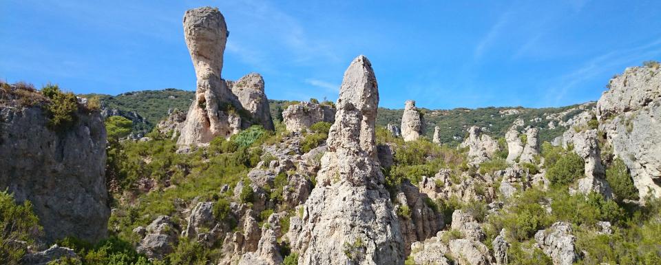
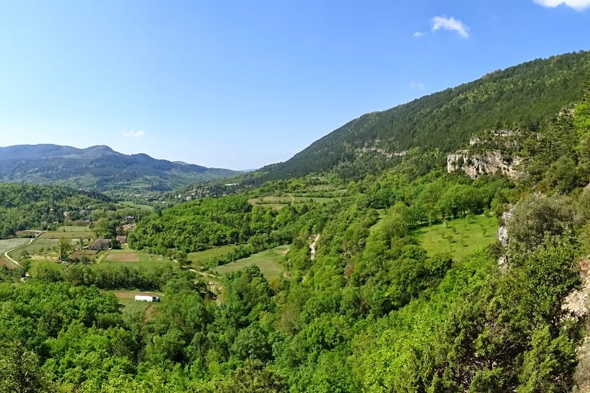
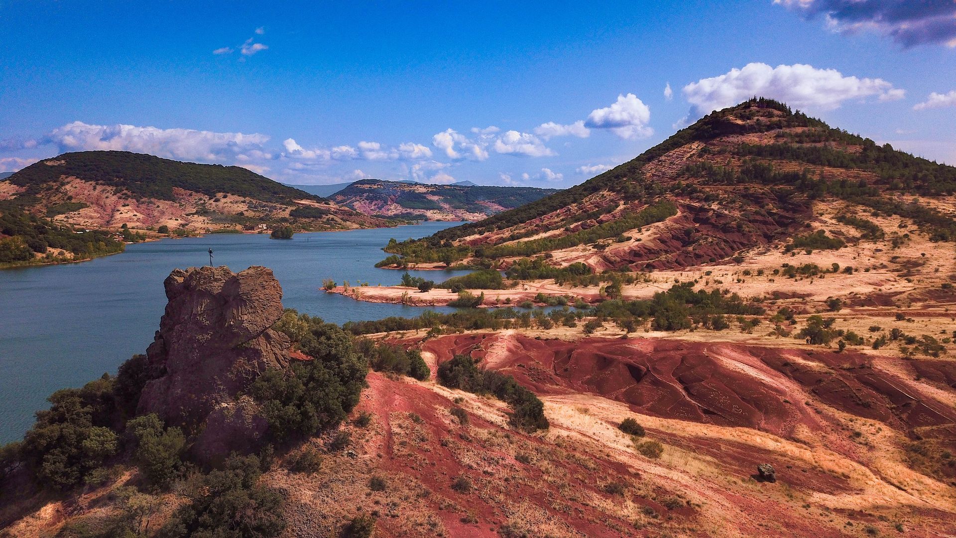
Unusual hike in a setting that looks like the French Far West, starting from the Salagou dam. The outward journey takes place inland while the return passes by the shores of the lake, all in a calm and soothing environment. The arid landscapes will give you the feeling of having changed continents.

Already more than 200,000 users!
Uphill
262m
Highest point
269m
Downhill
262m
Lowest point
129m
Route type
Loop
Download the map on your smartphone to save battery and rest assured to always keep access to the route, even without signal.
Includes IGN France and Swisstopo.
I indicate whether dogs are allowed or prohibited on this trail
All year
1 rating
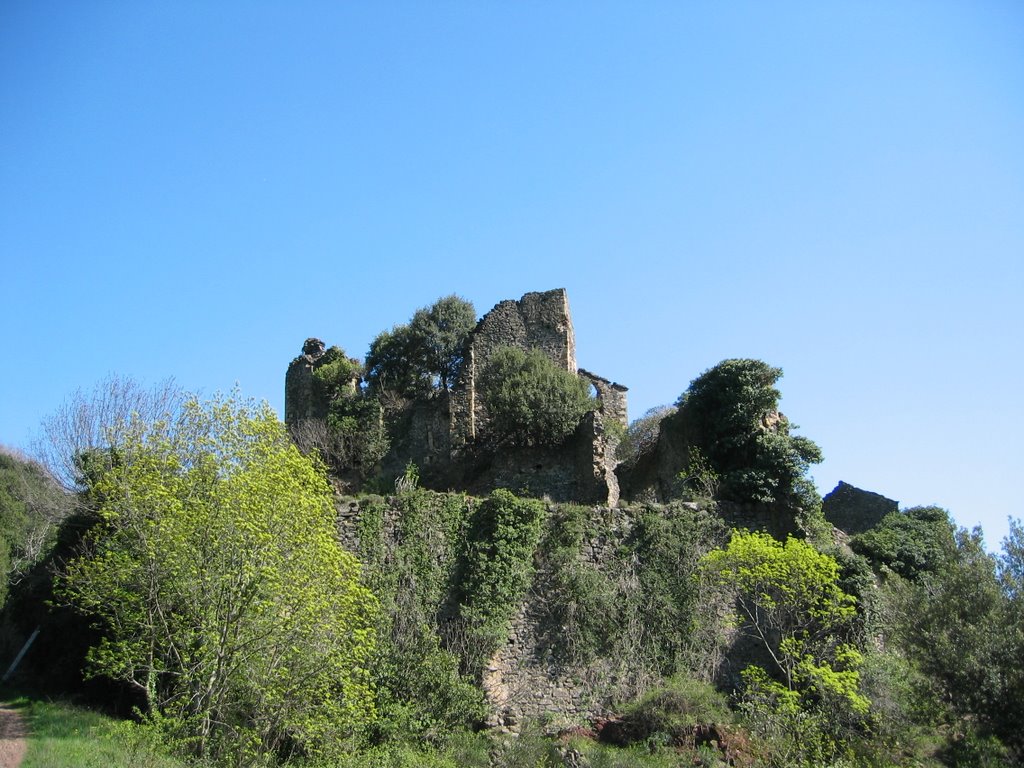
Also enjoy:

Already more than 200,000 users!