Uphill
438m
Length
9km
Duration
3h30min
Elev gain
438m
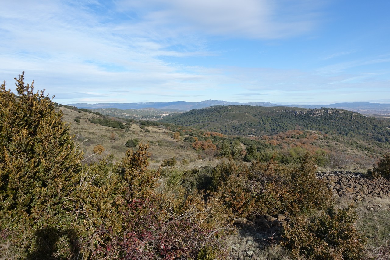
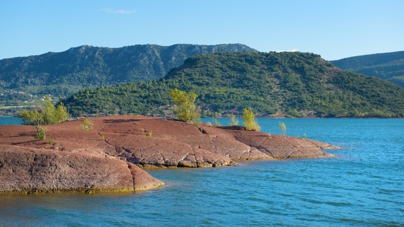
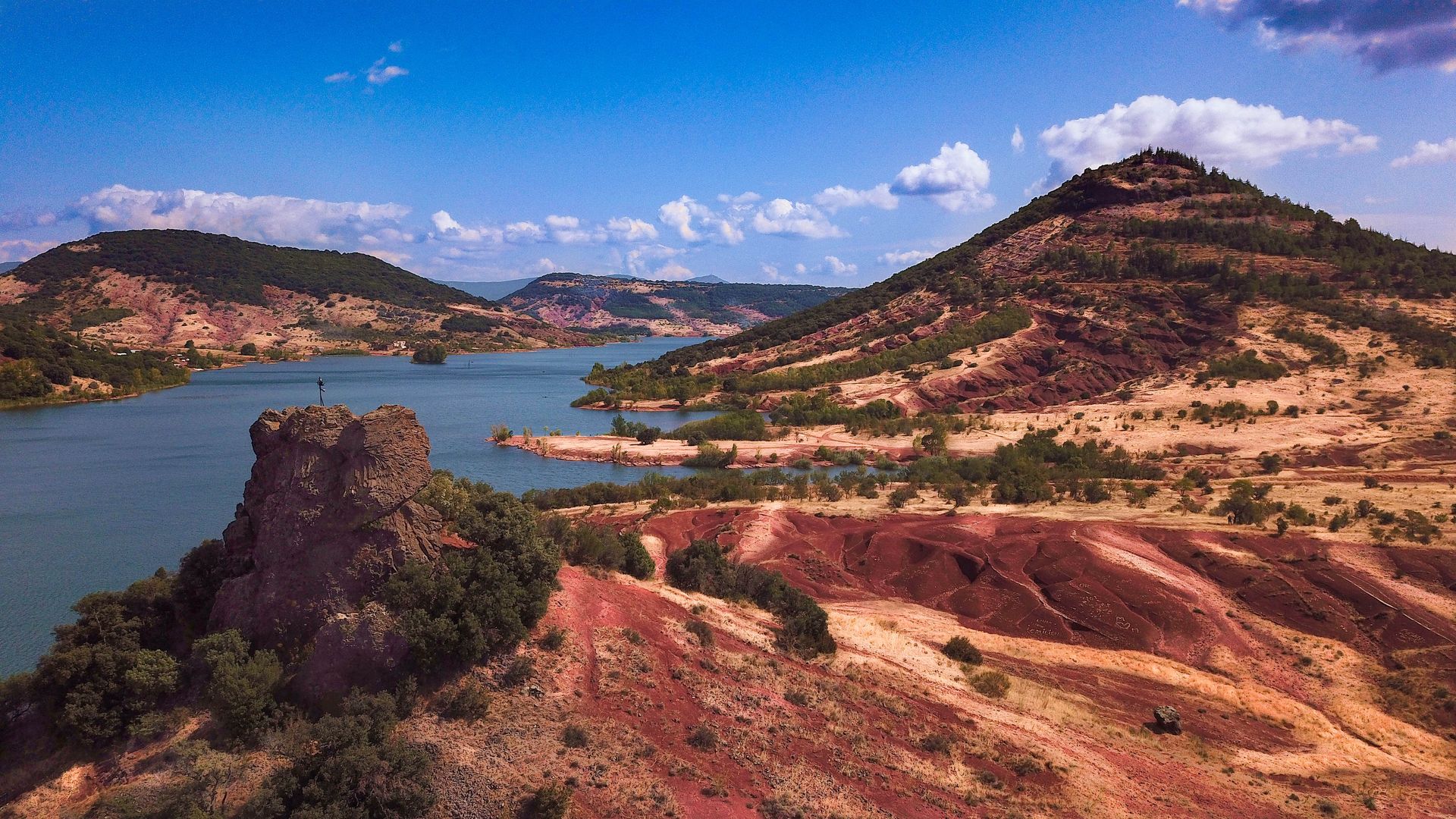
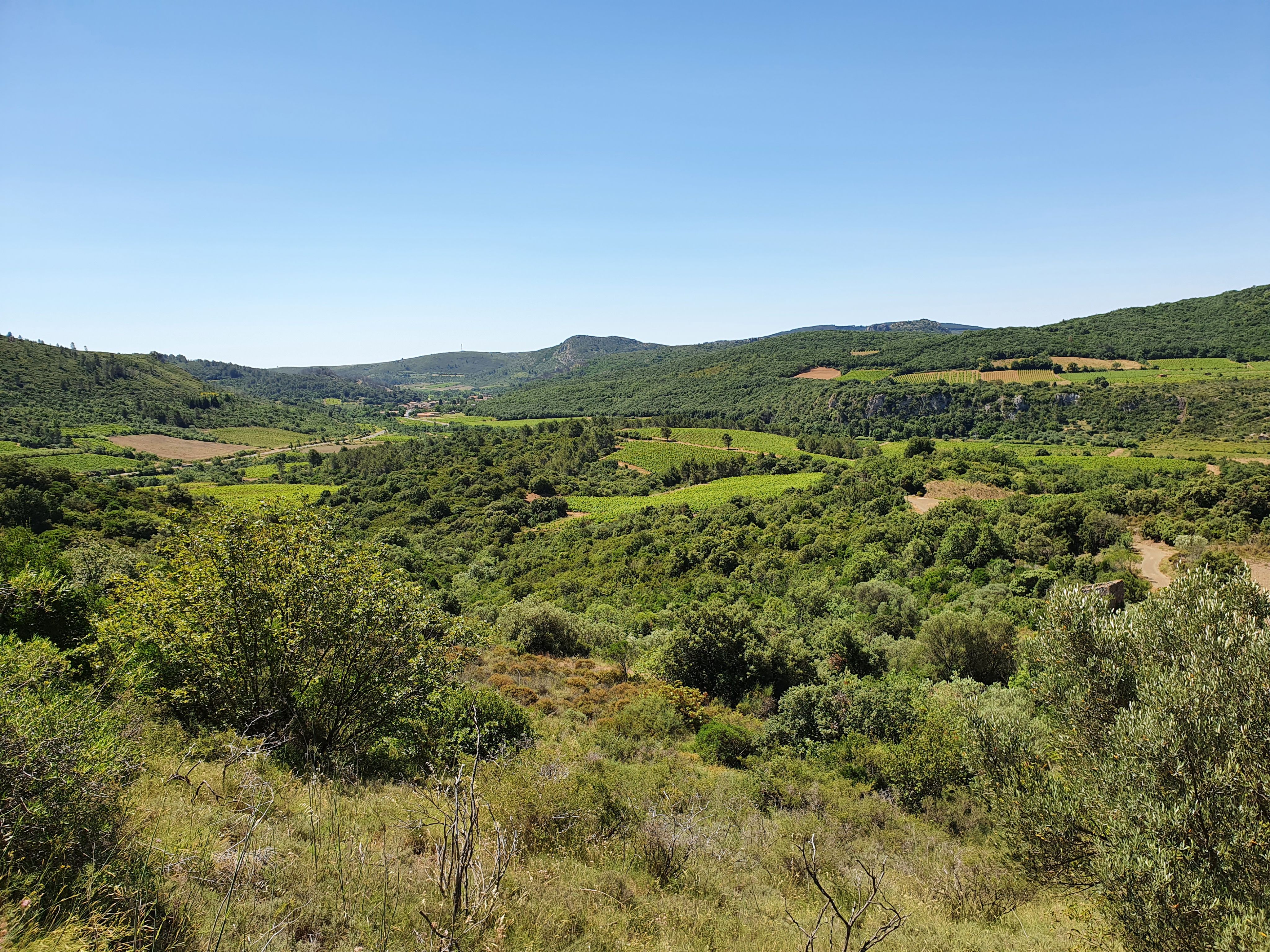
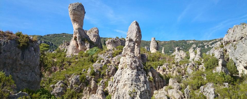
Hike to discover the Mourèze cirque and its surprising rock formations. The trail then reaches Mont Liausson, in order to enjoy an exceptional panorama of Lake Salagou.

Already more than 200,000 users!
Uphill
438m
Highest point
525m
Downhill
438m
Lowest point
198m
Route type
Loop
Download the map on your smartphone to save battery and rest assured to always keep access to the route, even without signal.
Includes IGN France and Swisstopo.
I indicate whether dogs are allowed or prohibited on this trail
All year
4 ratings
Also enjoy:

Already more than 200,000 users!