Uphill
293m
Length
10km
Duration
3h
Elev gain
293m
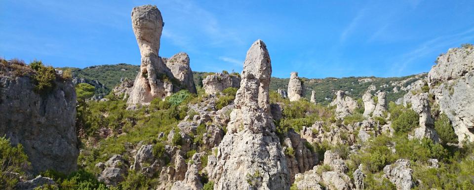
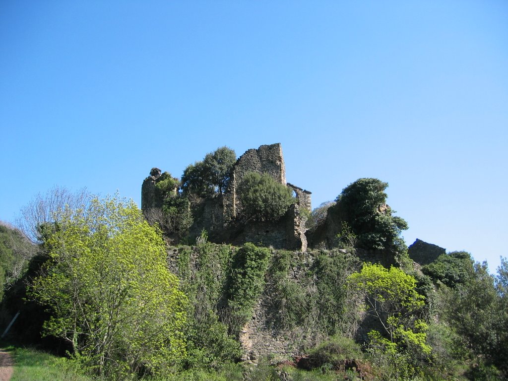
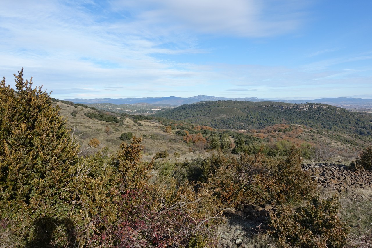
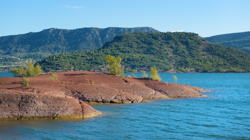
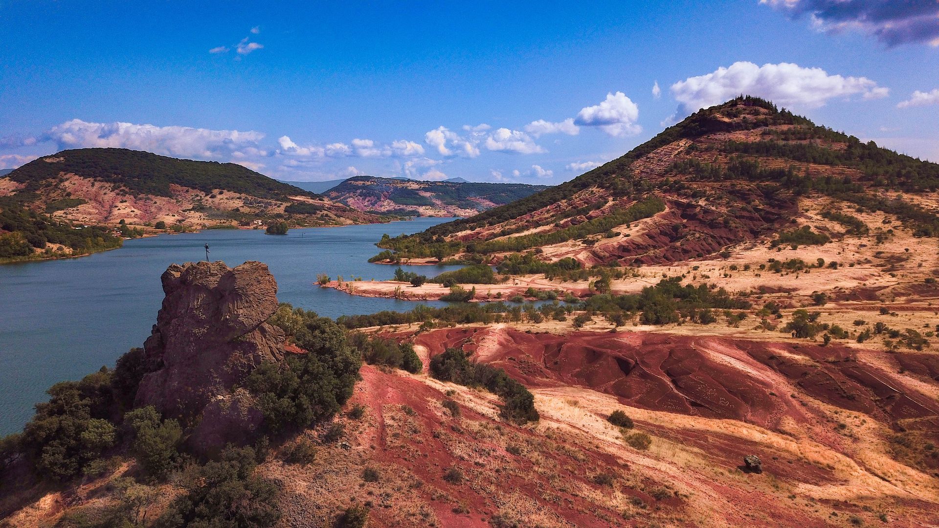
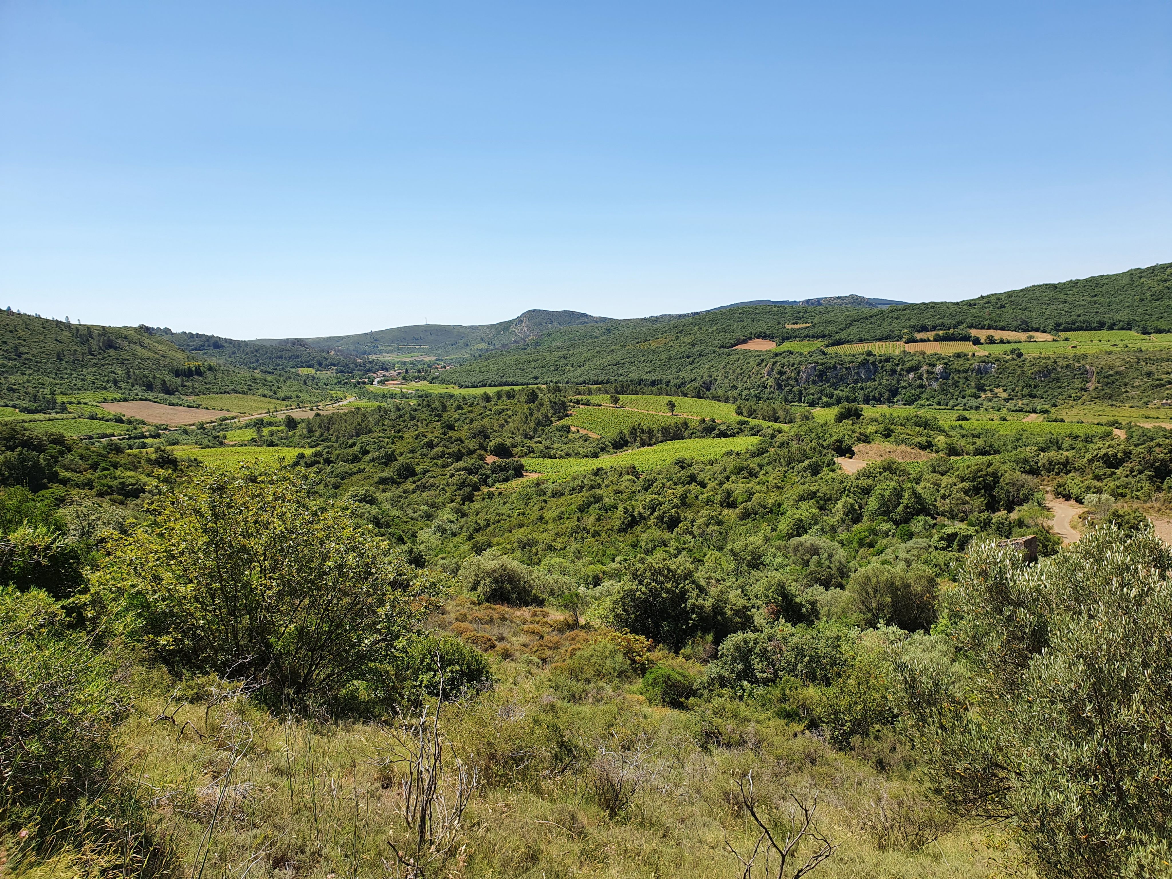
Departing from Vailhan, this circuit allows you to discover the ruins of Tiberet, while offering lovely views of the Lake of Olivettes.

Already more than 200,000 users!
Uphill
293m
Highest point
335m
Downhill
293m
Lowest point
157m
Route type
Loop
Download the map on your smartphone to save battery and rest assured to always keep access to the route, even without signal.
Includes IGN France and Swisstopo.
I indicate whether dogs are allowed or prohibited on this trail
All year
2 ratings
Also enjoy:

Already more than 200,000 users!