Uphill
38m
Length
3km
Duration
1h
Elev gain
38m
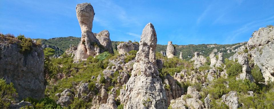
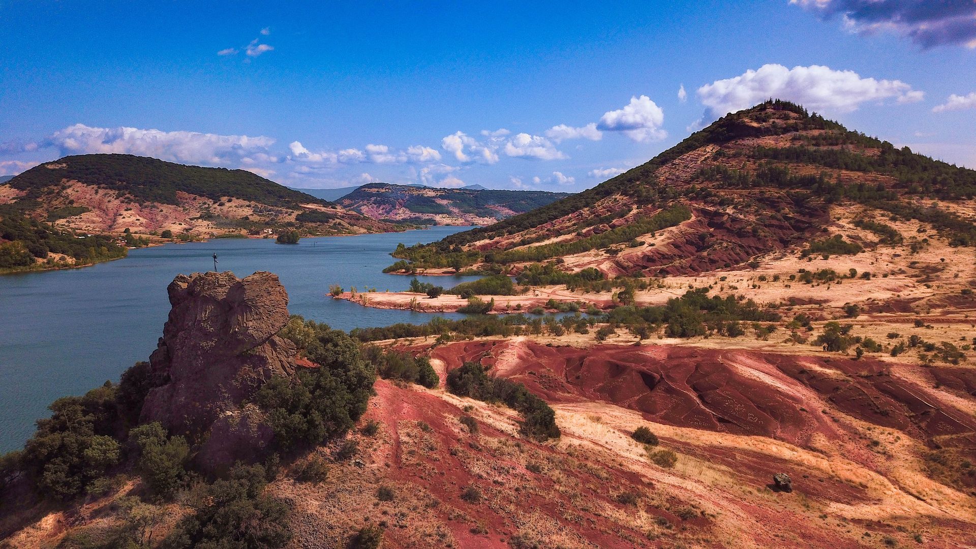
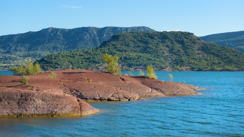
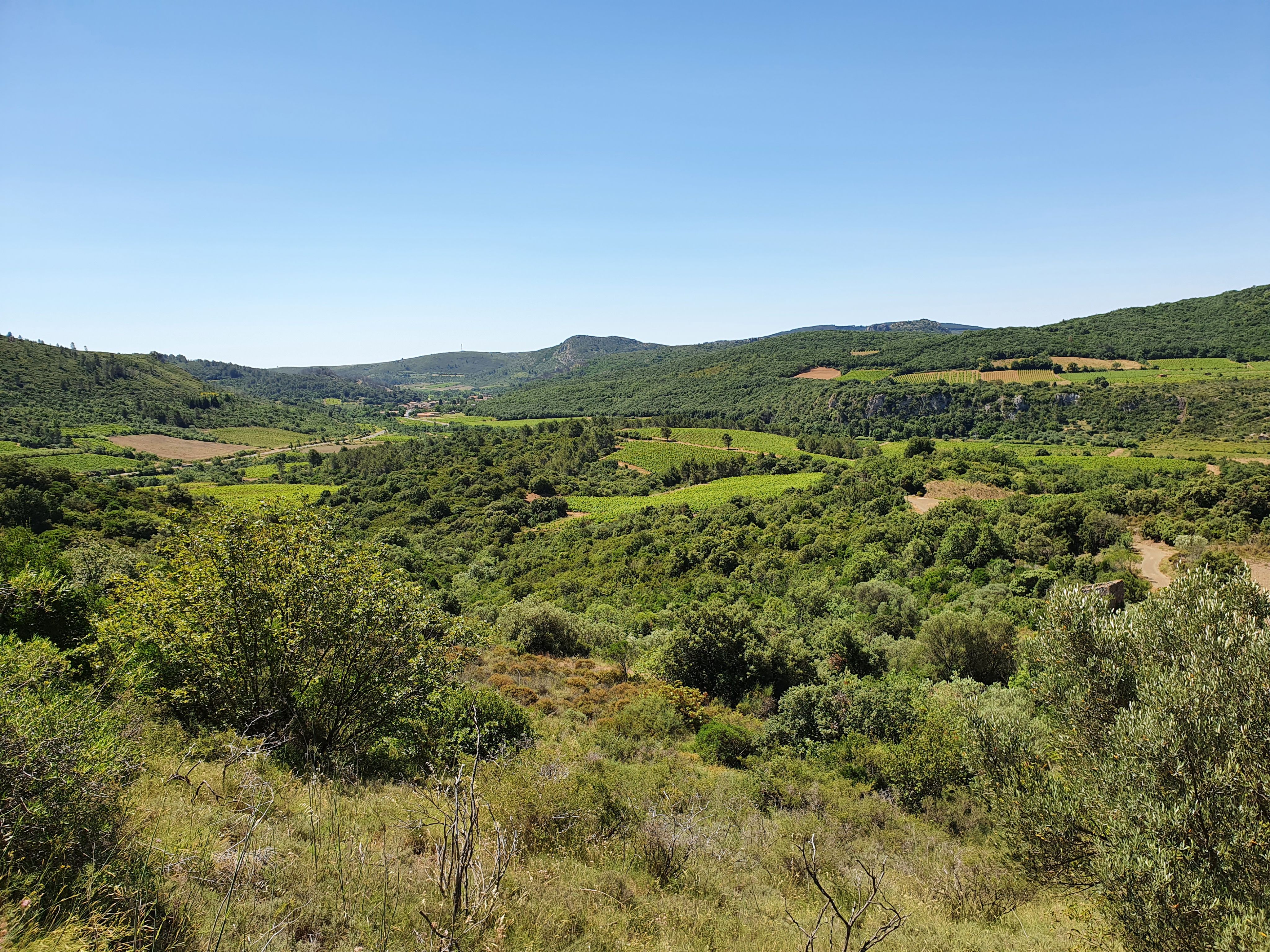
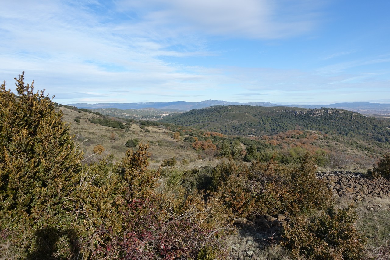
Looking for a walk of less than an hour with beautiful landscapes? There it is. This path winds through the forest, passing by the Grand Reservoir then along the Dourbie.

Already more than 200,000 users!
Uphill
38m
Highest point
174m
Downhill
38m
Lowest point
131m
Route type
Loop
Download the map on your smartphone to save battery and rest assured to always keep access to the route, even without signal.
Includes IGN France and Swisstopo.
I indicate whether dogs are allowed or prohibited on this trail
All year
0 ratings
Also enjoy:

Already more than 200,000 users!