Uphill
374m
France > Occitanie > Aveyron > Grands Causses Regional Natural Park
Length
5km
Duration
2h30min
Elev gain
374m
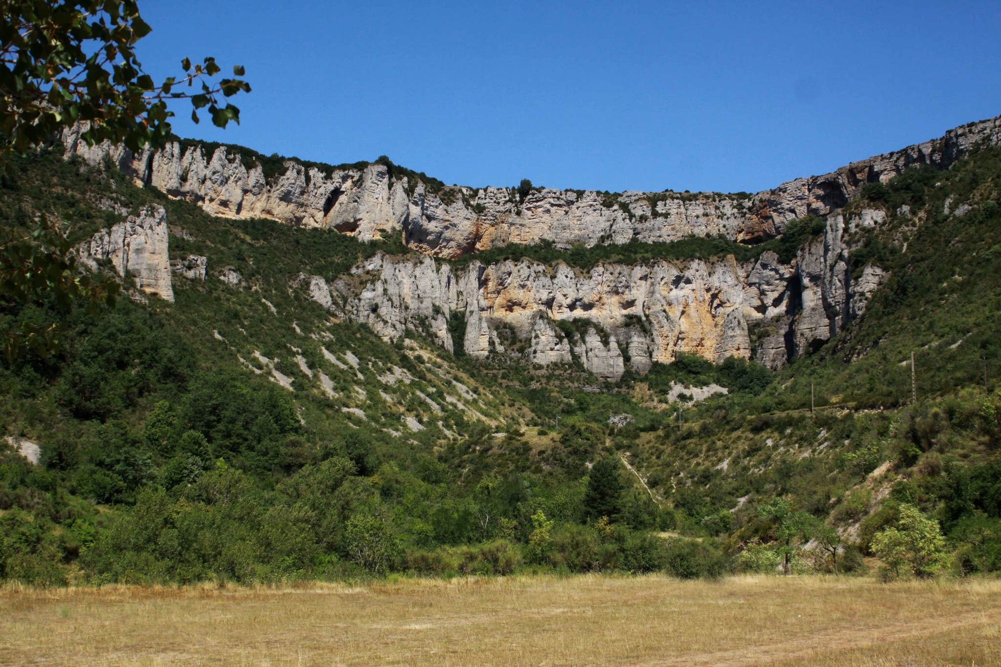
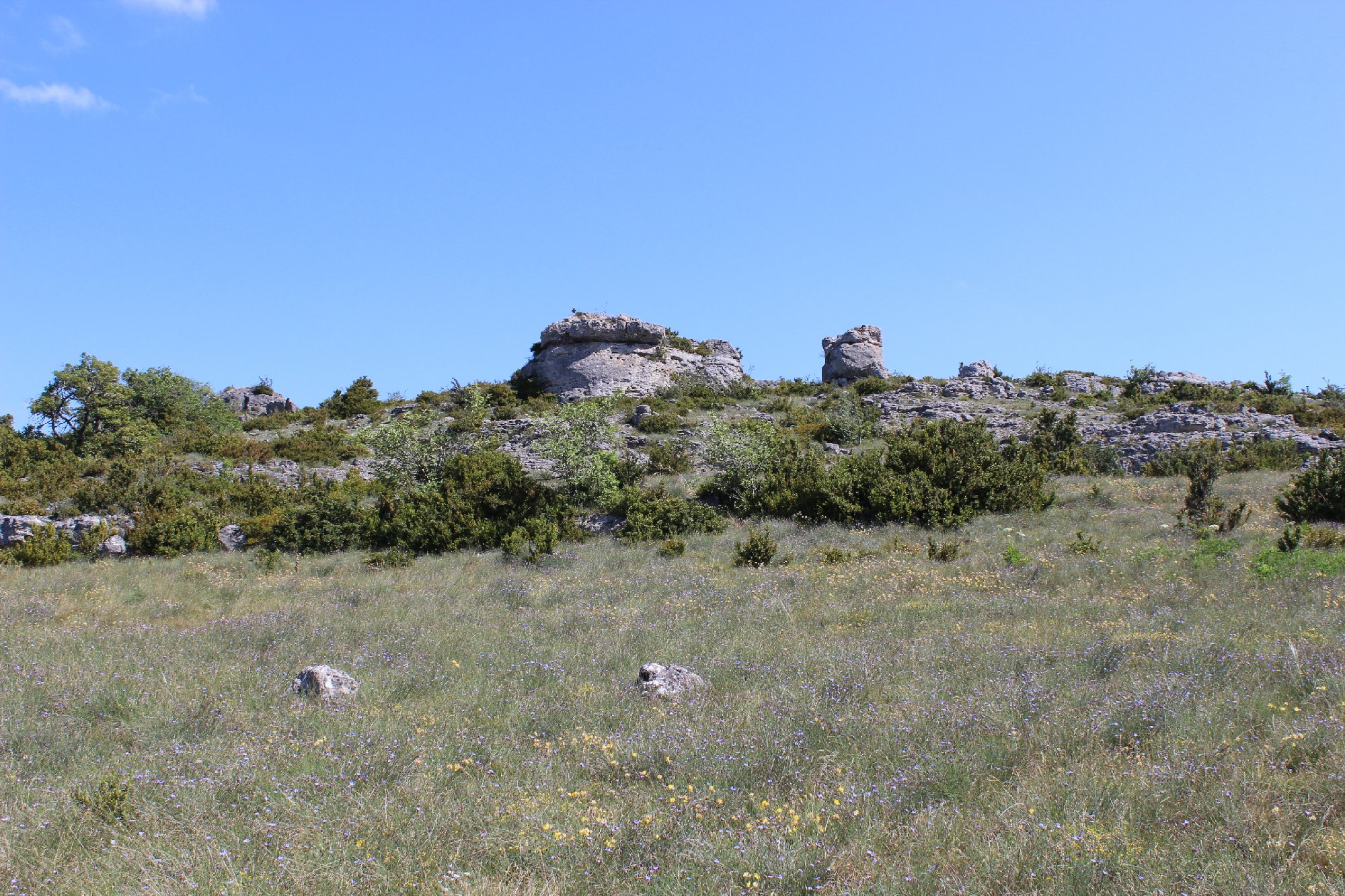
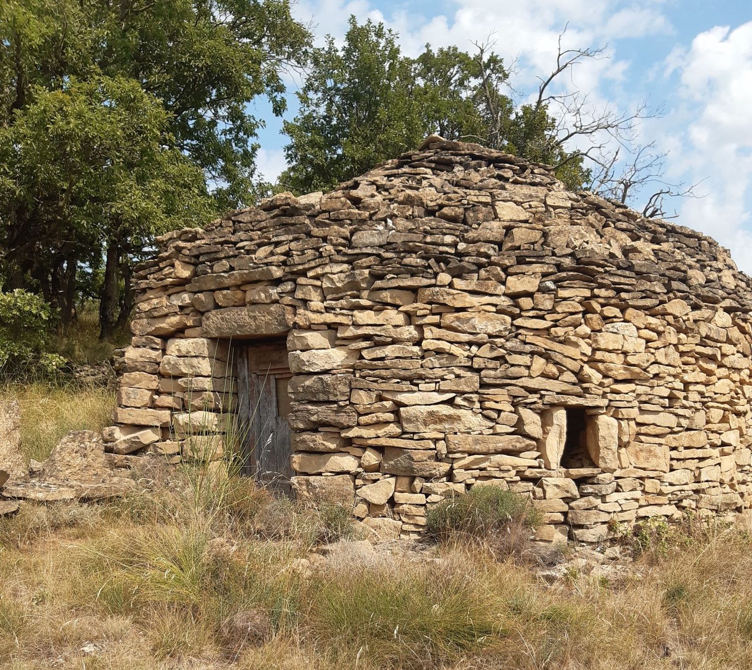
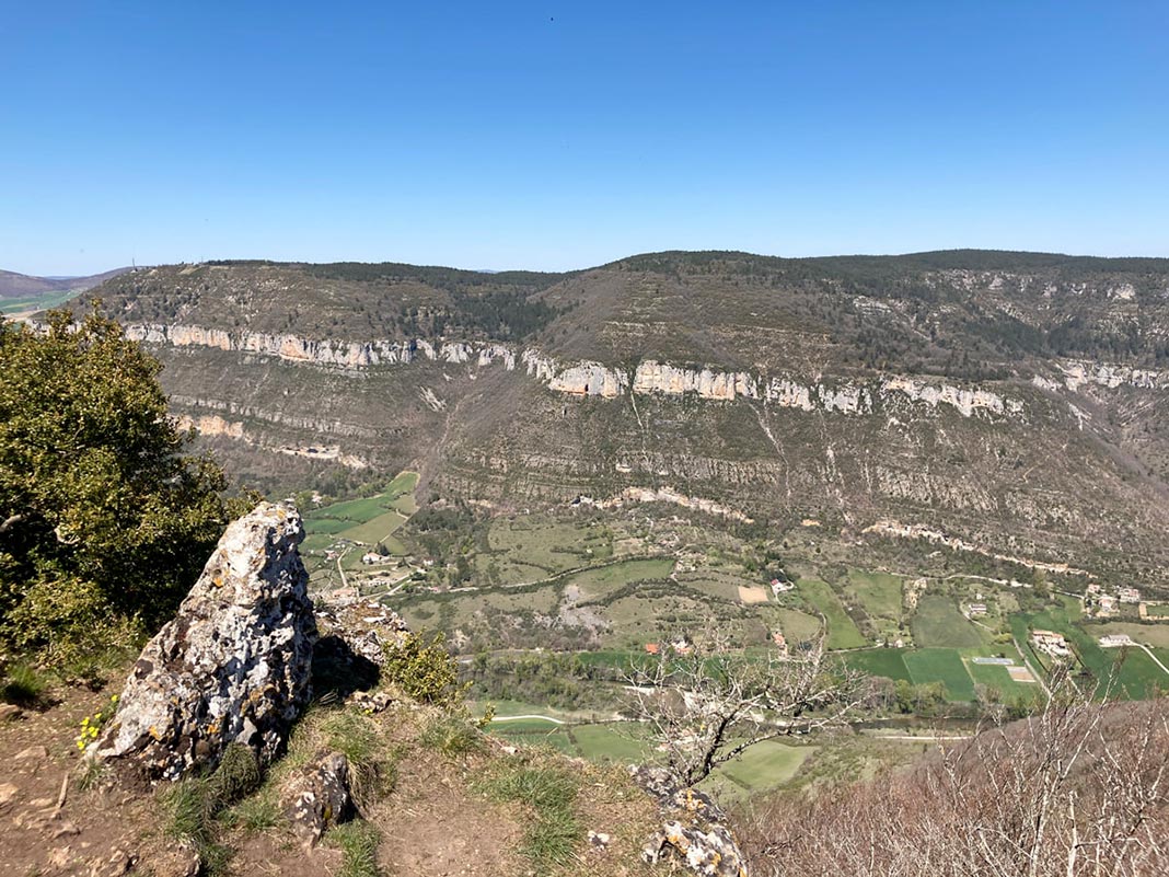
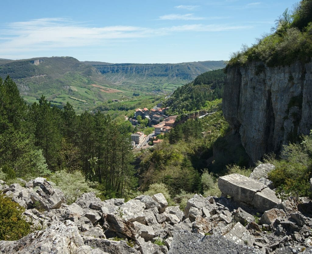
Here is a beautiful hike starting from Roquefort-sur-Soulzon, in the Grands Causses regional natural park. The path quickly gains height to overlook the village and its surroundings, offering a superb view of the Causse du Larzac and the Cirque de Tournemire.
Be careful though: the path is aptly named since many rocks are to be climbed. Good shoes and a solid physical condition are therefore necessary for this little-frequented walk.

Already more than 200,000 users!
Uphill
374m
Highest point
786m
Downhill
374m
Lowest point
578m
Route type
Loop
Download the map on your smartphone to save battery and rest assured to always keep access to the route, even without signal.
Includes IGN France and Swisstopo.
I indicate whether dogs are allowed or prohibited on this trail
All year
2 ratings
Also enjoy:

Already more than 200,000 users!