Uphill
185m
France > Occitanie > Aveyron > Grands Causses Regional Natural Park
Length
8km
Duration
2h30min
Elev gain
185m
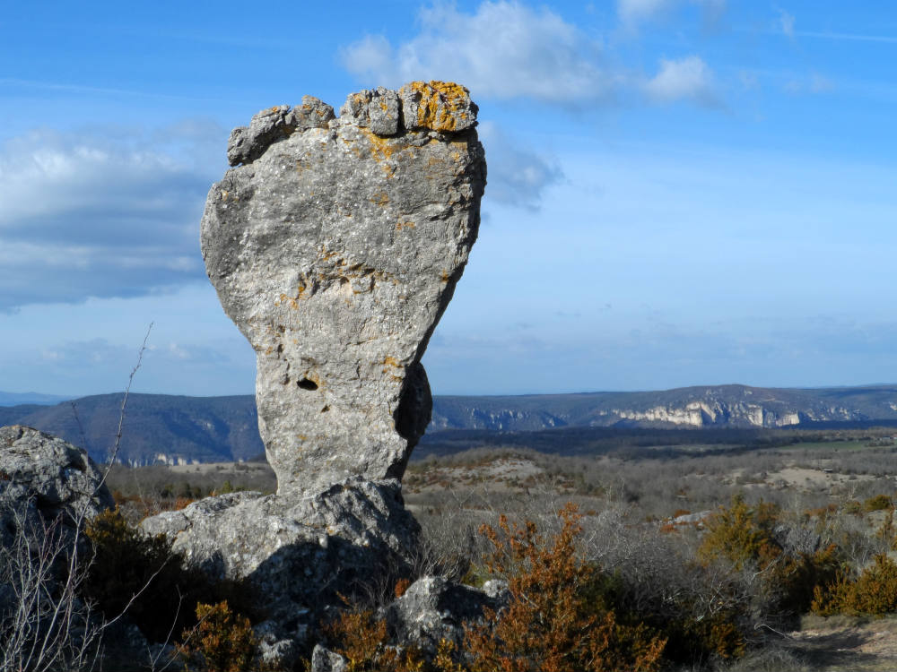
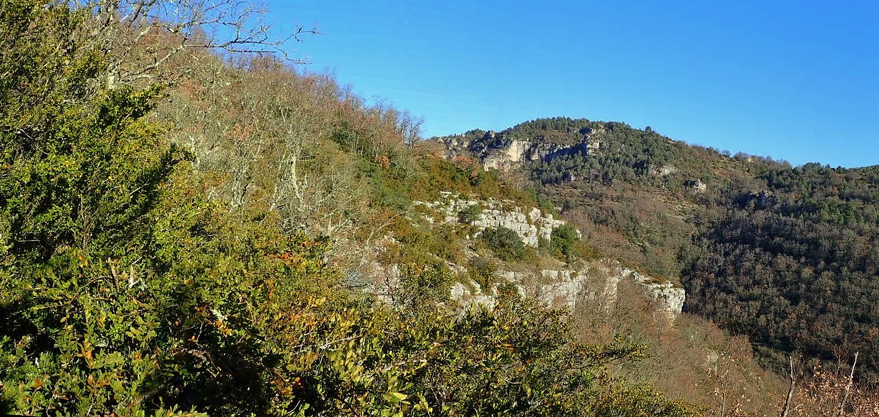
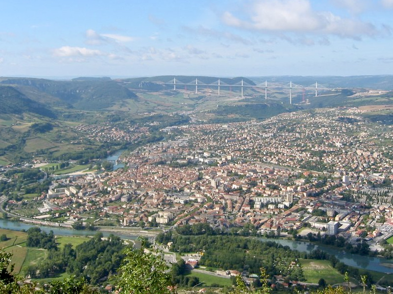
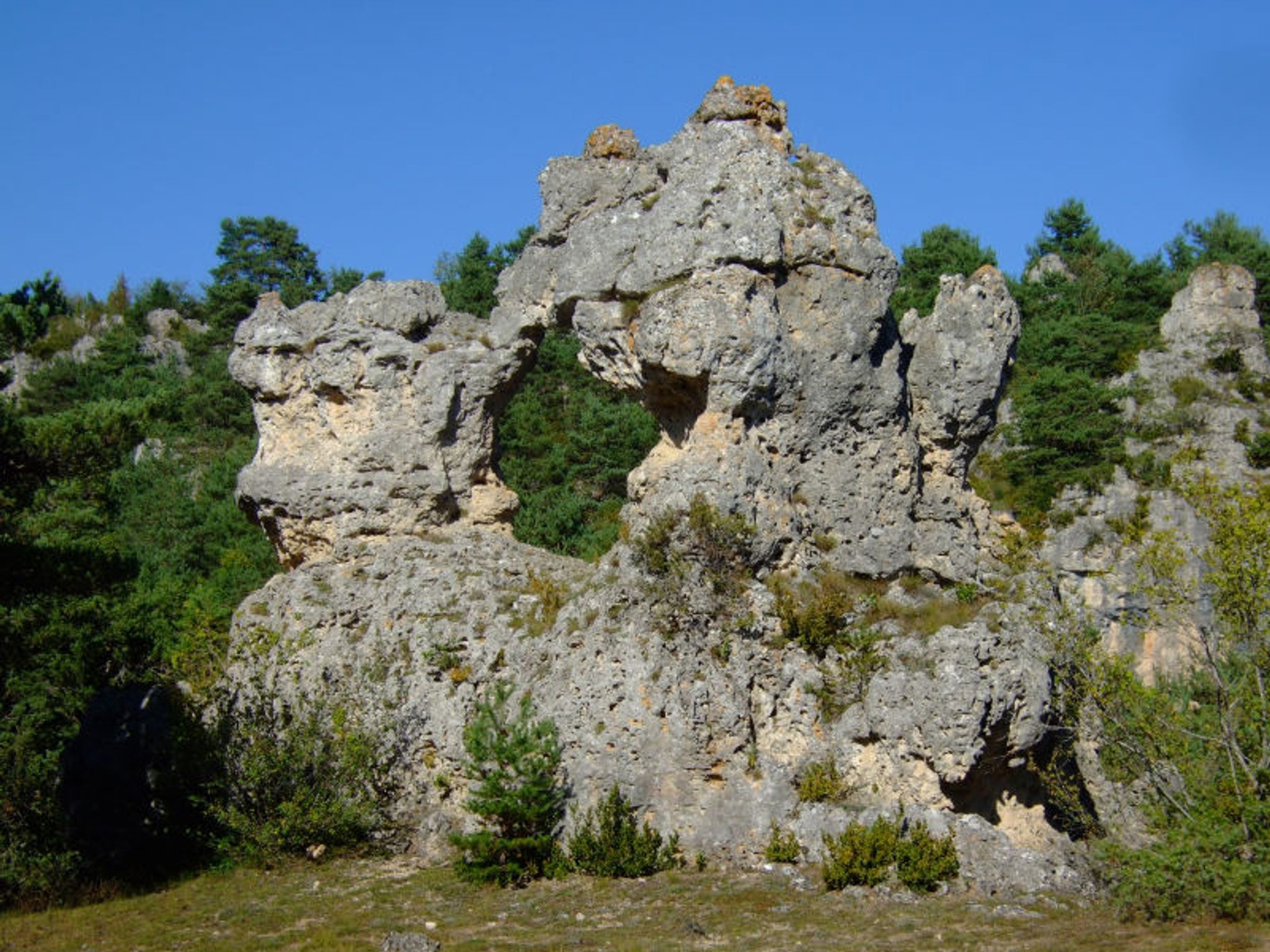
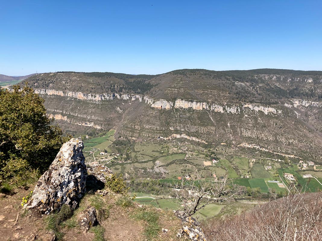
Starting from the Larzac Hospital, this route follows the path of the oppidum of La Granède, which runs along the cliffs of the Causse du Larzac, then continues on a forest track to the Pas Destrech cross. Nice views of Millau.

Already more than 200,000 users!
Uphill
185m
Highest point
794m
Downhill
185m
Lowest point
696m
Route type
Loop
Download the map on your smartphone to save battery and rest assured to always keep access to the route, even without signal.
Includes IGN France and Swisstopo.
I indicate whether dogs are allowed or prohibited on this trail
All year
0 ratings
Also enjoy:

Already more than 200,000 users!