Uphill
435m
France > Occitanie > Aveyron > Grands Causses Regional Natural Park
Length
7km
Duration
3h
Elev gain
435m
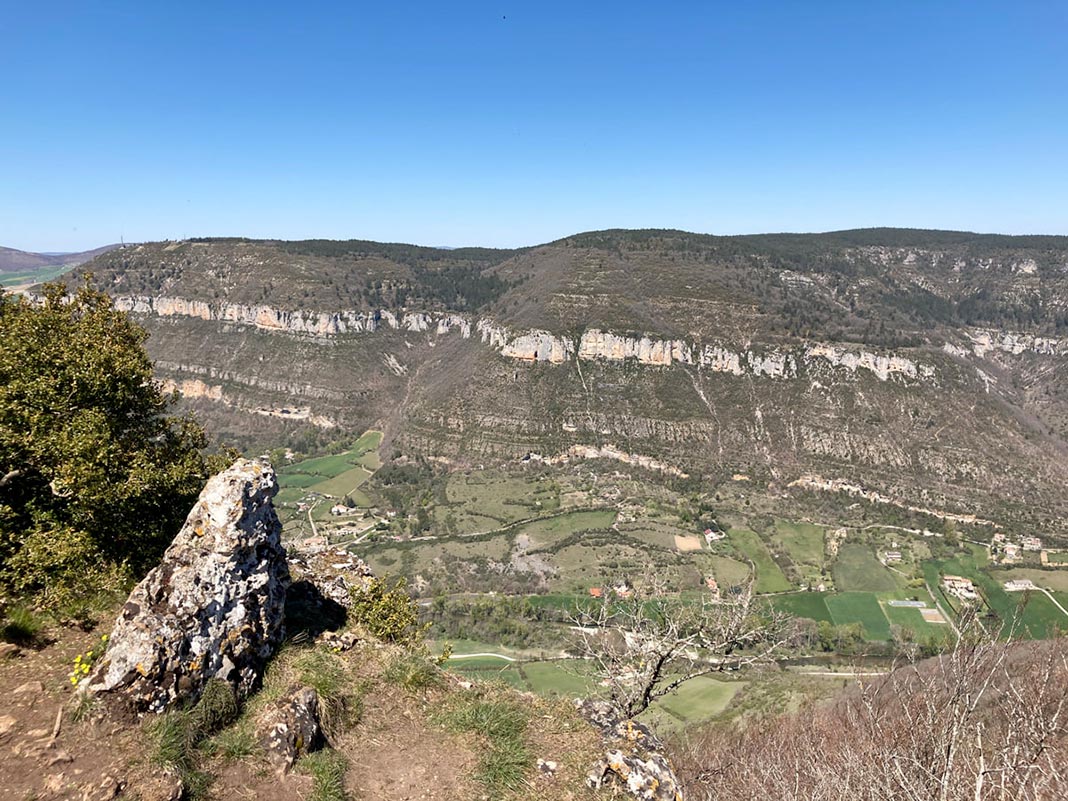
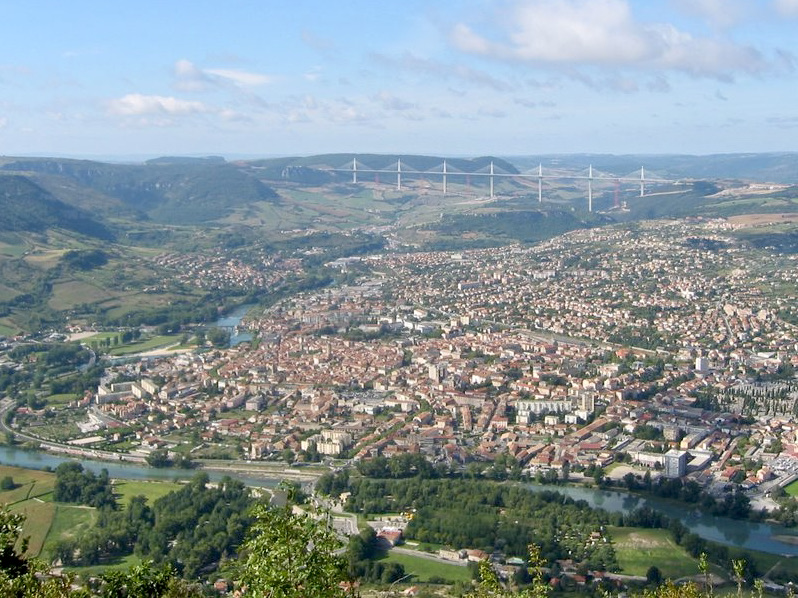
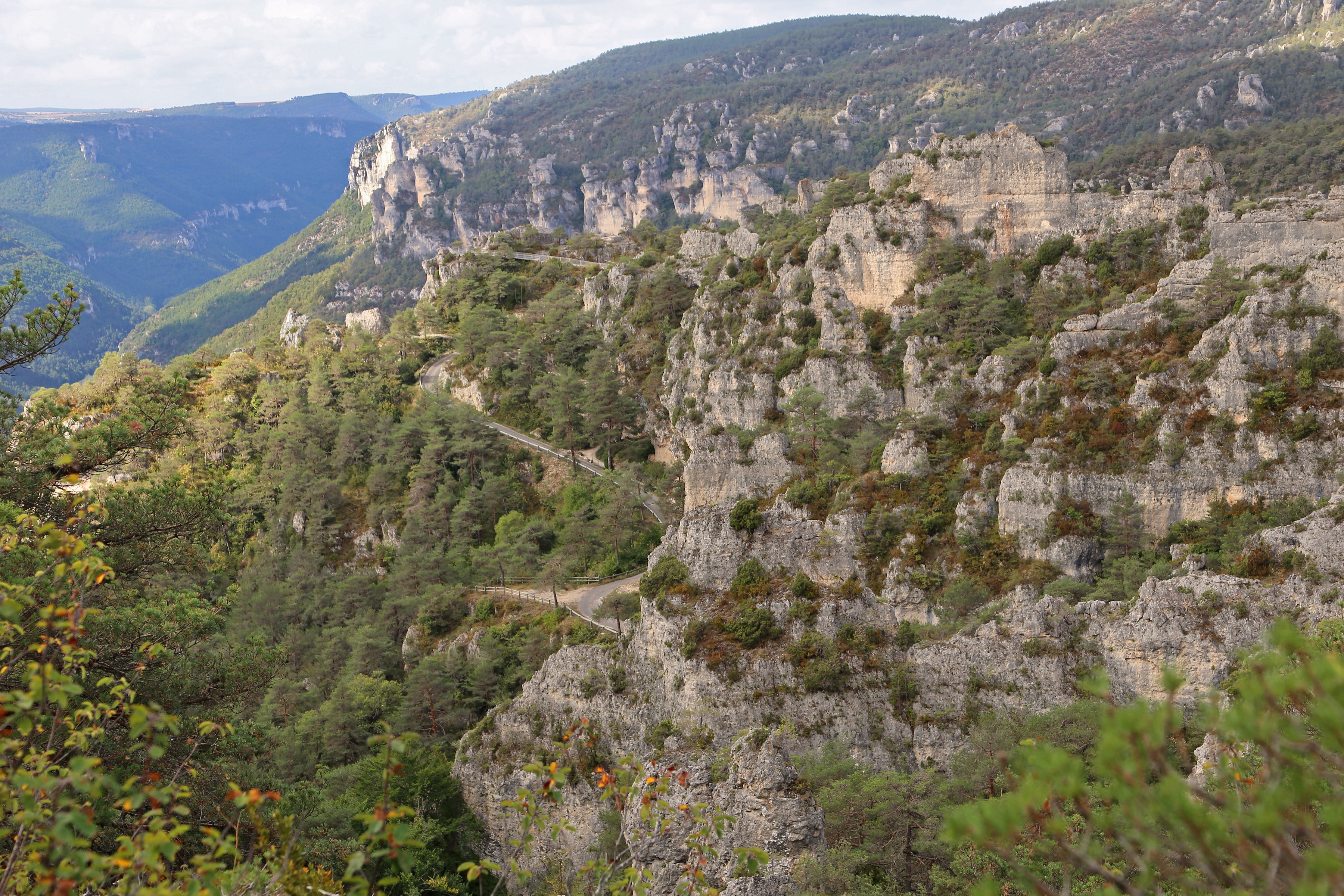
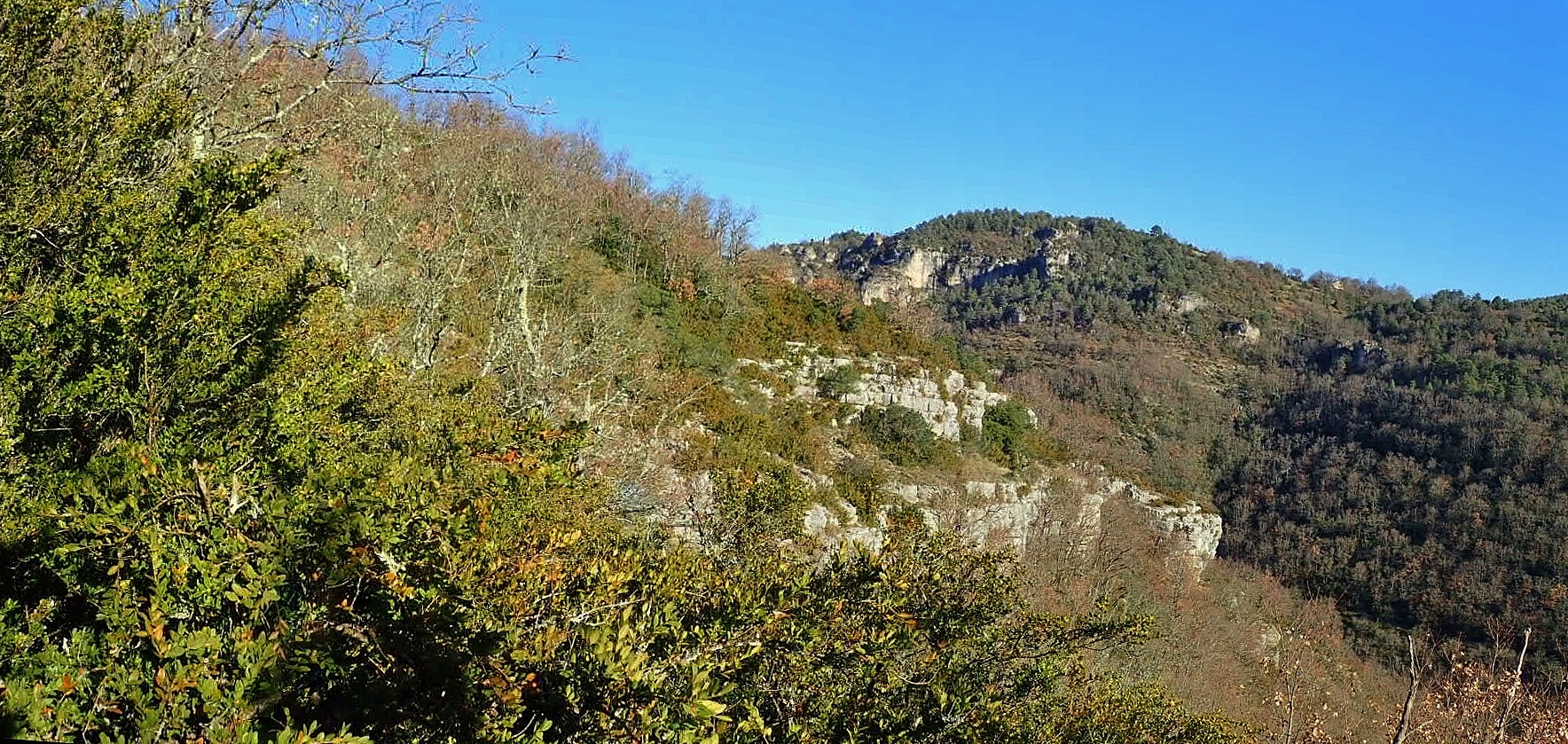
From Massebiau, this hike takes the direction of Larzac and climbs throughout the first part. Once at the top, the views of the surroundings are just as beautiful as they are numerous. The descent to the starting point is via the Roubelier ravine.

Already more than 200,000 users!
Uphill
435m
Highest point
736m
Downhill
435m
Lowest point
356m
Route type
Loop
Download the map on your smartphone to save battery and rest assured to always keep access to the route, even without signal.
Includes IGN France and Swisstopo.
I indicate whether dogs are allowed or prohibited on this trail
All year
1 rating
Also enjoy:

Already more than 200,000 users!