Uphill
335m
France > Occitanie > Aveyron > Grands Causses Regional Natural Park
Length
11km
Duration
3h30min
Elev gain
335m
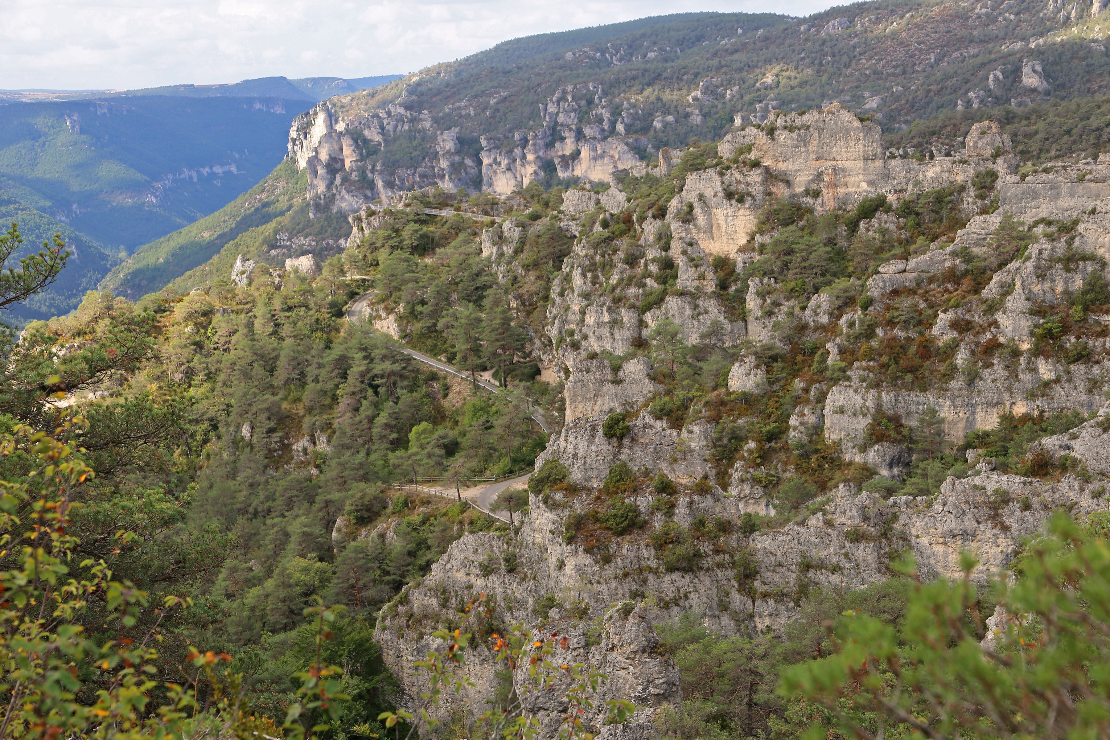
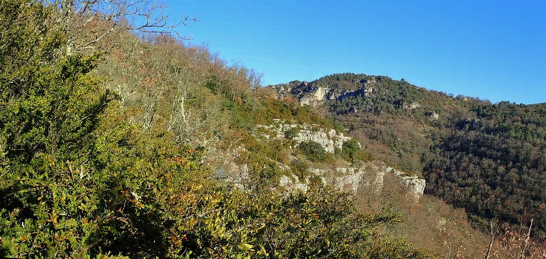
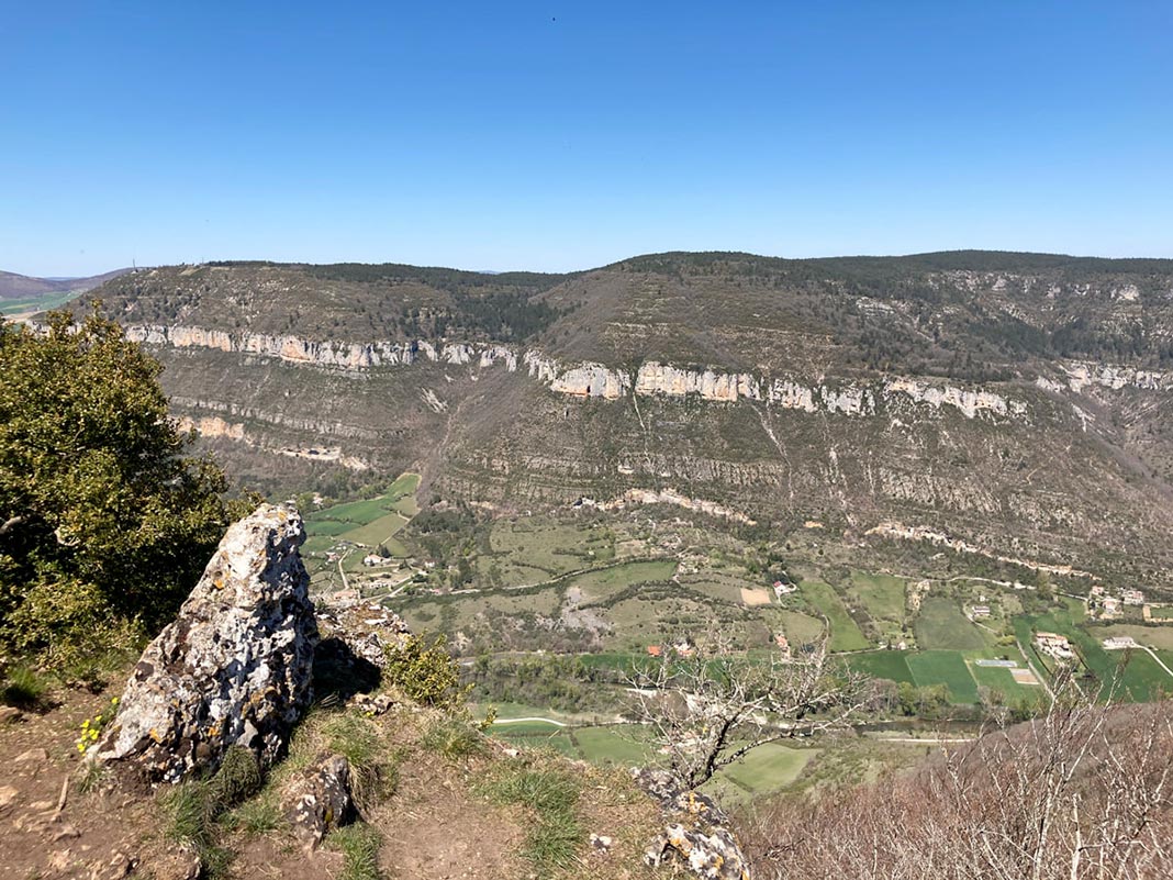
Here is a nice route located west of Longuiers. The path passes near several balms as well as the Caoussou, Valat Nègre and Puech Nègre sinkholes. A sporty hike with wild and open landscapes.

Already more than 200,000 users!
Uphill
335m
Highest point
836m
Downhill
335m
Lowest point
632m
Route type
Loop
Download the map on your smartphone to save battery and rest assured to always keep access to the route, even without signal.
Includes IGN France and Swisstopo.
I indicate whether dogs are allowed or prohibited on this trail
All year
1 rating
Belle randonnée, sportive par sa descente très raide, on imagine alors que la remontée va être terrible ! Et bien non ! Montée progressive, en sous bois, très agréable.
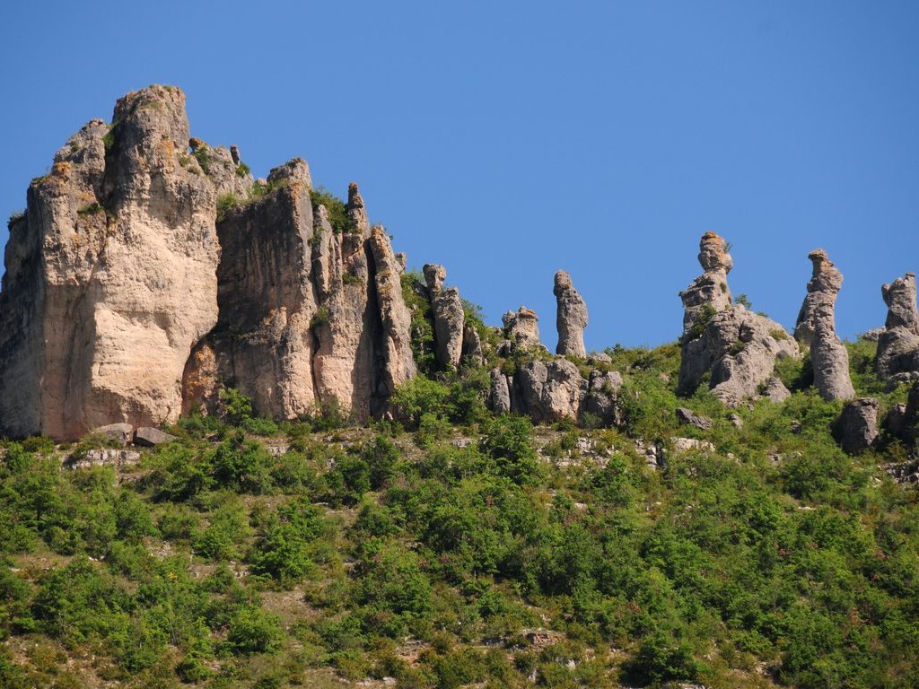
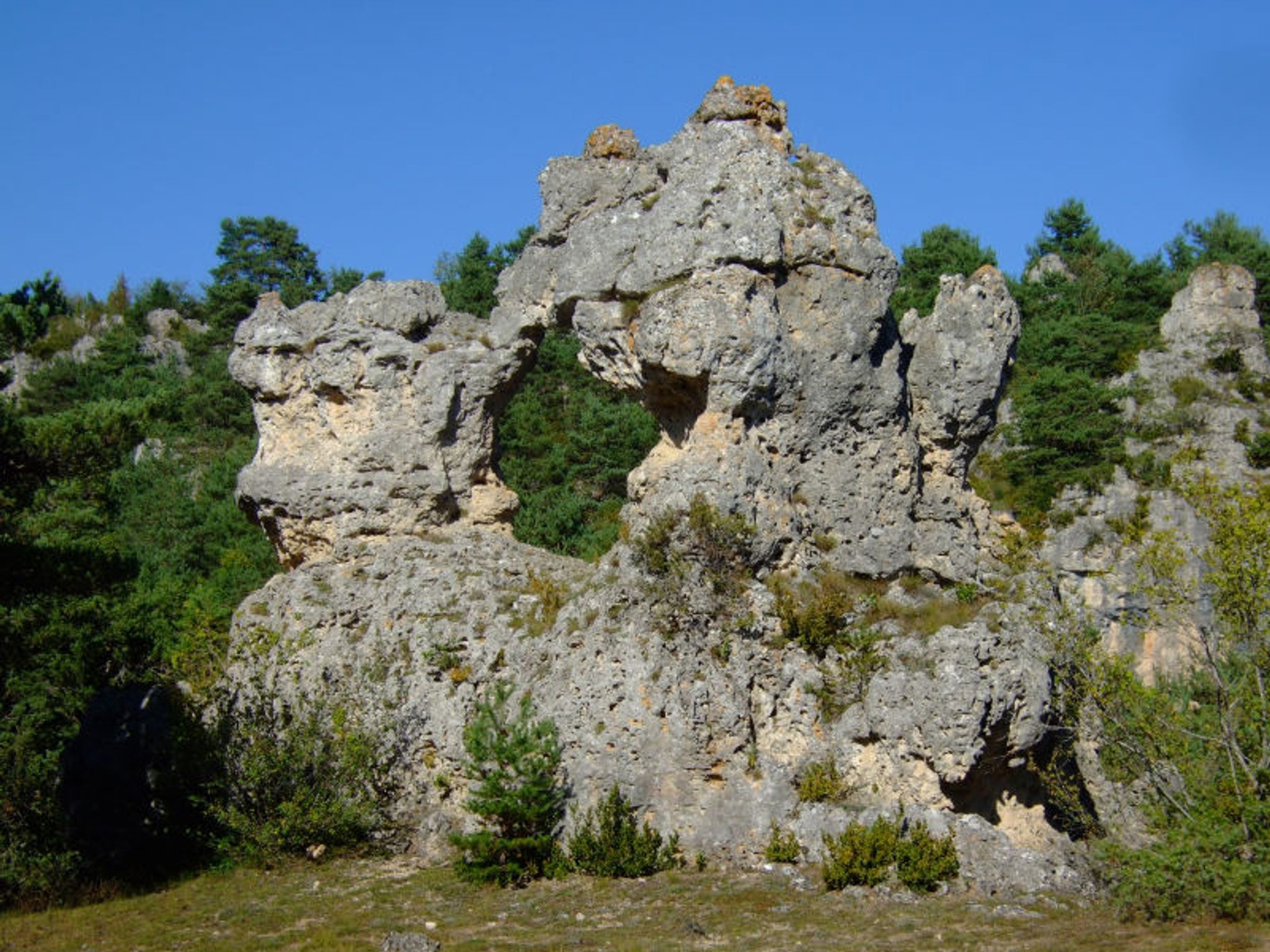
Rochers dolomitiques, panoramas sur la vallée, bal des vautours....
Par contre trace Gps indispensable
Also enjoy:

Already more than 200,000 users!