Uphill
101m
France > Occitanie > Aveyron > Grands Causses Regional Natural Park
Length
3km
Duration
1h
Elev gain
101m
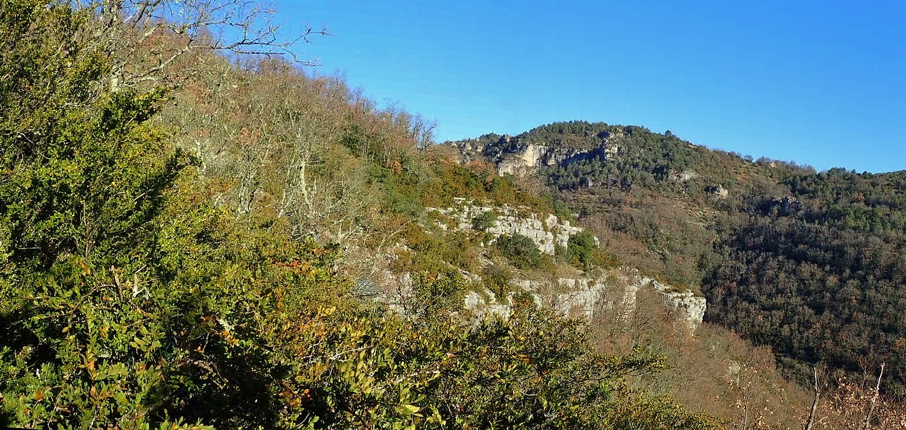
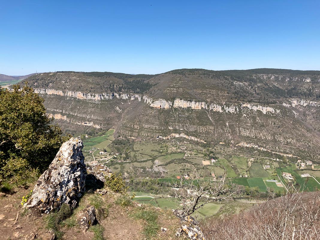
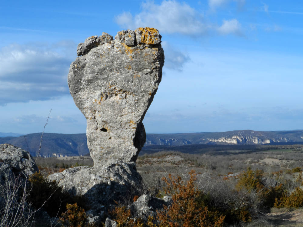
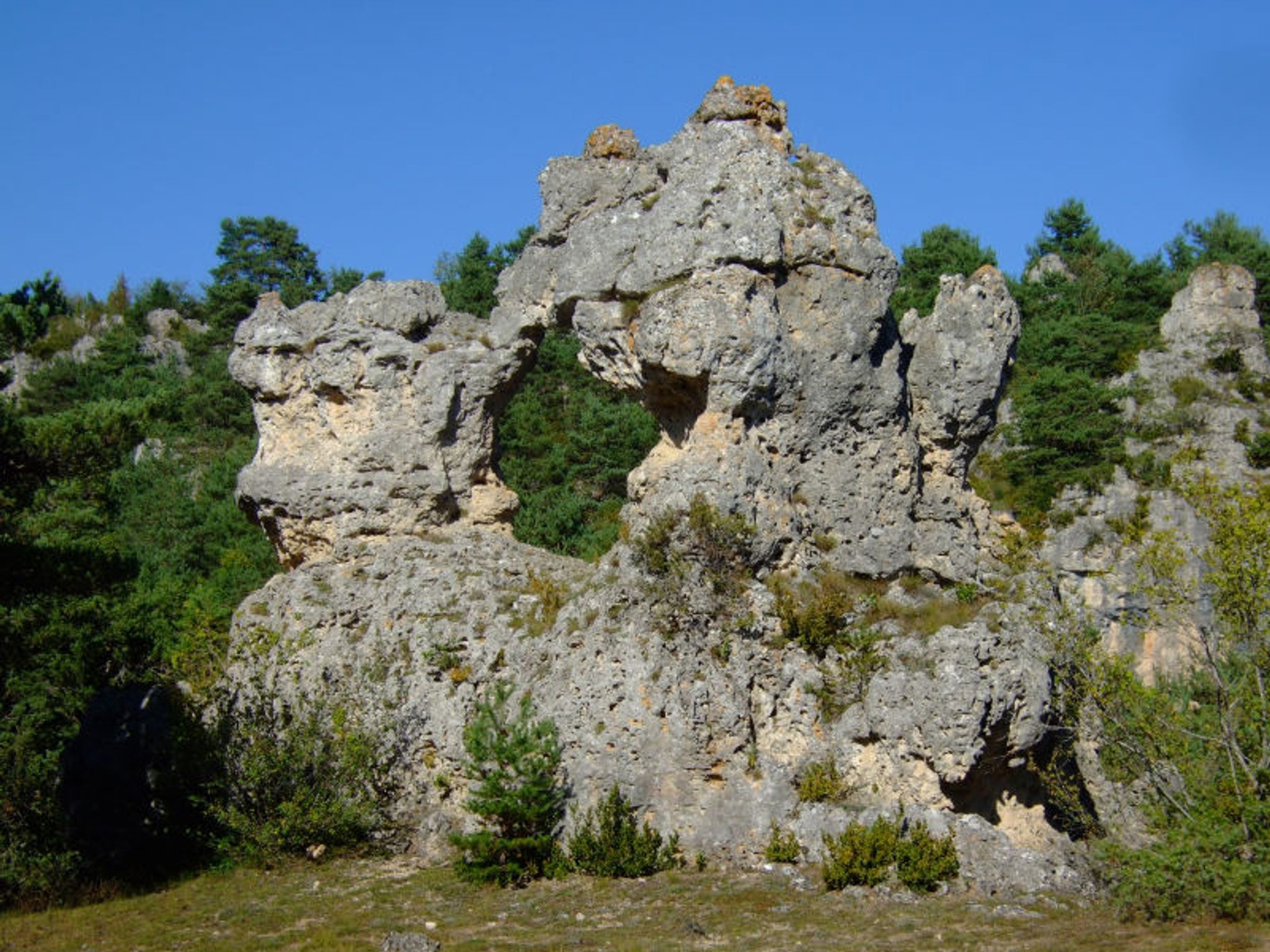
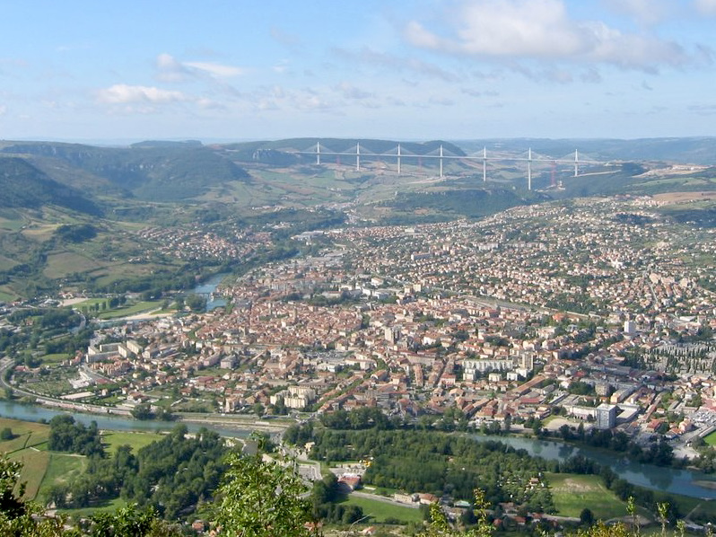
Here is a short hike in the heart of the Causse Noir national forest. The trail climbs to Pouncho d'Agast, 841 meters above sea level, then returns to the starting point. At the top, the view of Millau and its surroundings is breathtaking.

Already more than 200,000 users!
Uphill
101m
Highest point
829m
Downhill
101m
Lowest point
772m
Route type
Loop
Download the map on your smartphone to save battery and rest assured to always keep access to the route, even without signal.
Includes IGN France and Swisstopo.
I indicate whether dogs are allowed or prohibited on this trail
All year
1 rating
Also enjoy:

Already more than 200,000 users!