Uphill
272m
France > Occitanie > Aveyron > Grands Causses Regional Natural Park
Length
13km
Duration
4h
Elev gain
272m
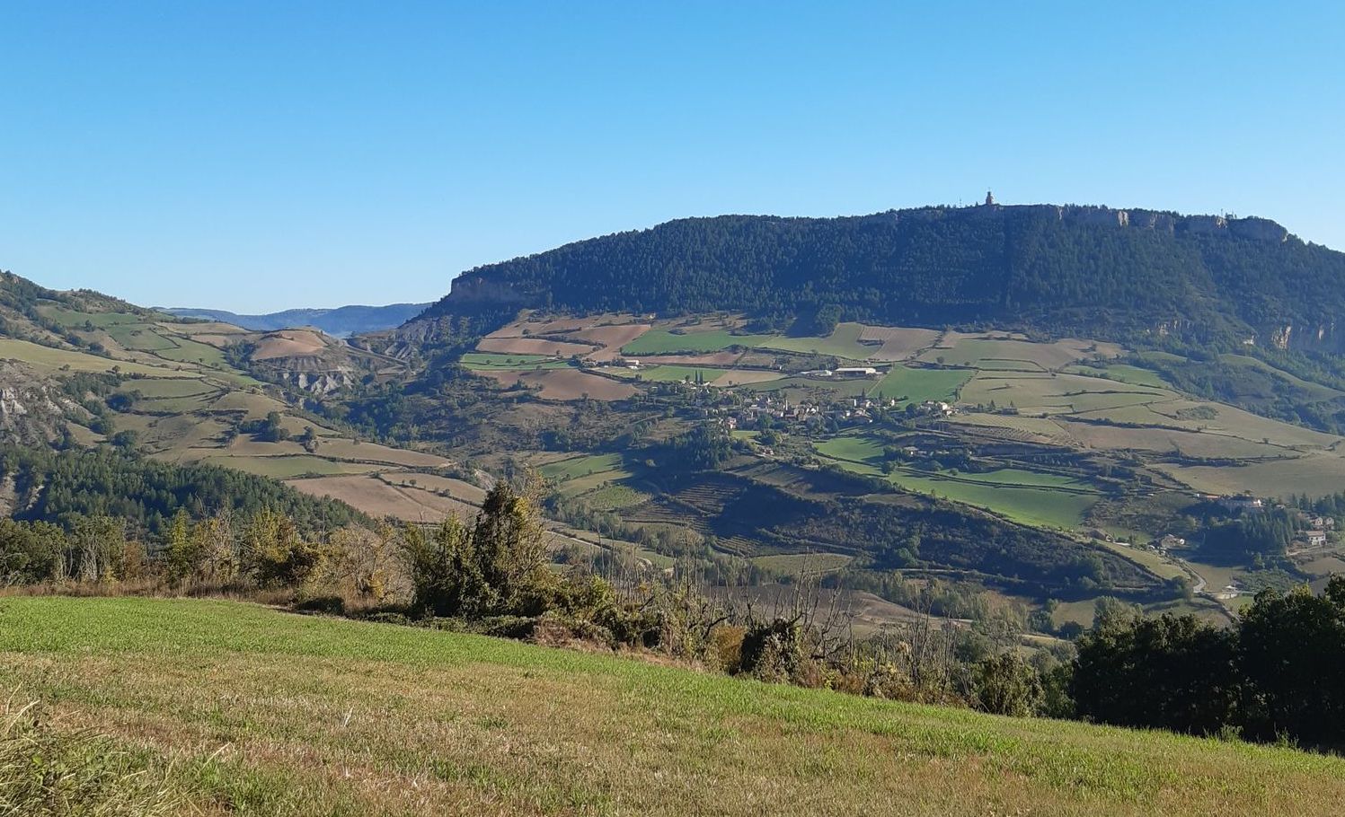
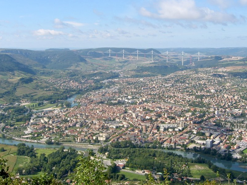
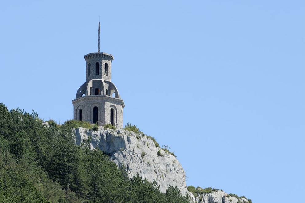
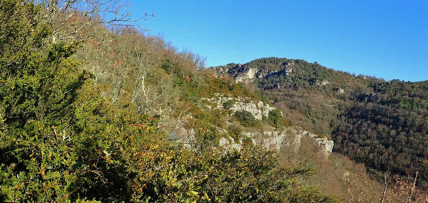
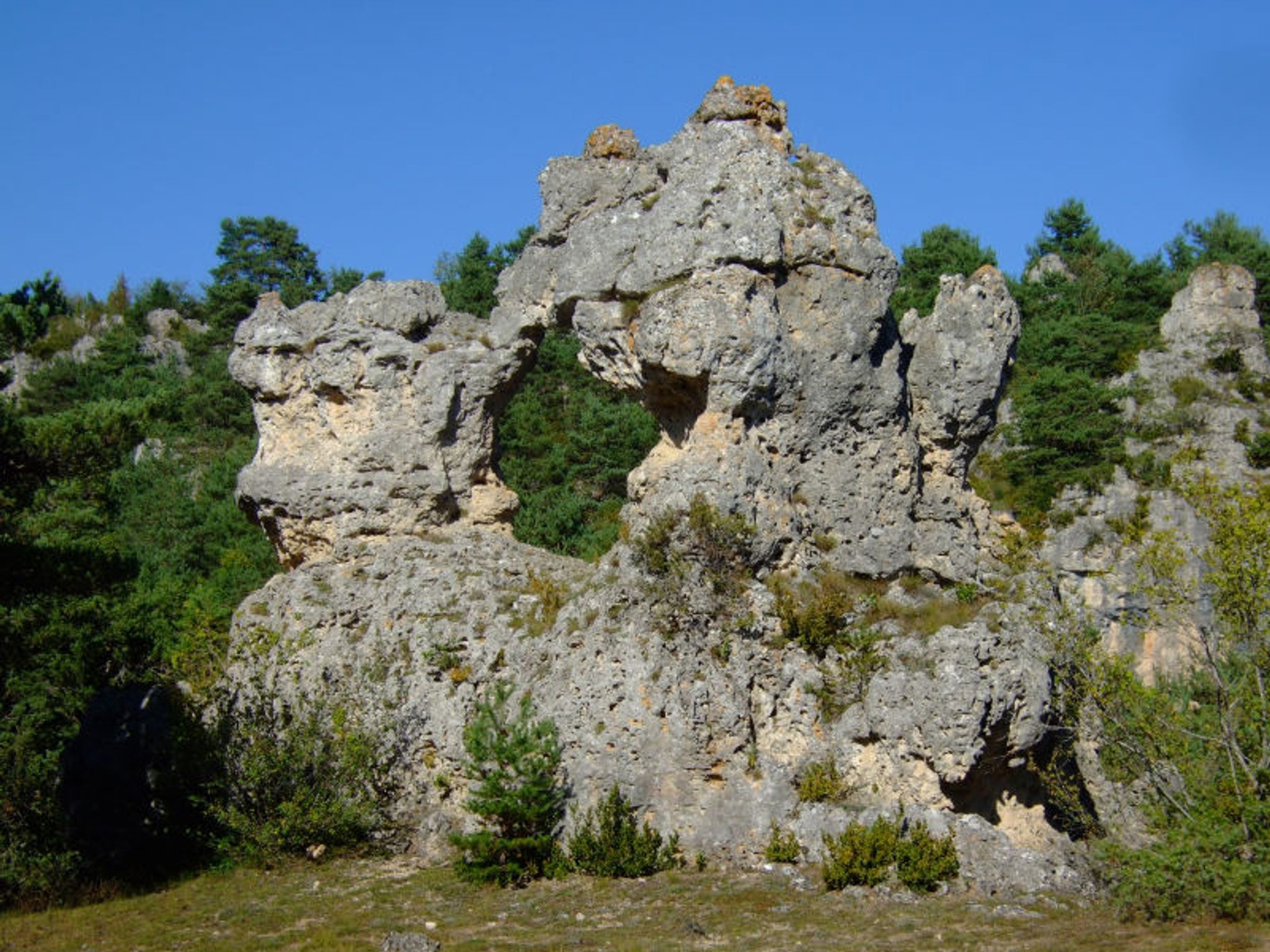
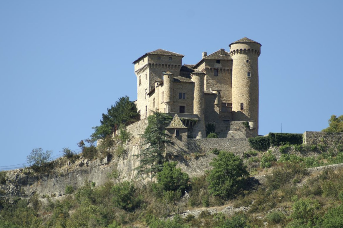
Leaving from the medieval village of Compeyre, this walk offers lovely views of the surrounding area, including the Tarn gorges. The route takes the direction of the Château de Cabrières, then passes through Aldiguiès, Lugagnac and Soulacroup.
Note, however, that several kilometers are on paved roads.

Already more than 200,000 users!
Uphill
272m
Highest point
617m
Downhill
272m
Lowest point
445m
Route type
Loop
Download the map on your smartphone to save battery and rest assured to always keep access to the route, even without signal.
Includes IGN France and Swisstopo.
I indicate whether dogs are allowed or prohibited on this trail
All year
0 ratings
Also enjoy:

Already more than 200,000 users!