Uphill
304m
France > Occitanie > Aveyron > Grands Causses Regional Natural Park
Length
9km
Duration
3h
Elev gain
304m
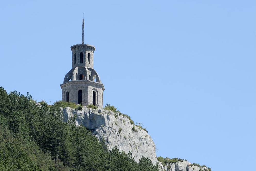
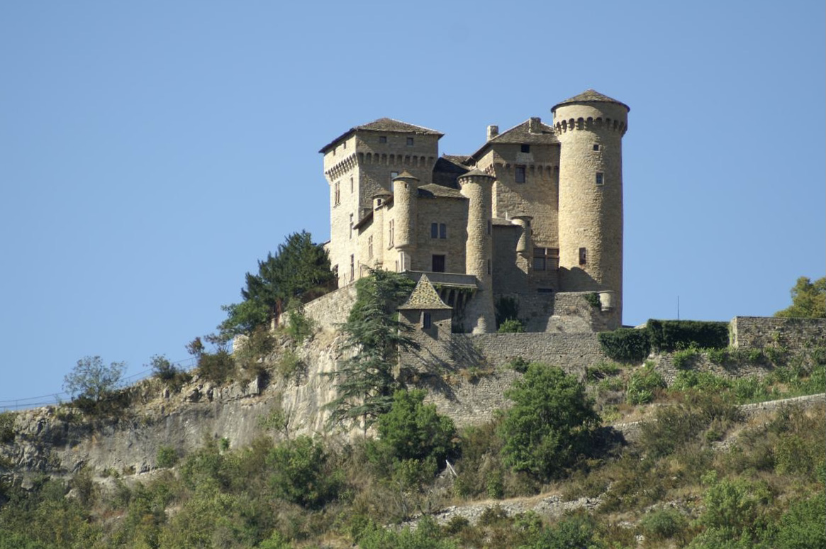
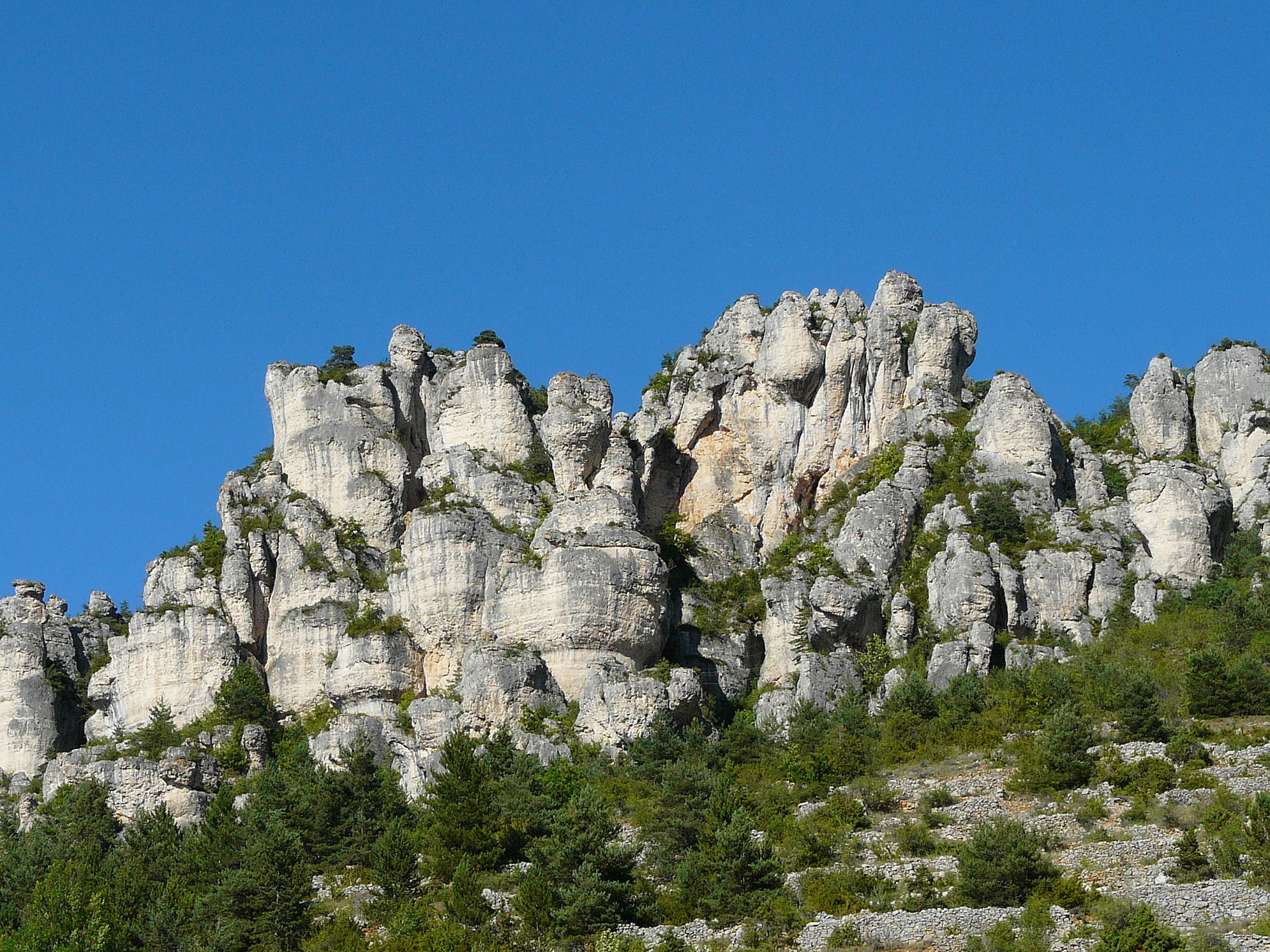
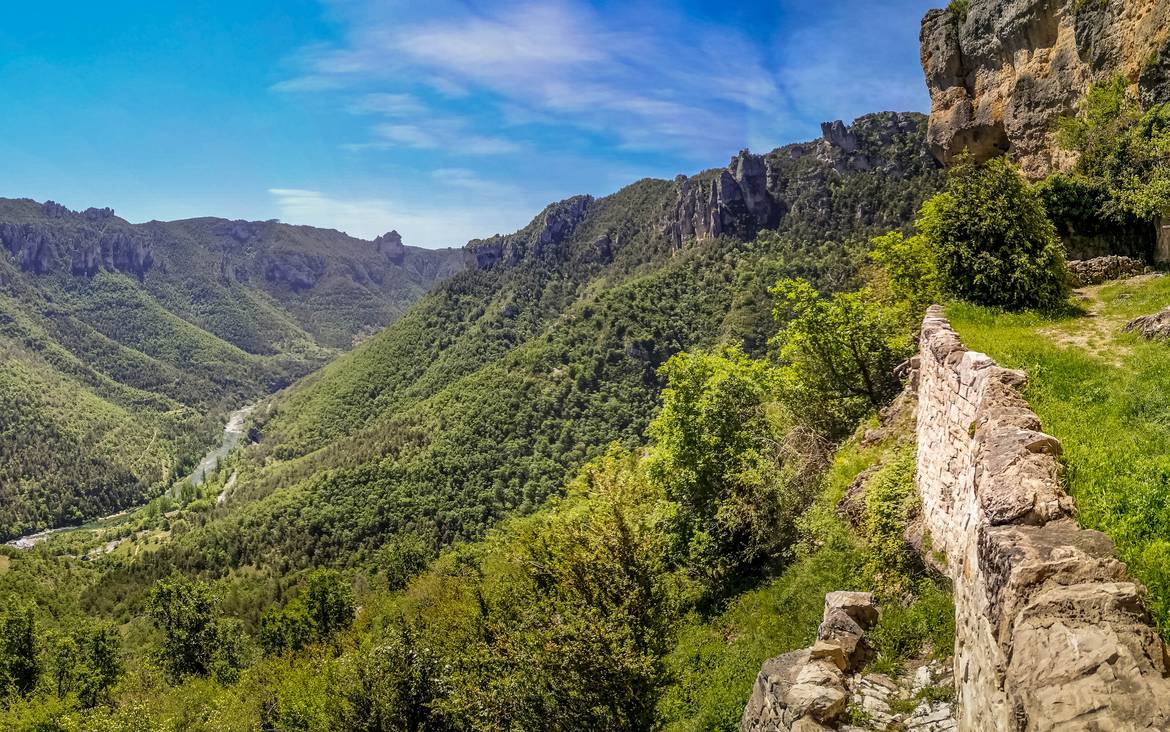
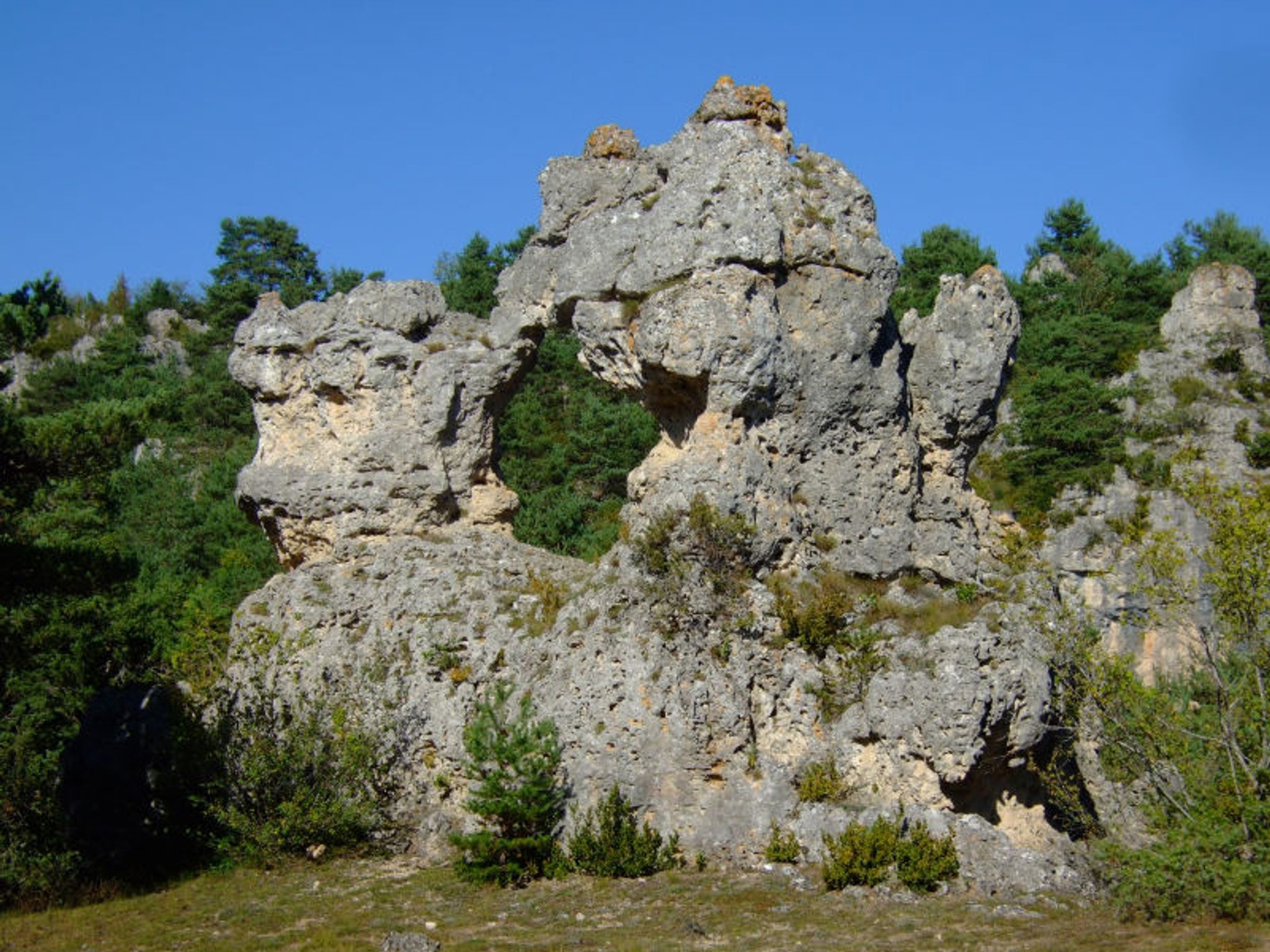
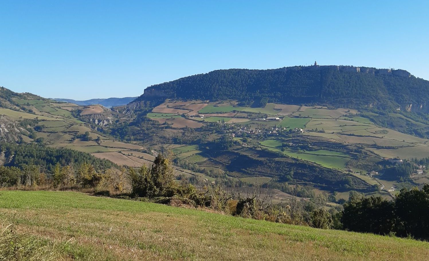
Departing from Rivière-sur-Tarn, this route takes the direction of Soulacroup and climbs rapidly to offer lovely views of the valley. Once in Soulacroup, the return is through the fields below the Puech de Luzergue, an 860-meter-high summit.

Already more than 200,000 users!
Uphill
304m
Highest point
614m
Downhill
304m
Lowest point
376m
Route type
Loop
Download the map on your smartphone to save battery and rest assured to always keep access to the route, even without signal.
Includes IGN France and Swisstopo.
I indicate whether dogs are allowed or prohibited on this trail
All year
1 rating
Also enjoy:

Already more than 200,000 users!